GOING FORWARD PHOTONIQUE WILL BE ADVERTISMENT FREE
GOING FORWARD PHOTONIQUE WILL BE ADVERTISMENT FREE
Originally Photographed July 2025
I USED A FUJIFILM MEDIUM FORMAT CAMERA
The Urban Cartographer Presents:
Photographed By William Murphy Using A Fujifilm GFX100RF
My First Visit to Athlunkard Bridge
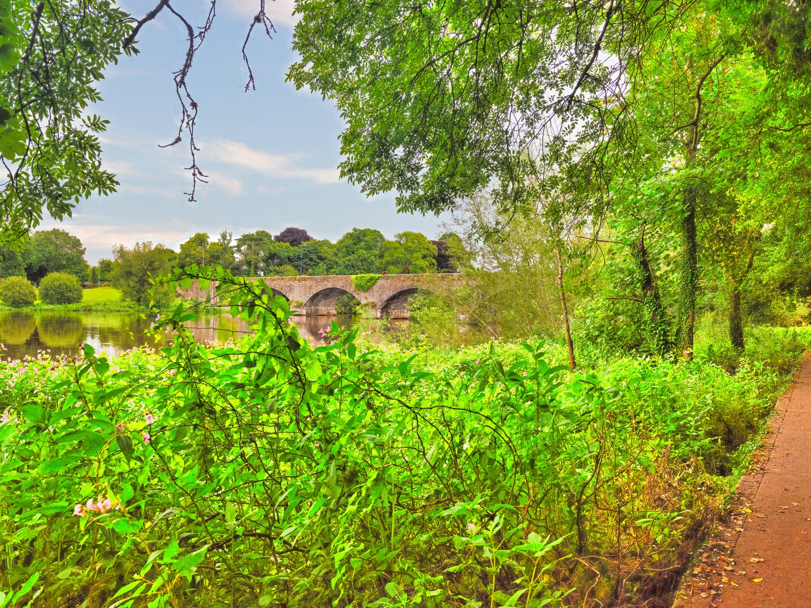
Having photographed Limerick’s various crossings over the years, Athlunkard Bridge had long lingered near the top of my list. During a week-long stay at the Absolute Hotel, I woke on 16th July to truly abysmal conditions. After waiting an hour or two in the hope that the rain might clear, I resolved to brave the elements regardless. Slinging my Fujifilm GFX 100RF over my shoulder—its weather-sealing and portability making it the ideal companion—I set out on foot.
The walk proved shorter than anticipated. By the time the River Shannon came into view, the squall had relented, though the flat, diffuse light still posed a photography challenge. The first detail to catch my eye on the city approach was an unassuming bus stop on the Limerick embankment, a quiet hint at just how integrated this historic structure remains in daily local life. I has been lead to believe that there was no bus service why is why I walked.
A Landmark of 19th-Century Engineering
Athlunkard Bridge is far more than a practical crossing; it stands as an enduring monument to 19th-century civil engineering, conceived at a pivotal moment in the region's social and commercial history.
Designed by the renowned English architects James and George Richard Pain—who also shaped Limerick's Thomond Bridge and Baal's Bridge—construction commenced in 1826 and concluded in 1830 at an estimated cost of £7,000. Spanning the Shannon along an east–west axis, the bridge comprises five graceful granite arches faced in finely dressed local limestone, showcasing the exceptional standard of period masonry.
Strategic and Infrastructural Importance
The bridge's completion was instrumental to the economic revival following the Napoleonic Wars. By linking the suburbs of Park and Corbally directly to the network of streets across King’s Island, Athlunkard Bridge opened up direct passage onto the Mathew Bridge and the central Rutland Street–George’s Street corridor.
Crucially, it drew the fertile agricultural hinterlands of north and east County Clare directly into Limerick’s commercial sphere. Almost overnight, it established itself as a primary trade artery into the city and an essential gateway towards the west of Ireland.
The Toll Bridge Era
To recoup construction costs, Athlunkard operated as a toll bridge for over half a century. A quaint toll house, which still stands on the city approach, served as the collection point: travellers on foot paid a halfpenny, whilst a horse and cart incurred a charge of one penny. The tolls were officially abolished on 28th April 1884, opening the bridge to unhindered public access.
Enduring Legacy
Today, Athlunkard Bridge functions both as an active regional link and as an architectural treasure. Straddling the boundary line between Counties Limerick and Clare, it provides panoramic vantage points over the Shannon, especially when the low light of sunrise or dusk catches the river. Nearly two centuries after the first stones were set, its enduring elegance remains central to the character and connectivity of Limerick.