GOING FORWARD PHOTONIQUE WILL BE ADVERTISMENT FREE
GOING FORWARD PHOTONIQUE WILL BE ADVERTISMENT FREE
Originally Photographed 29 June 2026
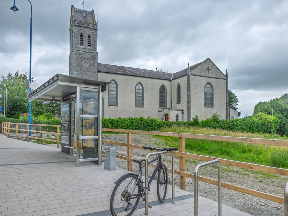
CHURCH AND GRAVE SERIES
* In The Year 2008 * In The Year 2011 * In The Year 2017 * Henrietta Back In 2010
The Lyreen River and Linear Park: A Confluence of History and Urban Ecology
The linear park along the banks of the Lyreen River in Maynooth serves as a vital green lung and biodiversity corridor within the rapidly expanding university town. Meandering through low-lying landscapes, the river threads through key historic and modern spaces, flowing past the south campus of Maynooth University, skirting the 13th-century Maynooth Castle, and tracking behind the residential and commercial properties of Main Street before its eventual confluence with the Rye Water.
Today, the park provides a tranquil, pedestrian-friendly pathway that connects the historical heart of the town with newer residential communities. Ecologically, the river maintains a diverse aquatic ecosystem, supporting populations of brown trout, stone loach, minnows, and lampreys. However, as modern housing developments frame these green spaces, managing the intersection between the natural river environment and urban infrastructure presents unique ecological challenges.
Origin of the Name
The Irish name for the Lyreen River is An Laidhrín.
The Etymology: It is a diminutive form of the Irish word ladhar, which translates to "fork". This describes the natural split or branching characteristics of the river channels in the low-lying topography.
Historical Record: The Anglicised version of the name was first recorded as Leyrin in the Civil Survey of 1654–56 (Volume VIII, County of Kildare).
Historical Context: Private Estates and Industrial Mills
The lands bordering the Lyreen River have a rich history that tightly intertwines both private aristocratic estate development and intensive industrial milling operations.
The Manor Mills - Rather than being exclusively a quiet residential or agricultural landscape, this area was a bustling industrial hub for centuries. The river's flow was essential for powering local industry:
As early as 1328, records document the existence of mills on the grounds of Maynooth Castle, leveraging the Lyreen to grind grain for the surrounding hinterlands. A dedicated mill race was constructed, branching off the Lyreen near St. Mary's Church to channel water directly to the Manor Mills complex (the site now occupied by the modern Manor Mills Shopping Centre).
By the 19th century, under the ownership of the Duke of Leinster, the site evolved to feature sluices, kilns, stables, and a large flour mill. A major 1850 iron-and-timber waterwheel, built by Thomas Smith of Celbridge, powered operations well into the 20th century under the management of the Kavanagh family.
The Leinster Estate Links
The area was also fundamentally connected to the vast private estate of the Anglo-Norman FitzGerald family (the Earls of Kildare and later Dukes of Leinster).
Maynooth Castle was intentionally constructed at the confluence of the Lyreen and the Joan Slade (or Owenslade) tributary to maximise defensive water barriers.
When the Dukes of Leinster established their primary seat at the sprawling Carton Demesne east of the town in 1739, the downstream waters of the Lyreen were fully integrated into the grand landscaped estate. Elegant limestone crossings, such as the William Bridge built in the 1790s, were erected over the river to connect the town’s main avenues directly to the private estate grounds.
Urban Ecology: The Infrastructure Challenge of Shallow Root Systems
As visitors explore the modern pathways of the linear park, a distinct physical conflict between the historic flora and modern pedestrian infrastructure becomes apparent. In several areas, the tarmac and paving slabs are heavily distorted, cracked, and heaved by extensive root systems that stretch surprisingly far from the parent tree trunks.
This dramatic lateral expansion is a classic indicator of shallow, opportunistic root architecture, driven by the specific environmental conditions of the river basin:
The High Water Table: Because the park sits directly on the banks of the Lyreen, soil moisture is abundant near the surface. Trees such as Willows, Poplars, Alders, and certain Maples—which thrive in riparian (riverbank) zones—have no biological incentive to grow deep taproots. Their root systems naturally adapt by spreading outwards rather than downwards.
The "Greenhouse Effect" of Footpaths: Paved surfaces trap moisture underneath them, causing condensation to pool directly below the tarmac. Tree roots are highly sensitive to these moisture pockets and grow directly along the underside of the path, gradually thickening over time and lifting the infrastructure.
Soil Compaction: The heavy compaction of deeper soil layers typical of urban park construction starves the lower earth of oxygen. This forces the active root systems to remain within the top 30 to 60 cm of soil where they can still access air and rainwater.
Managing this delicate balance requires a thoughtful approach from local authorities. To preserve both pedestrian safety and the health of the mature trees, modern urban planning along the Lyreen increasingly relies on root-barrier membranes, porous asphalt that allows the ground to breathe, or the strategic redirection of pathways entirely outside the mature root zones.
* Clontarf Railway Station * Docklands Railway Station * Malahide Railway Station