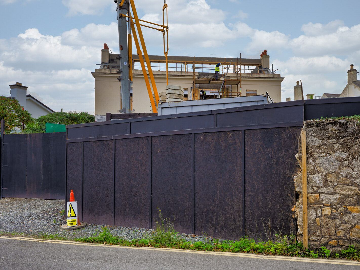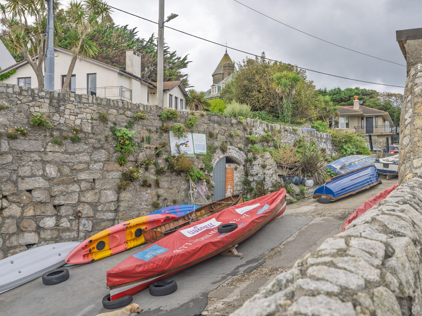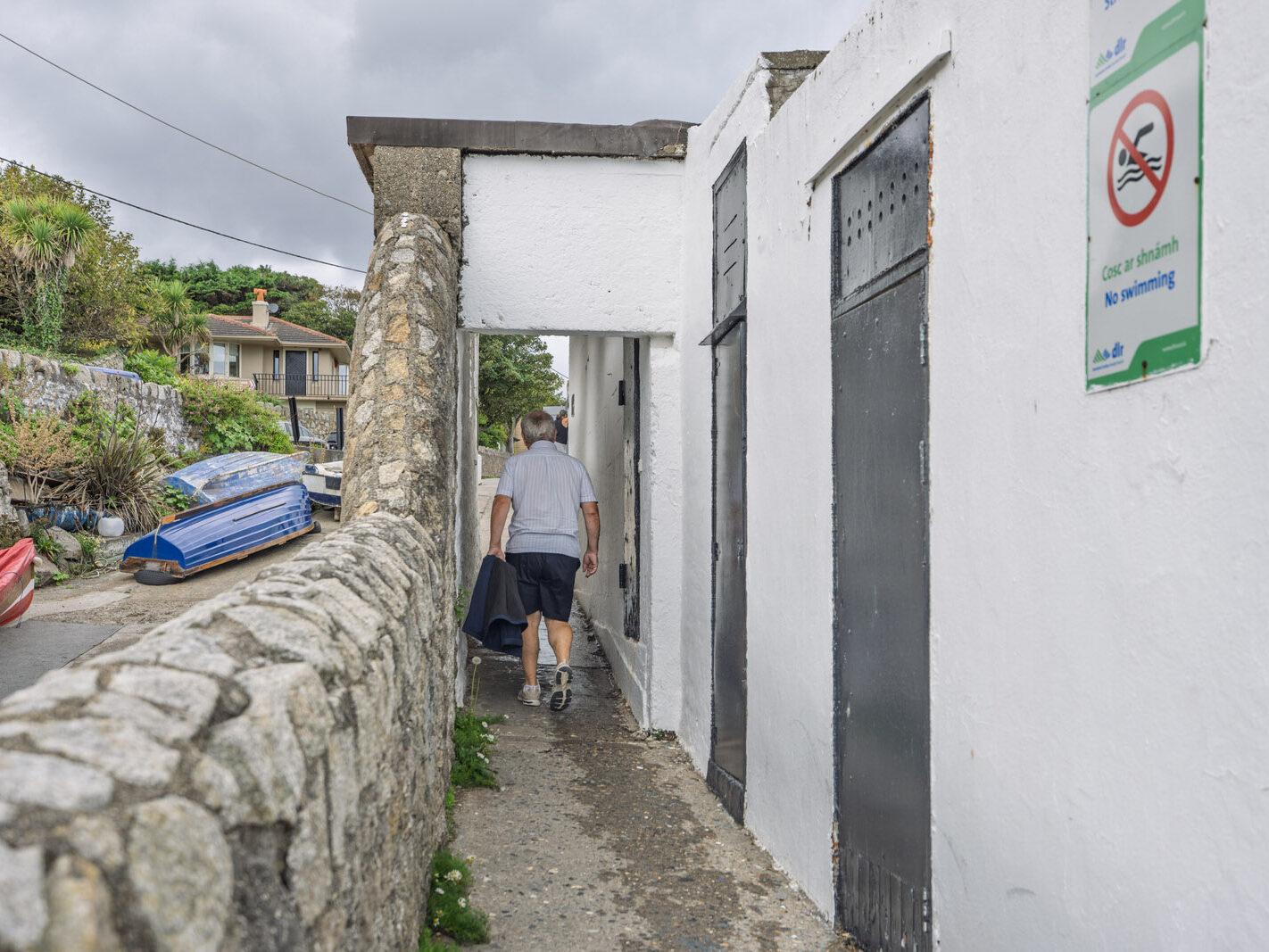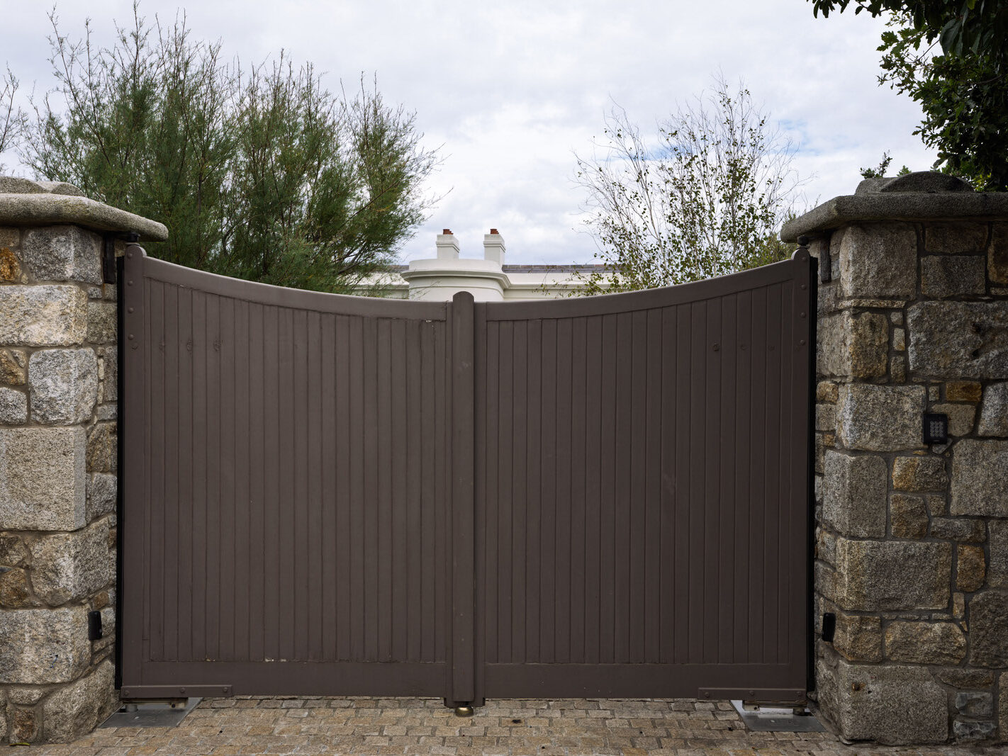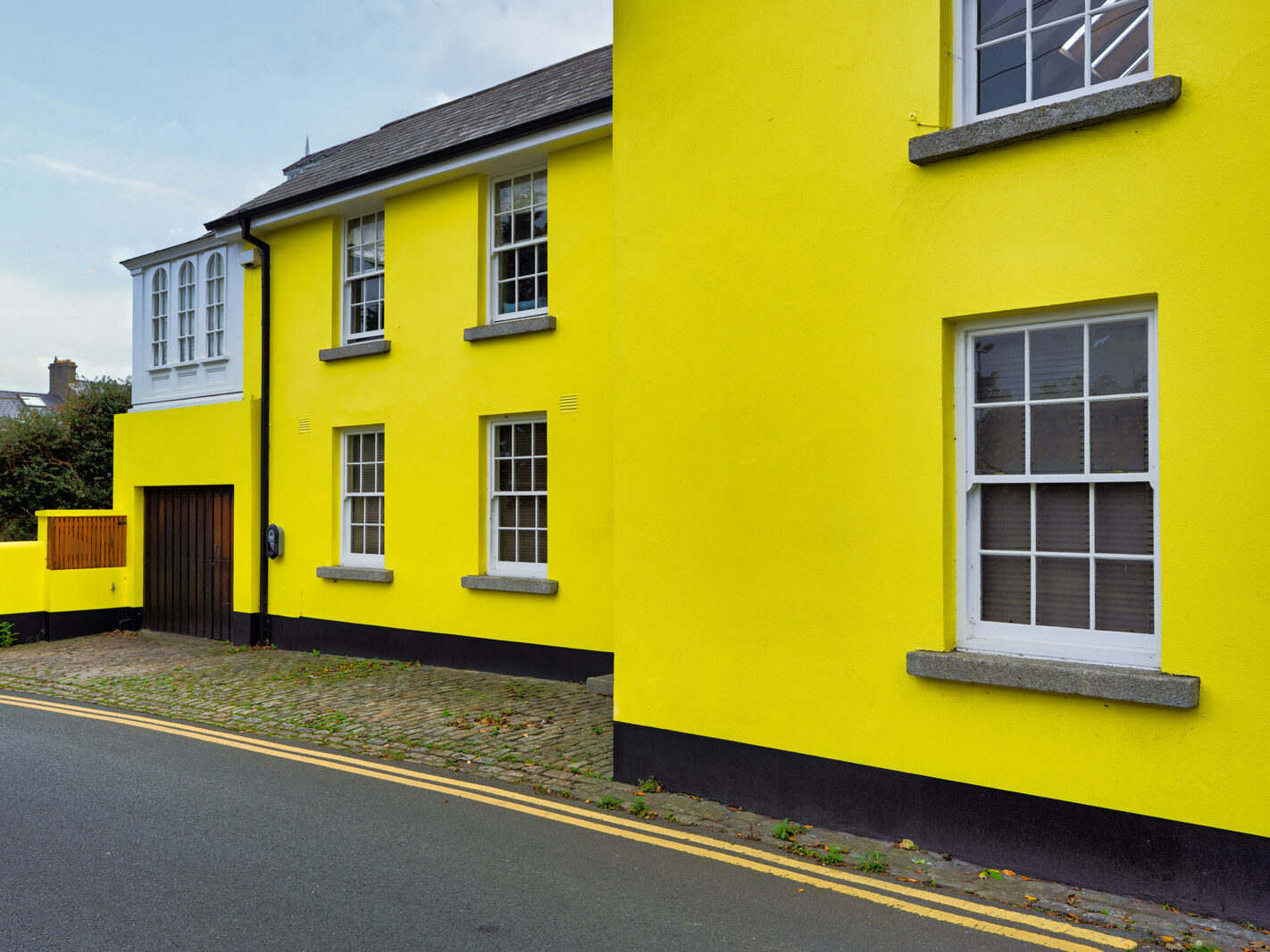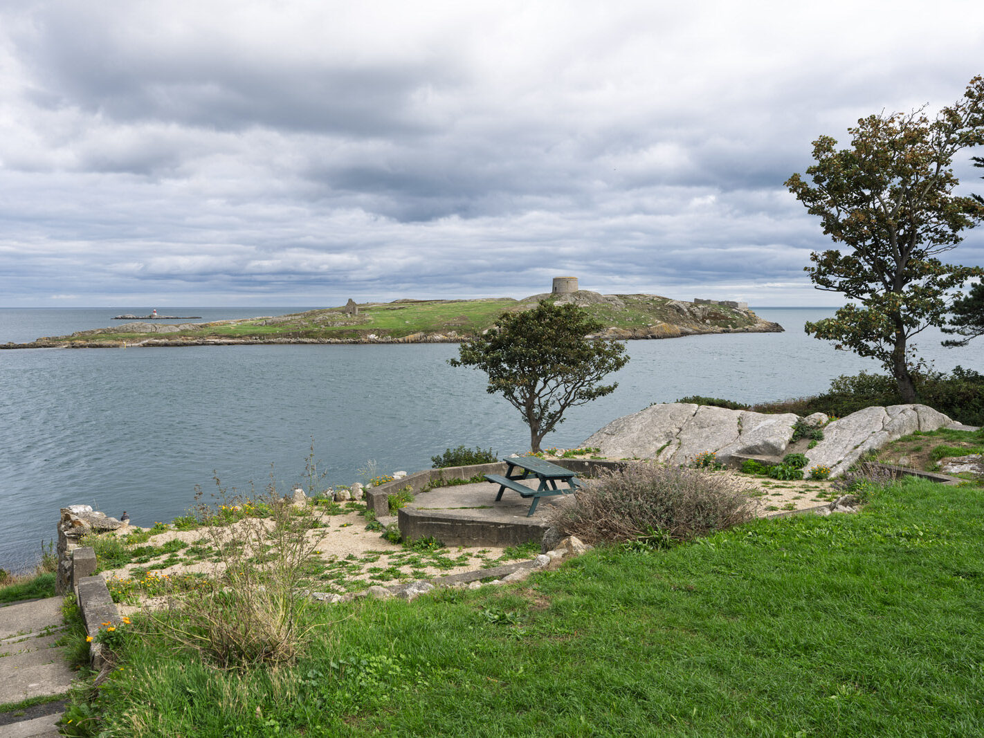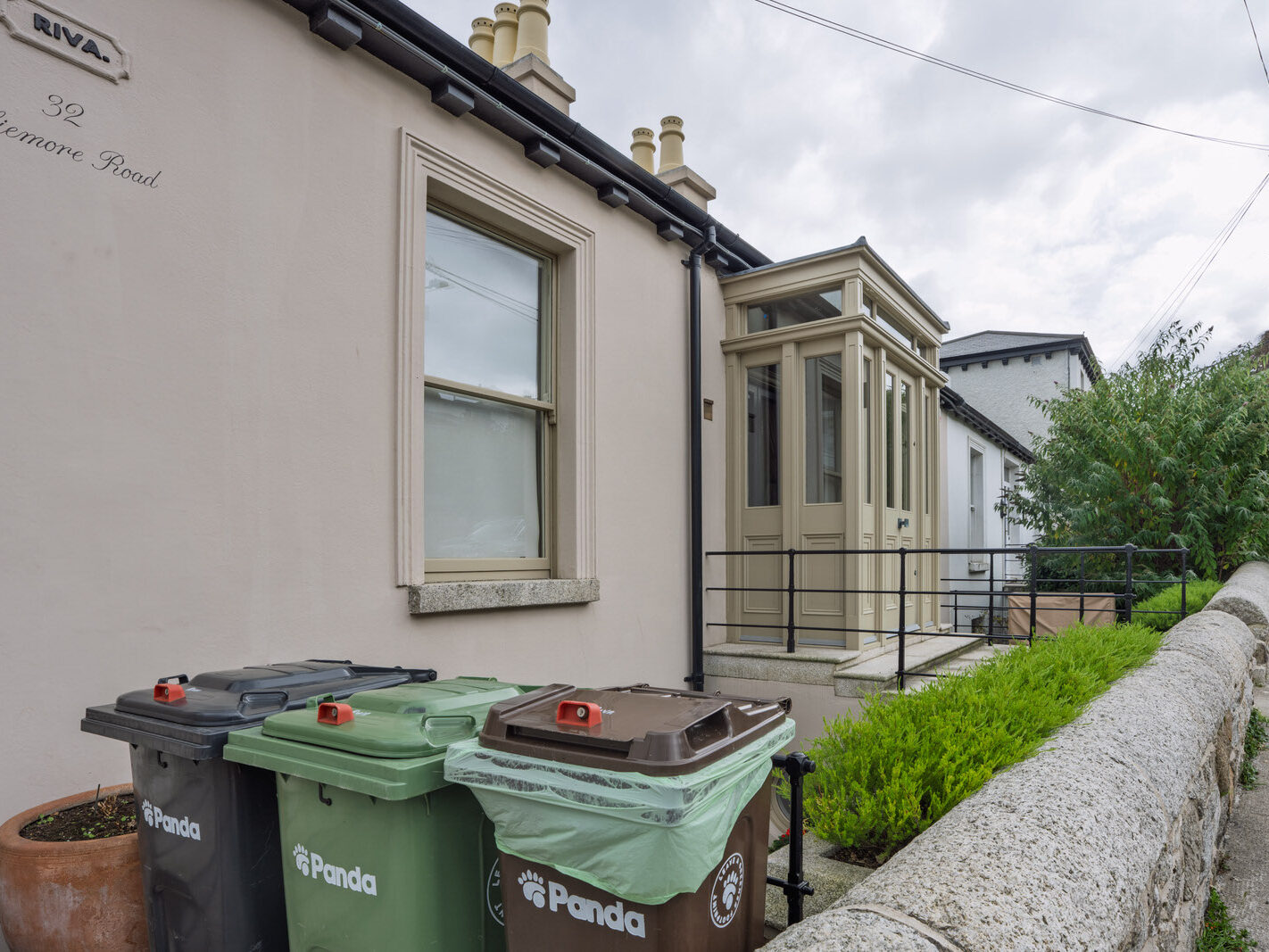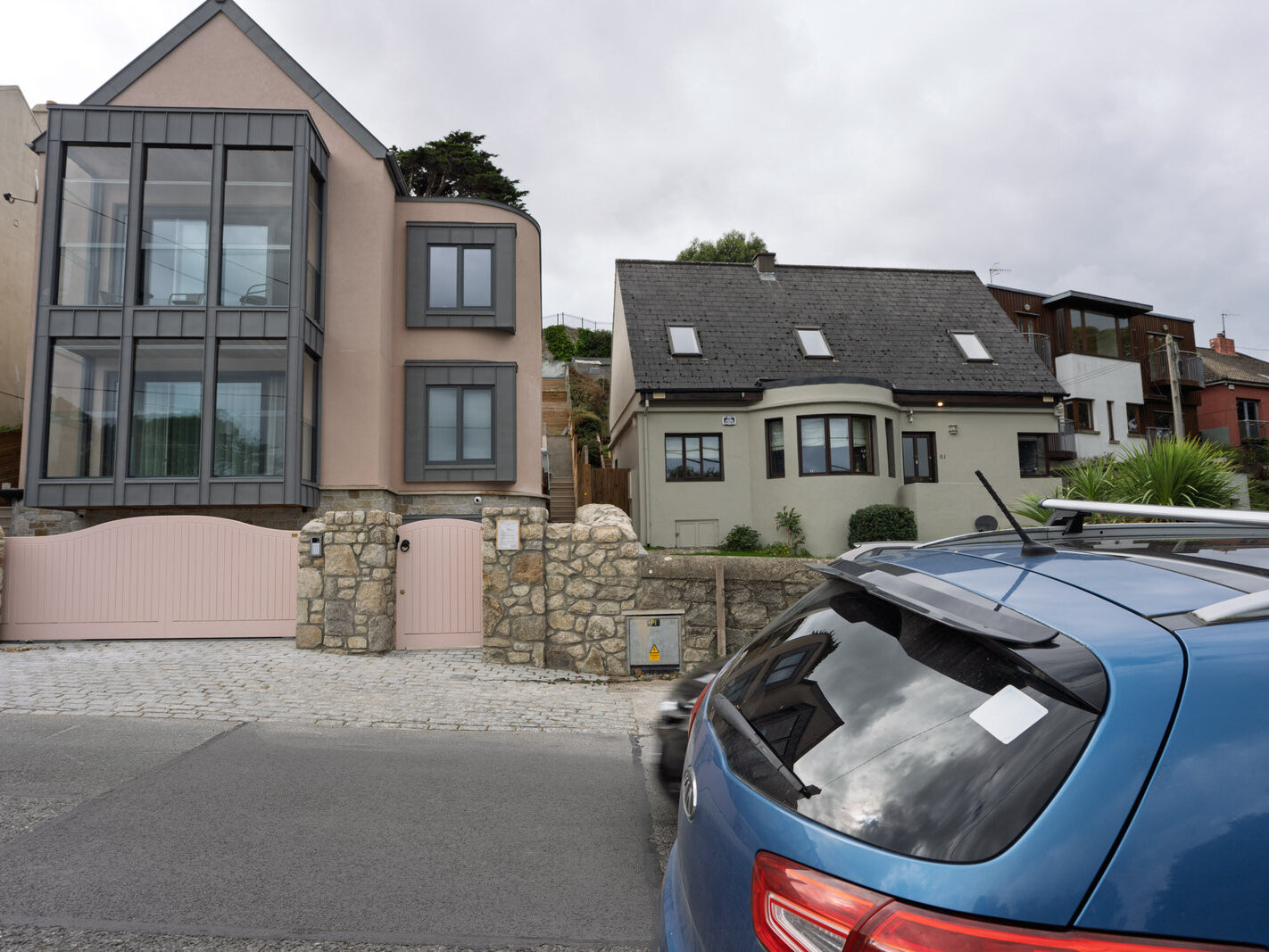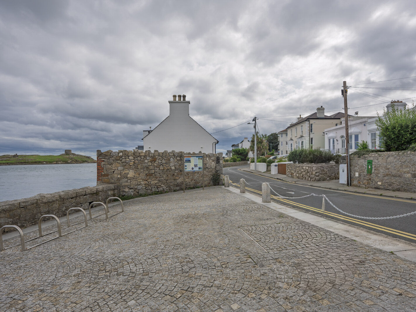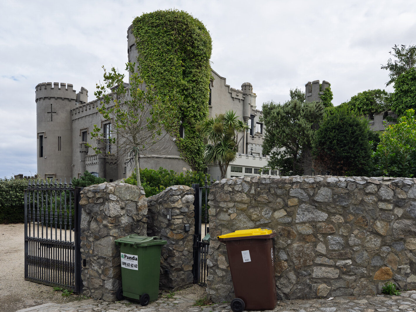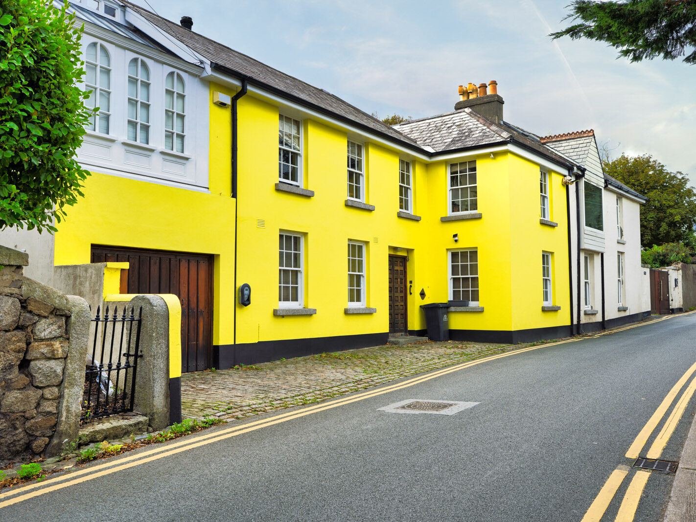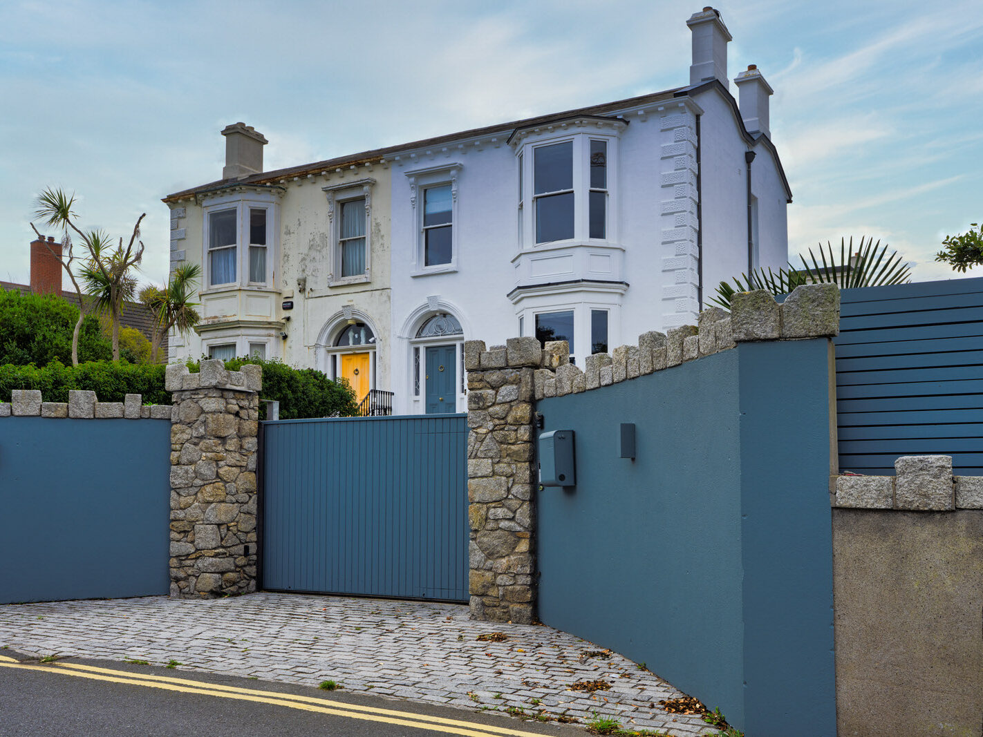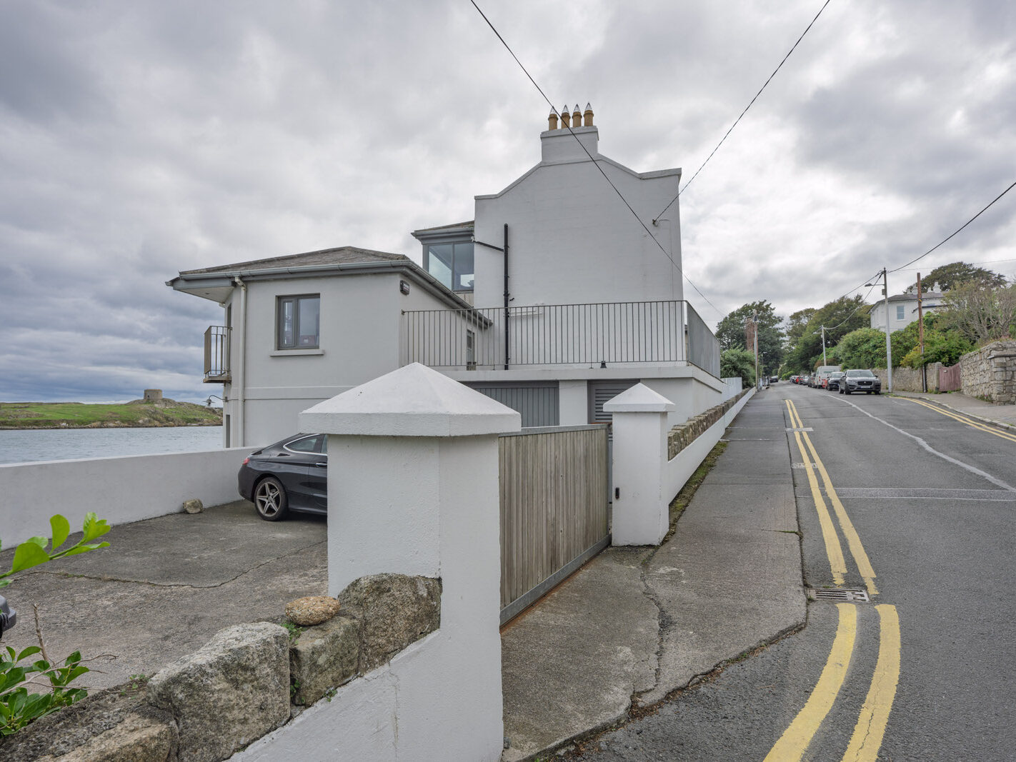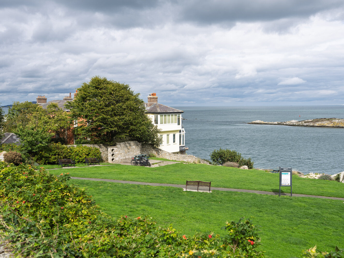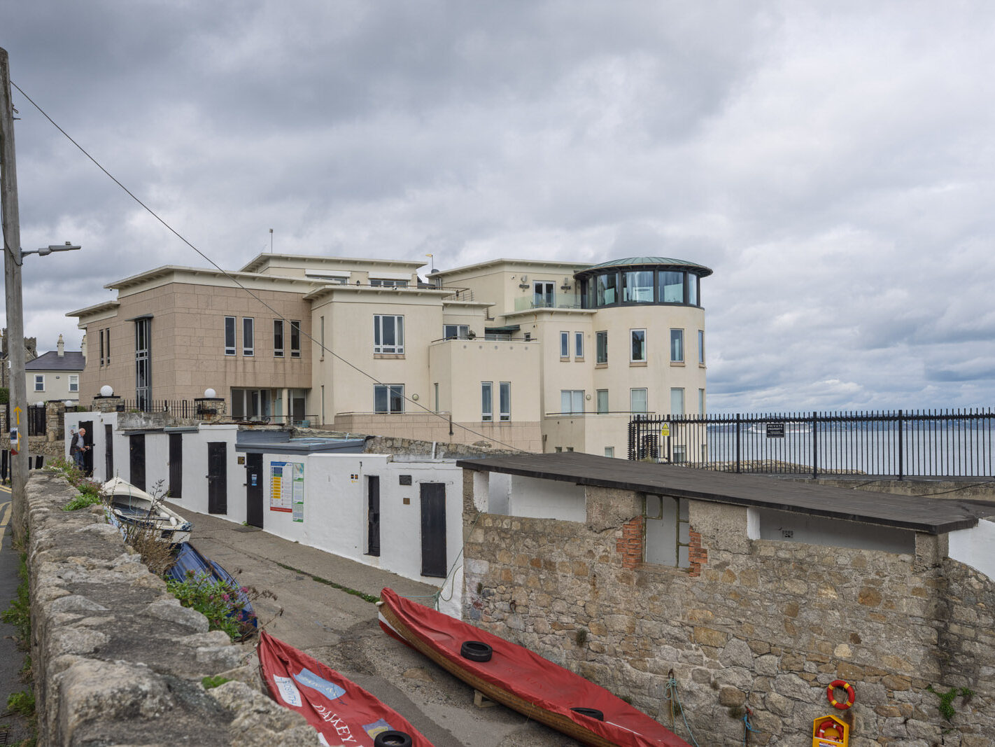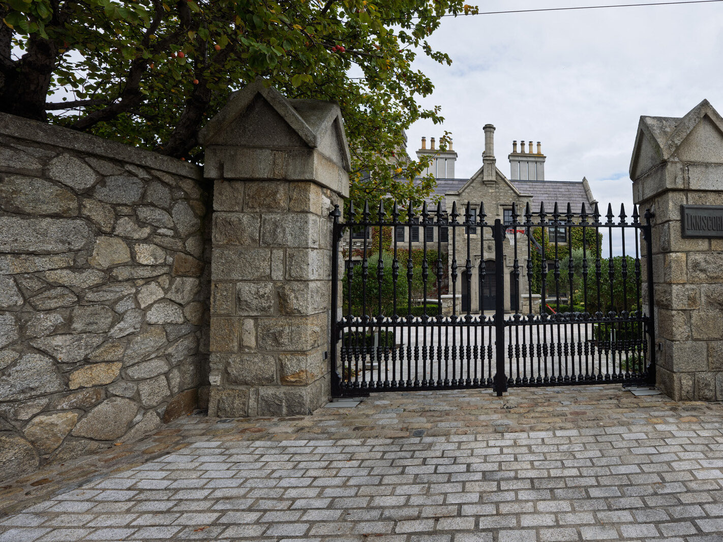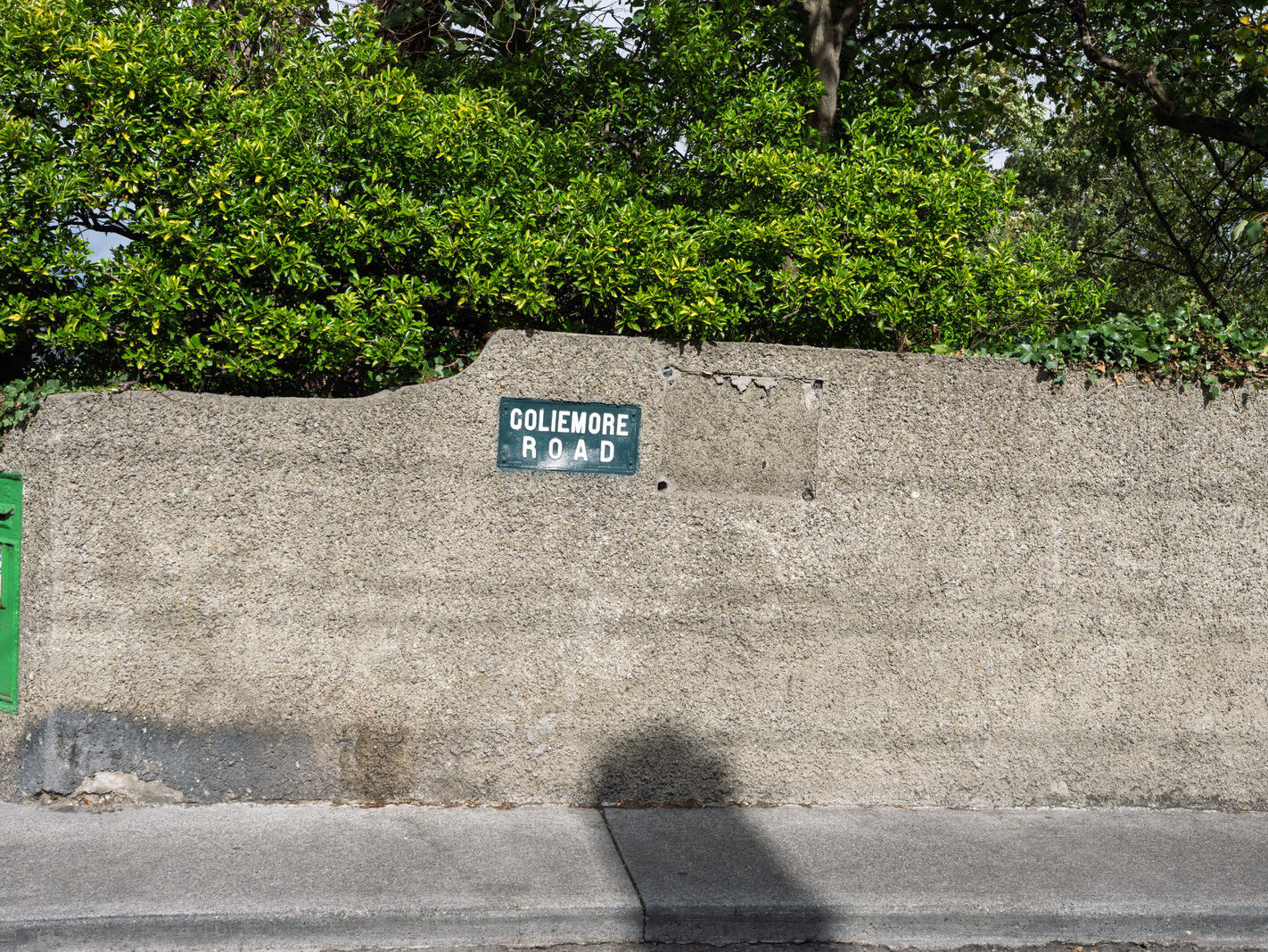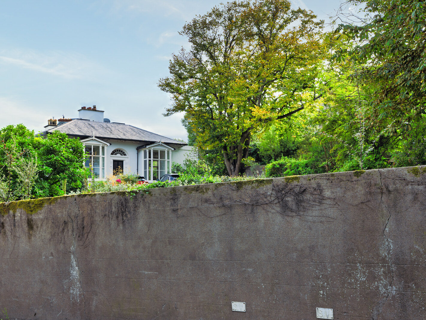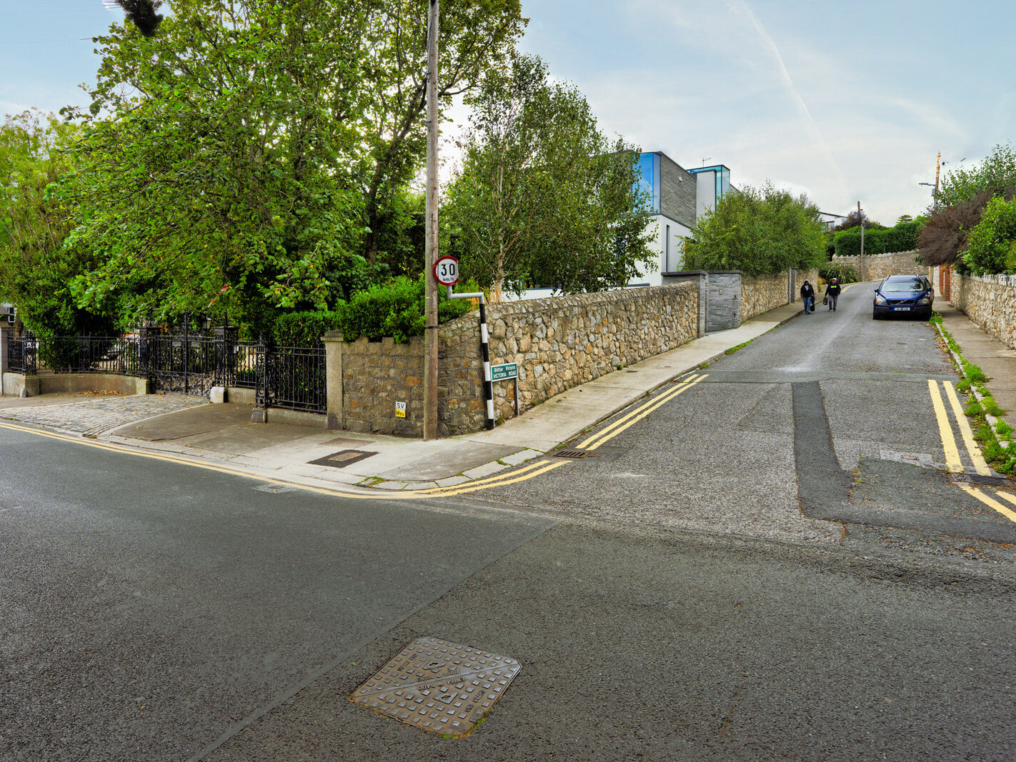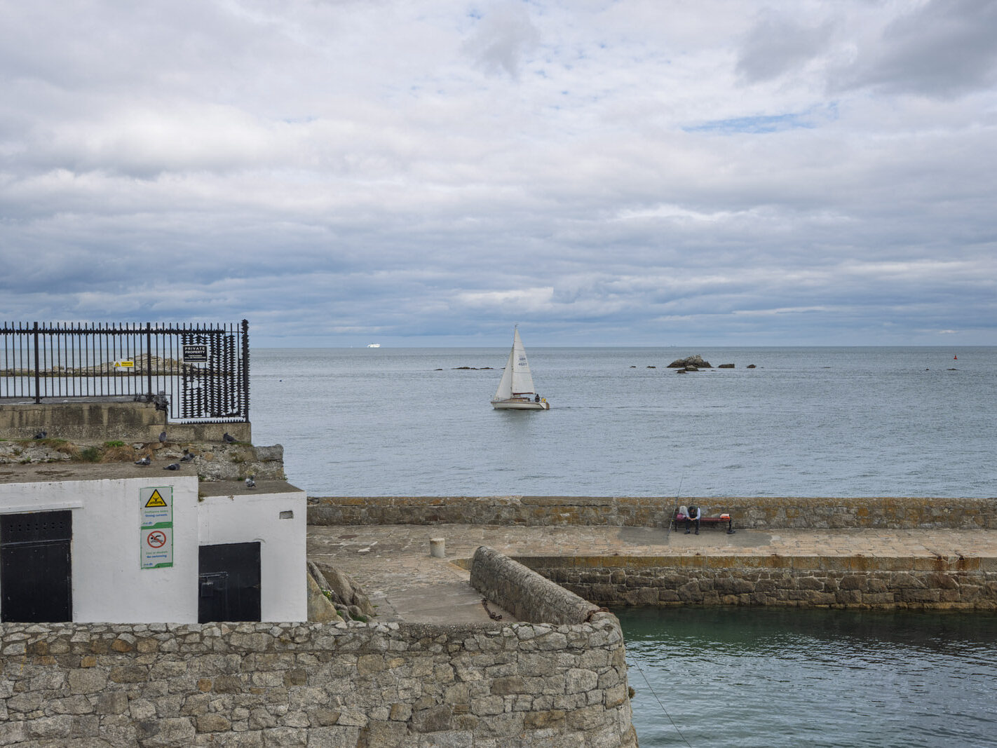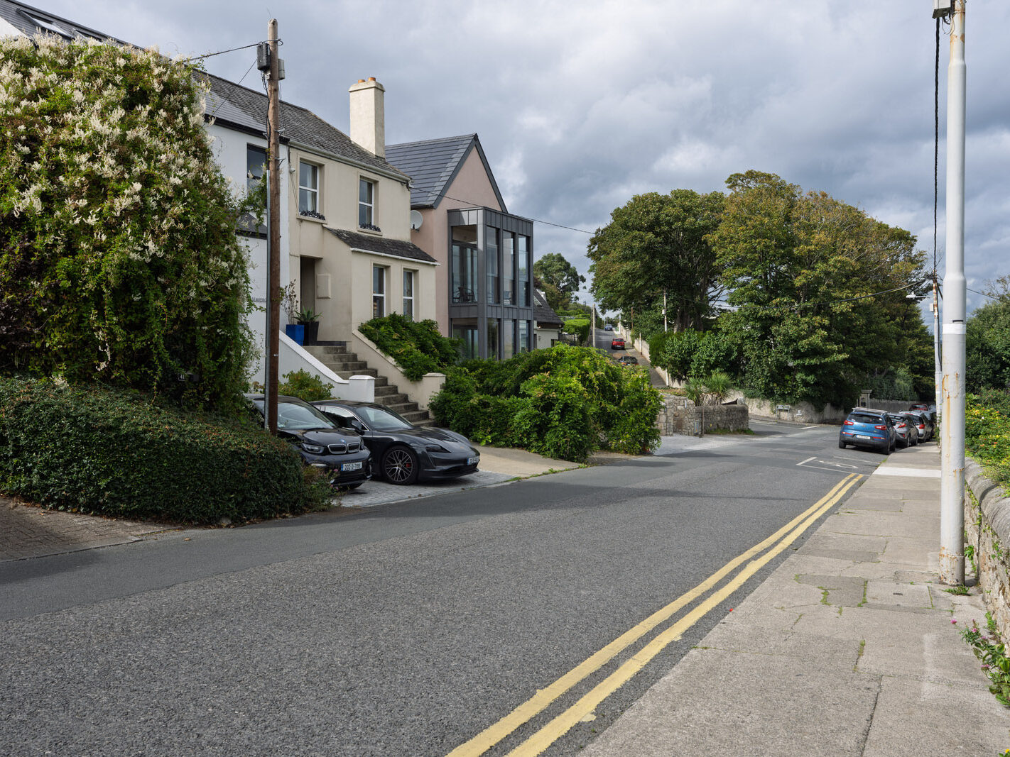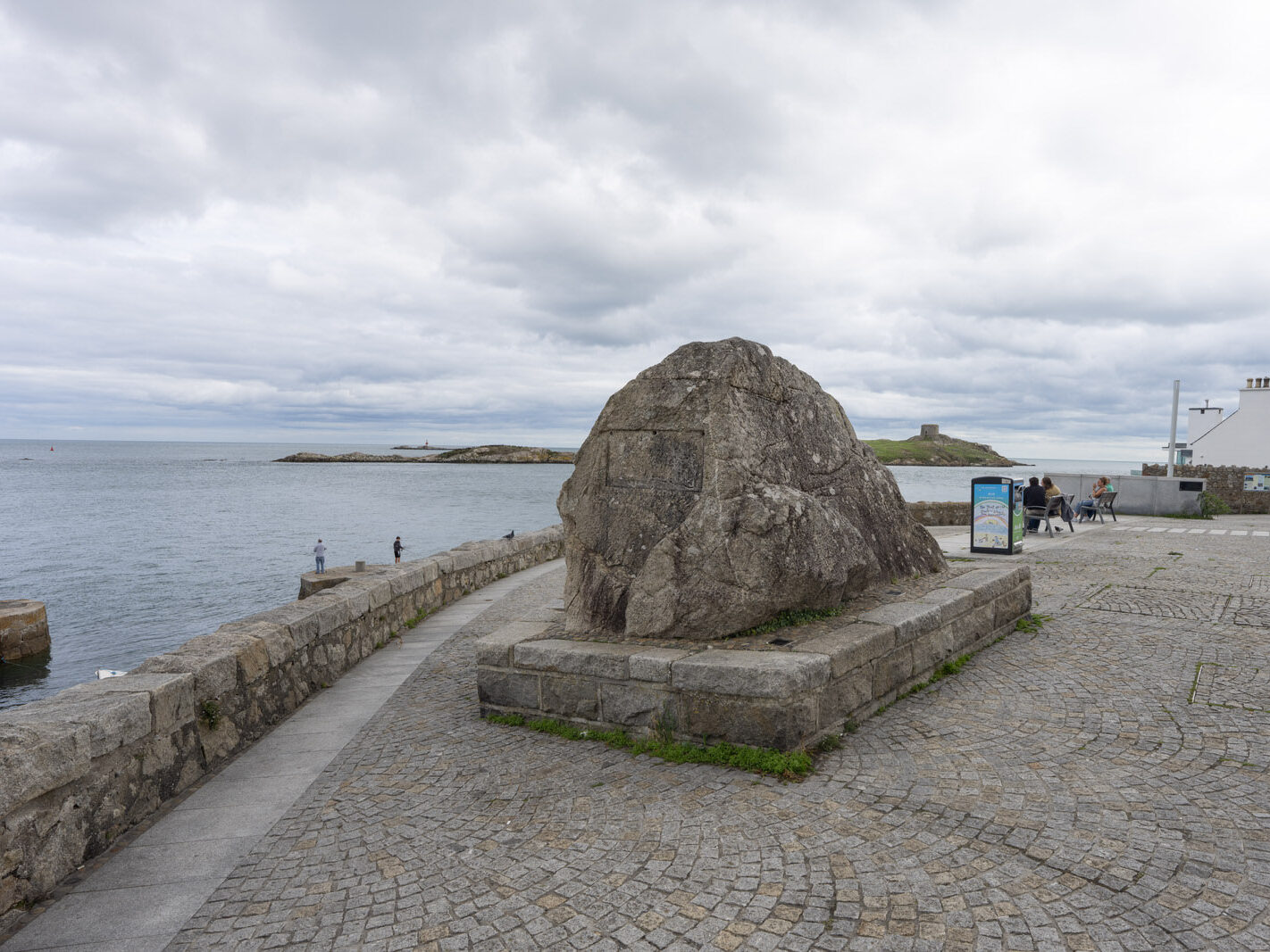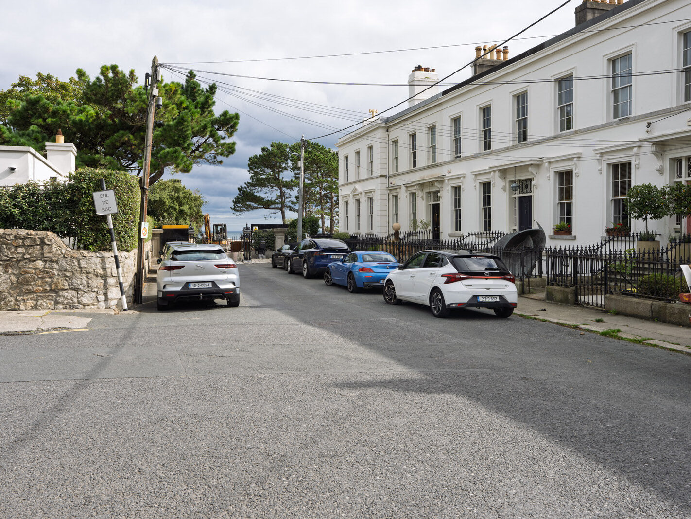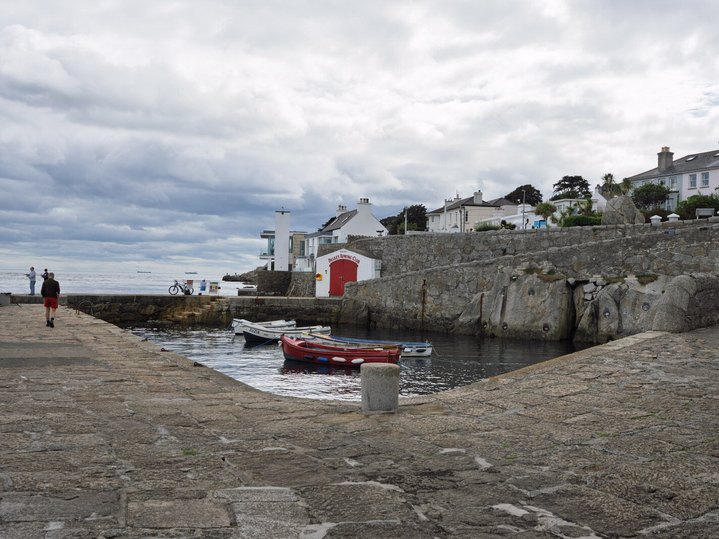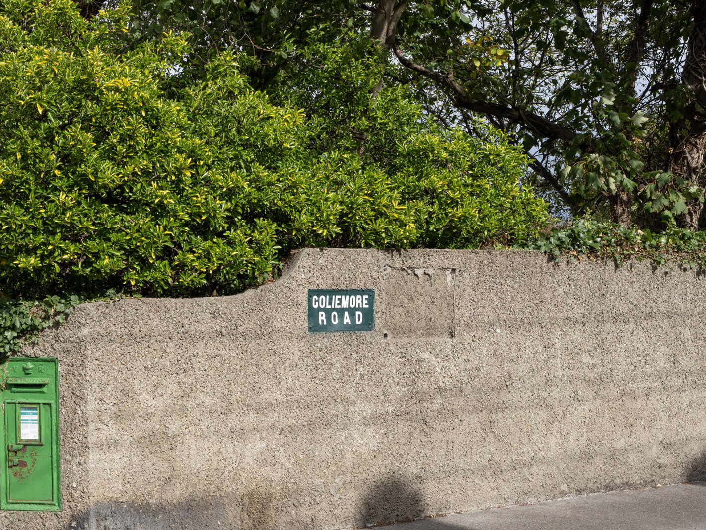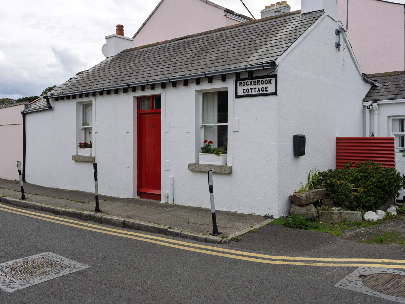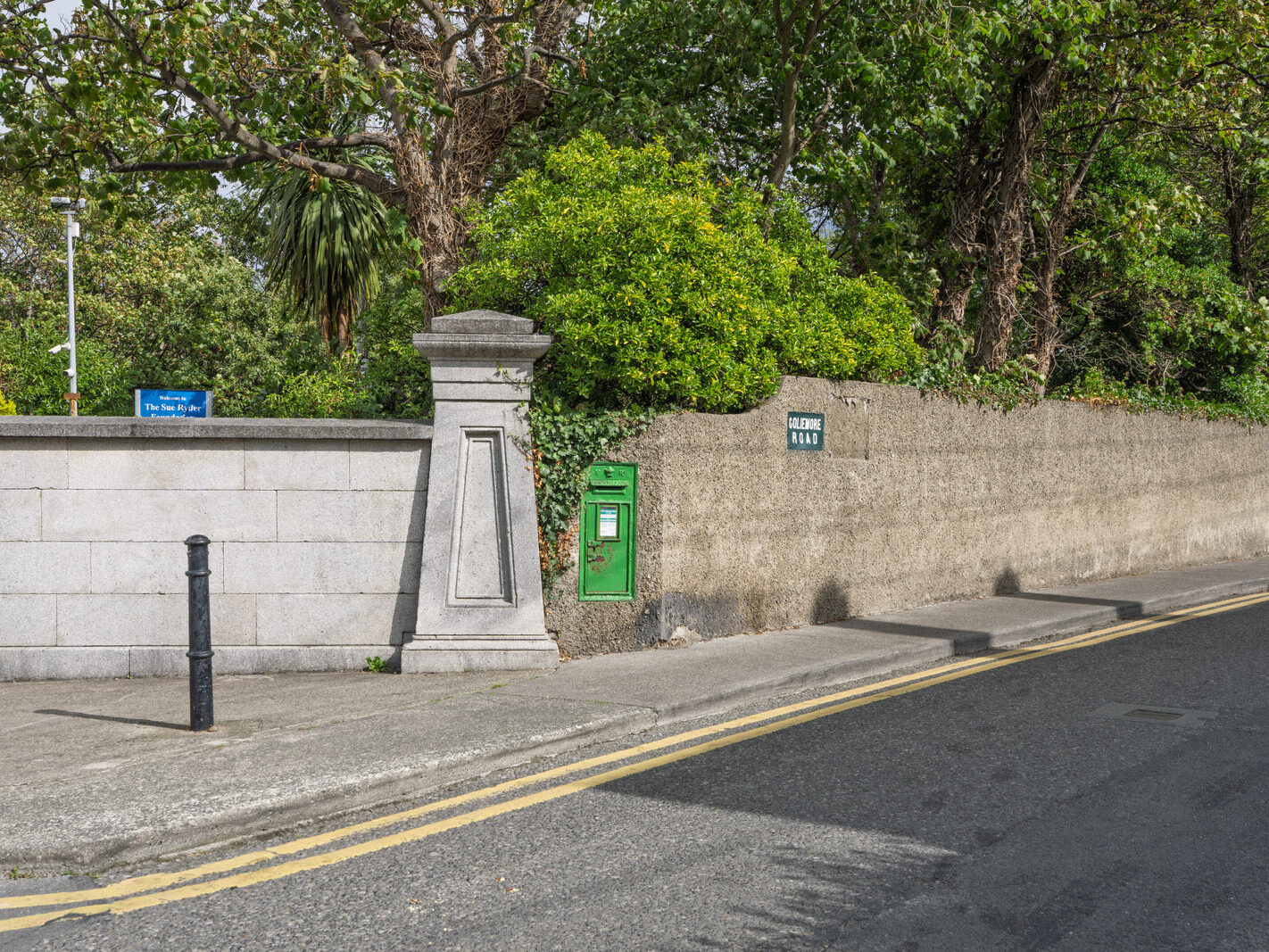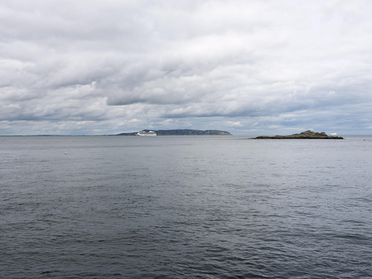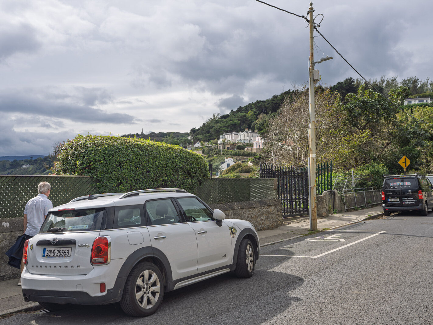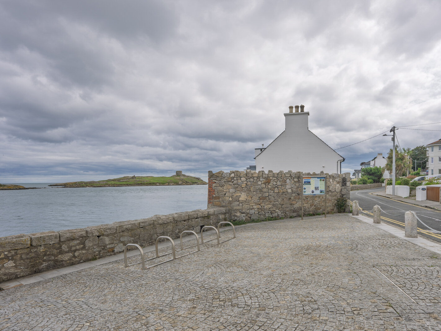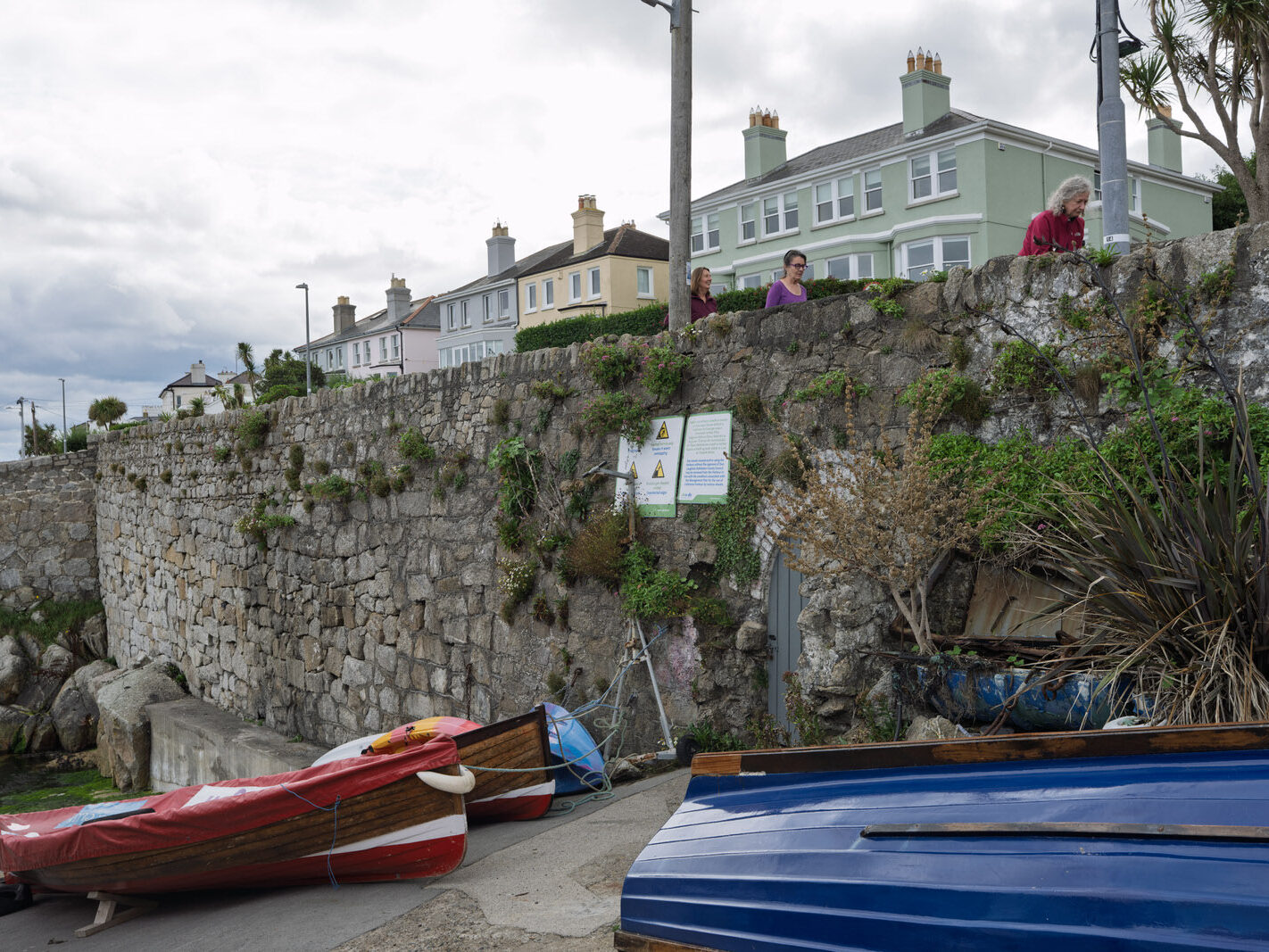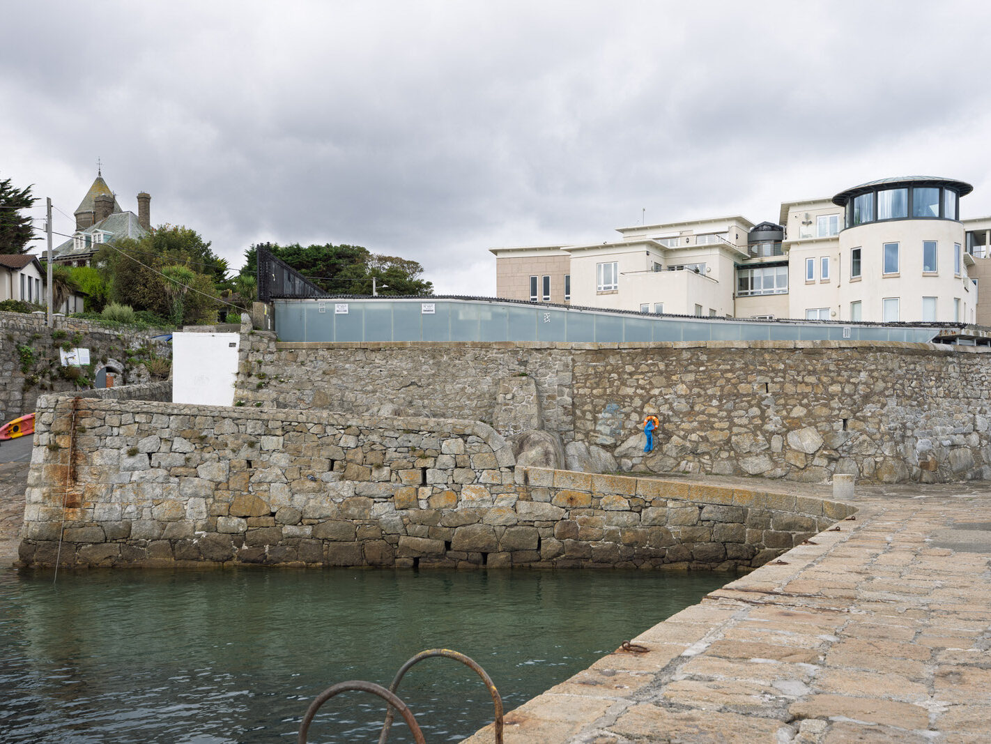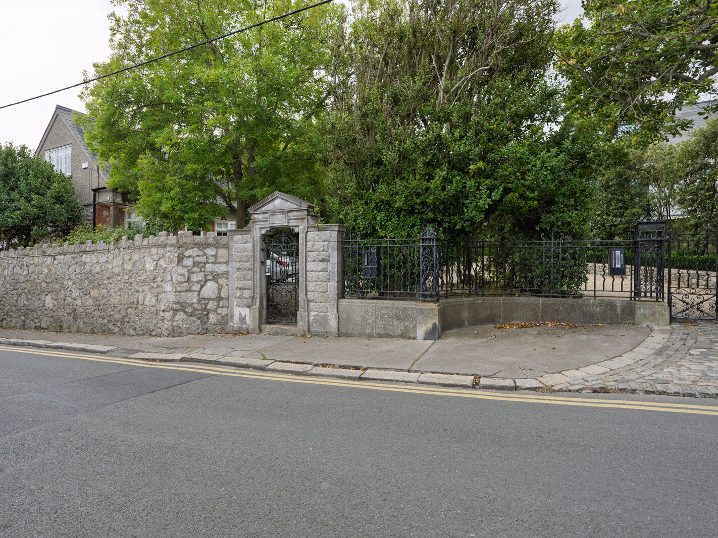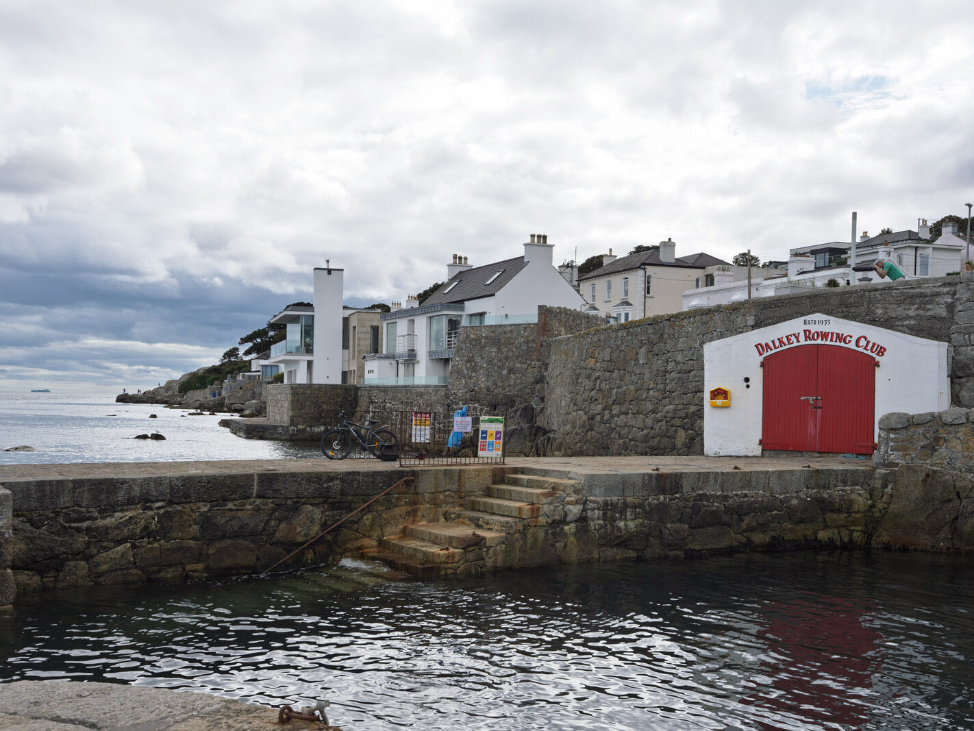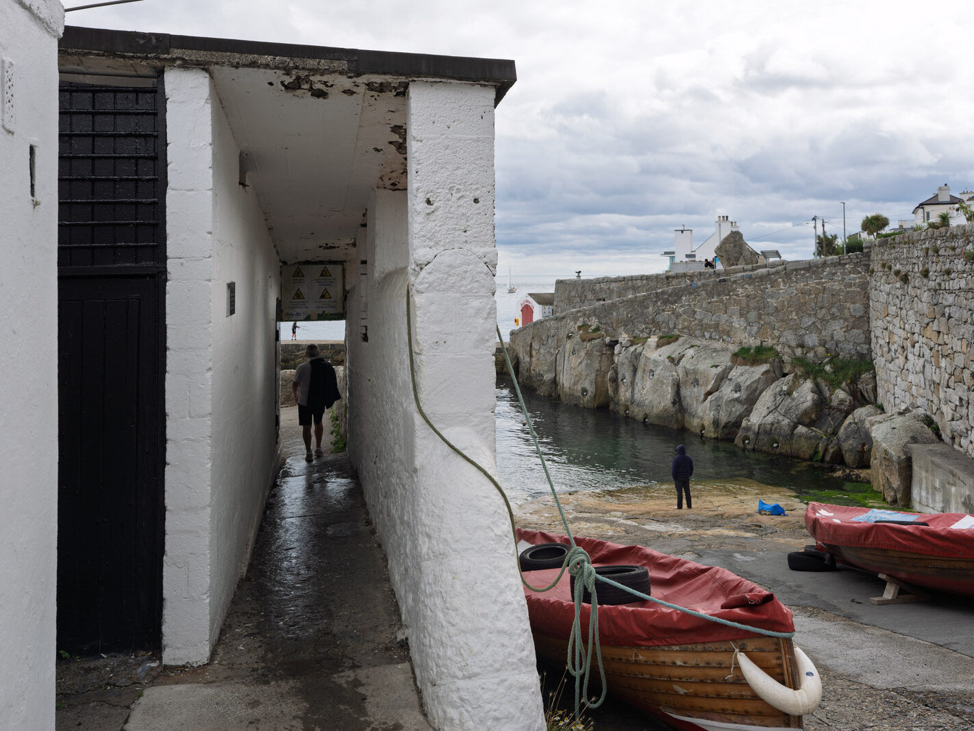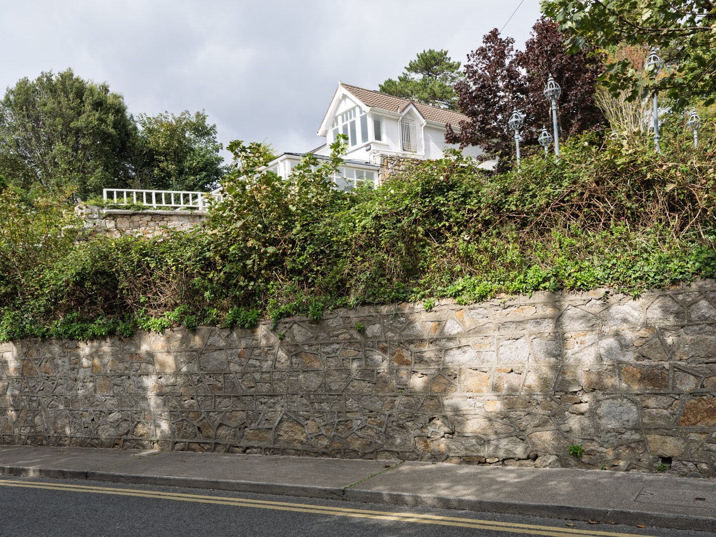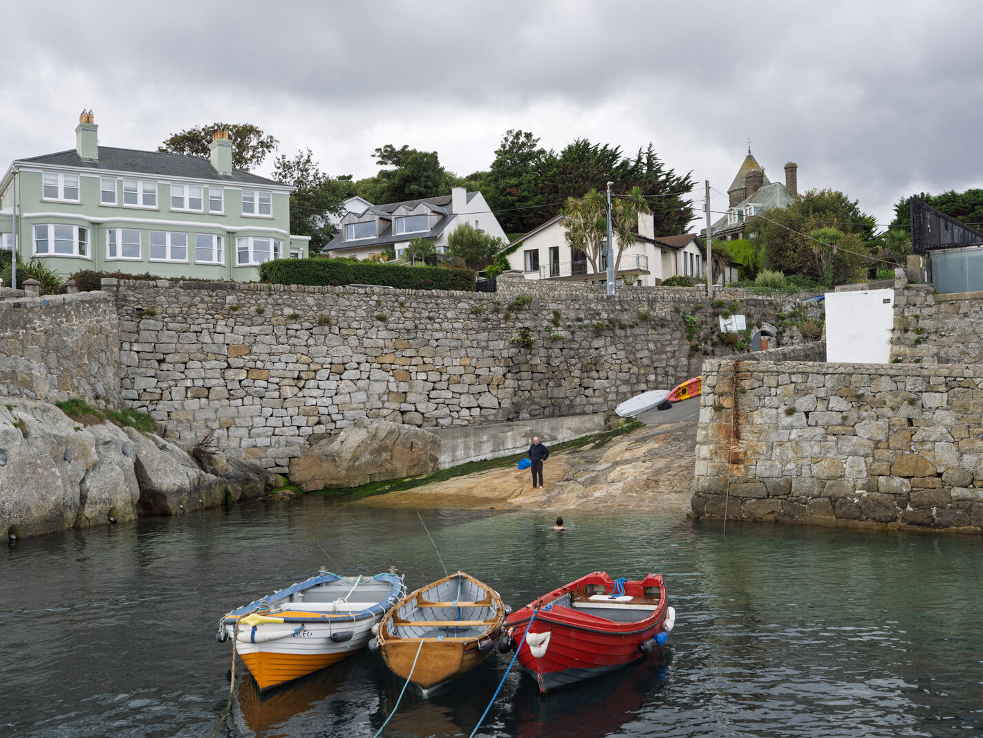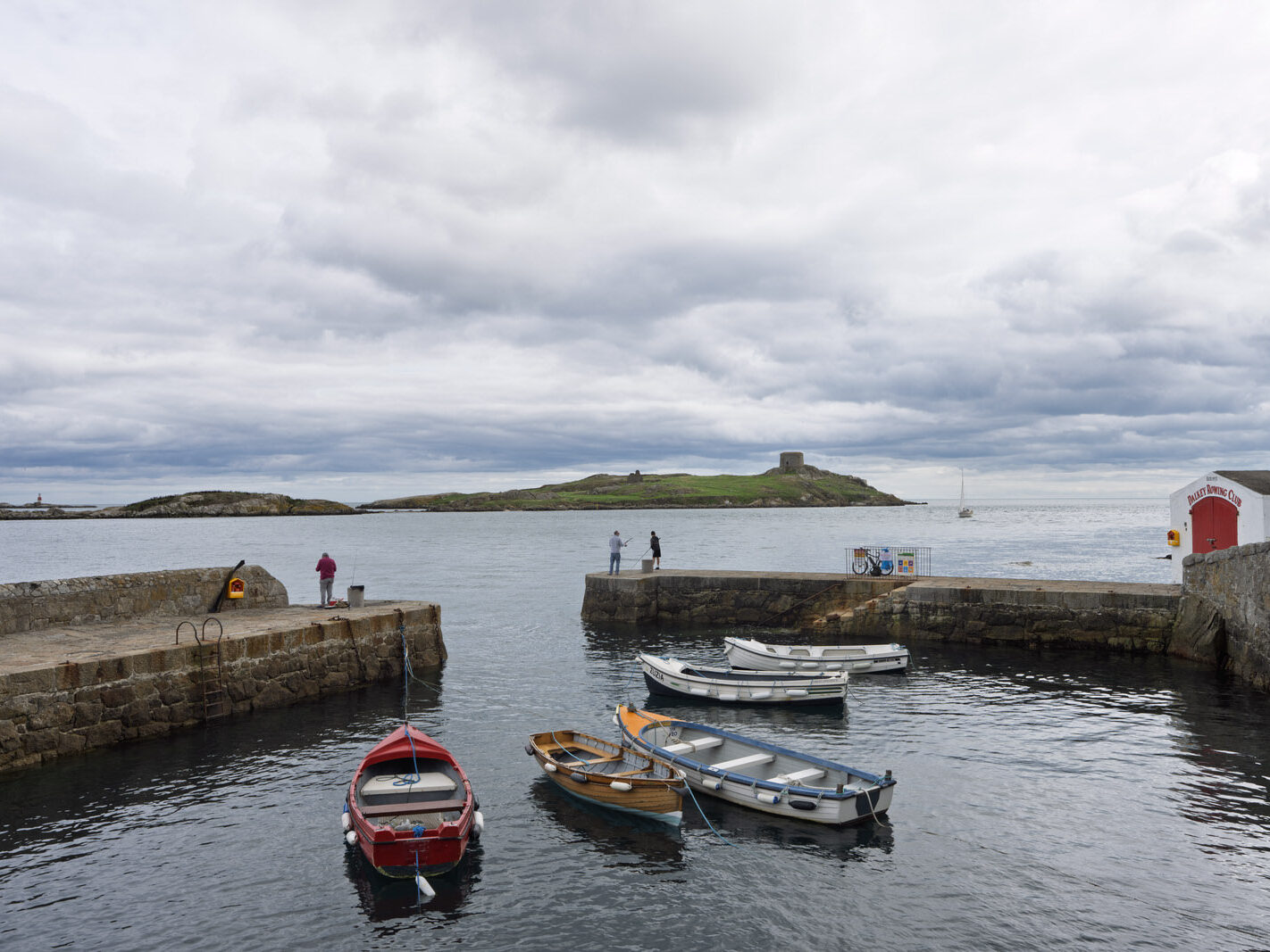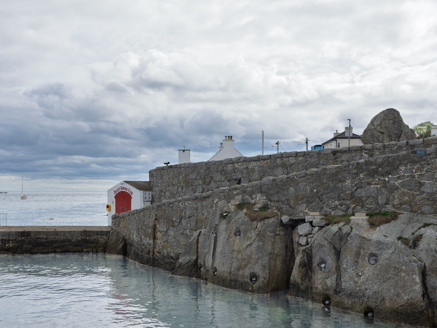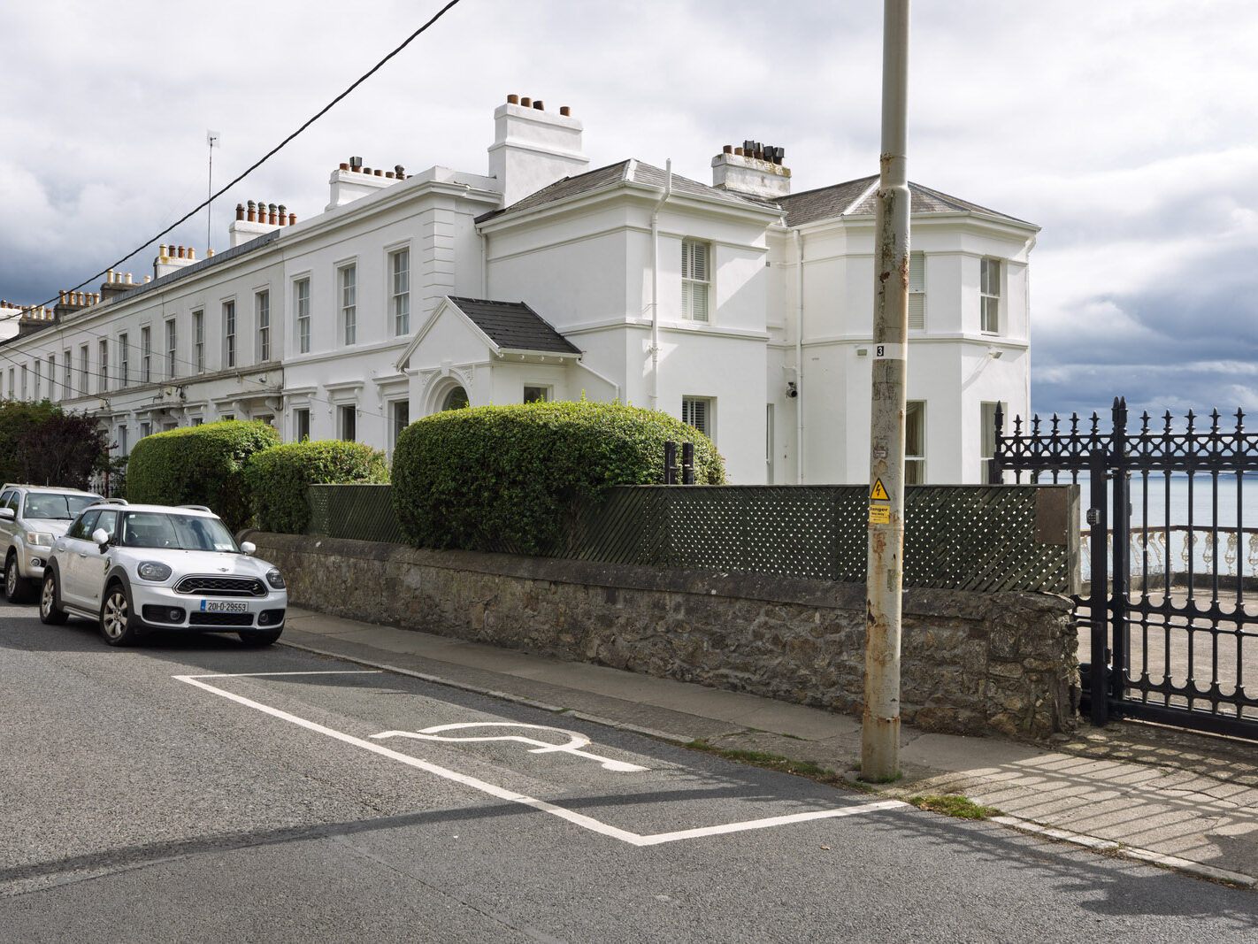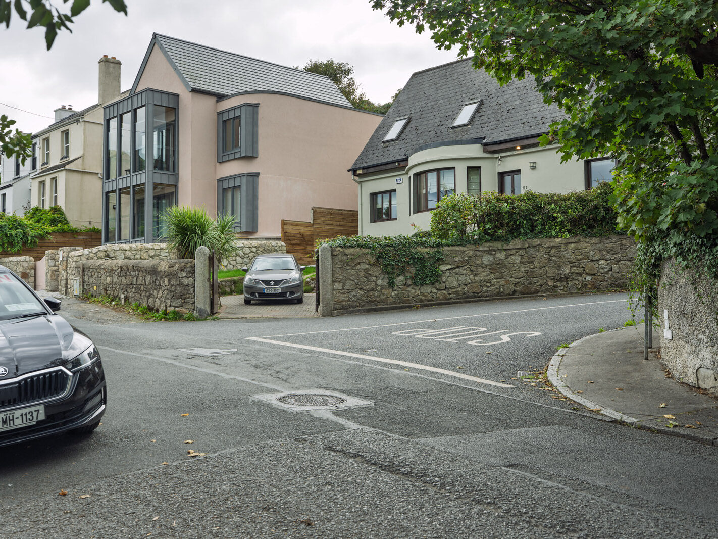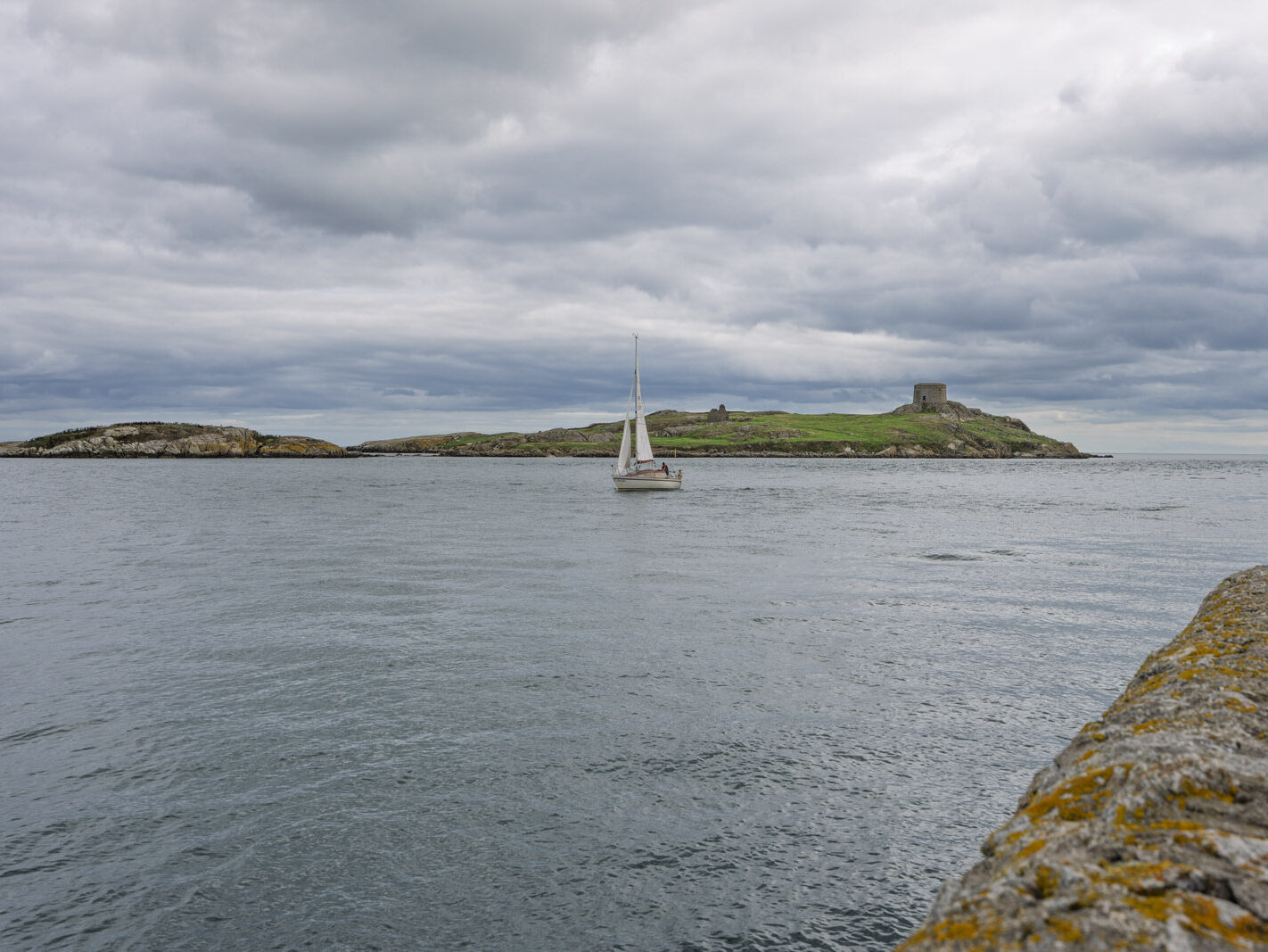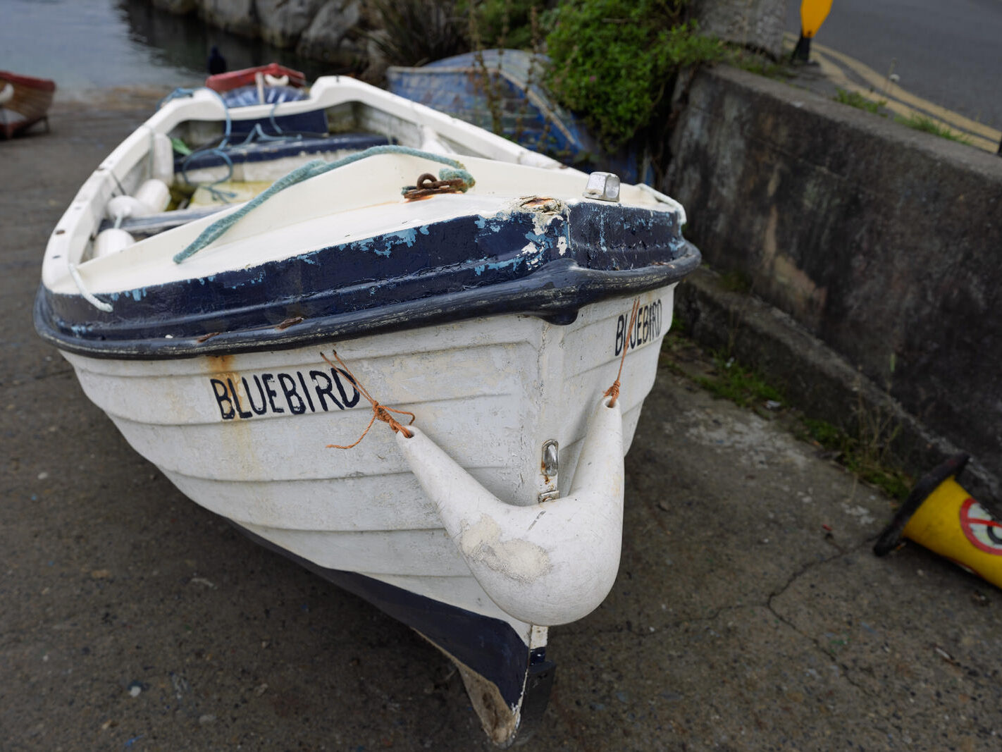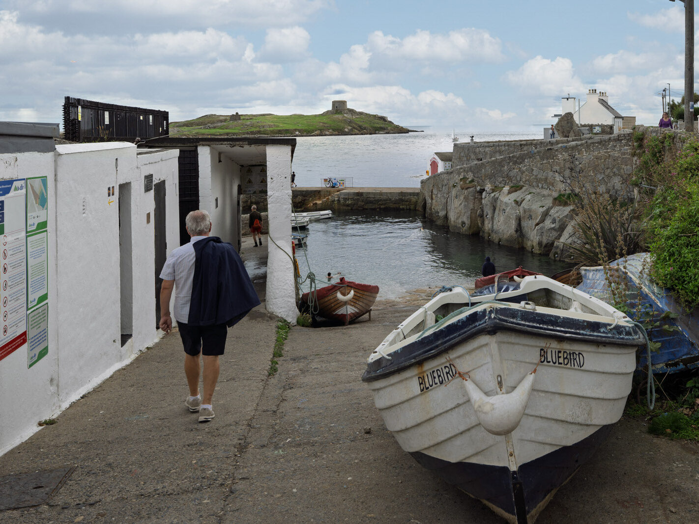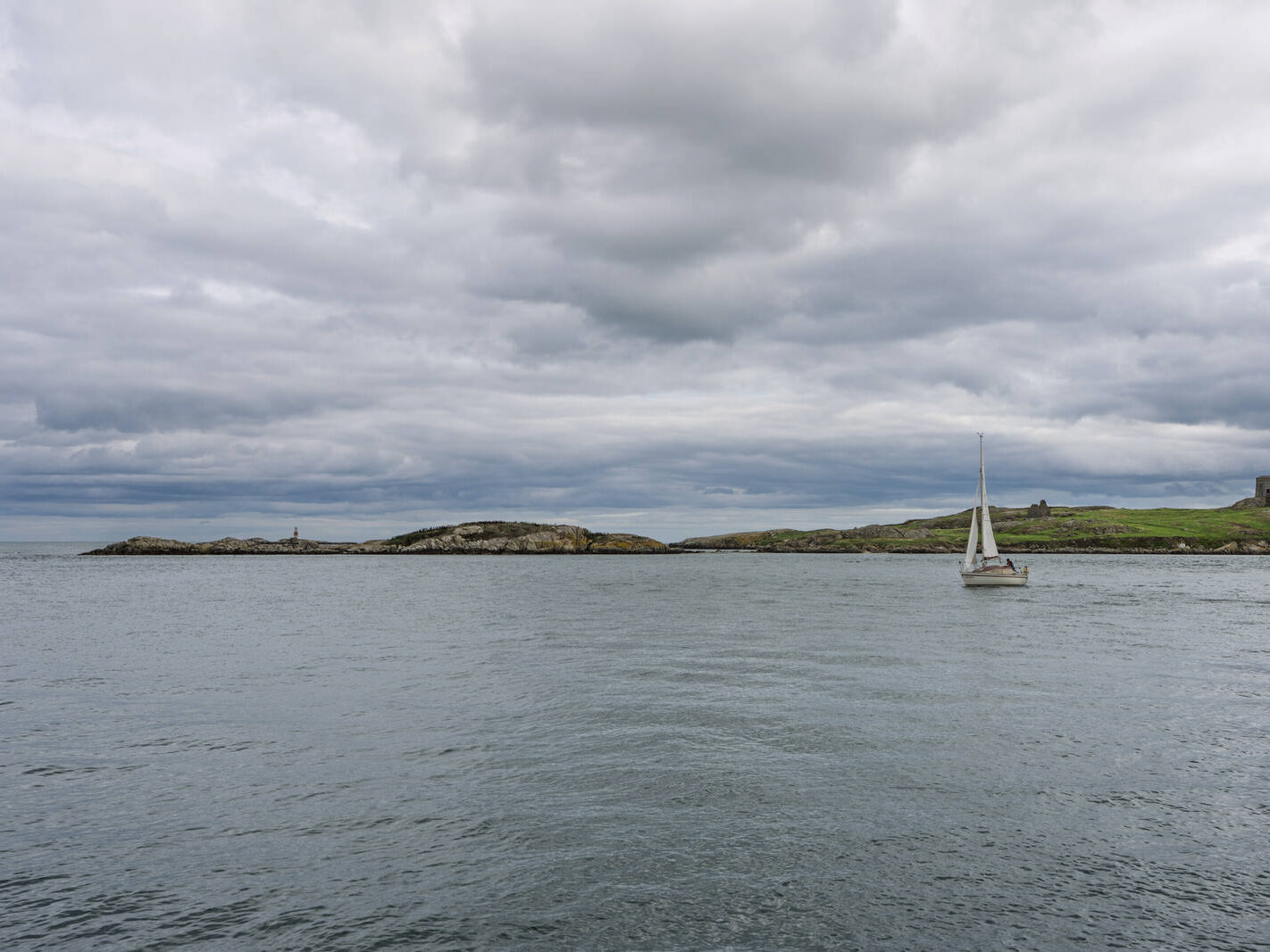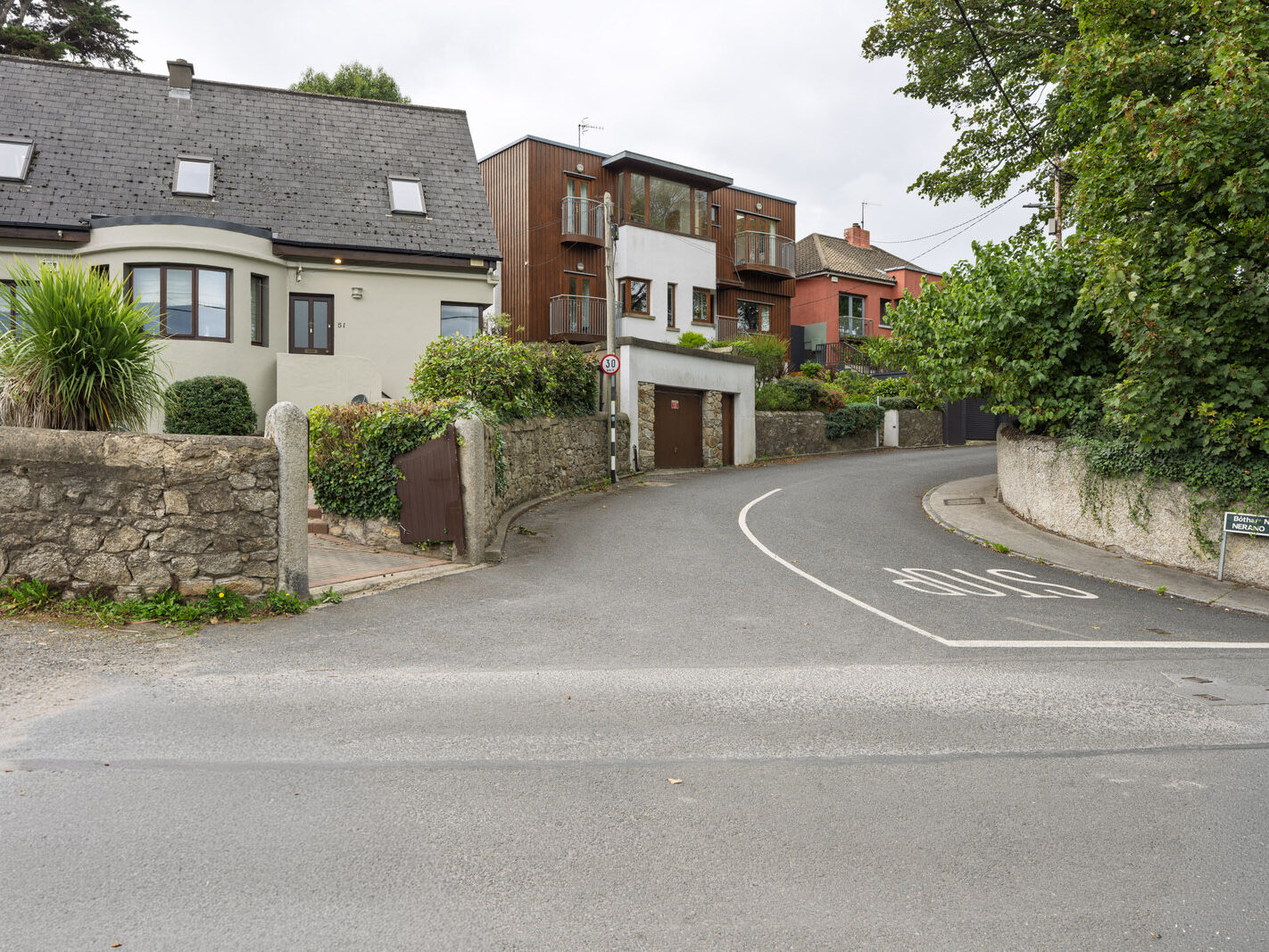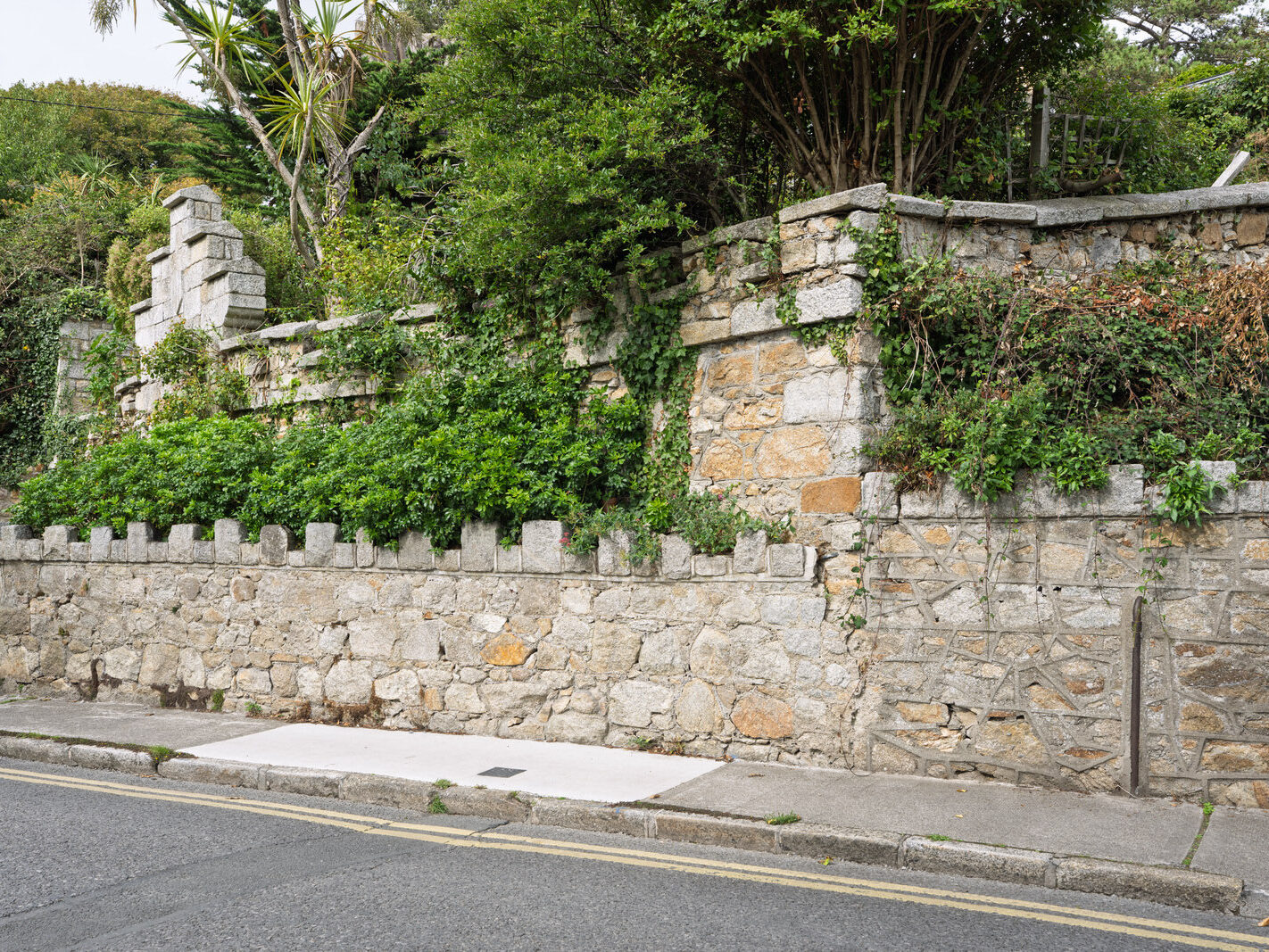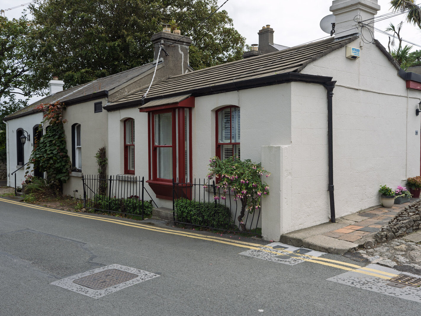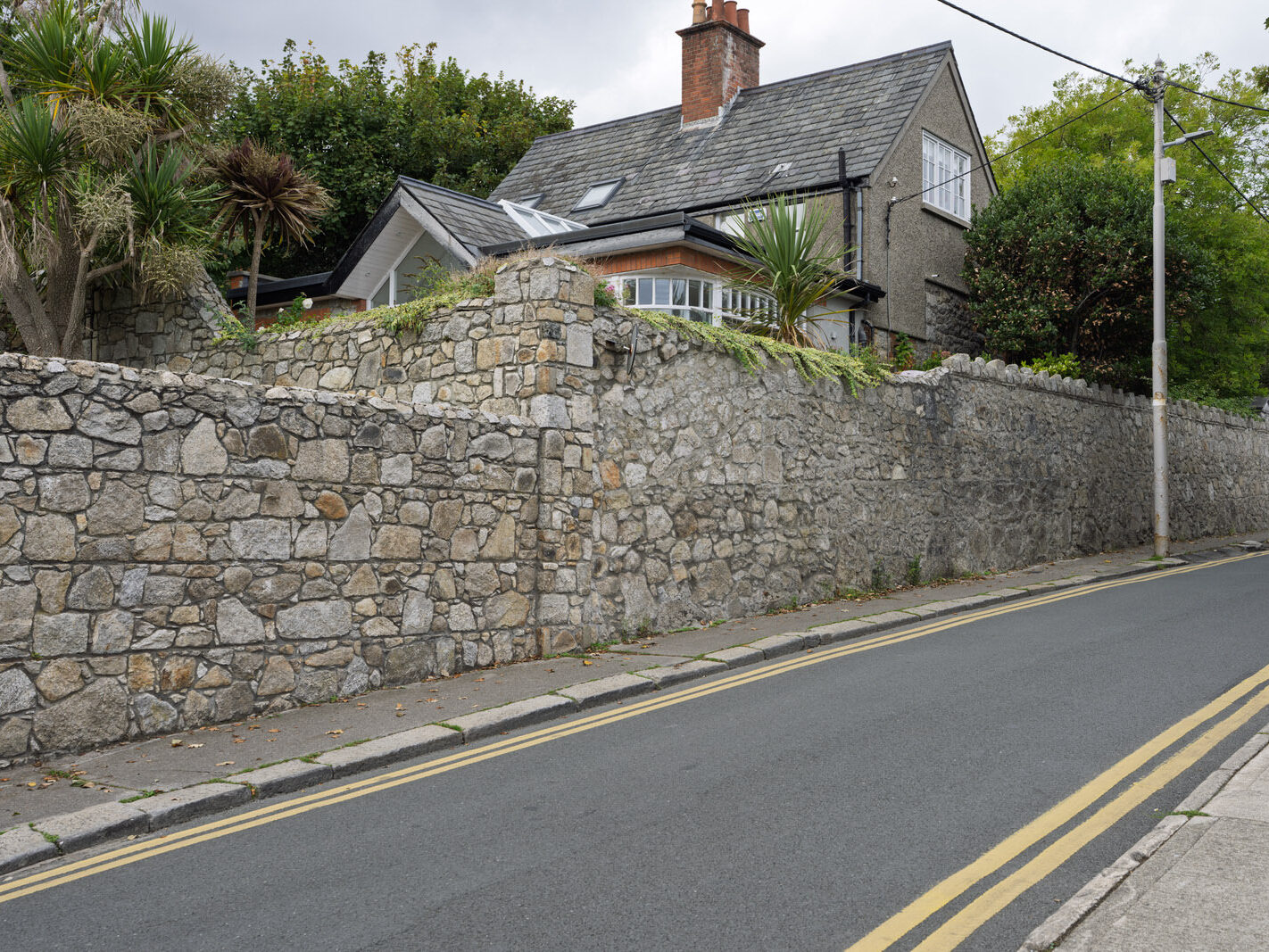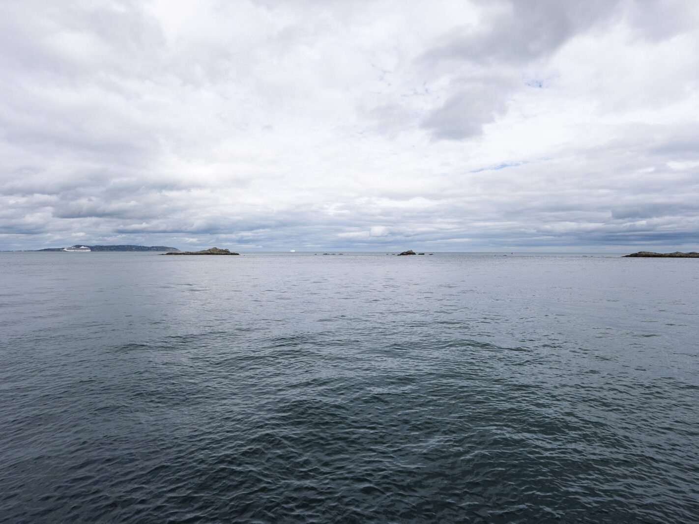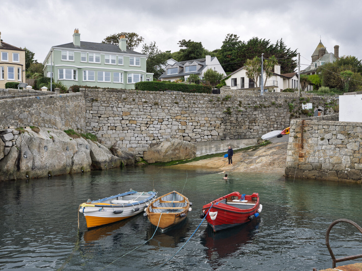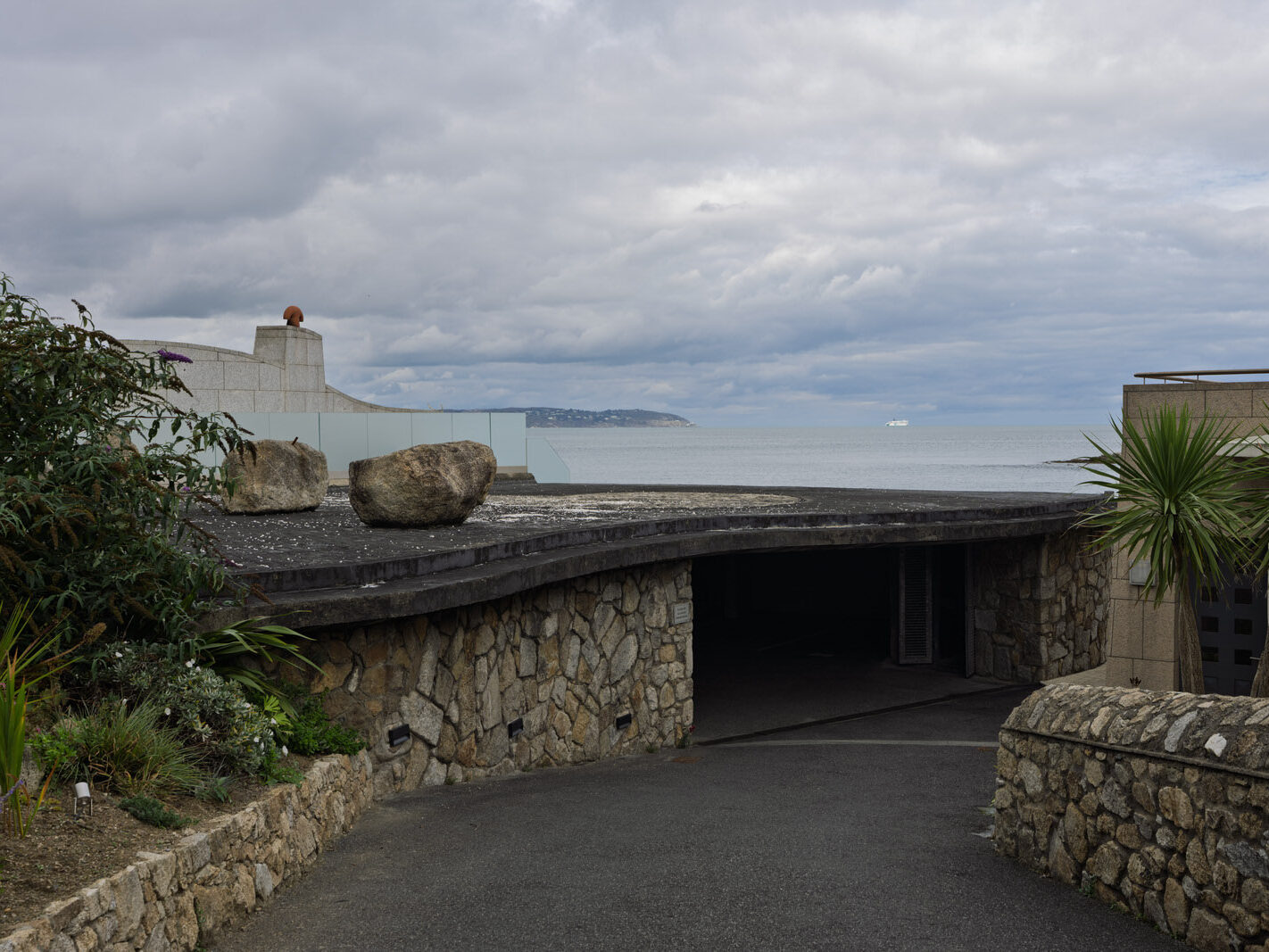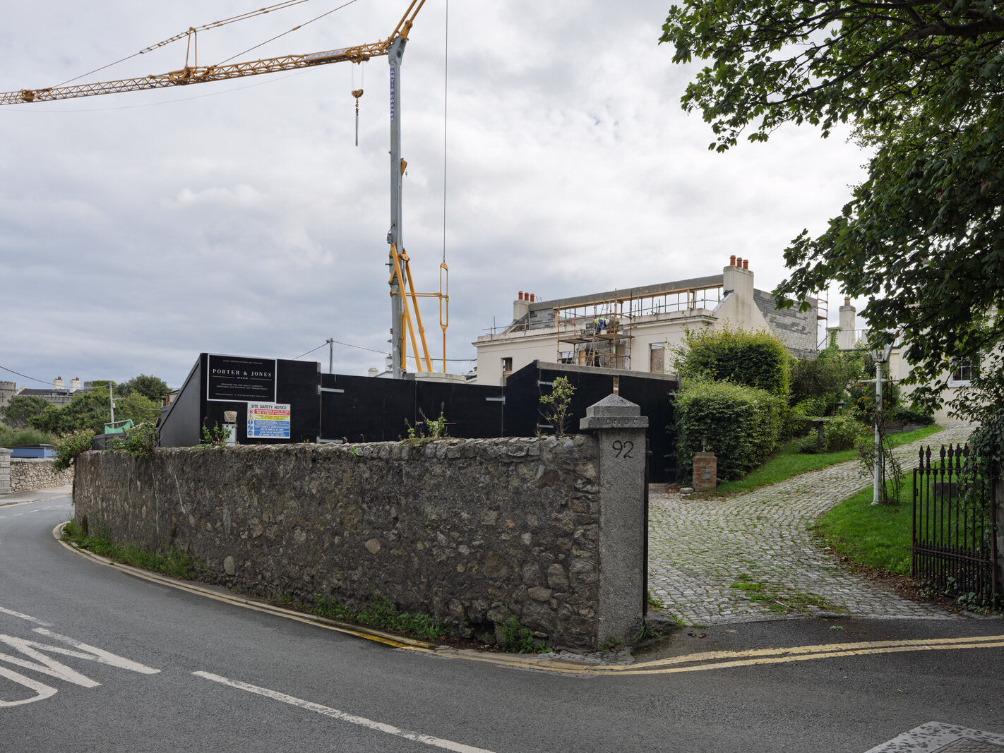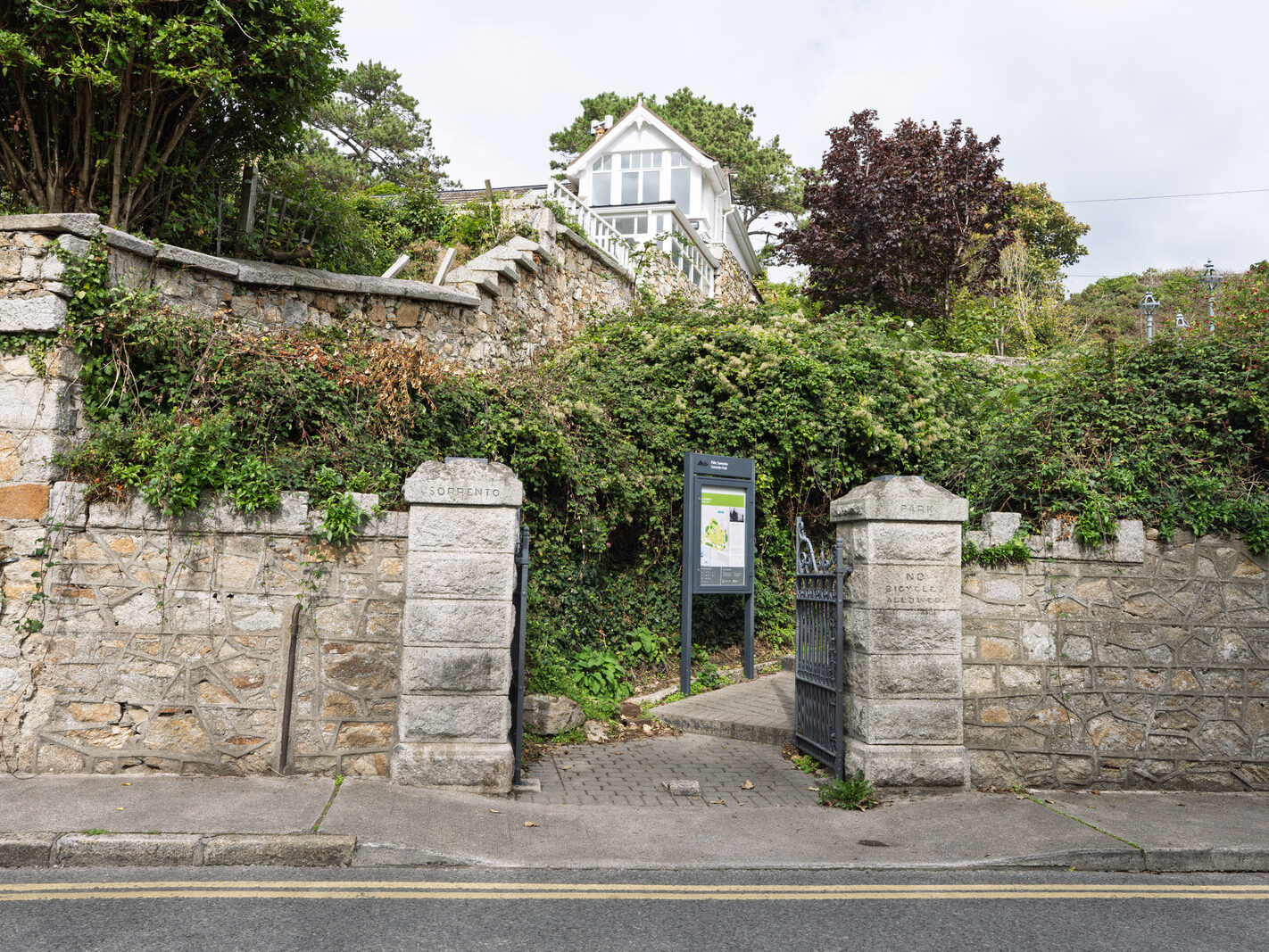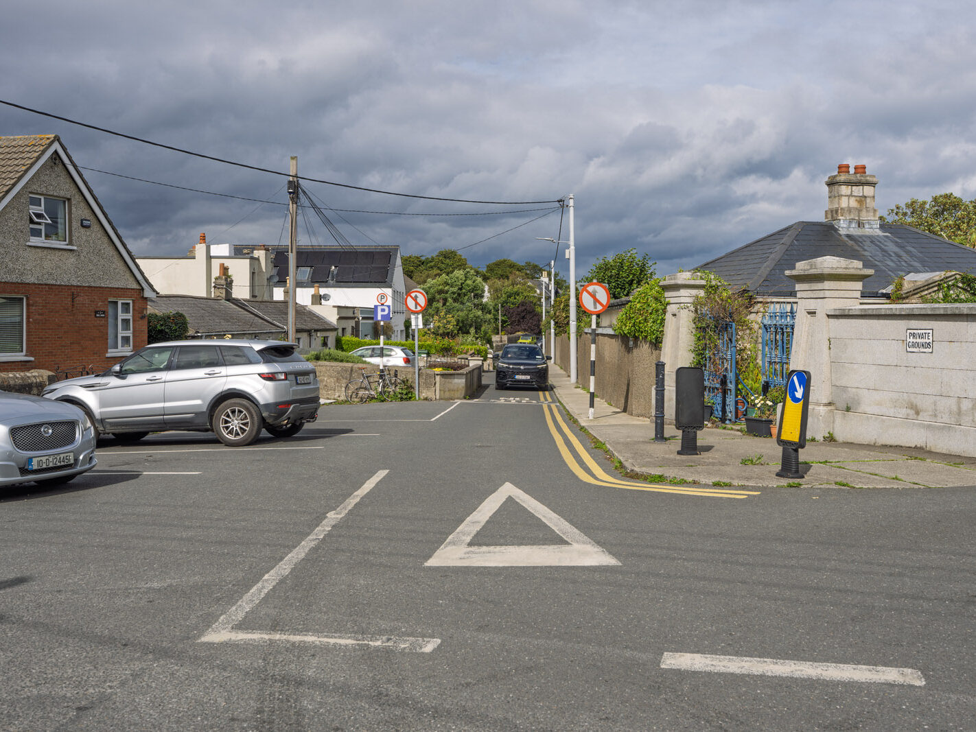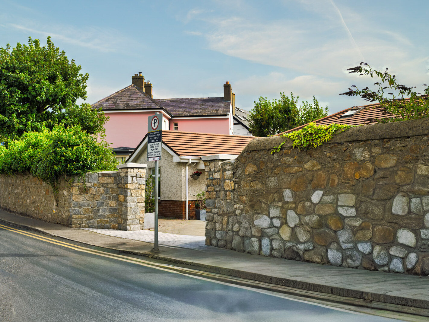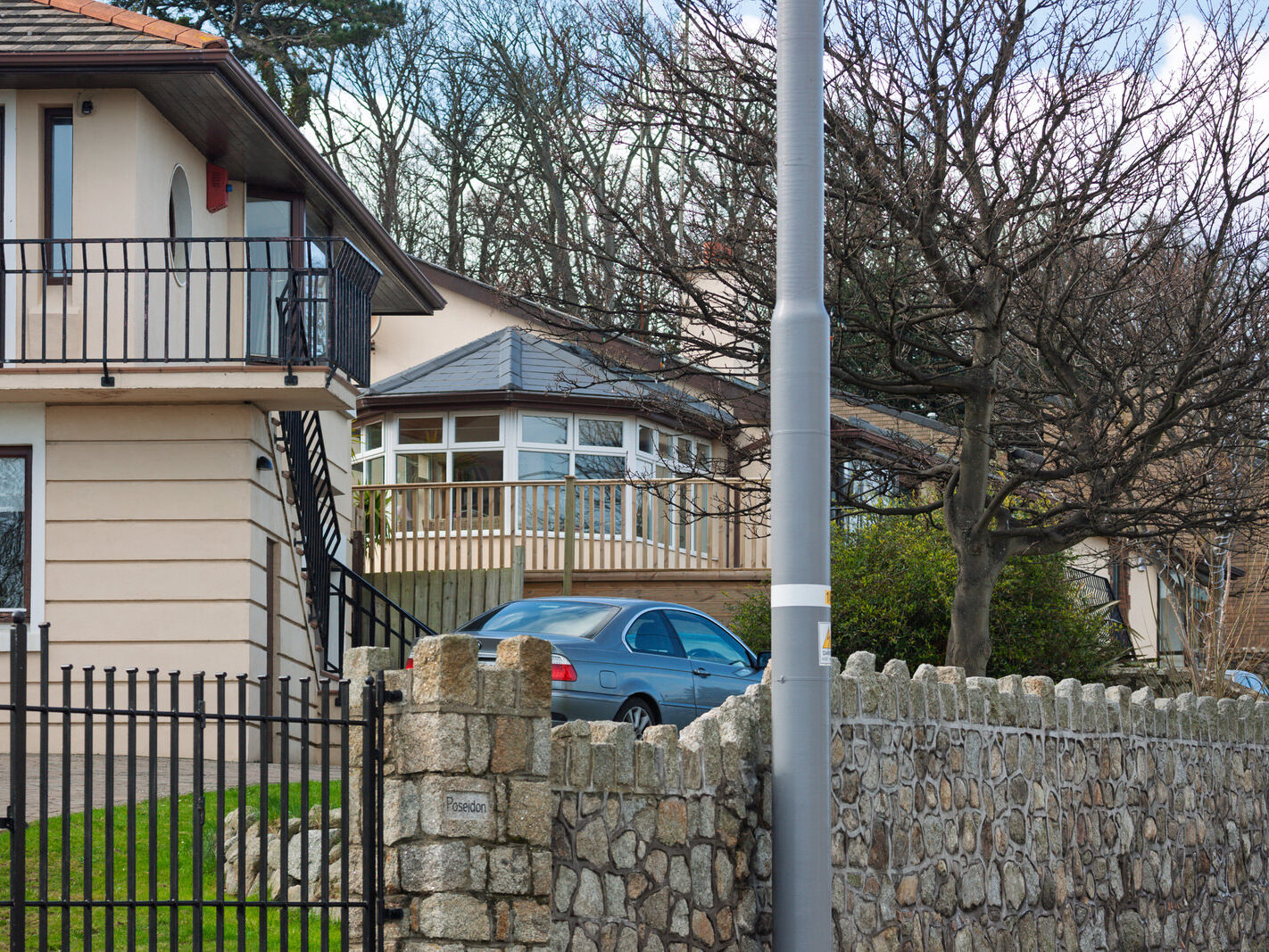
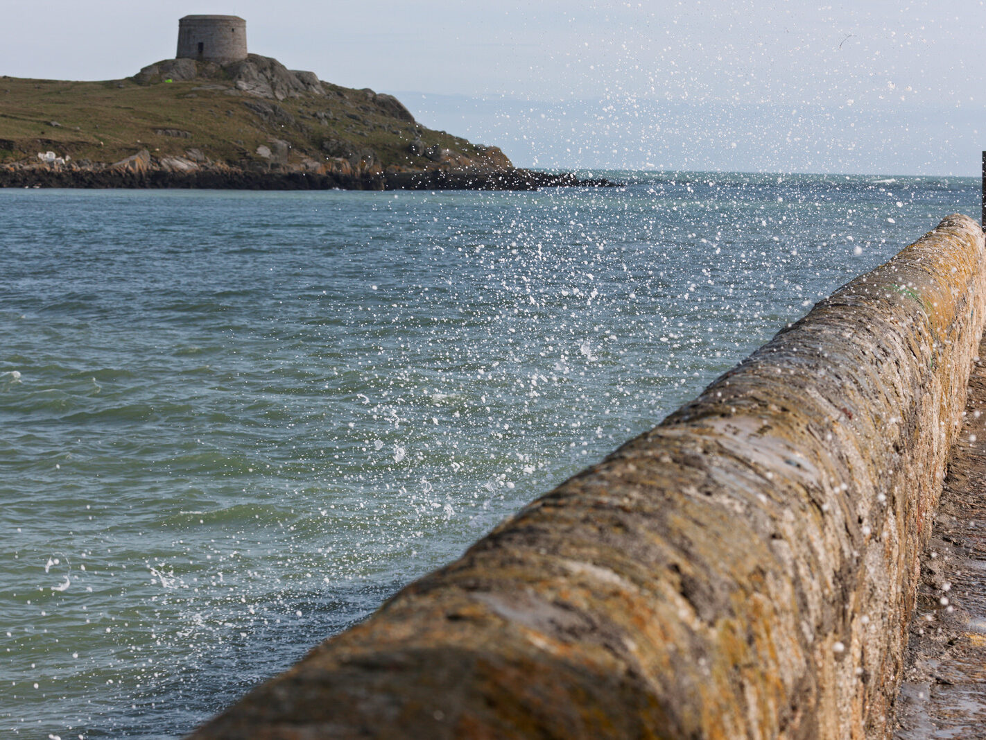
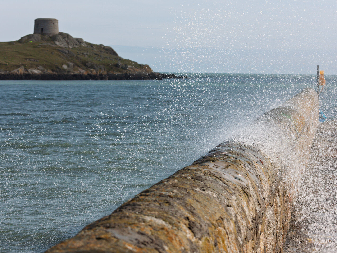
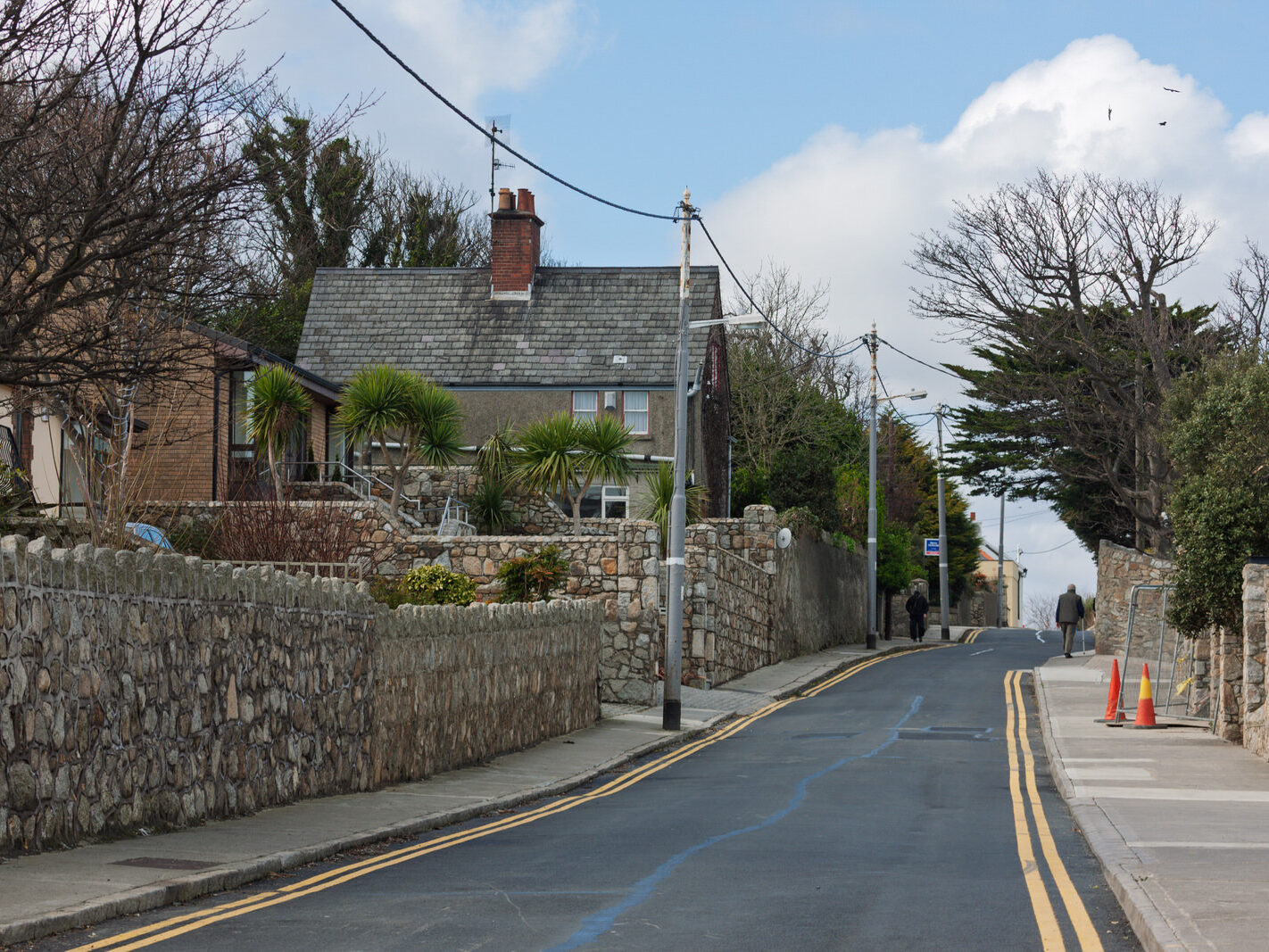
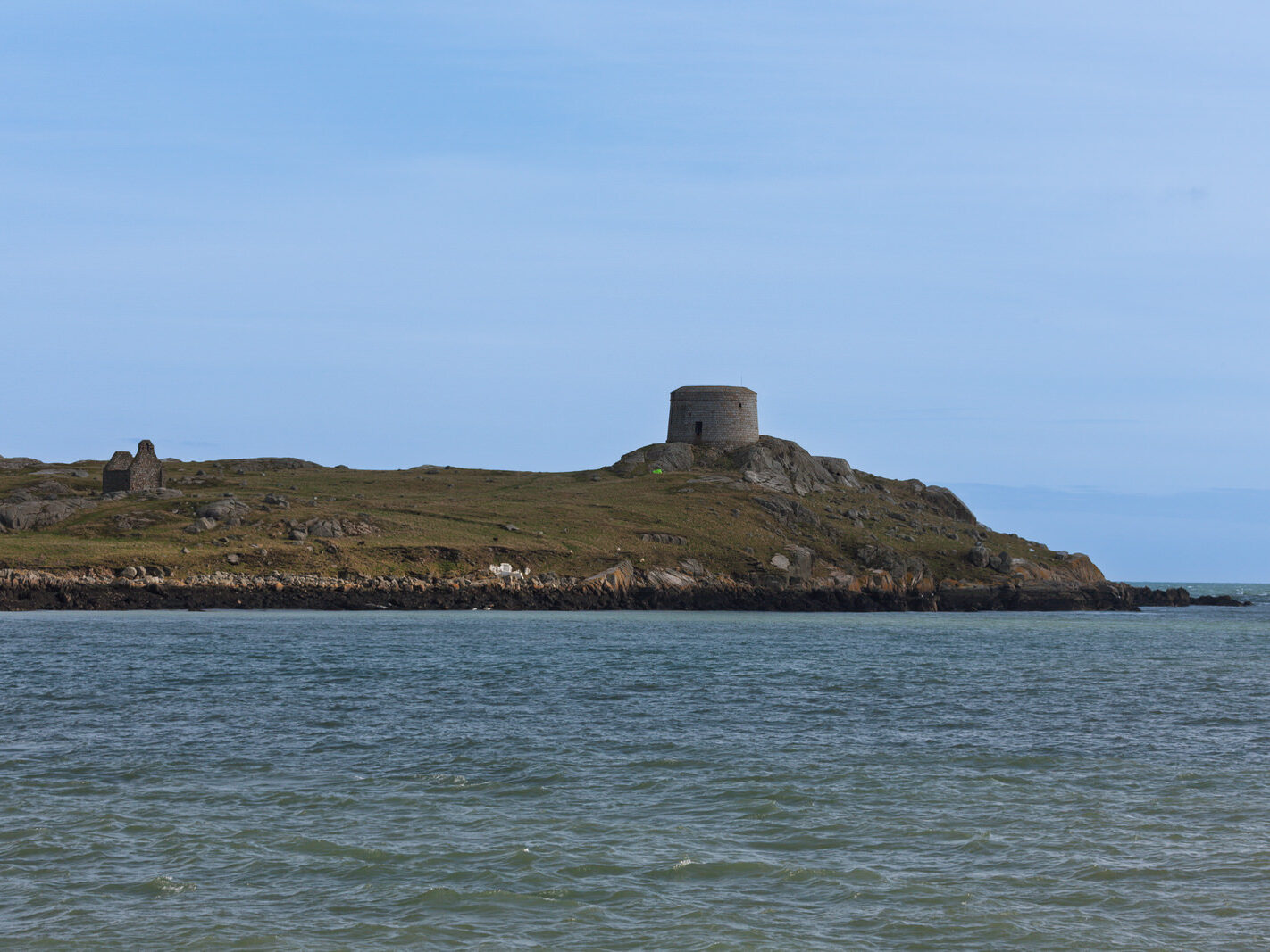
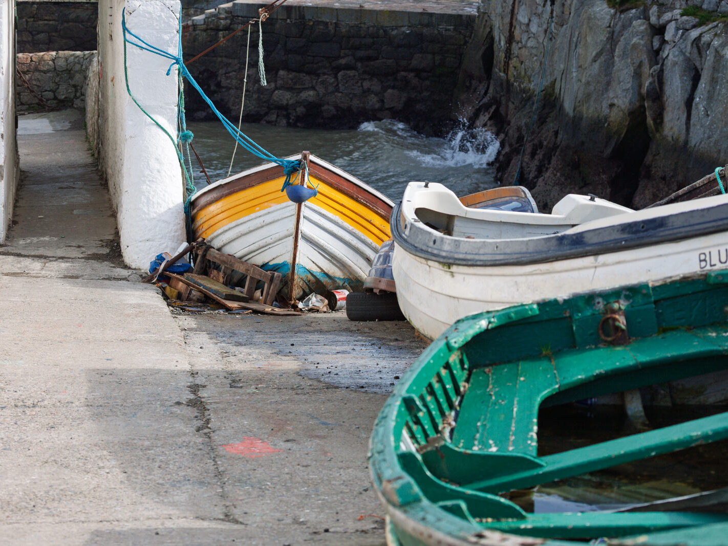
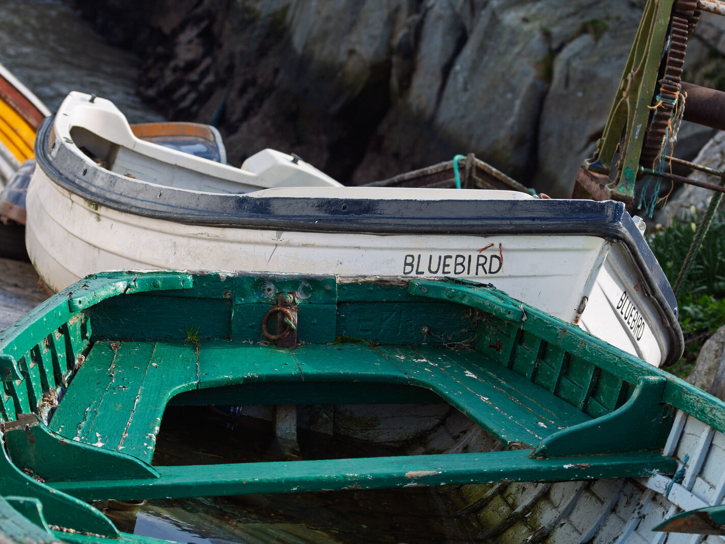
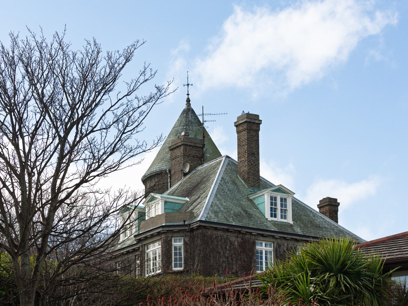
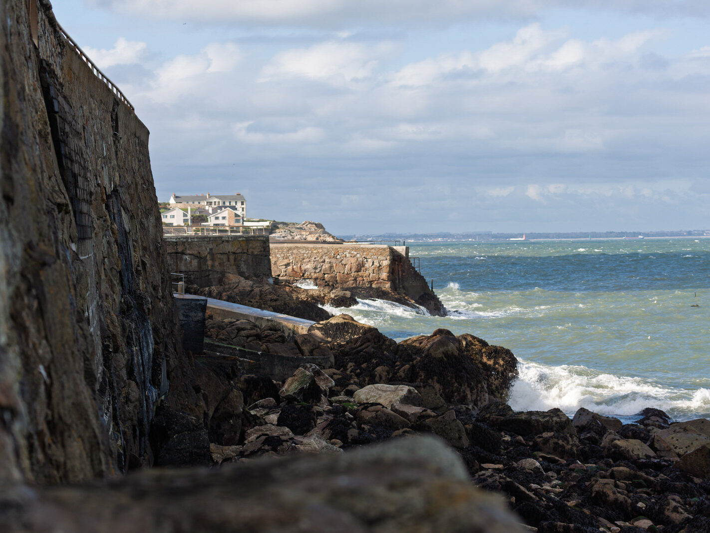
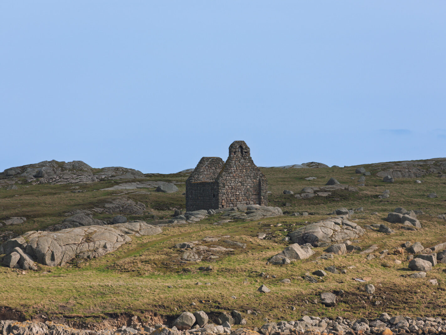
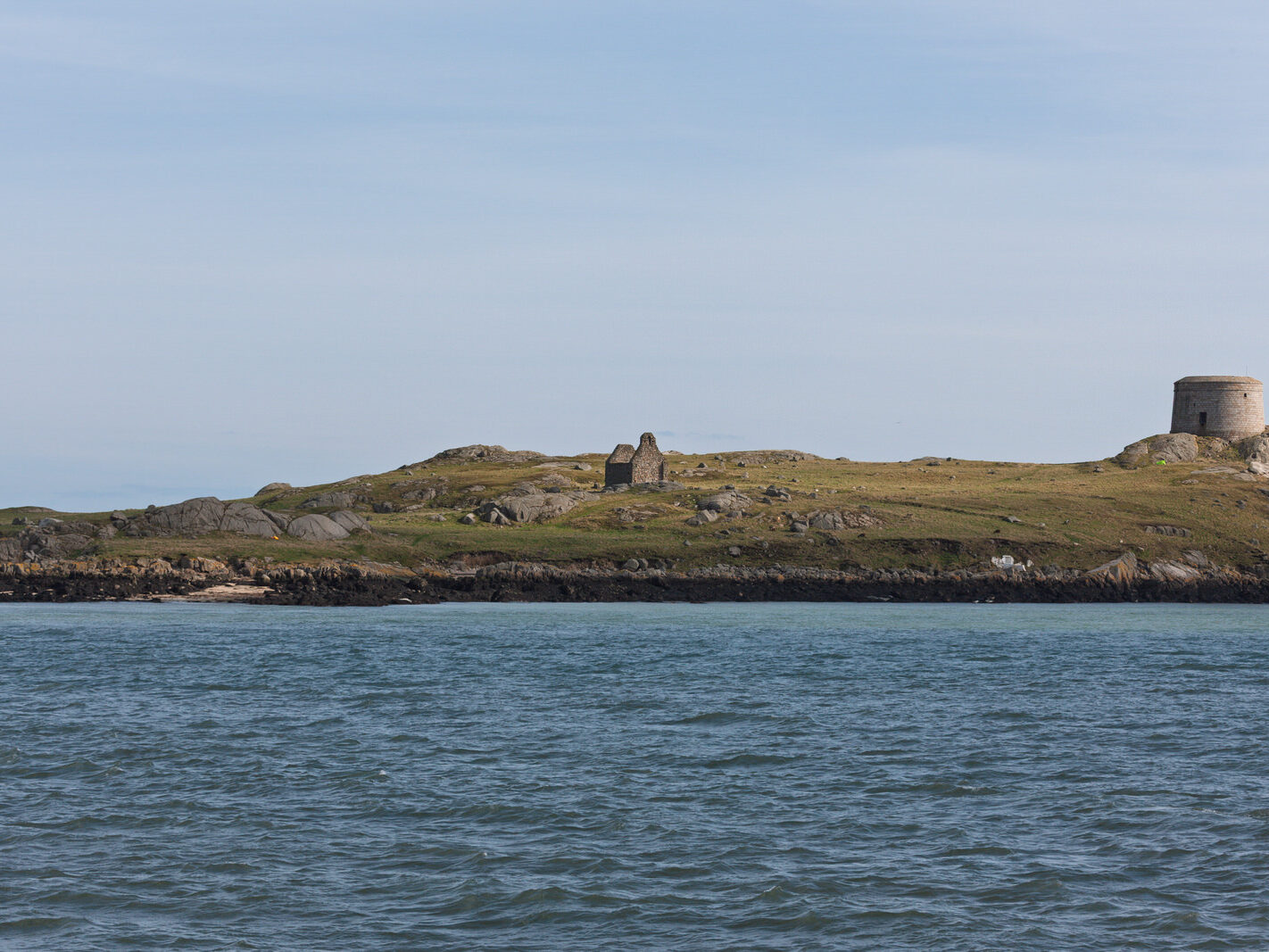
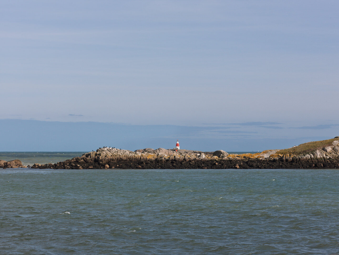
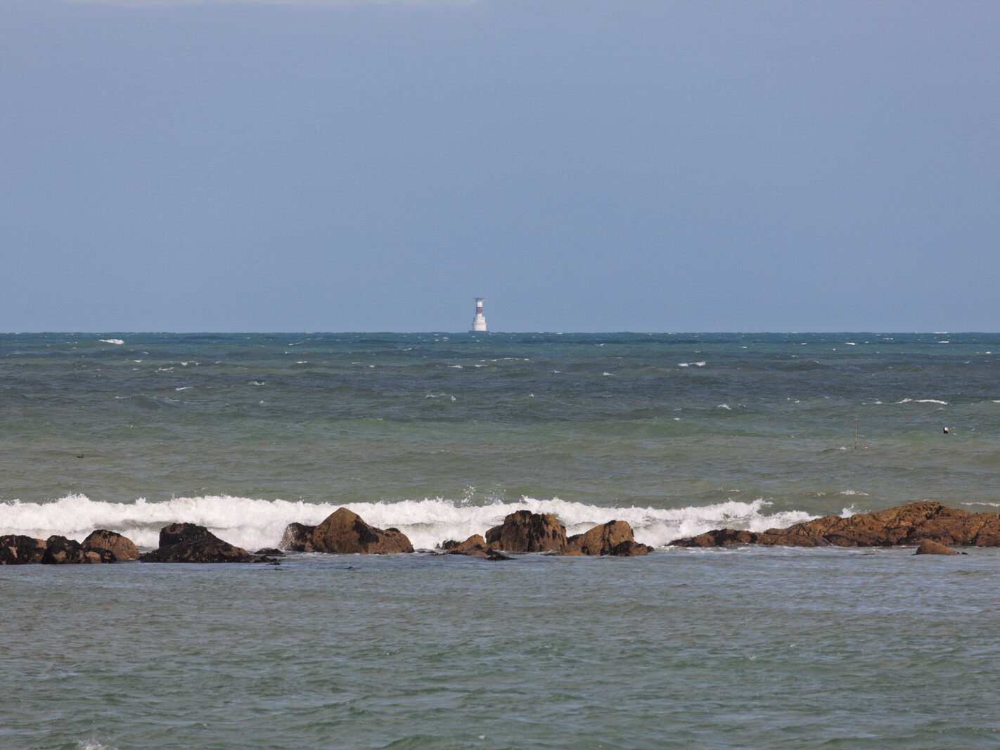
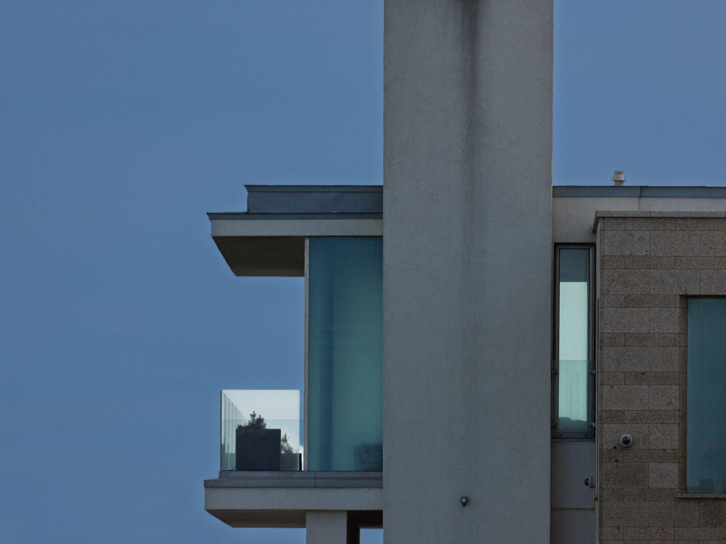
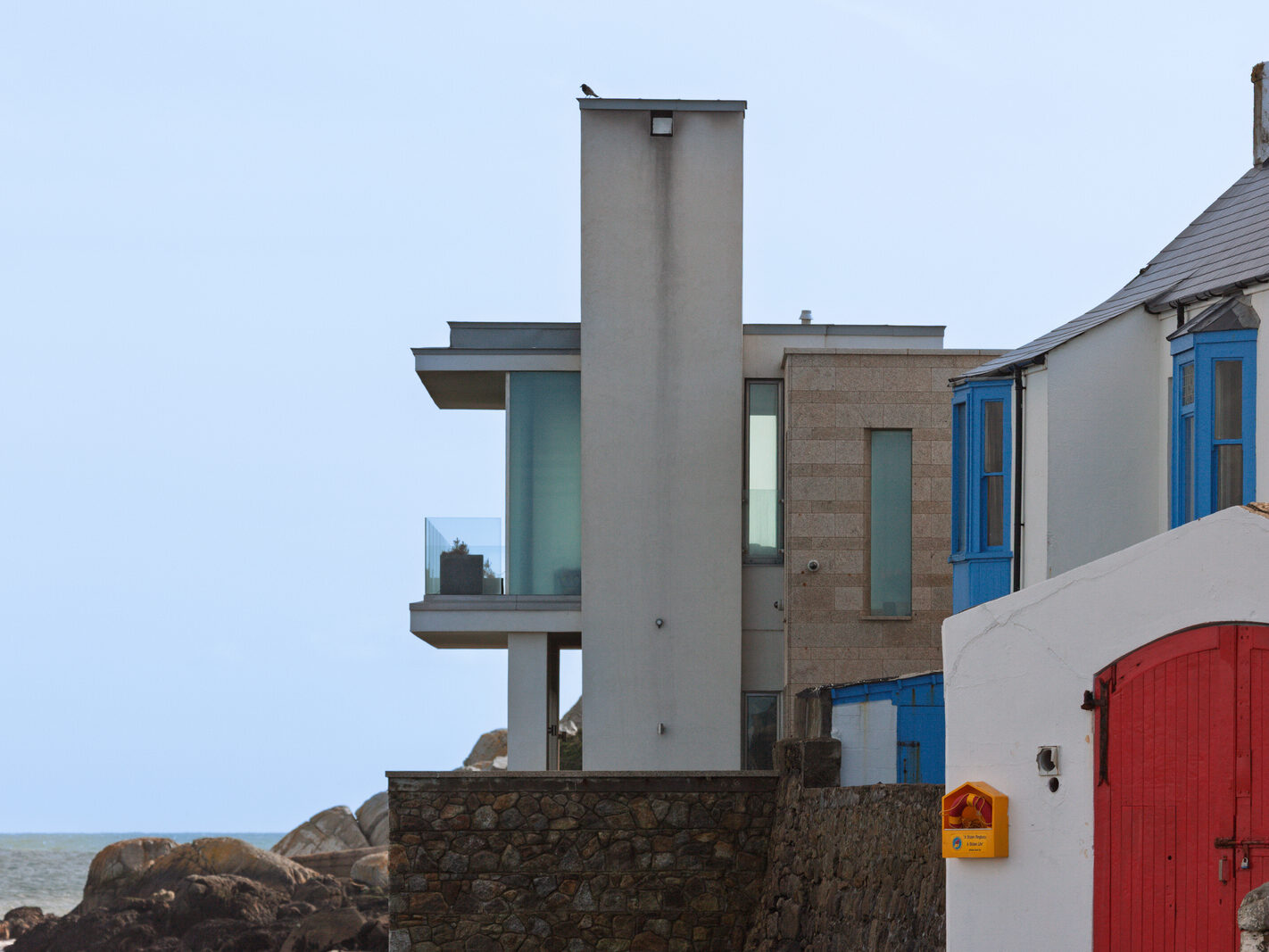
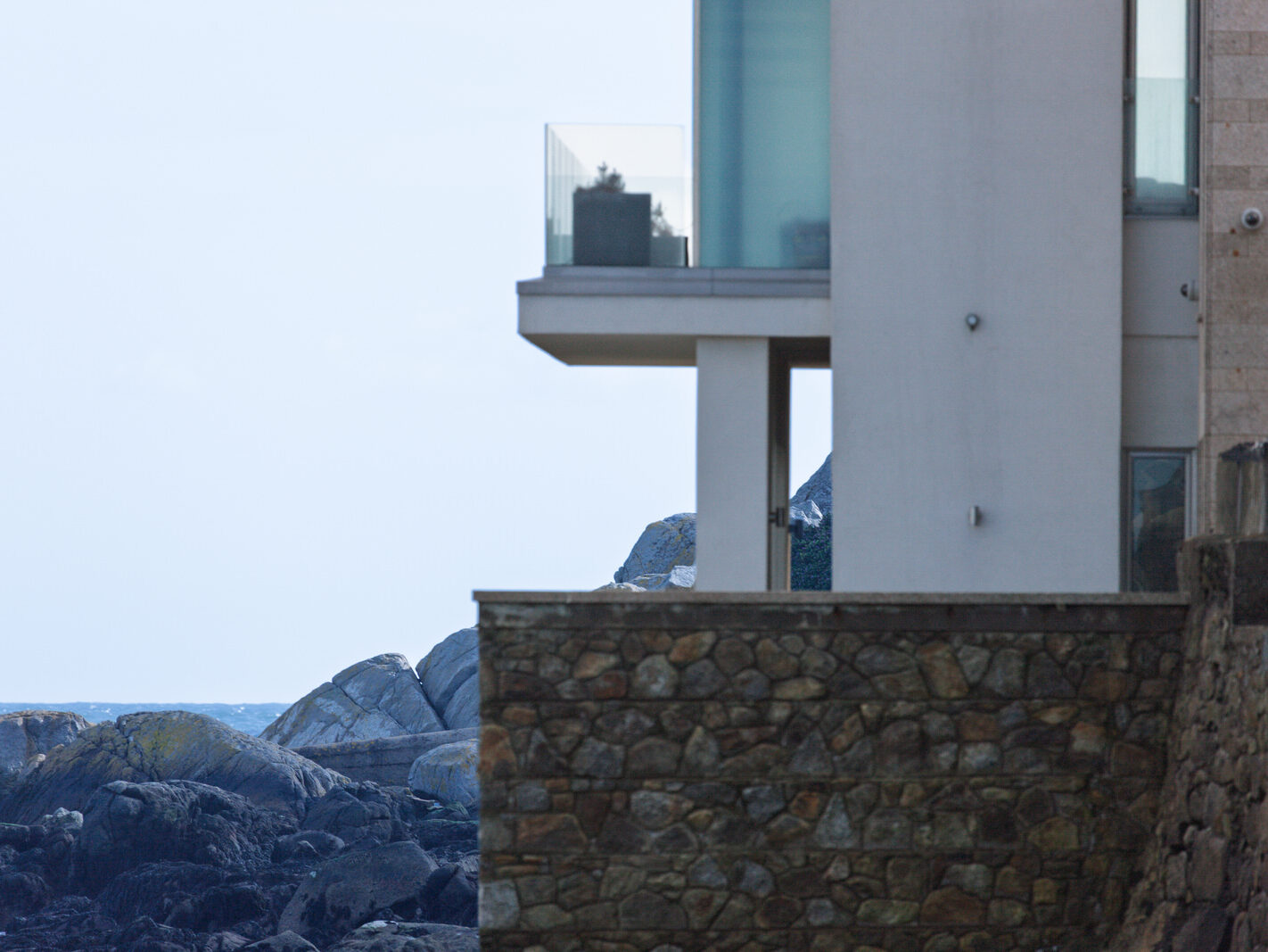
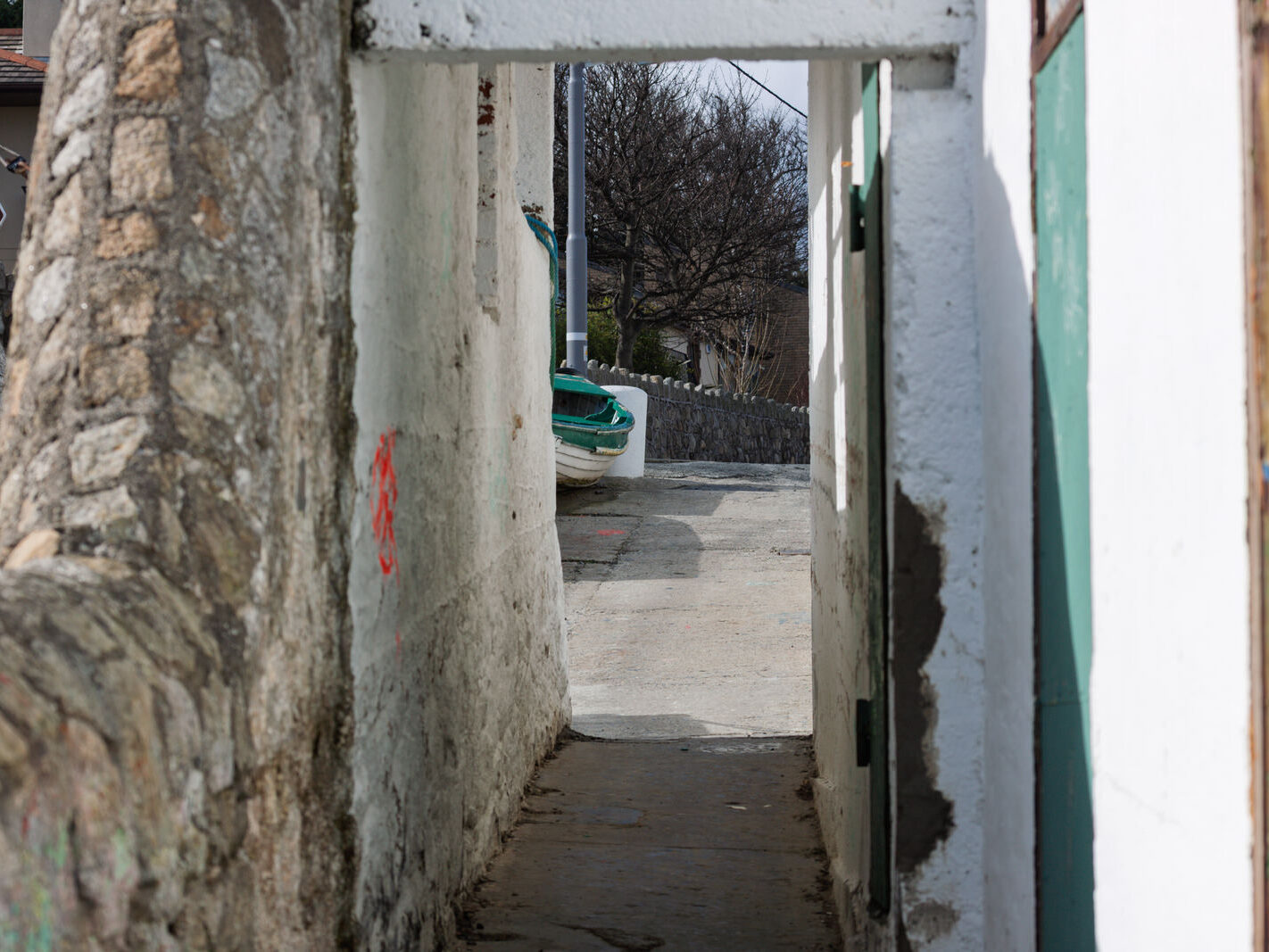
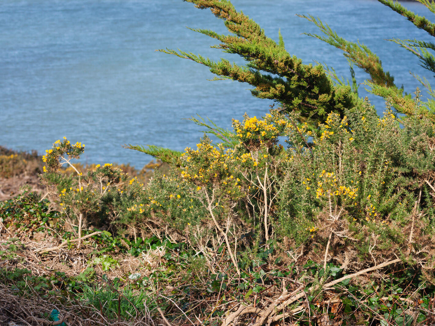
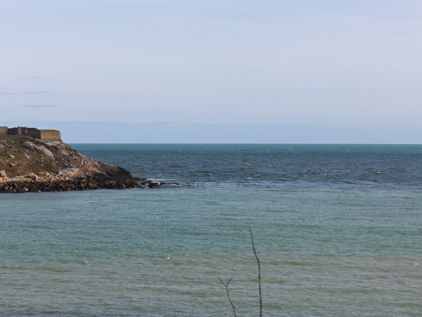
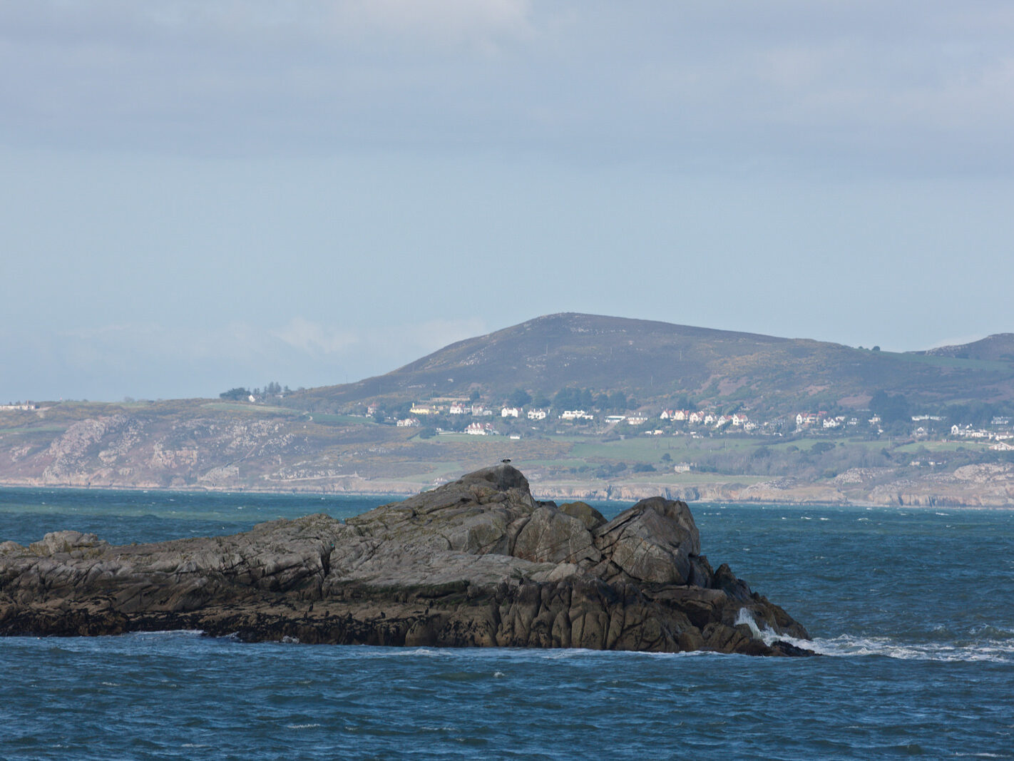
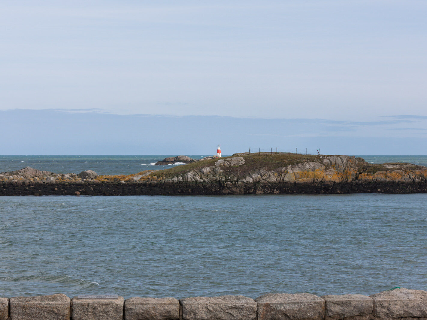
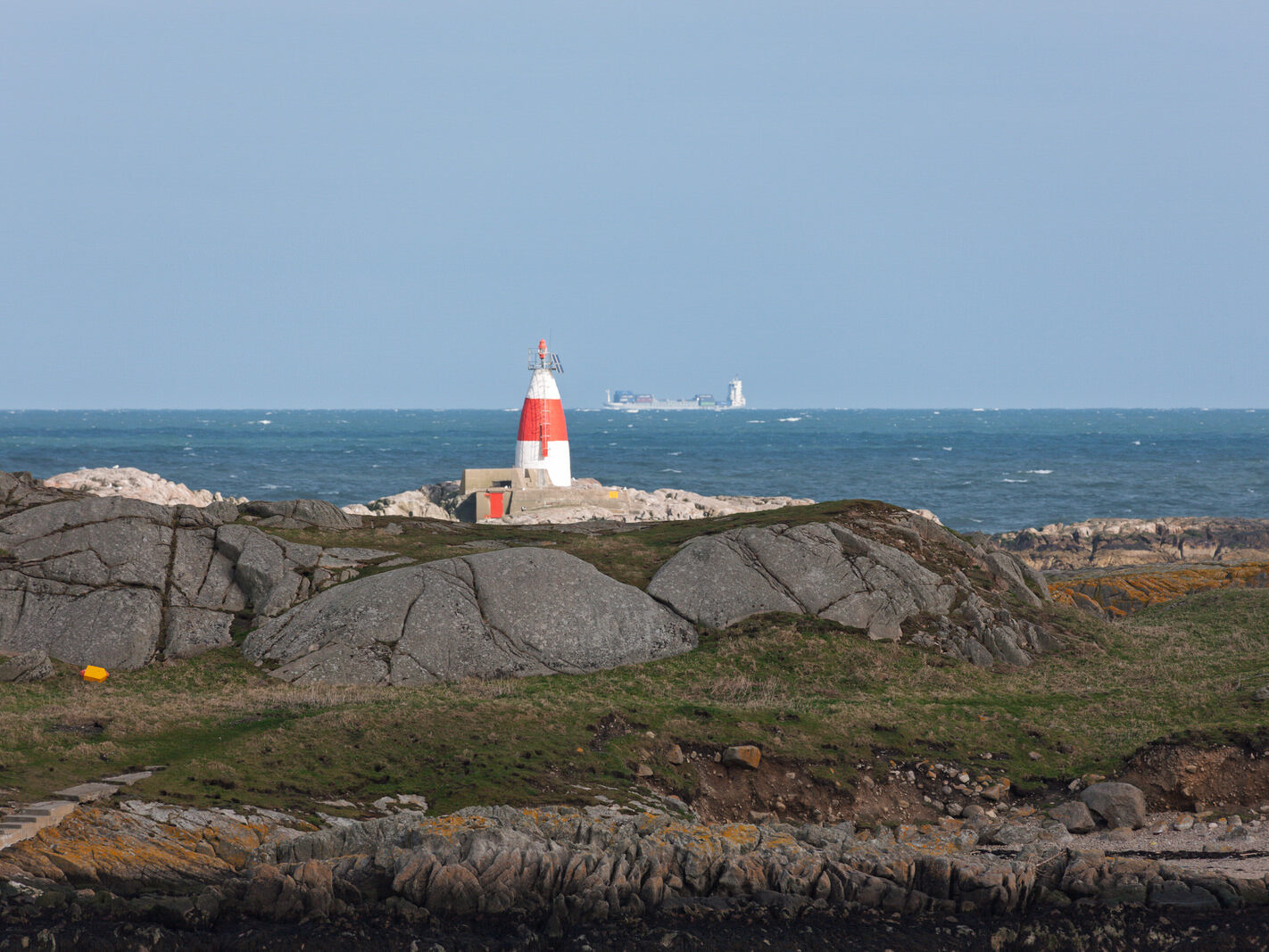
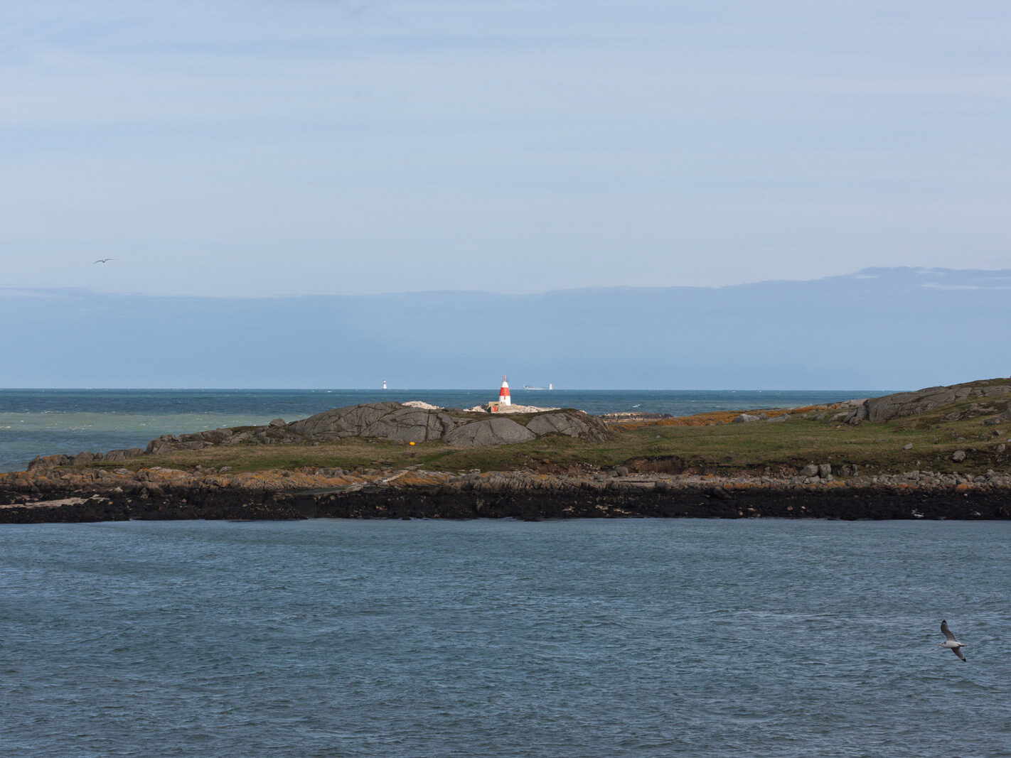
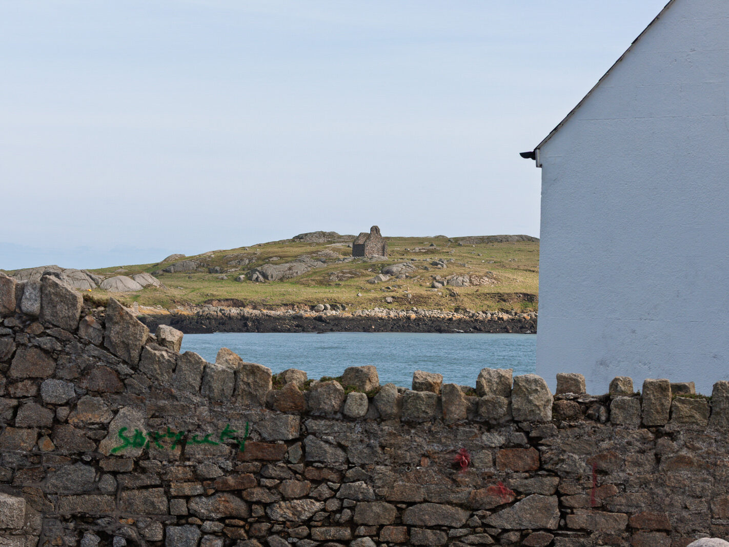
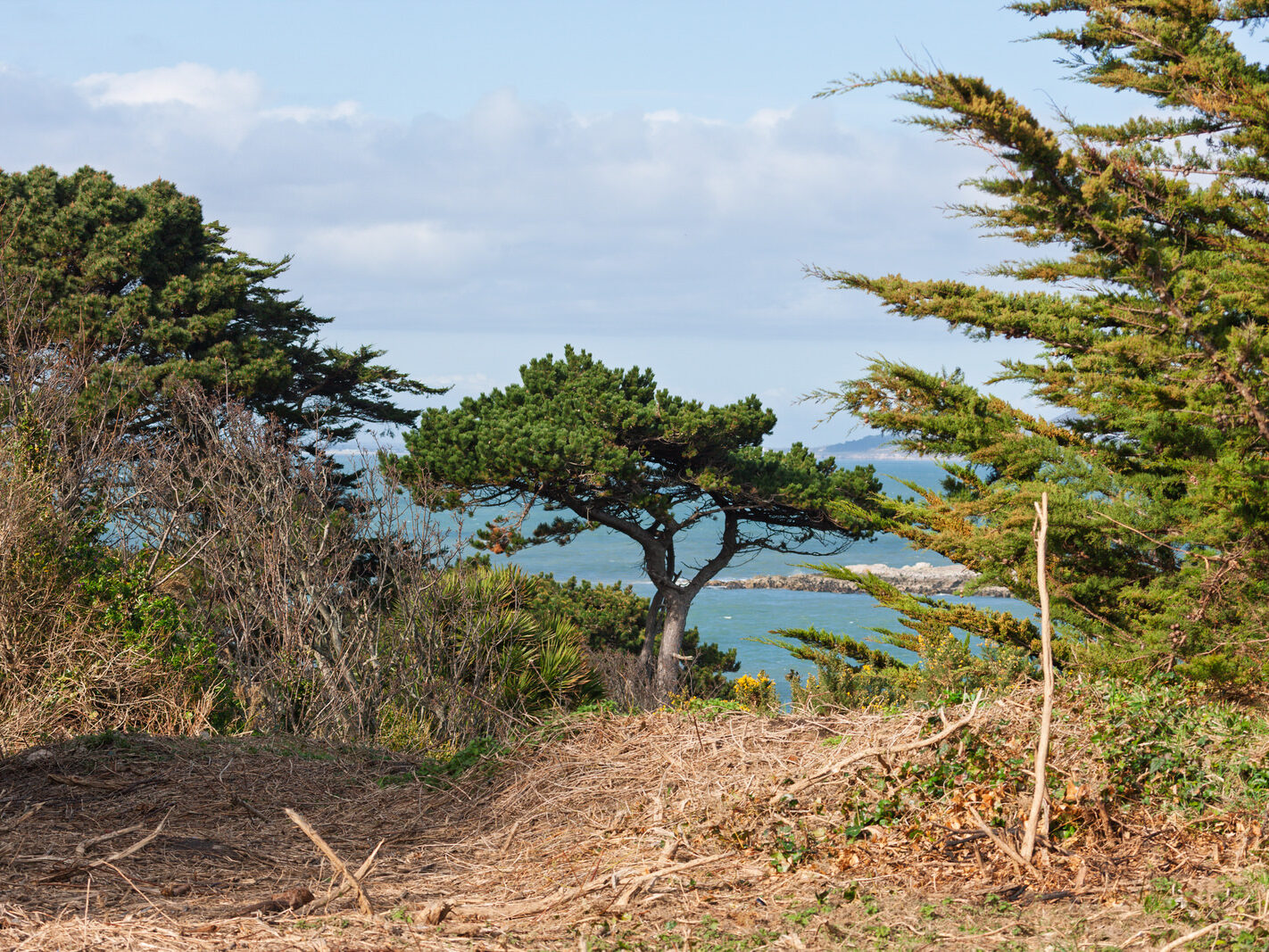
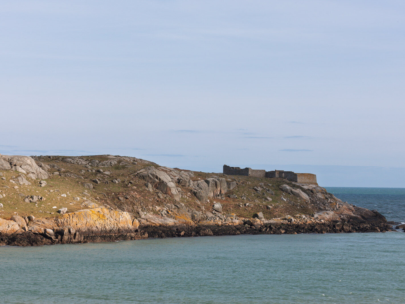
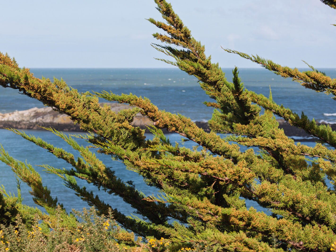
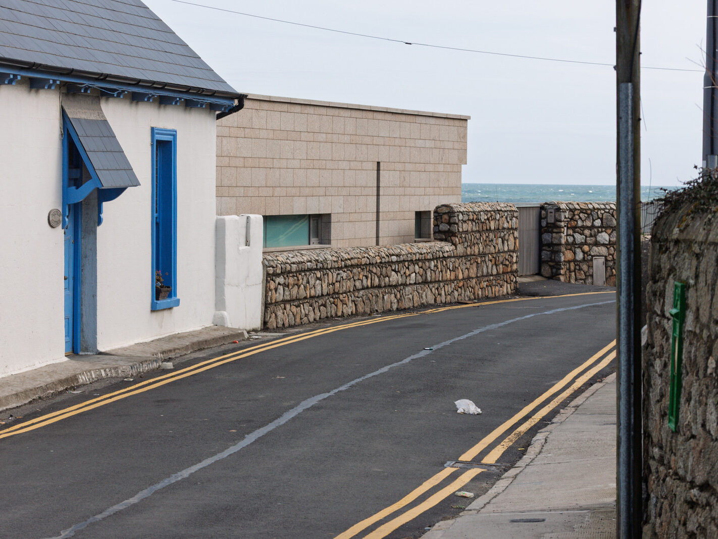
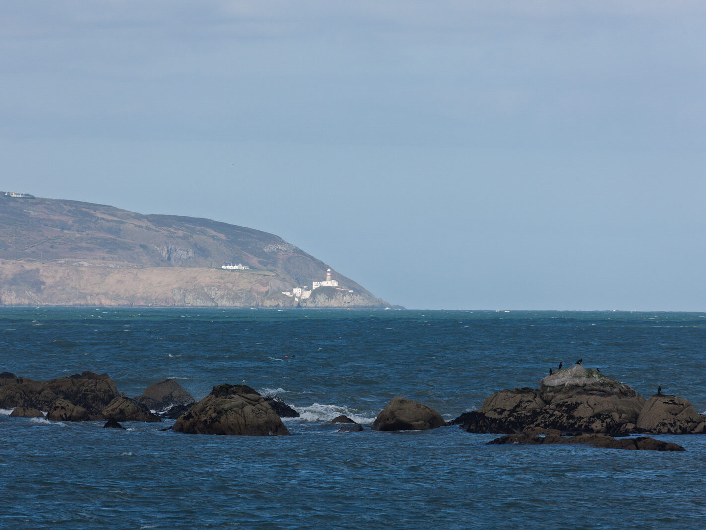
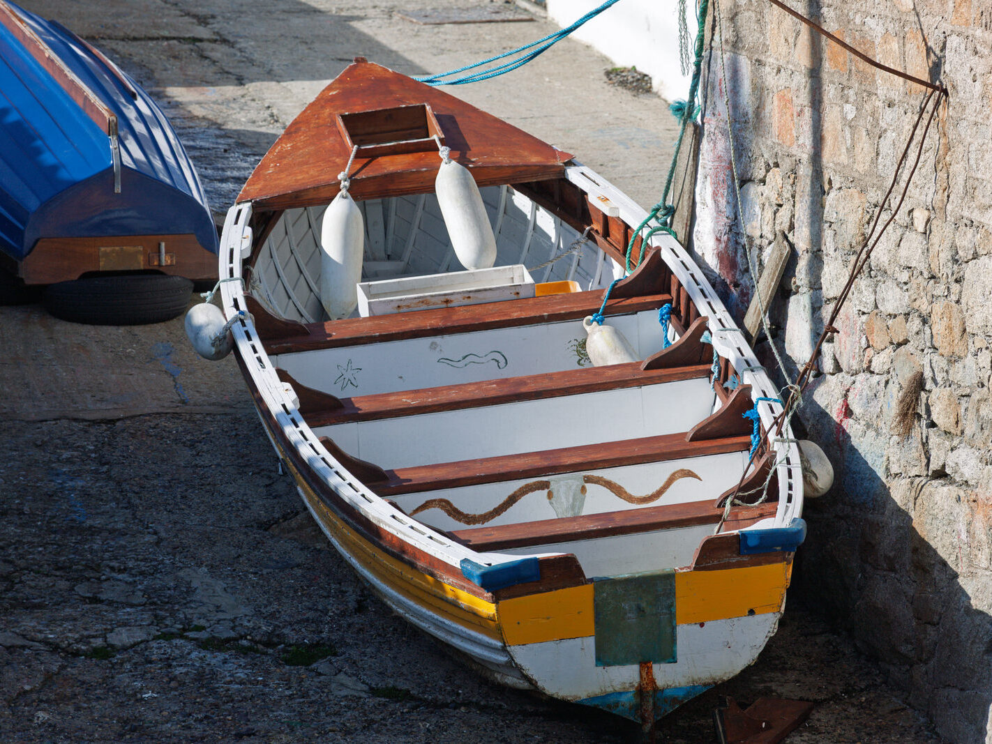
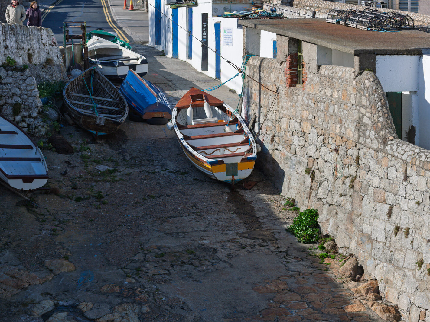
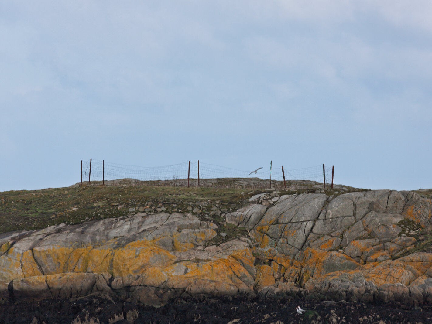
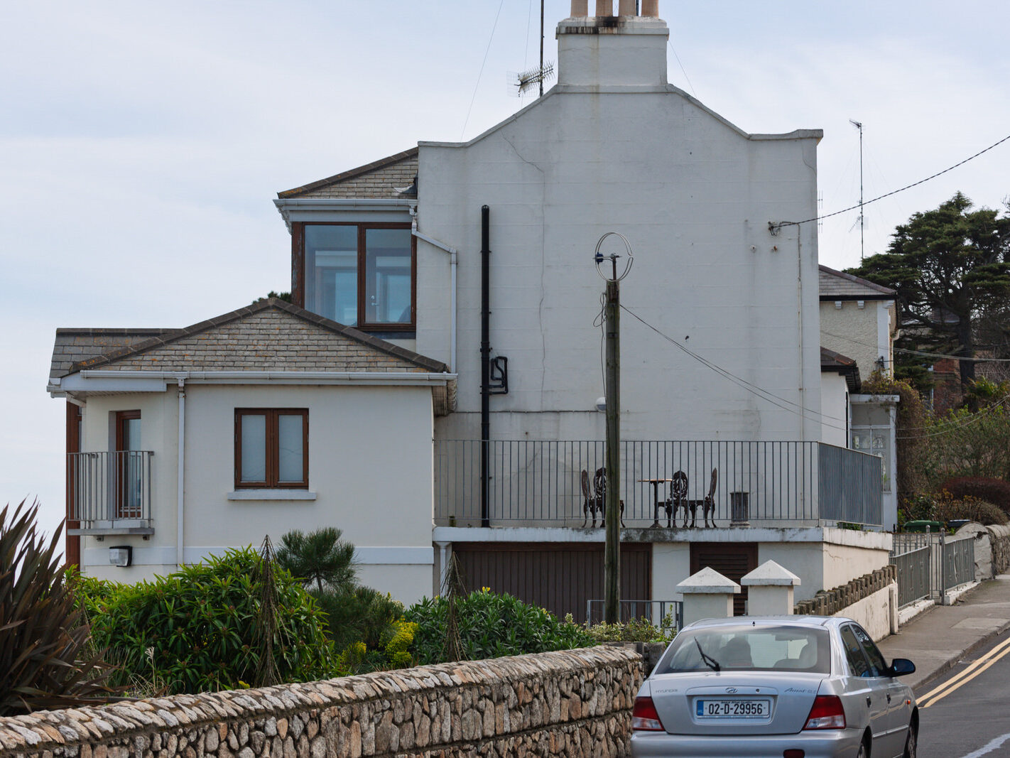
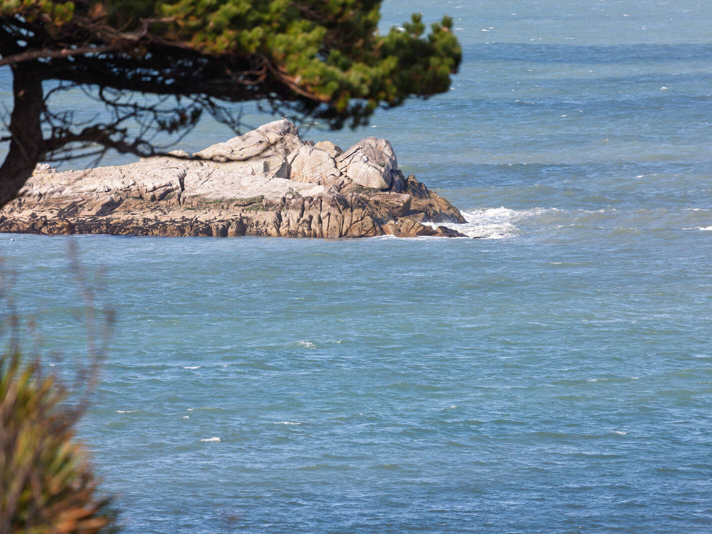
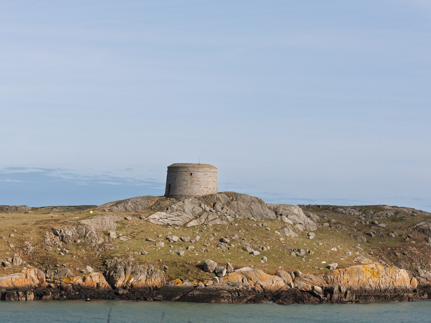
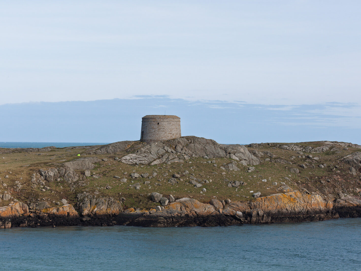
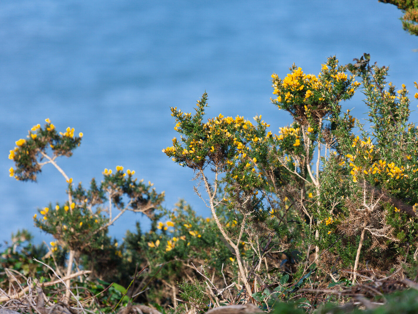
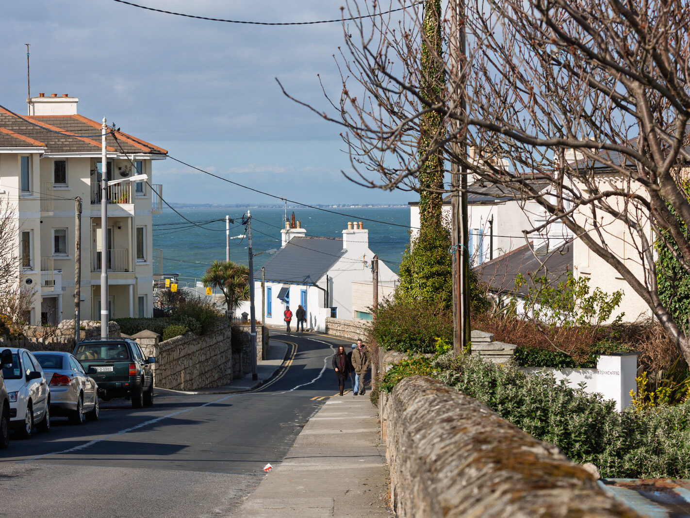
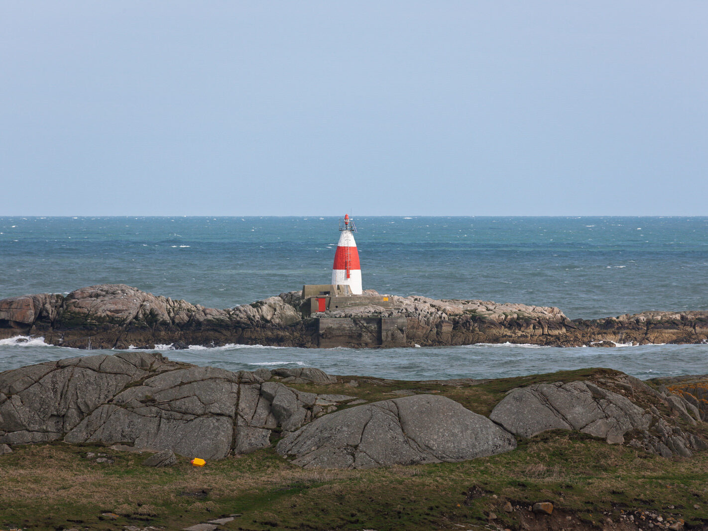
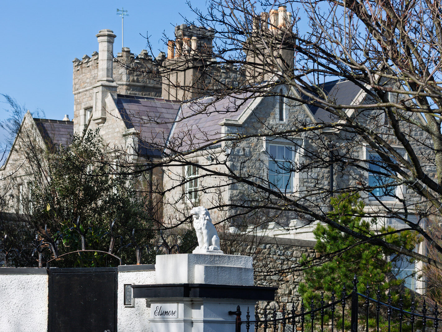
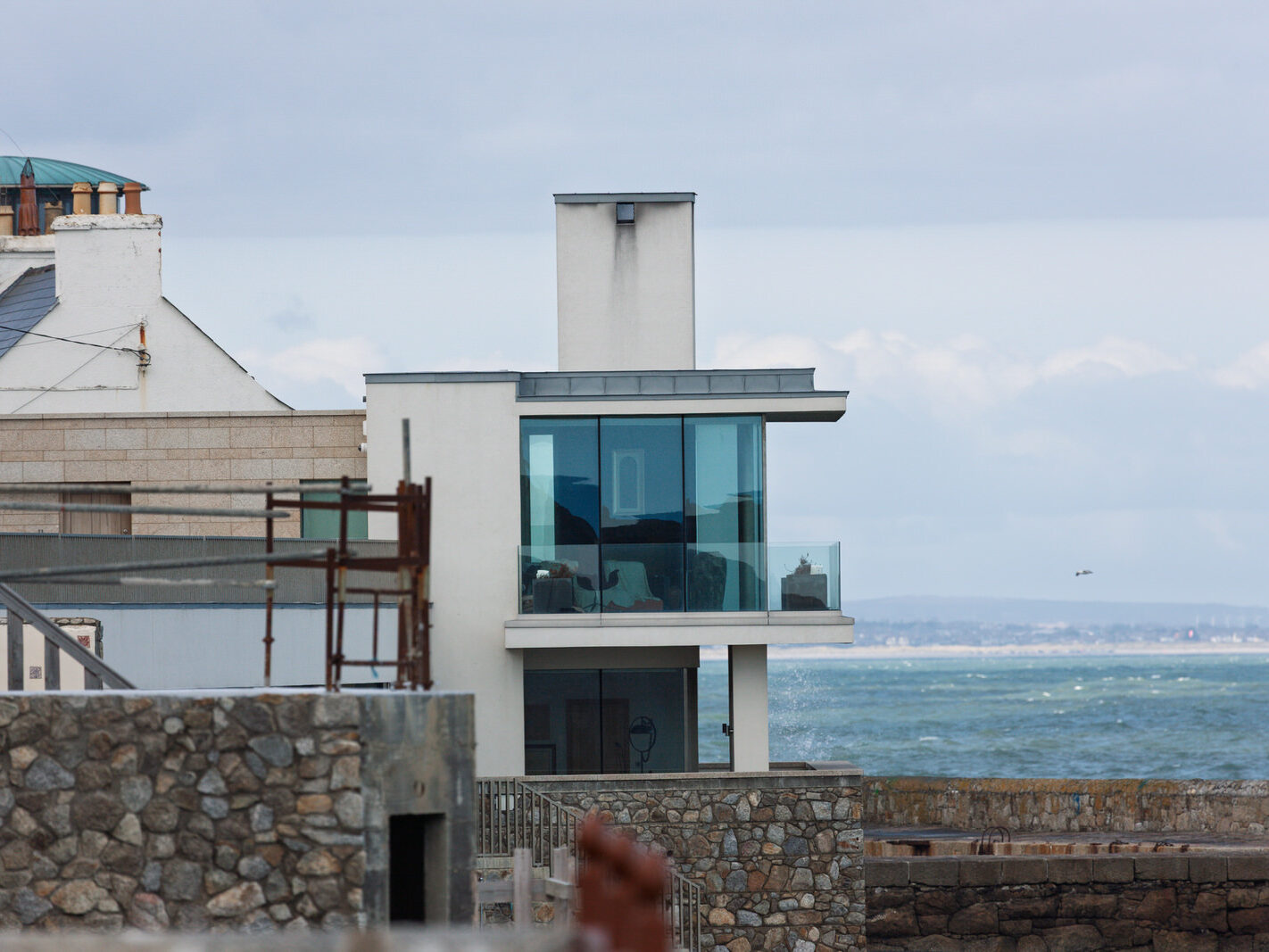
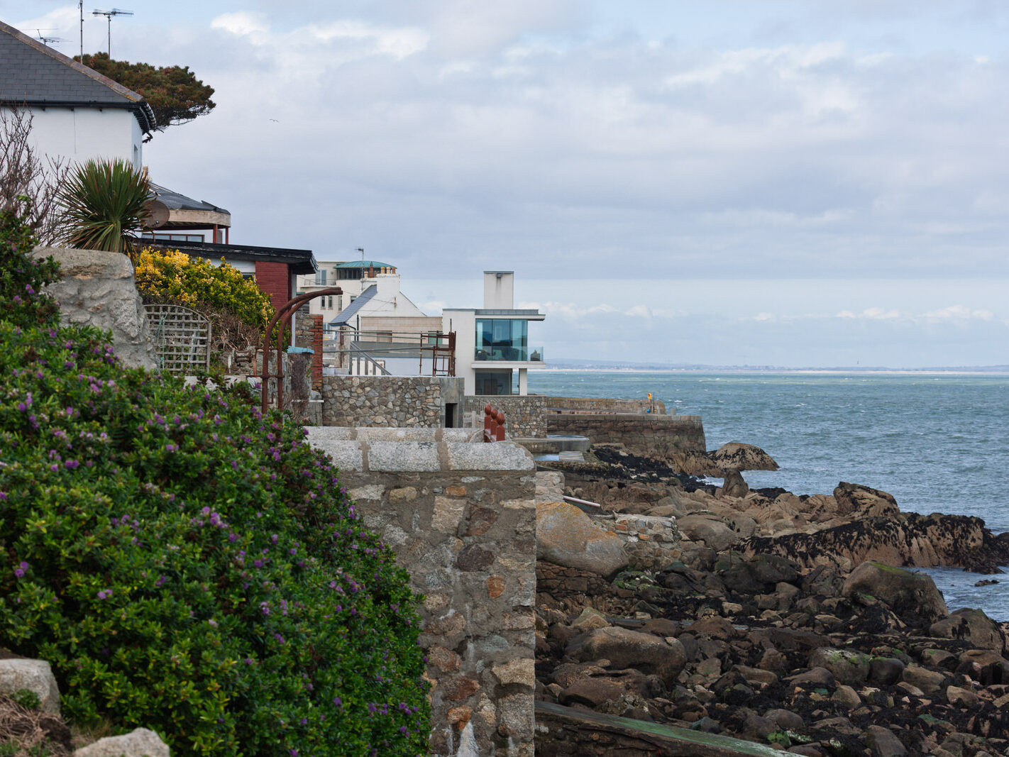
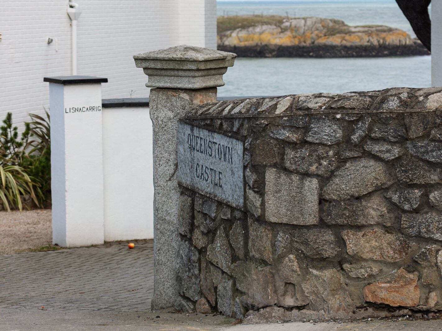
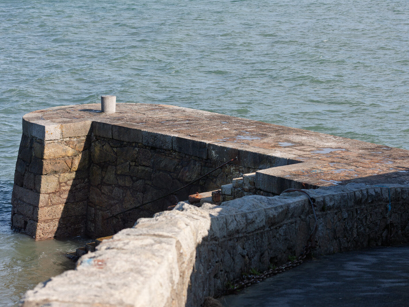
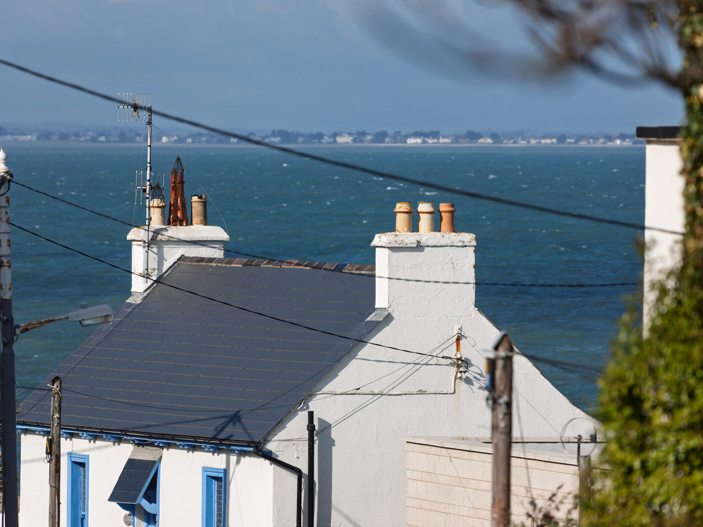
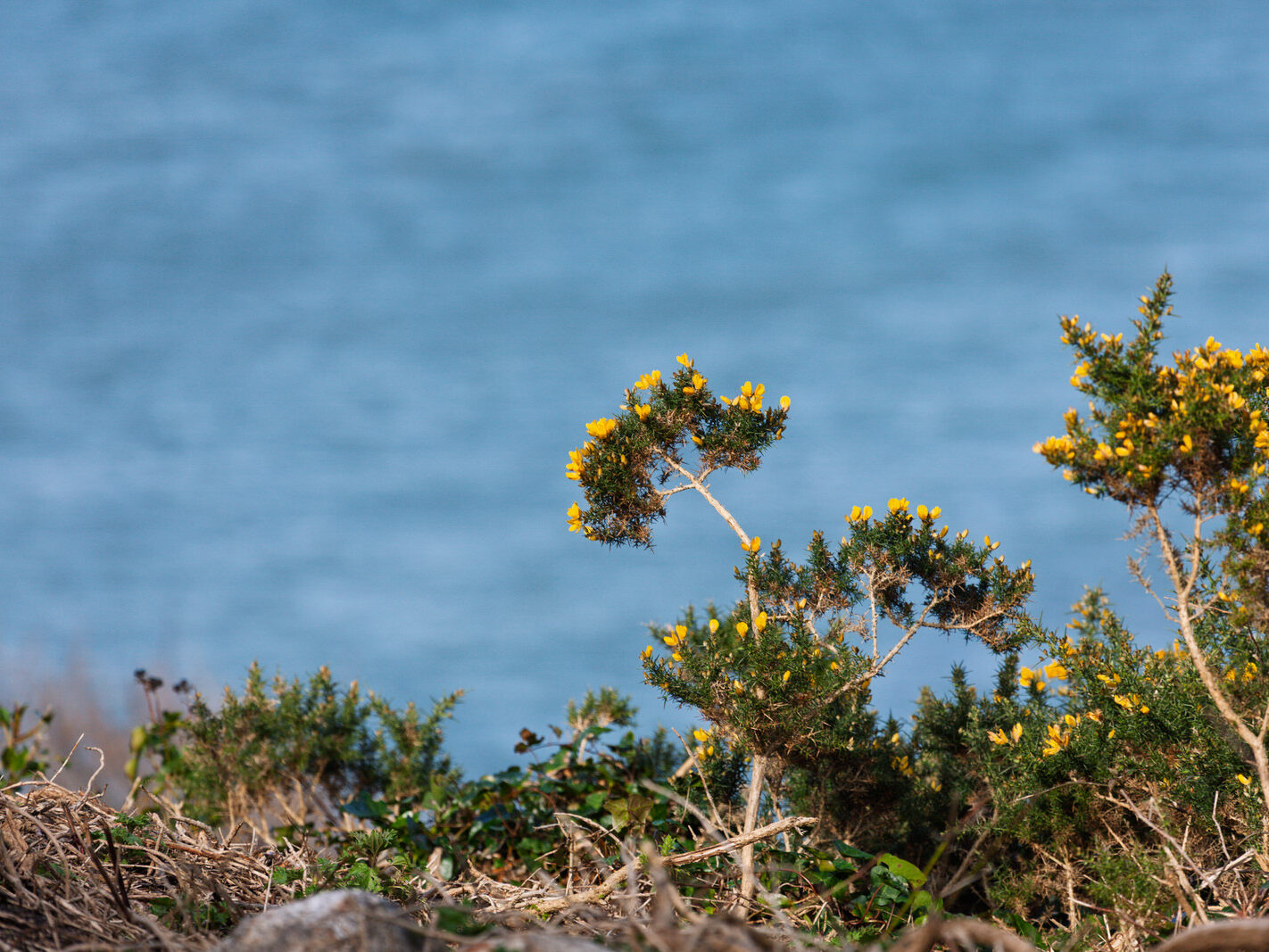
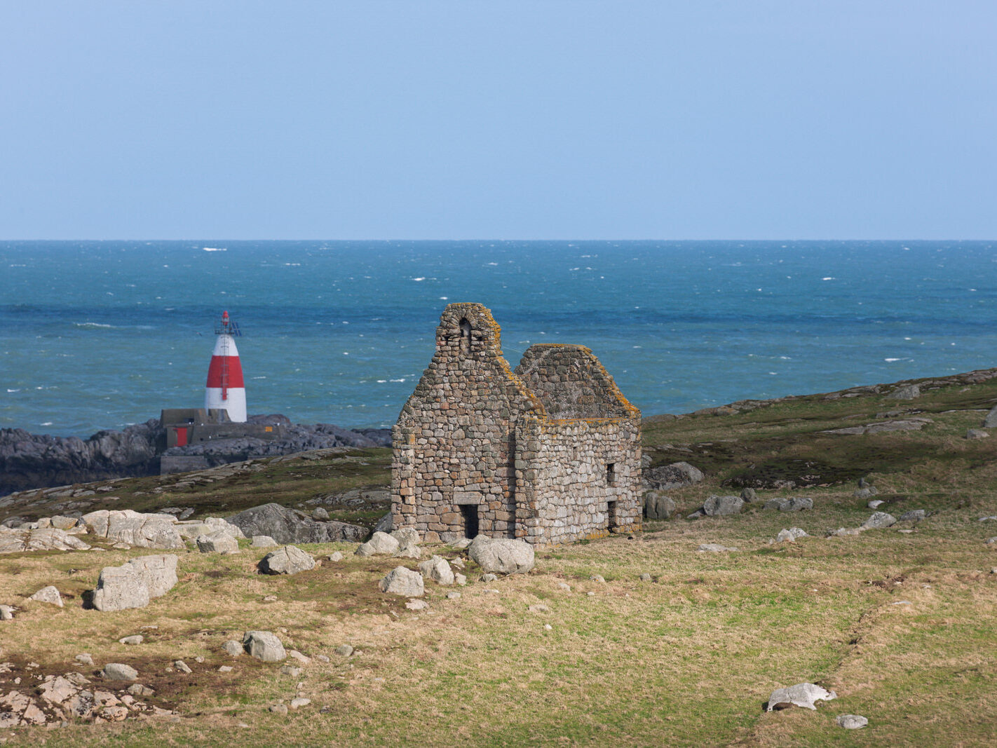
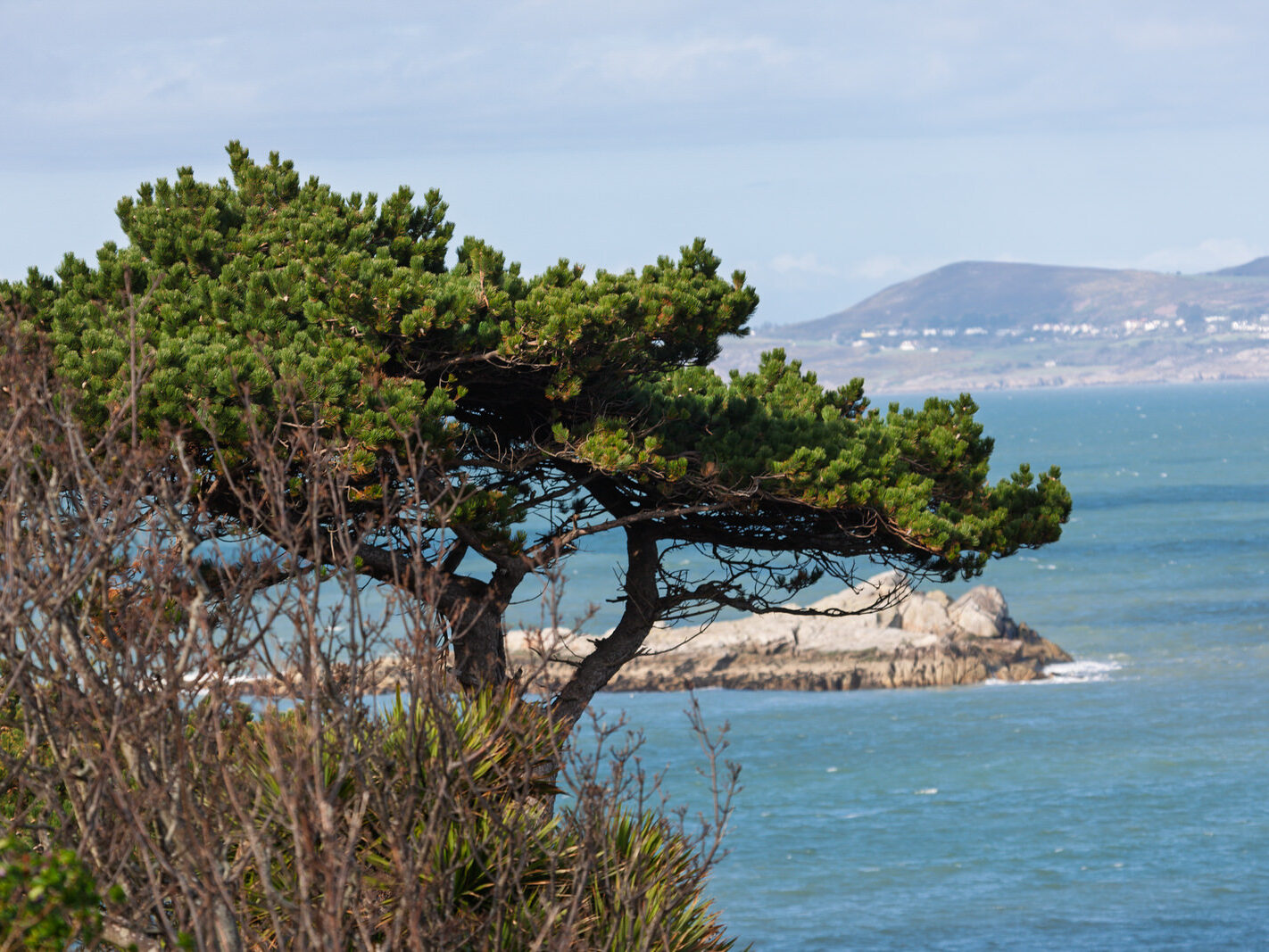
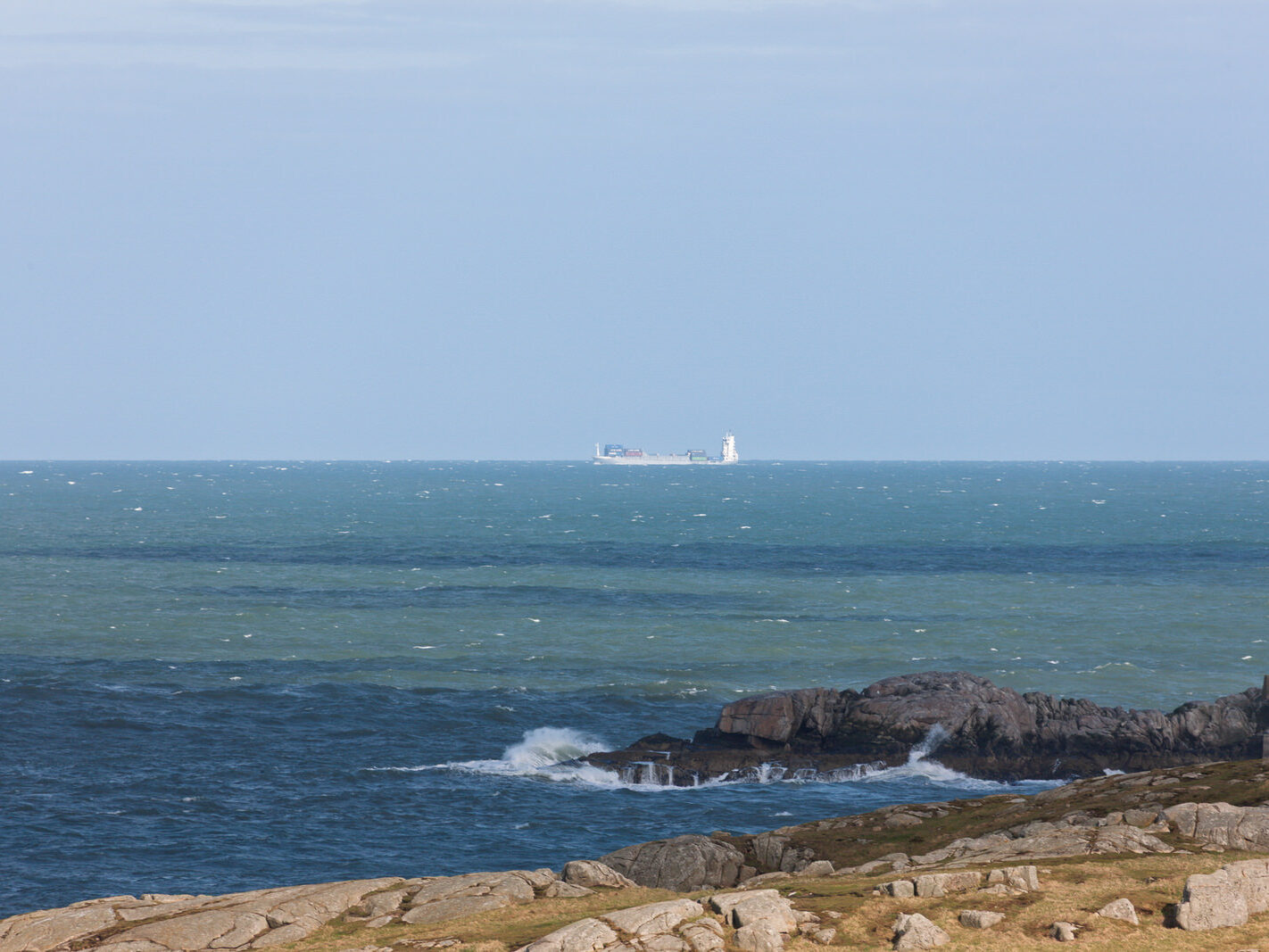
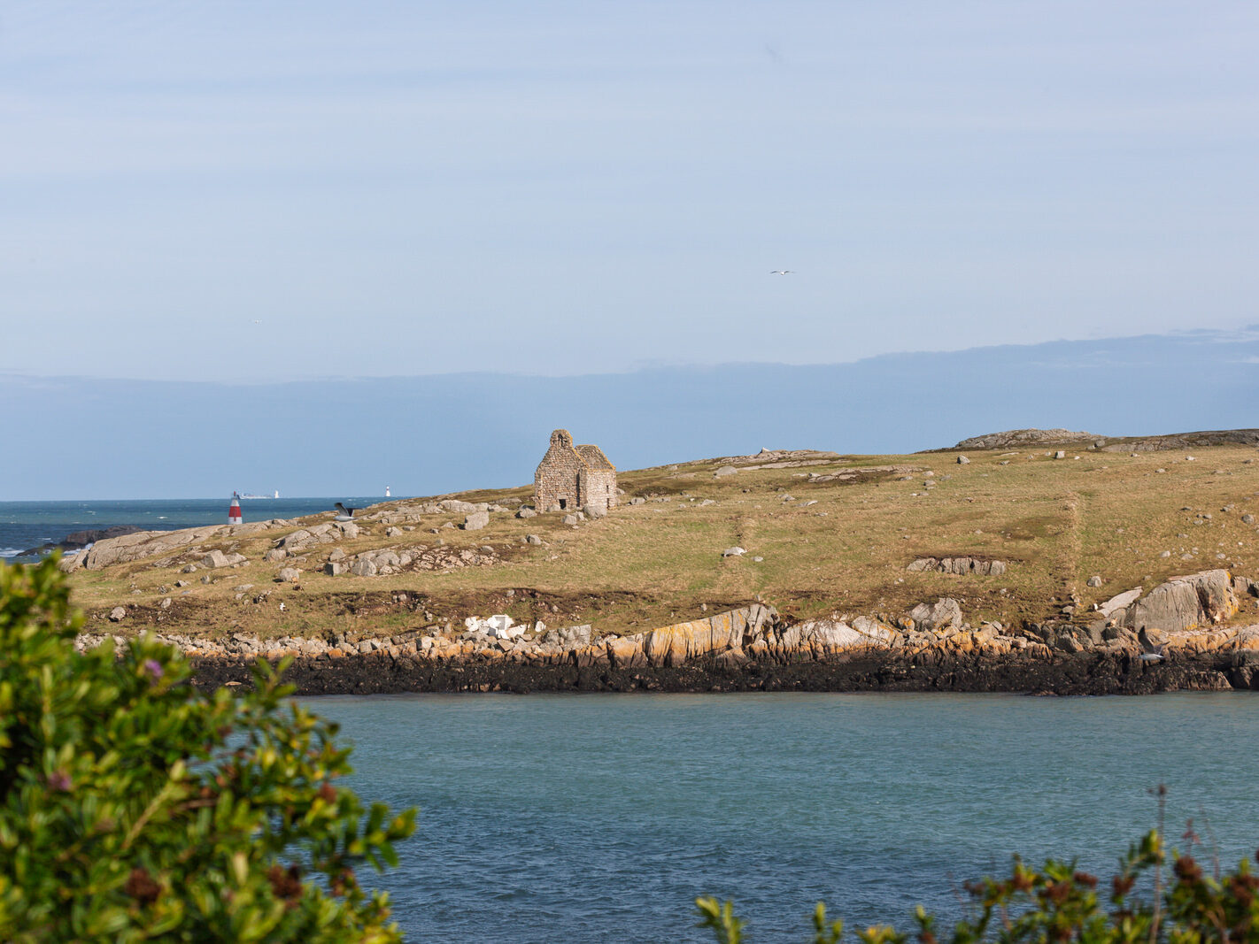
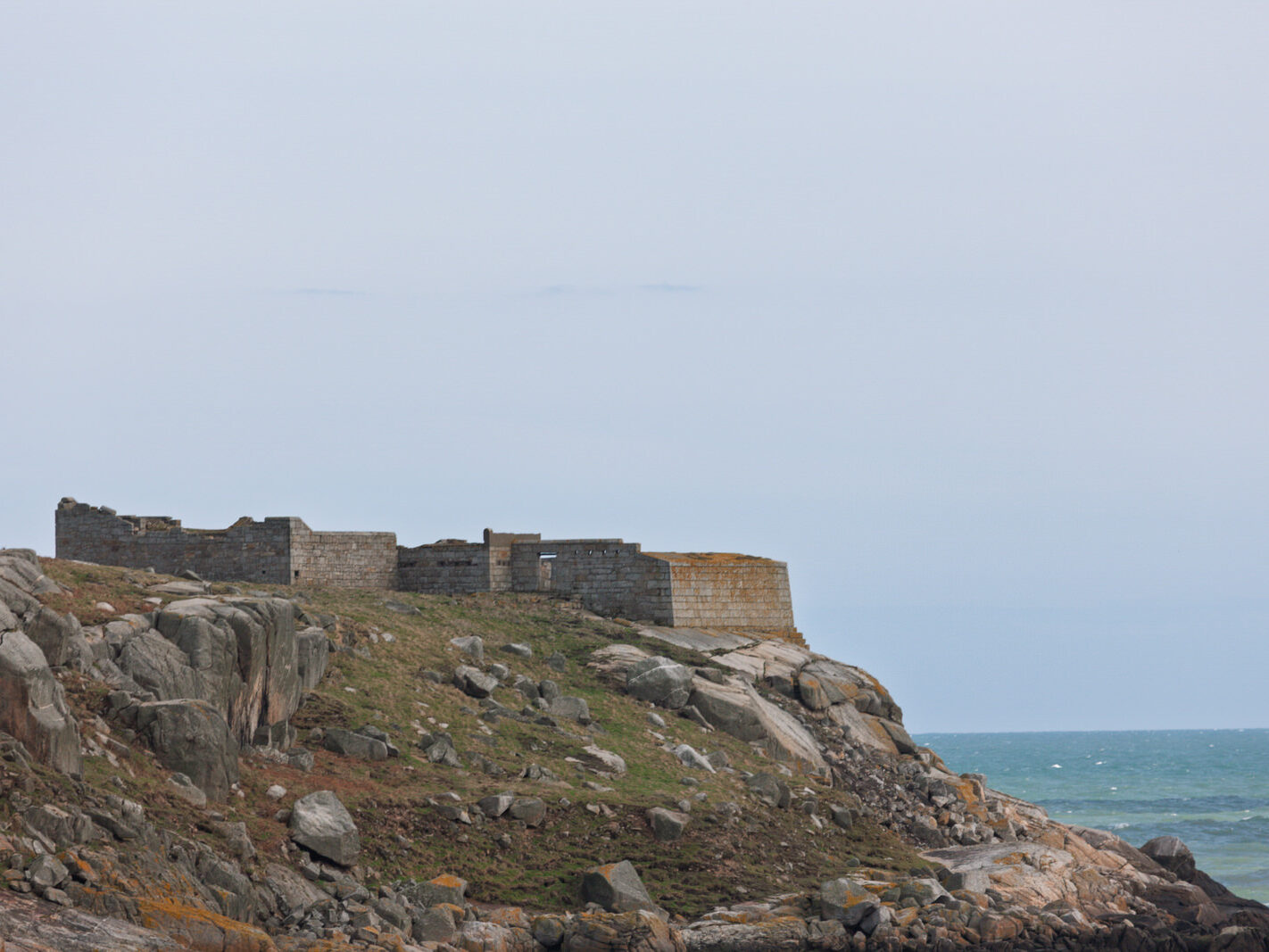
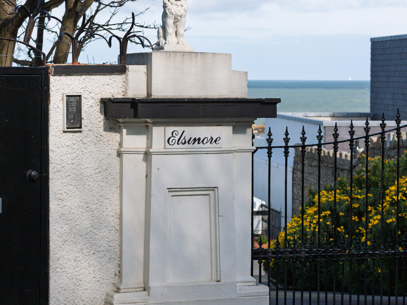
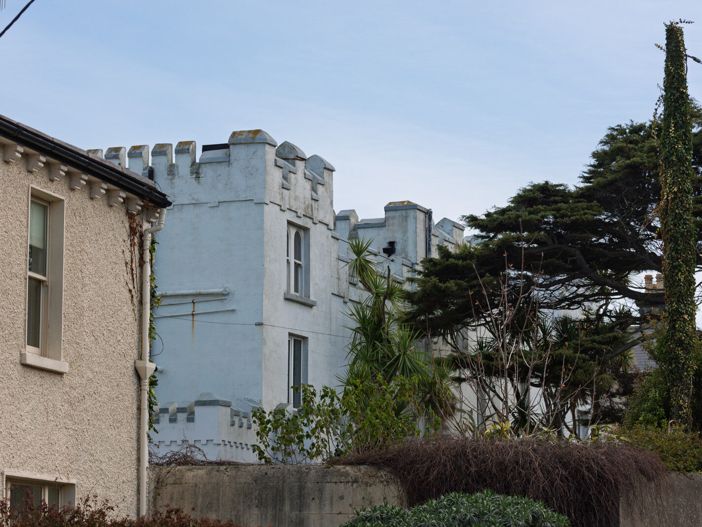
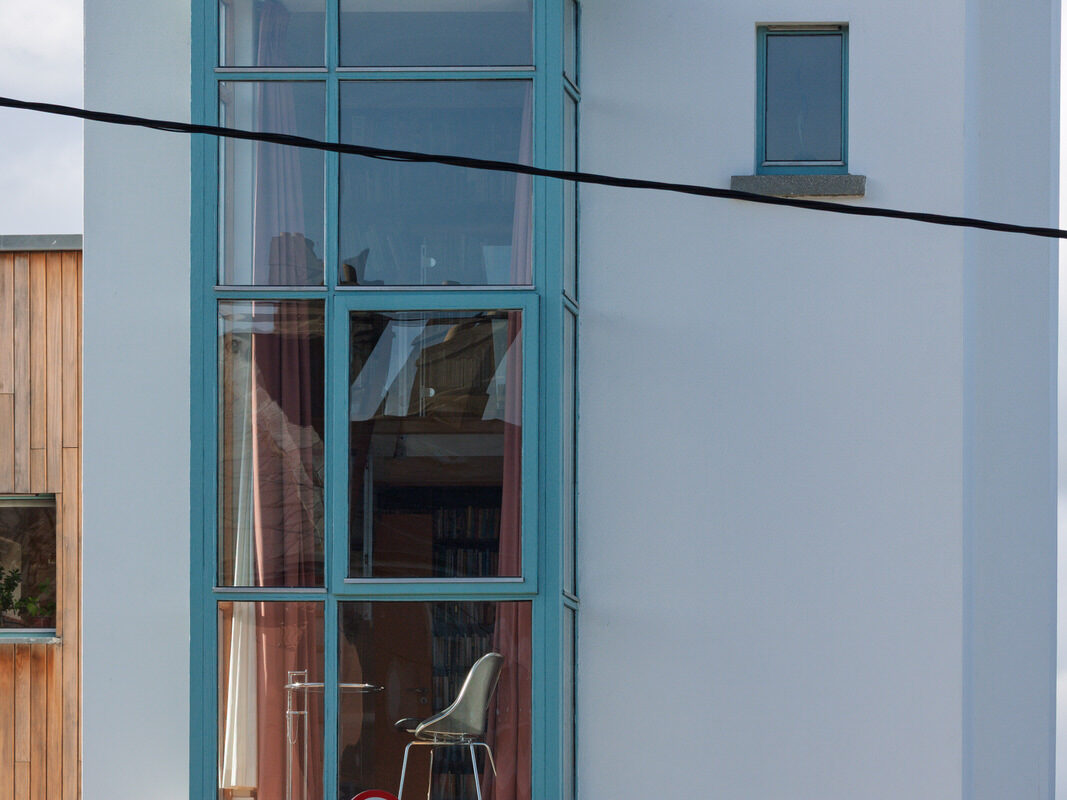
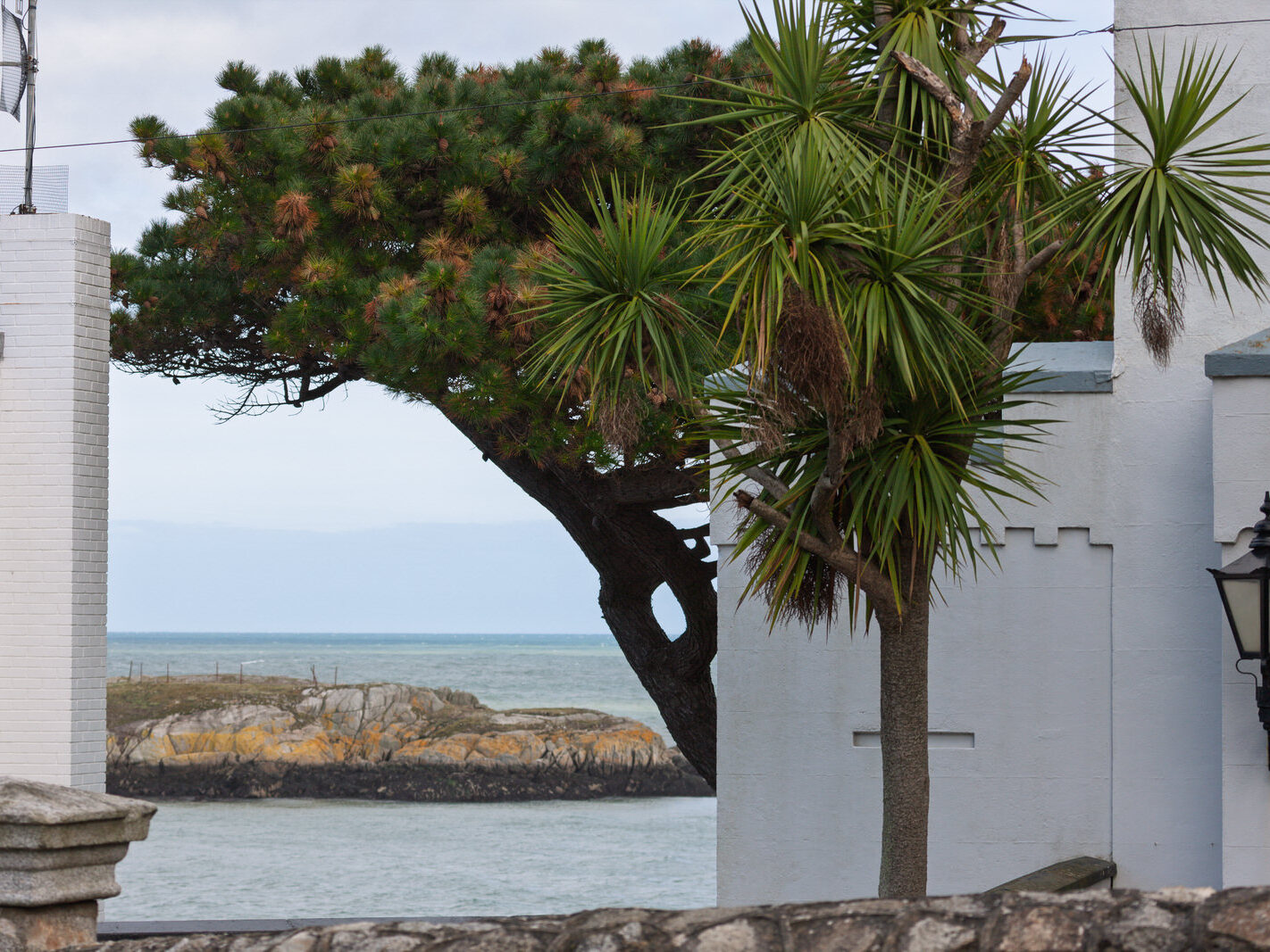
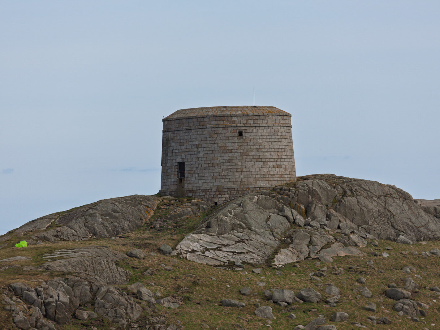
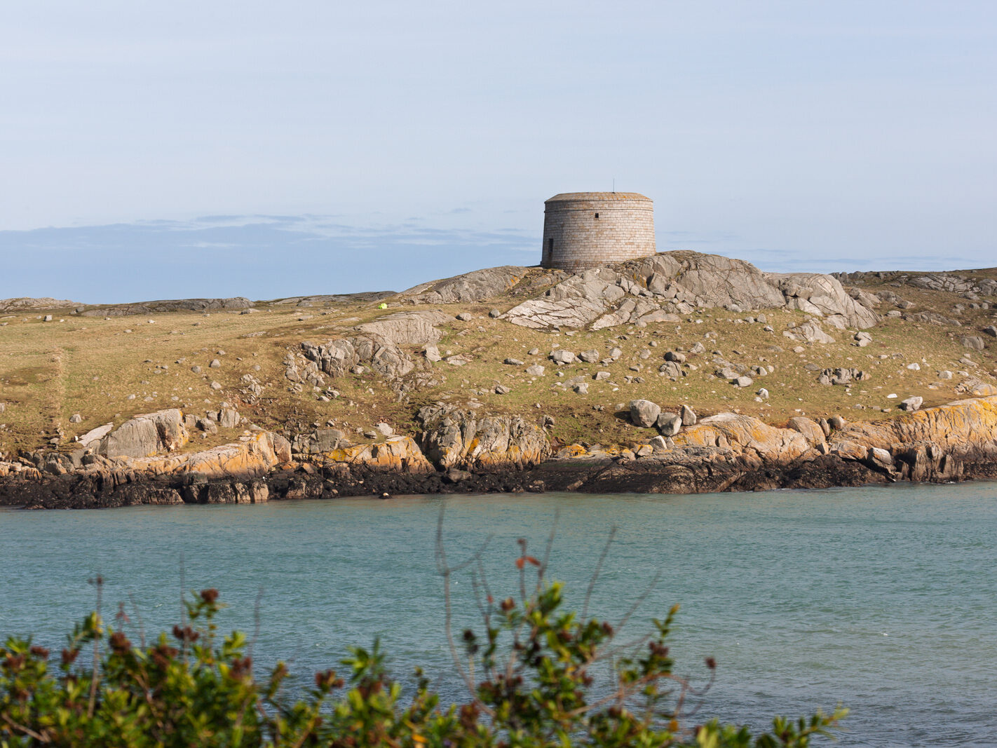
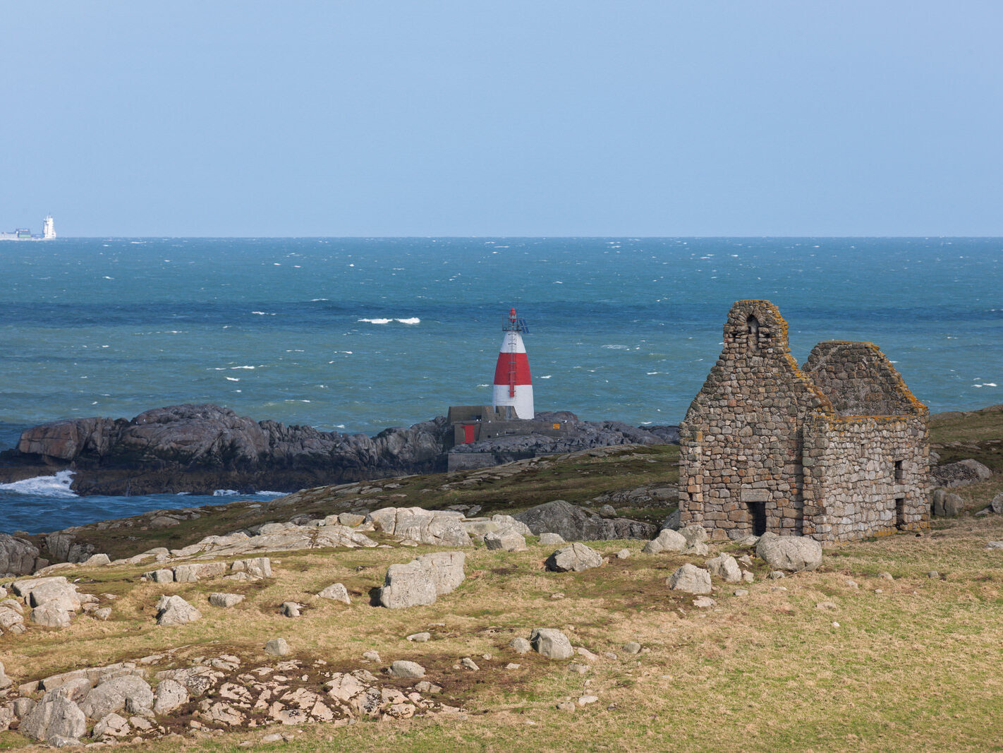
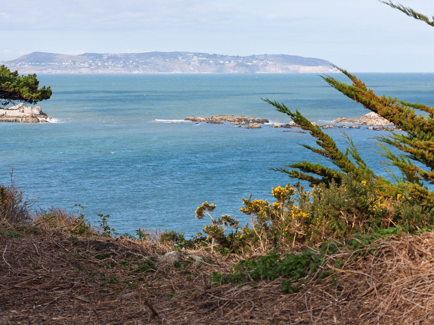
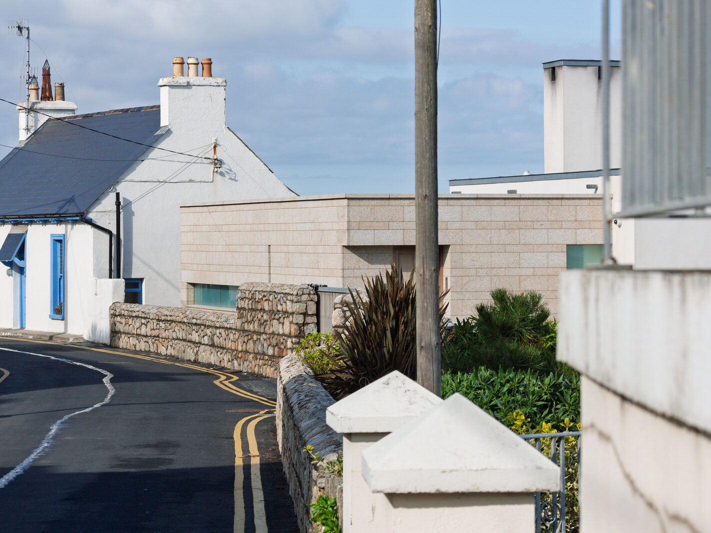
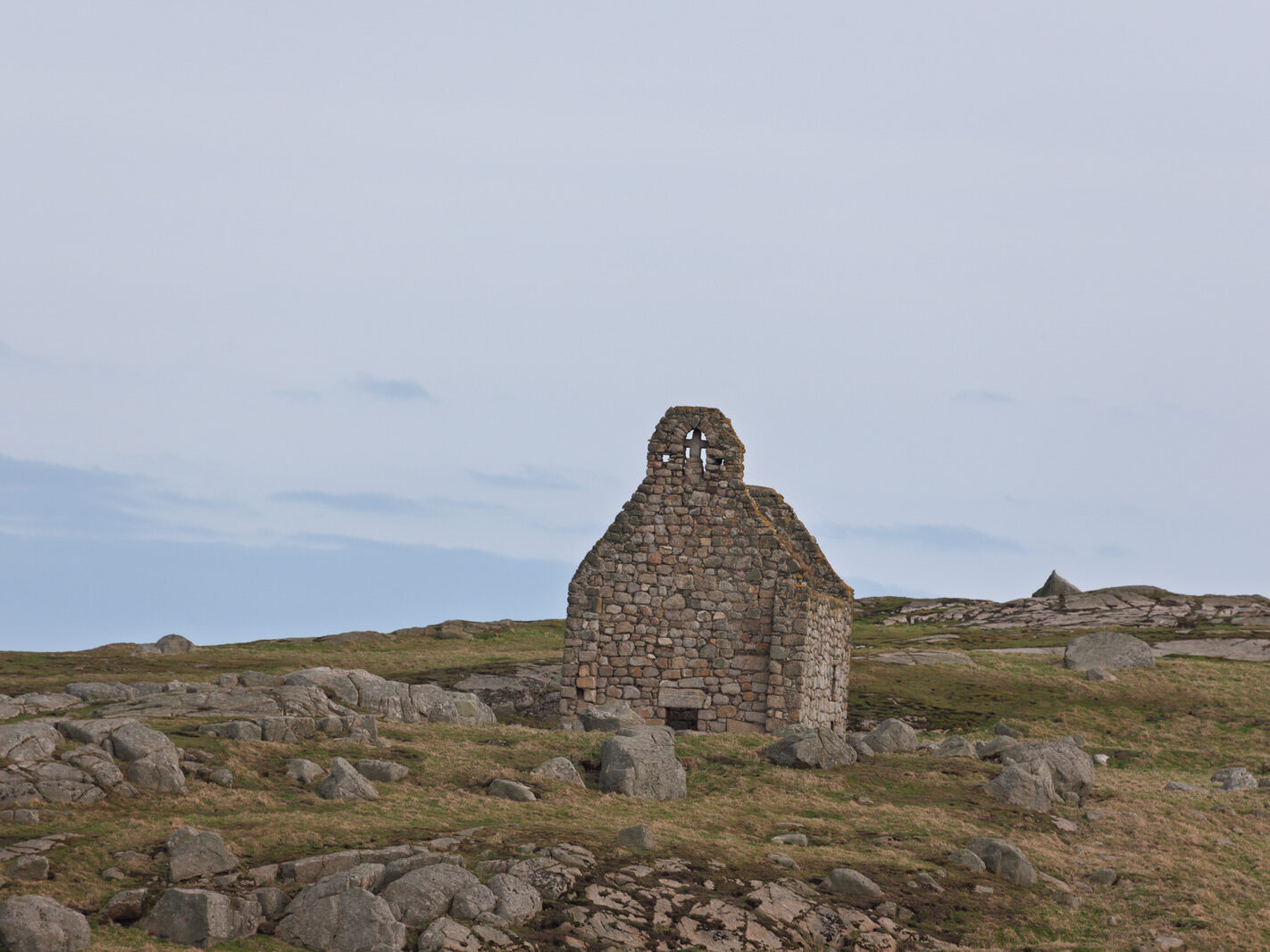
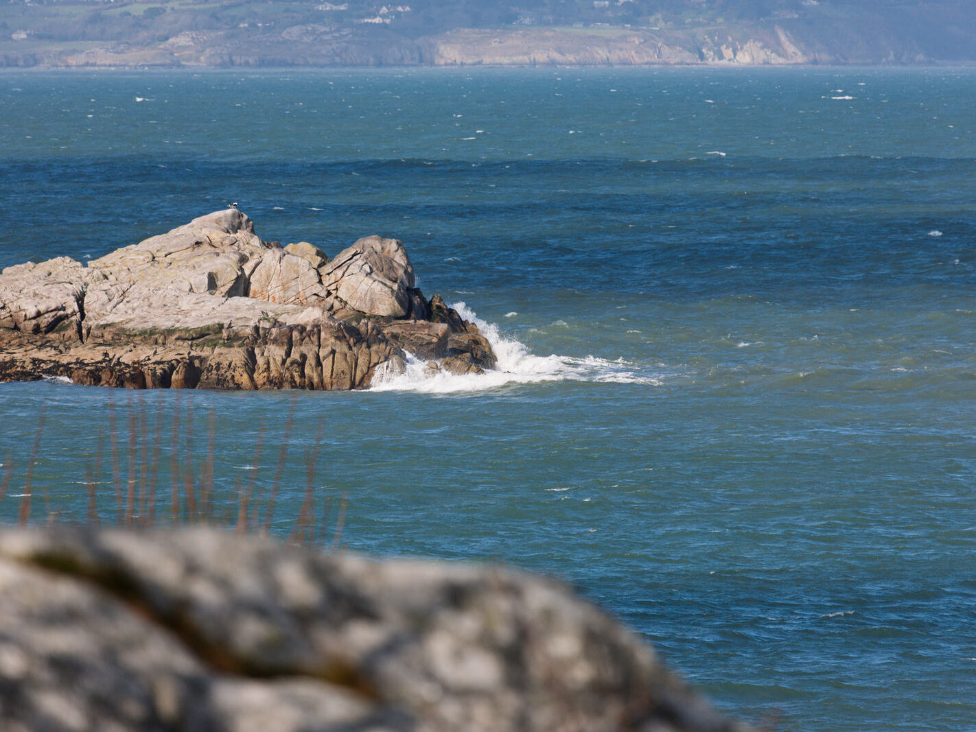
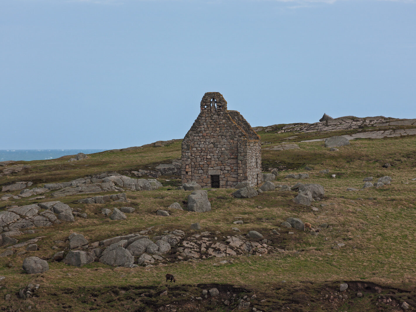
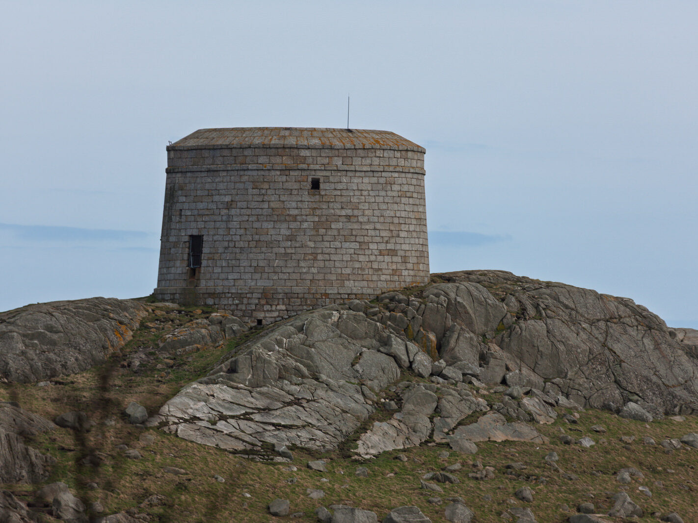
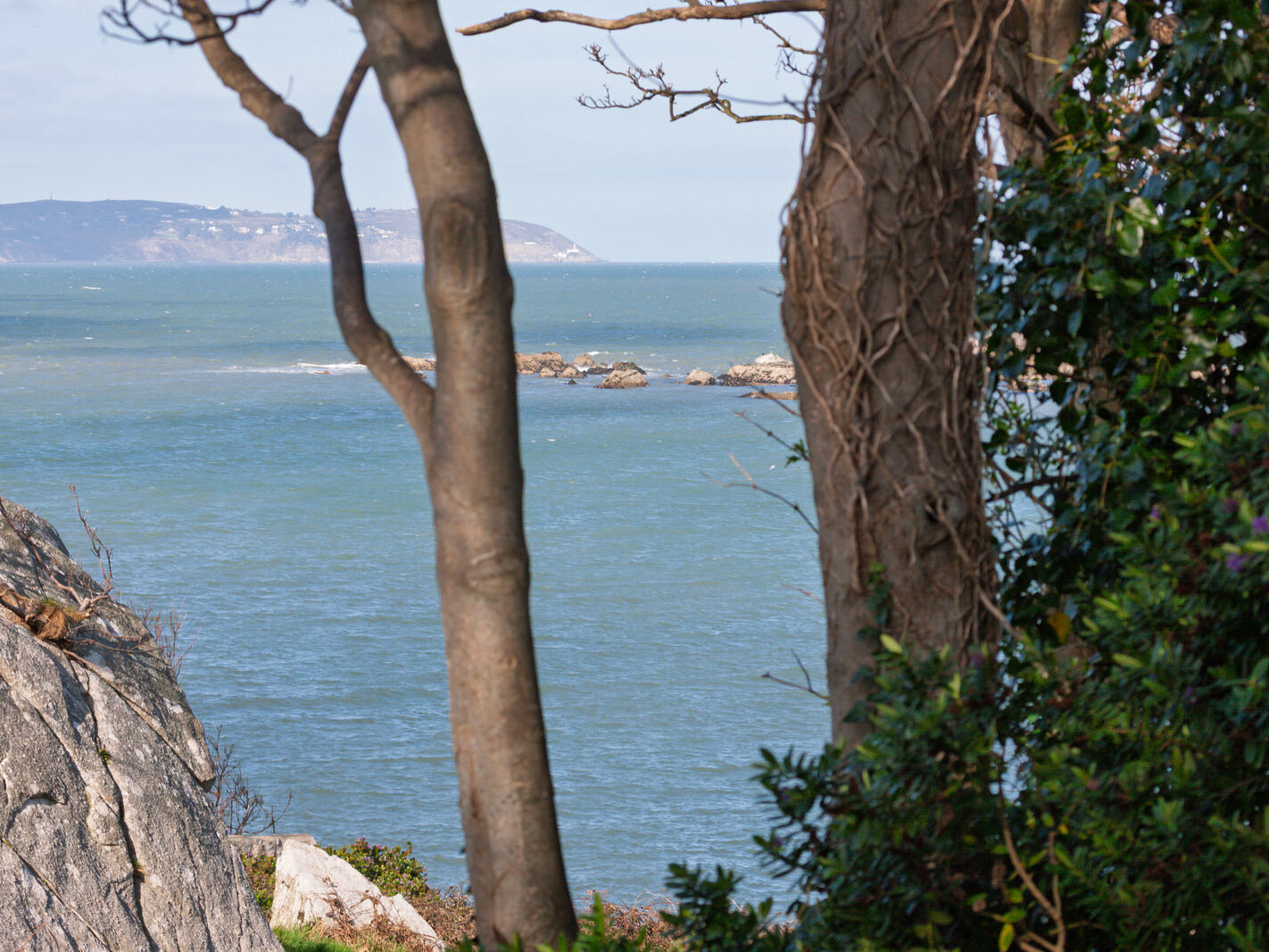
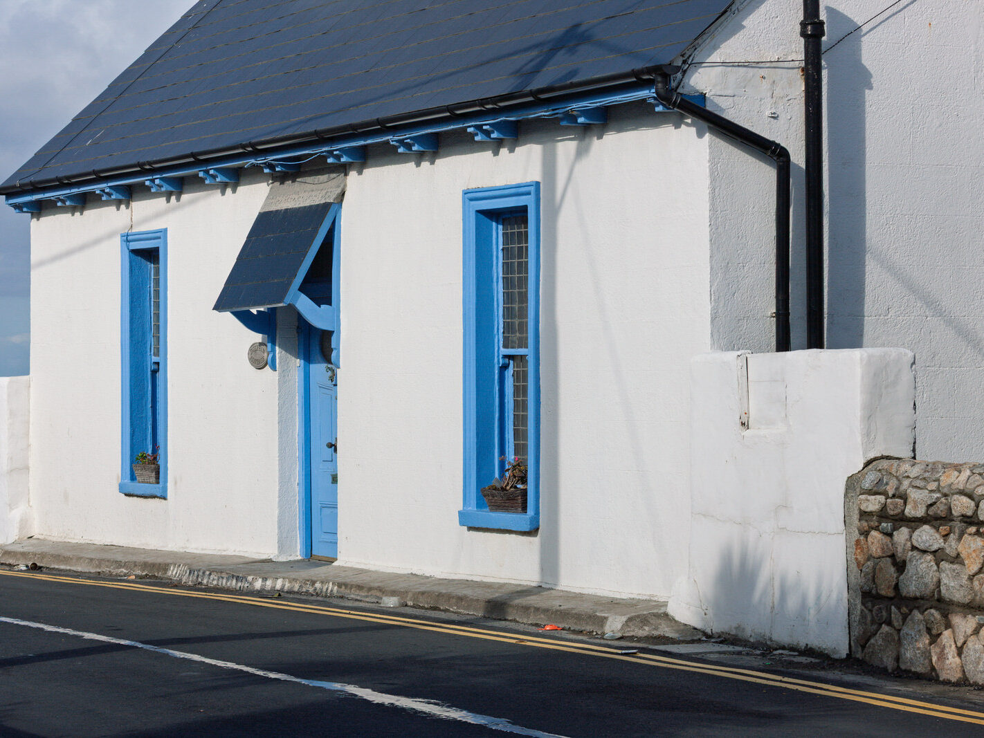
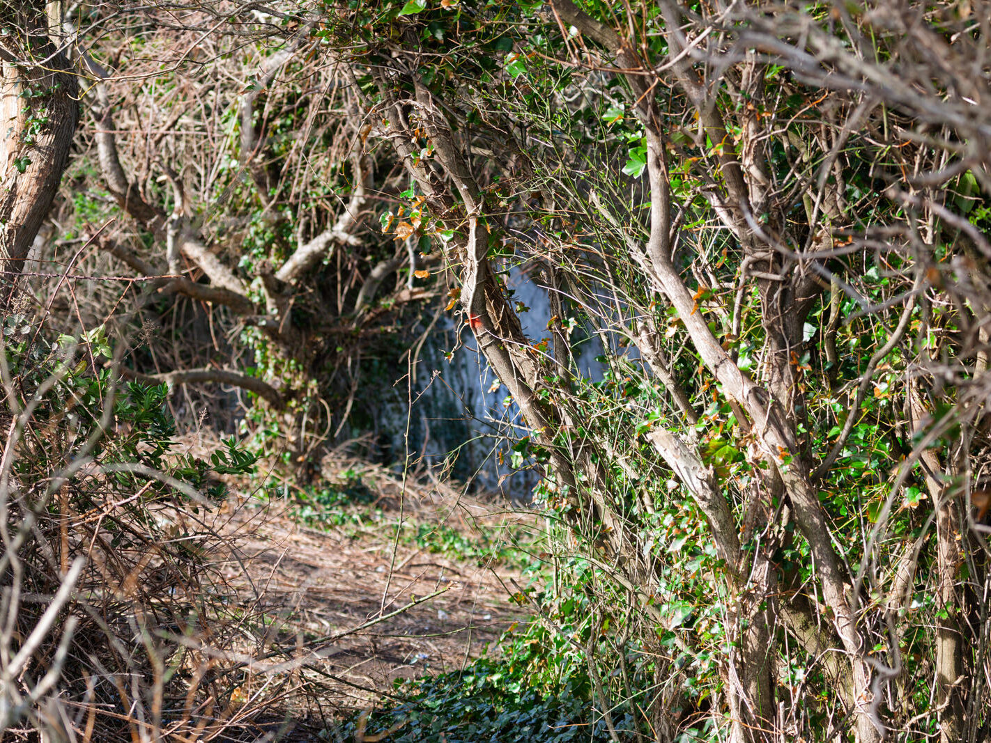
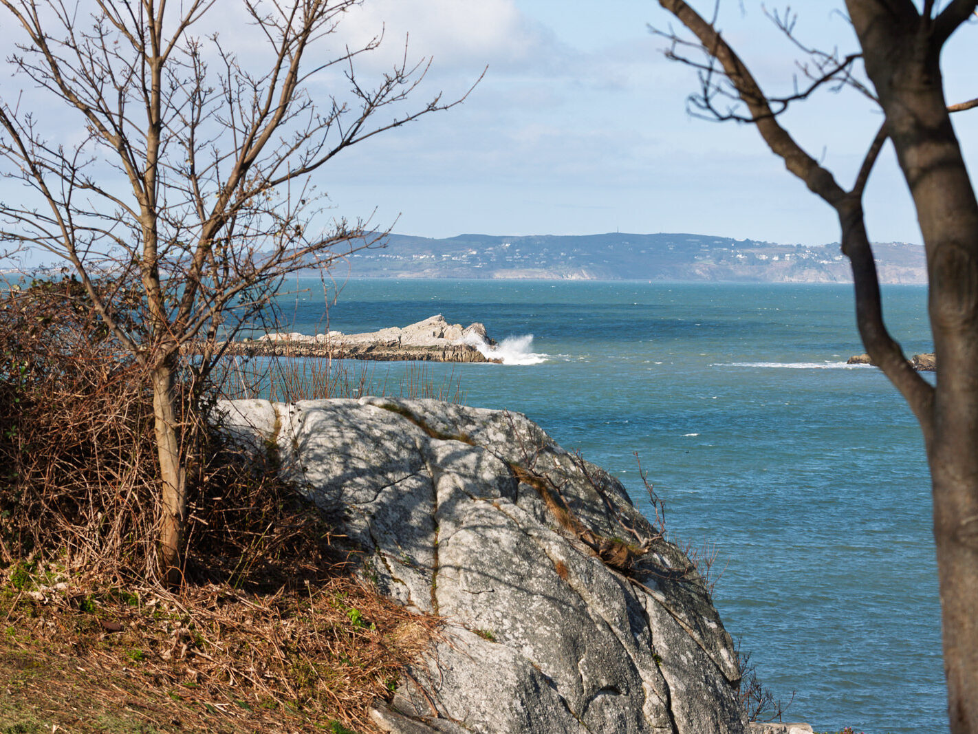
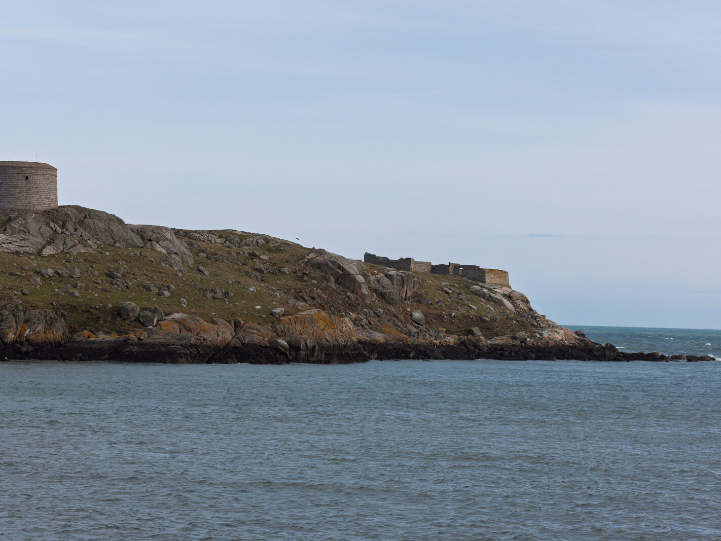
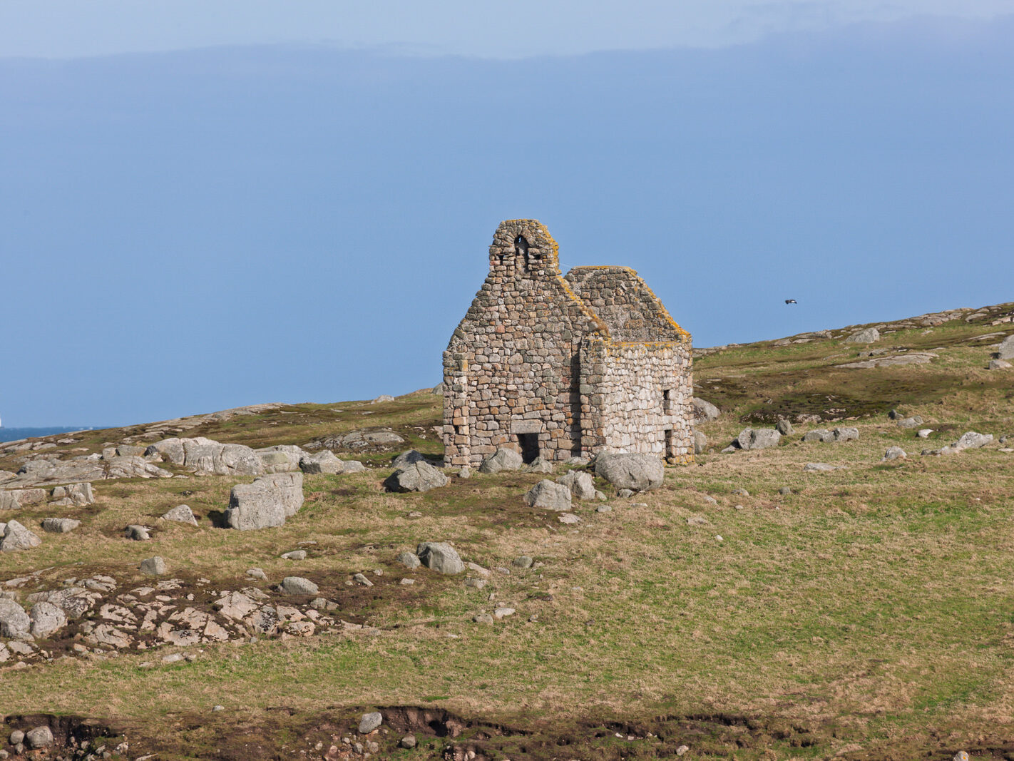
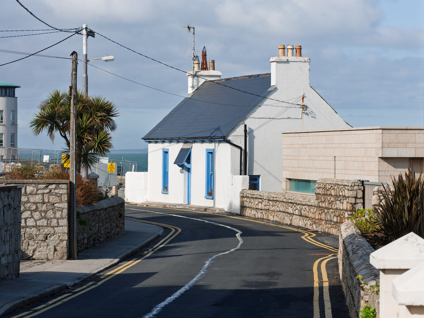
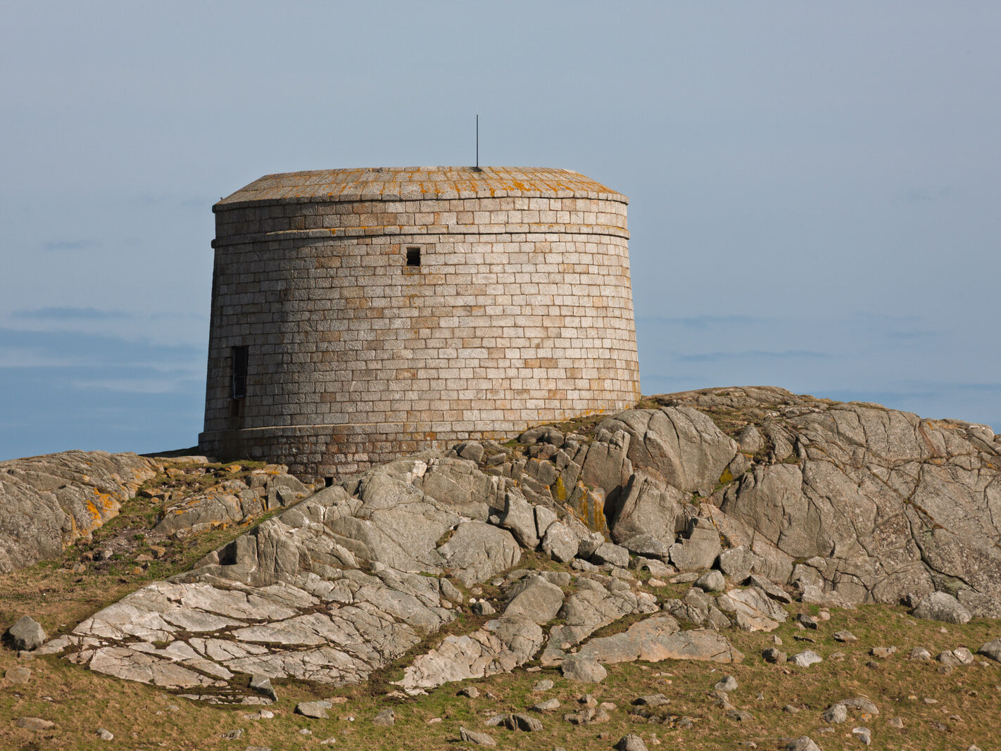
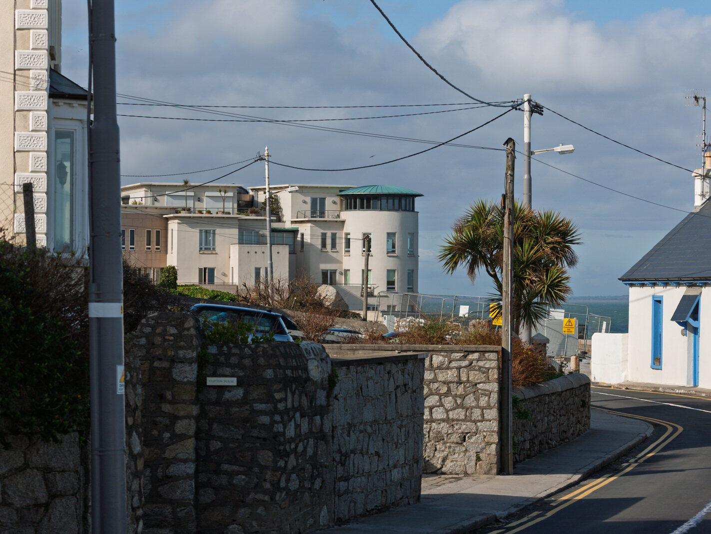
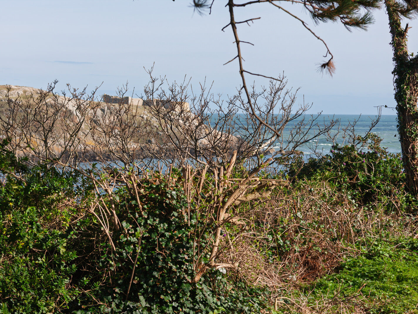
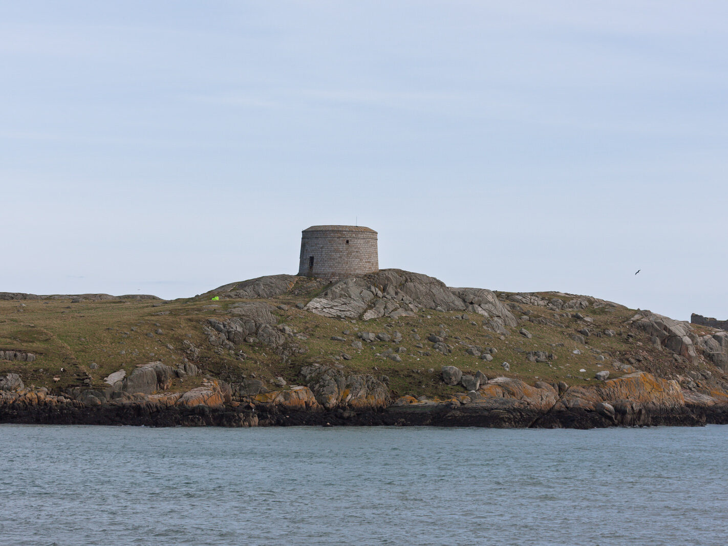
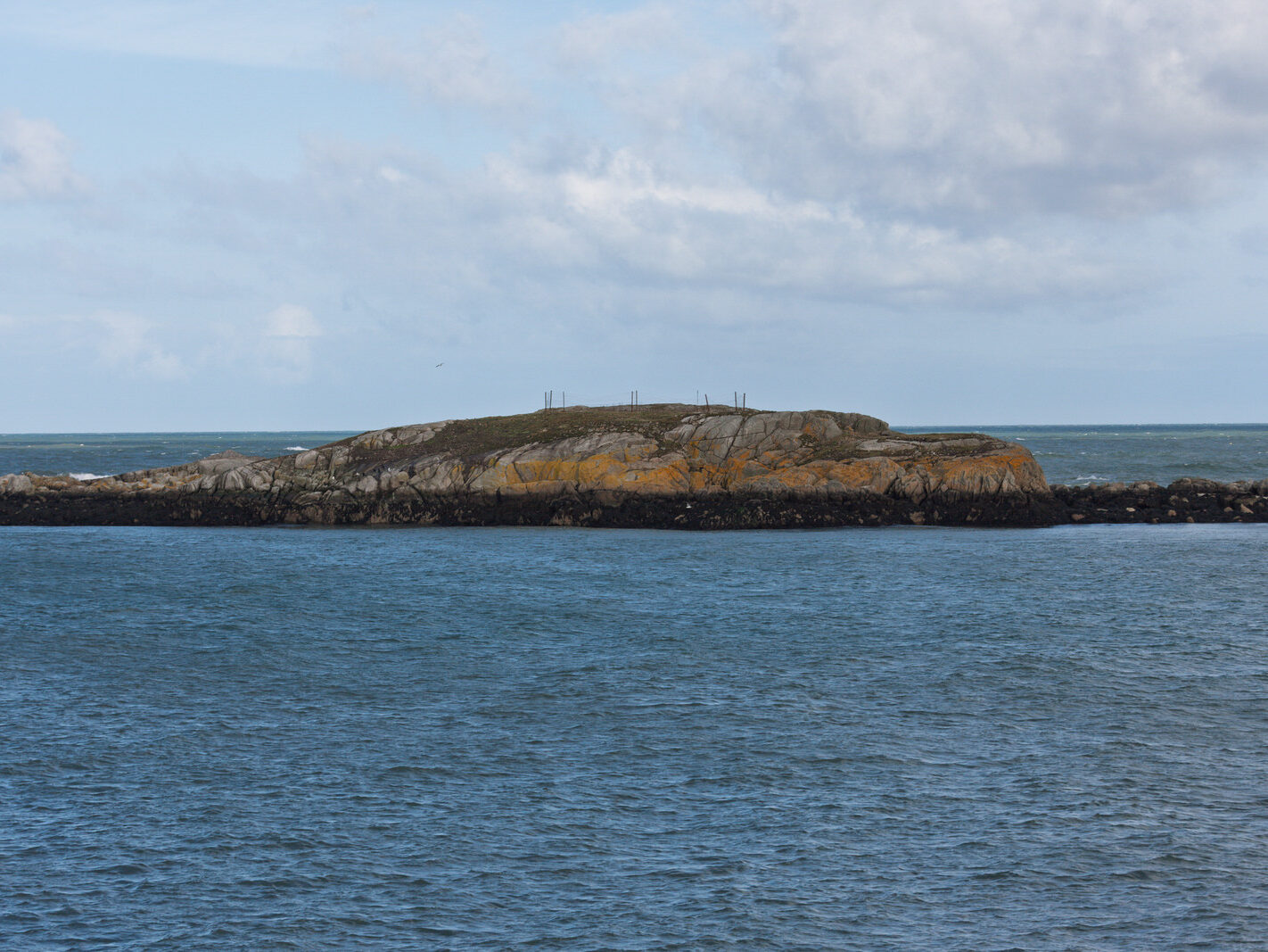
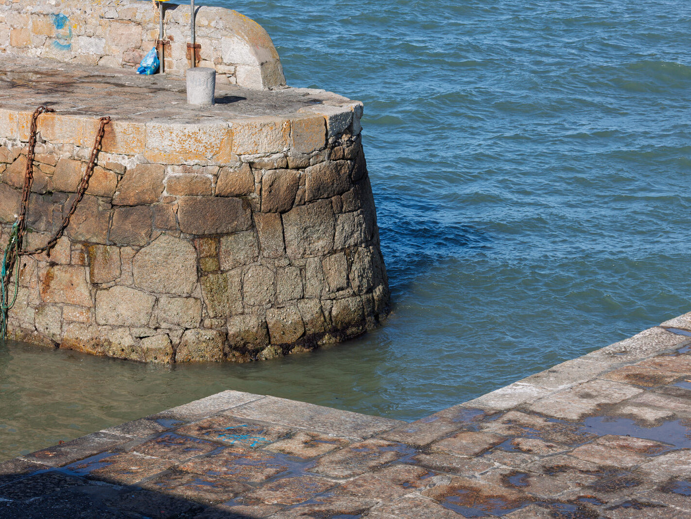
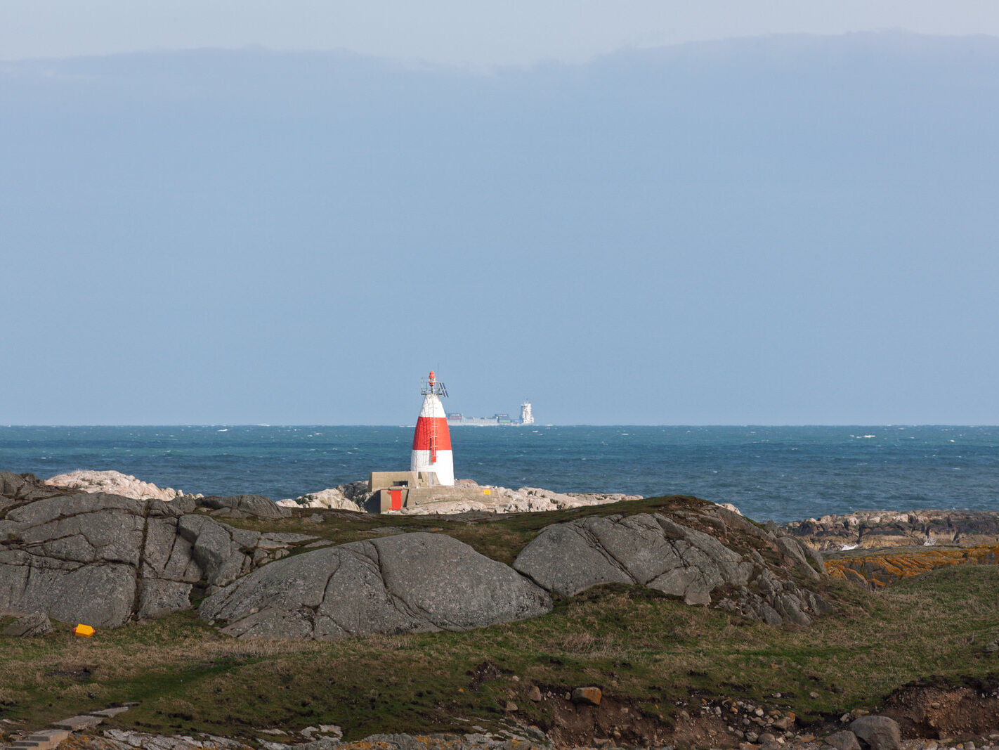
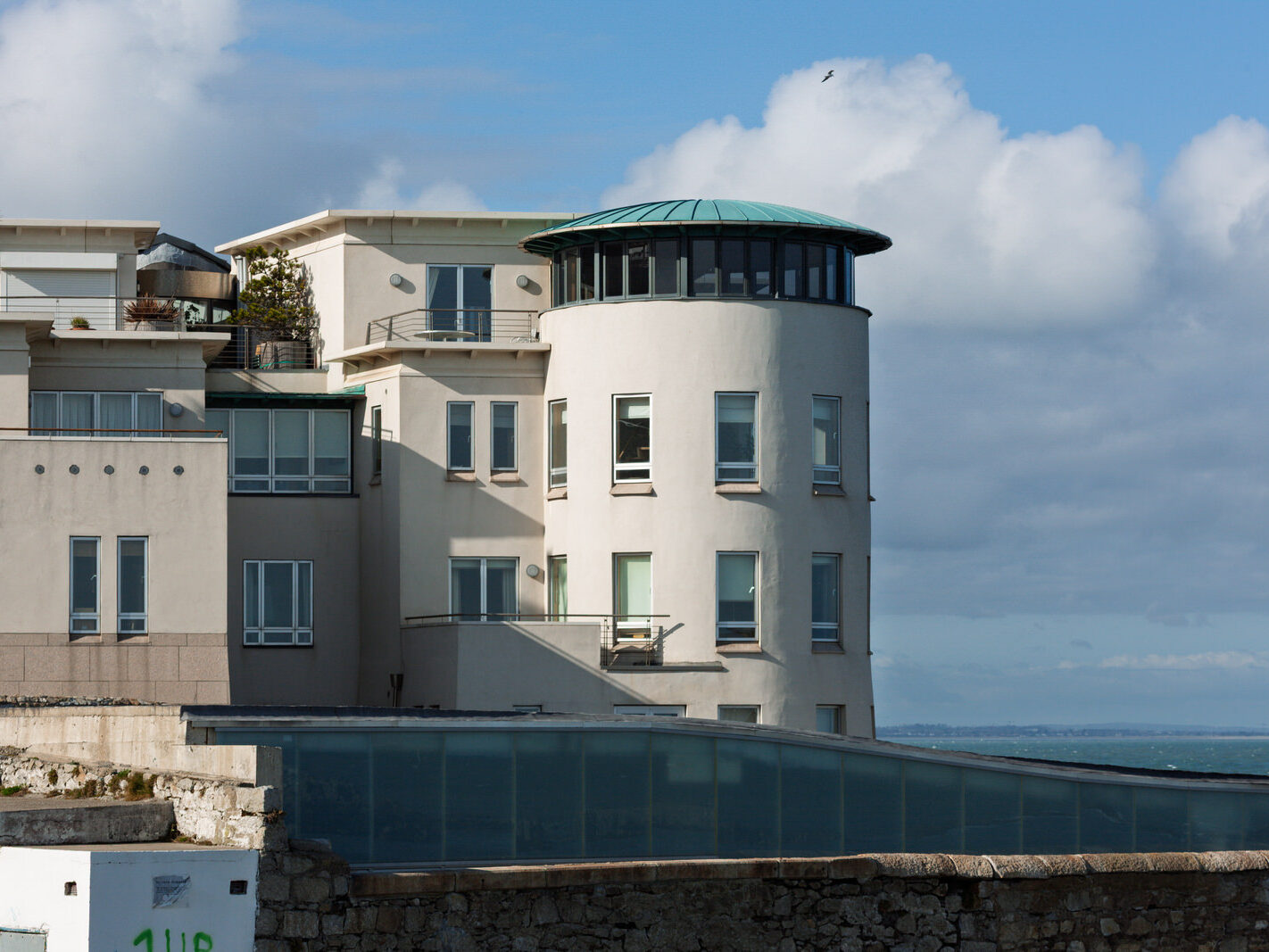
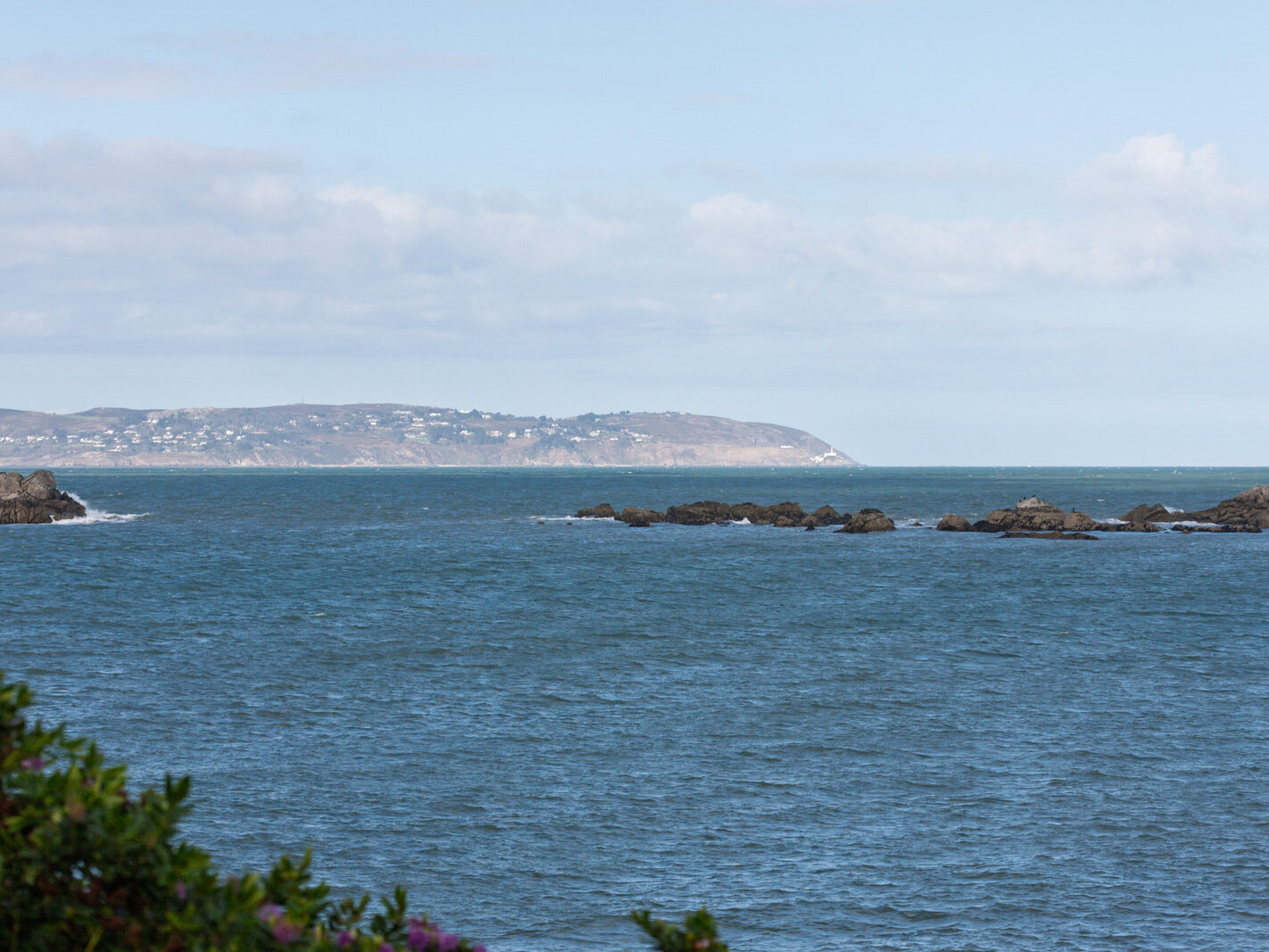
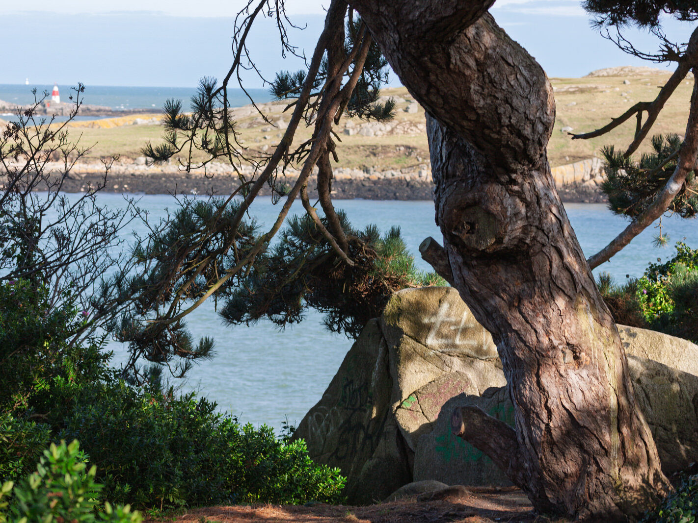
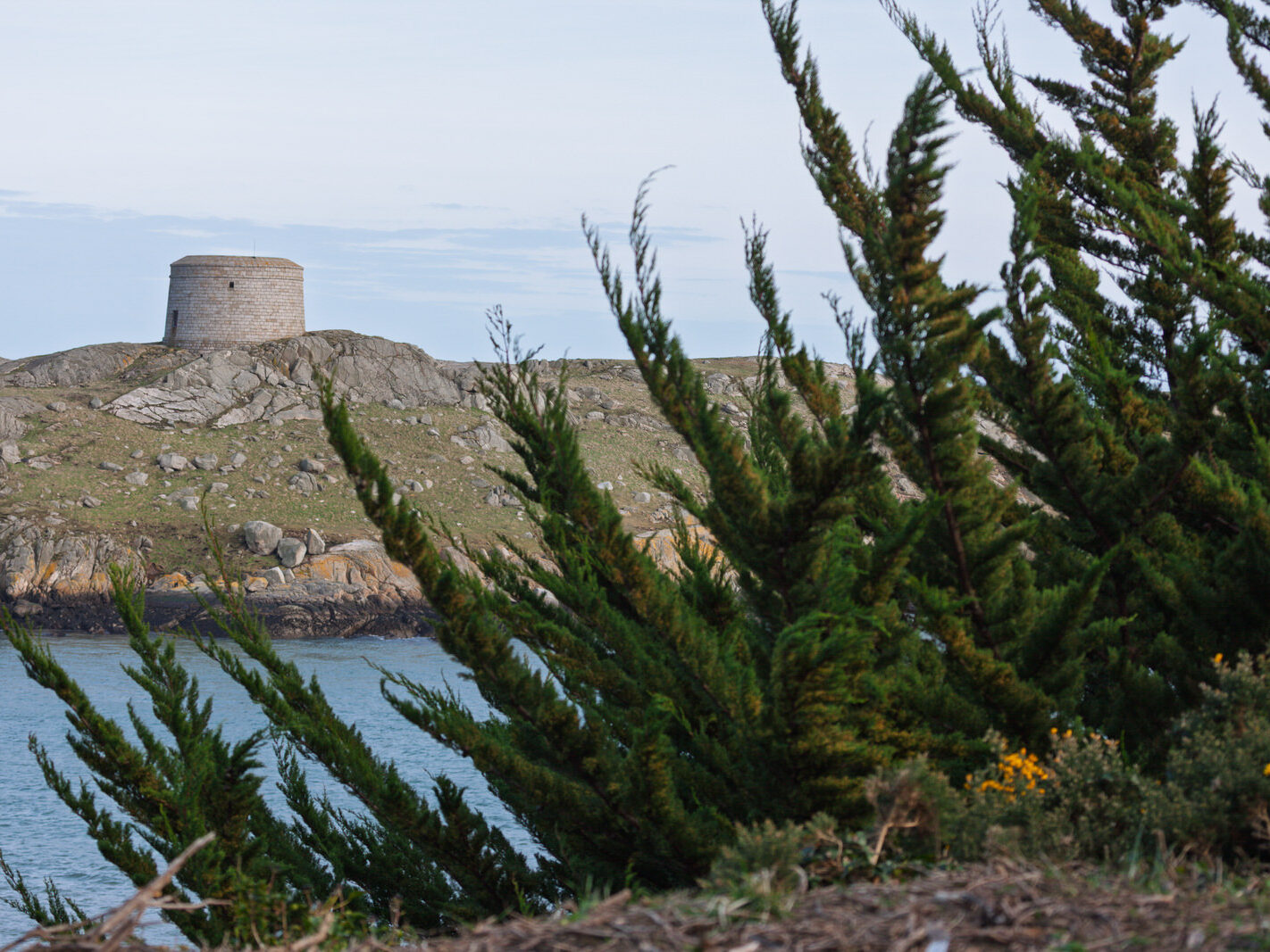
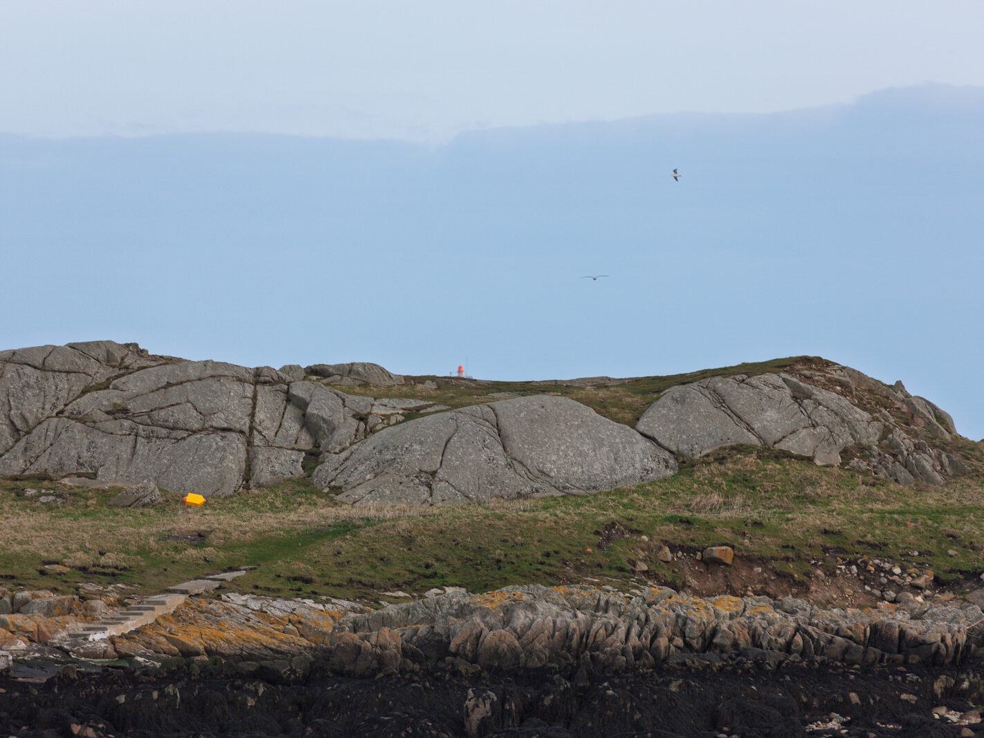
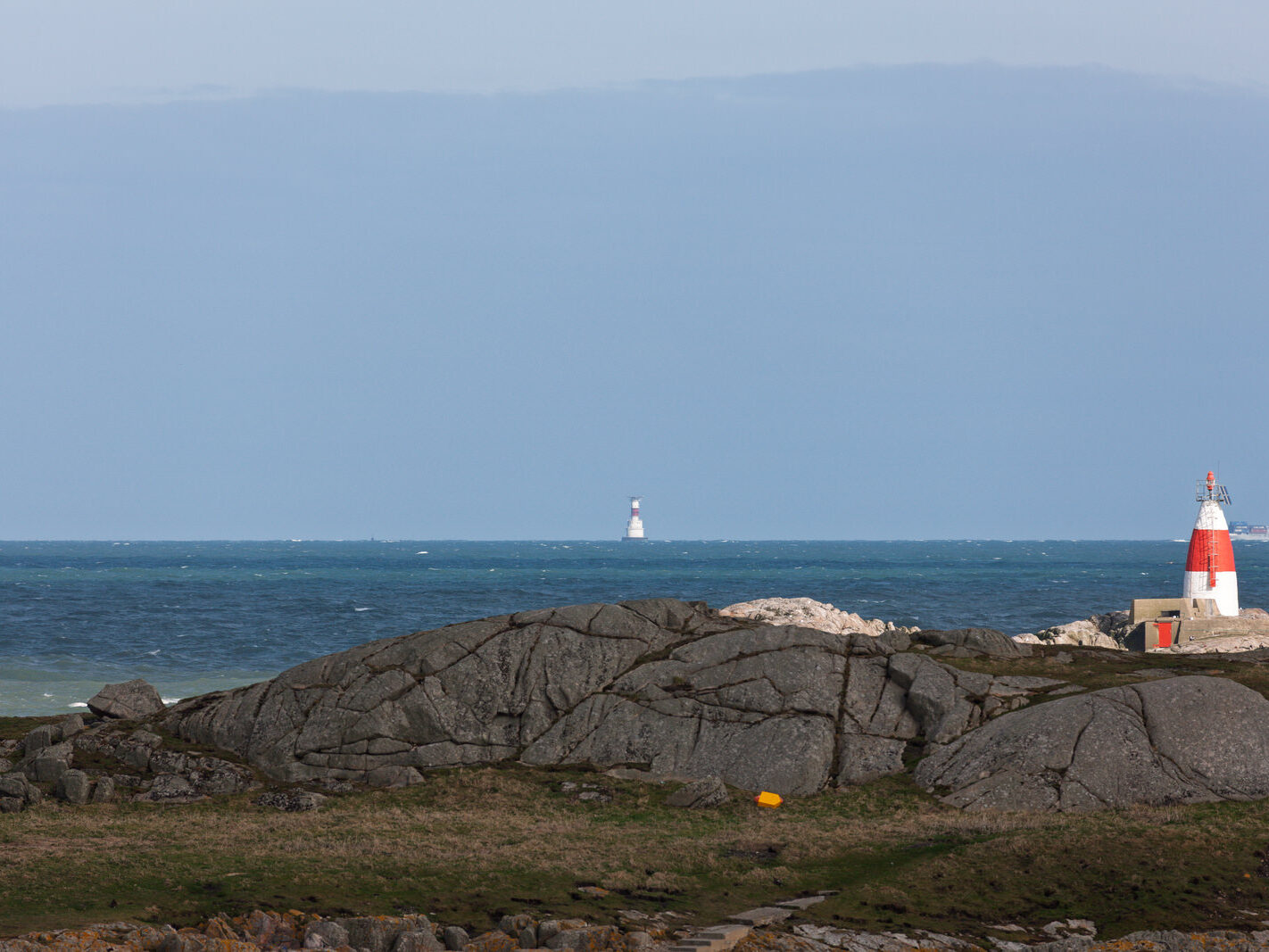
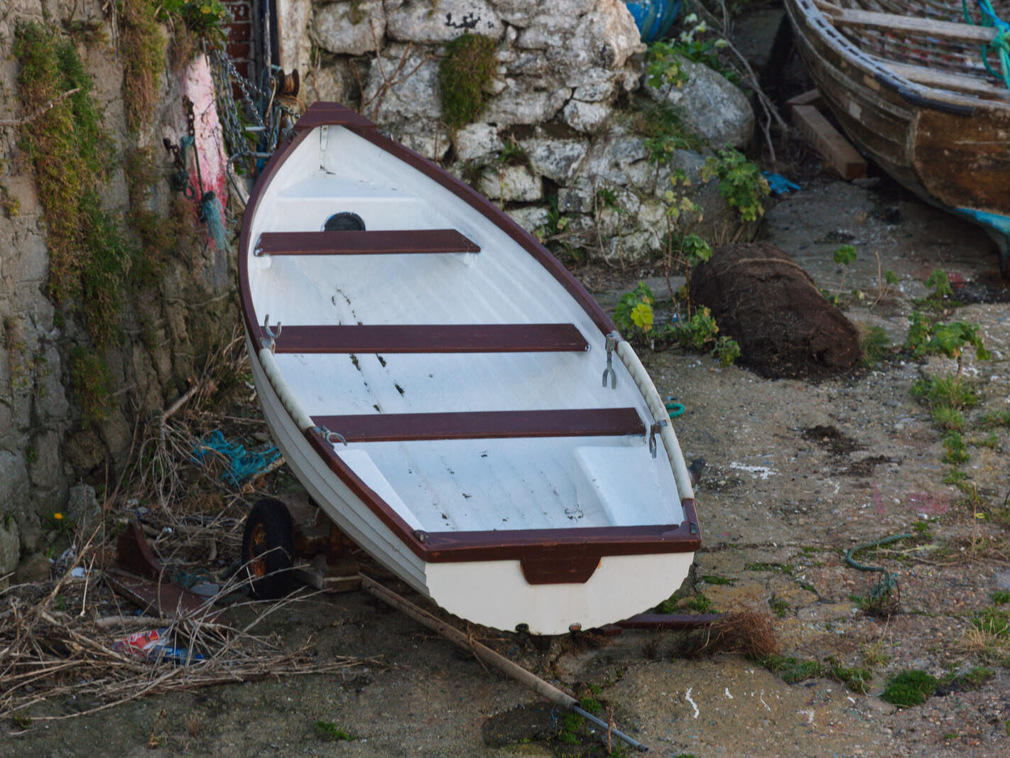
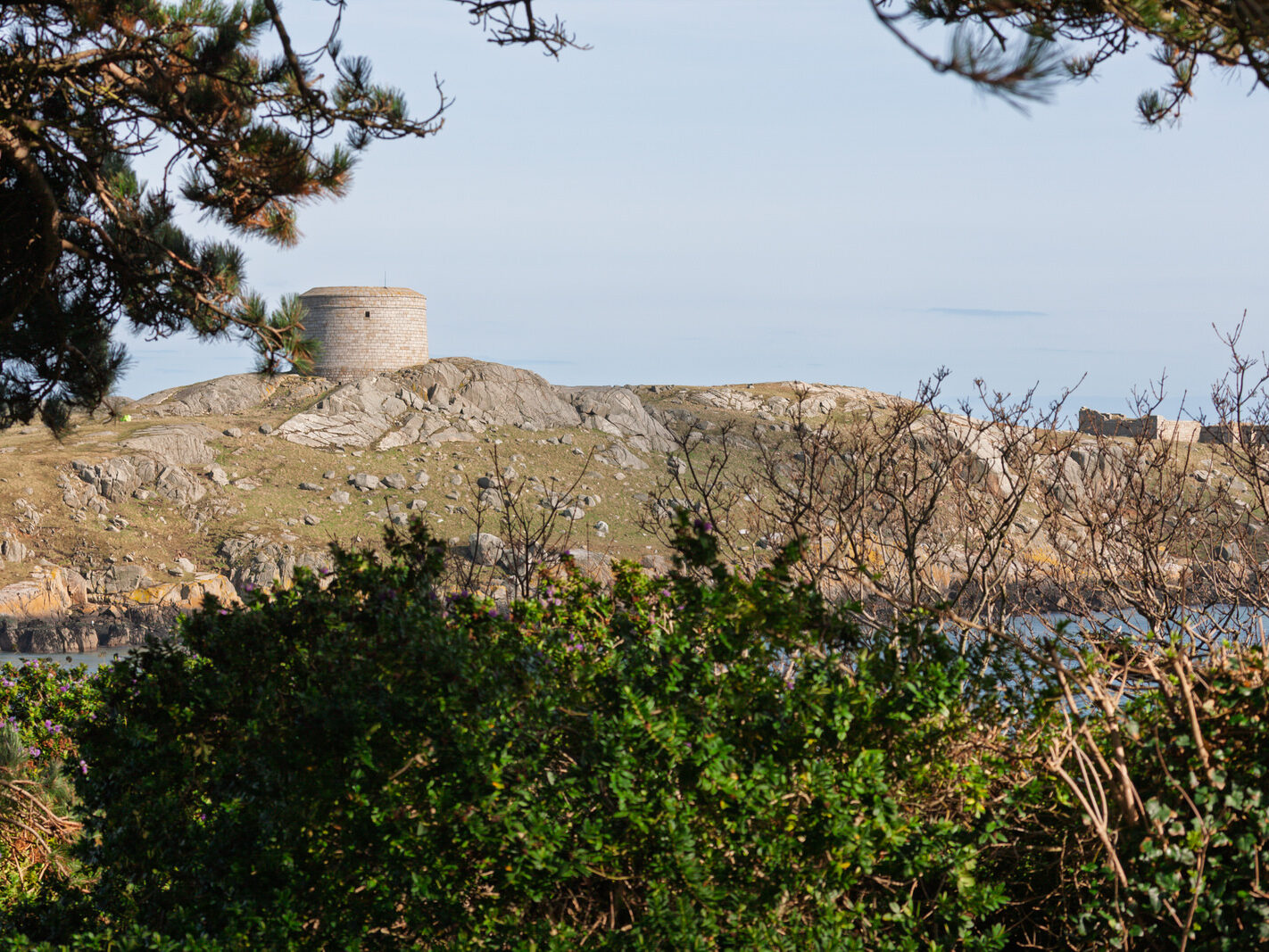
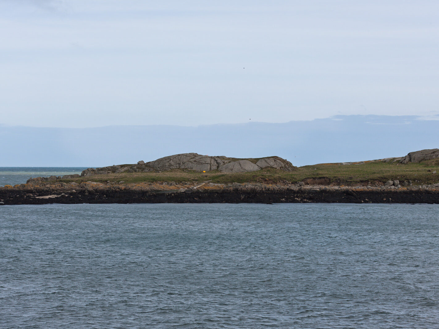
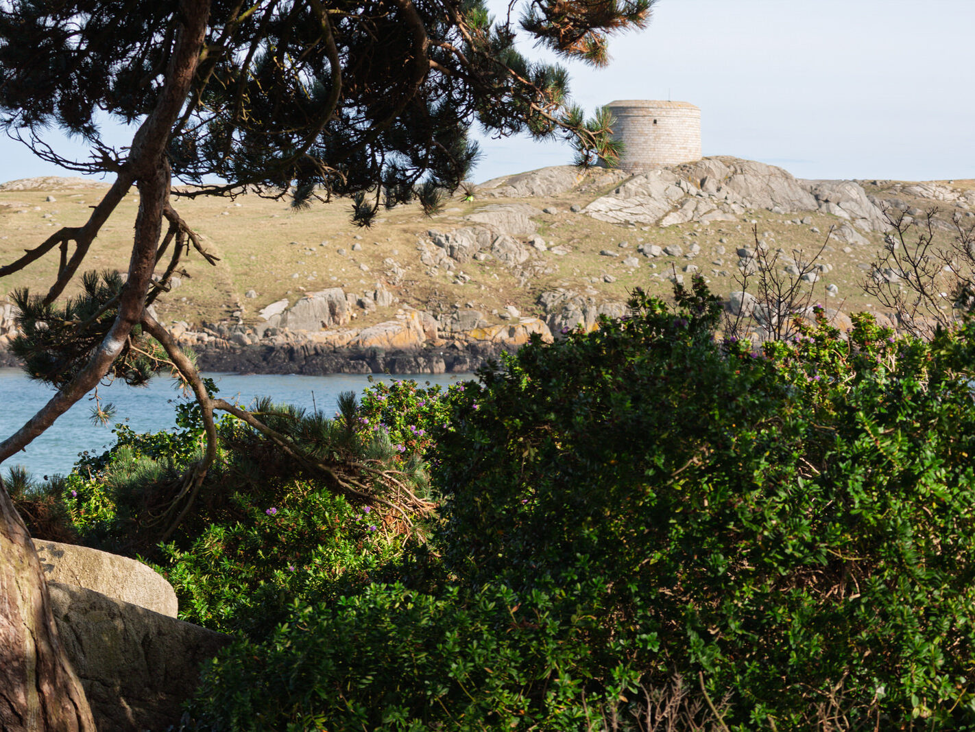
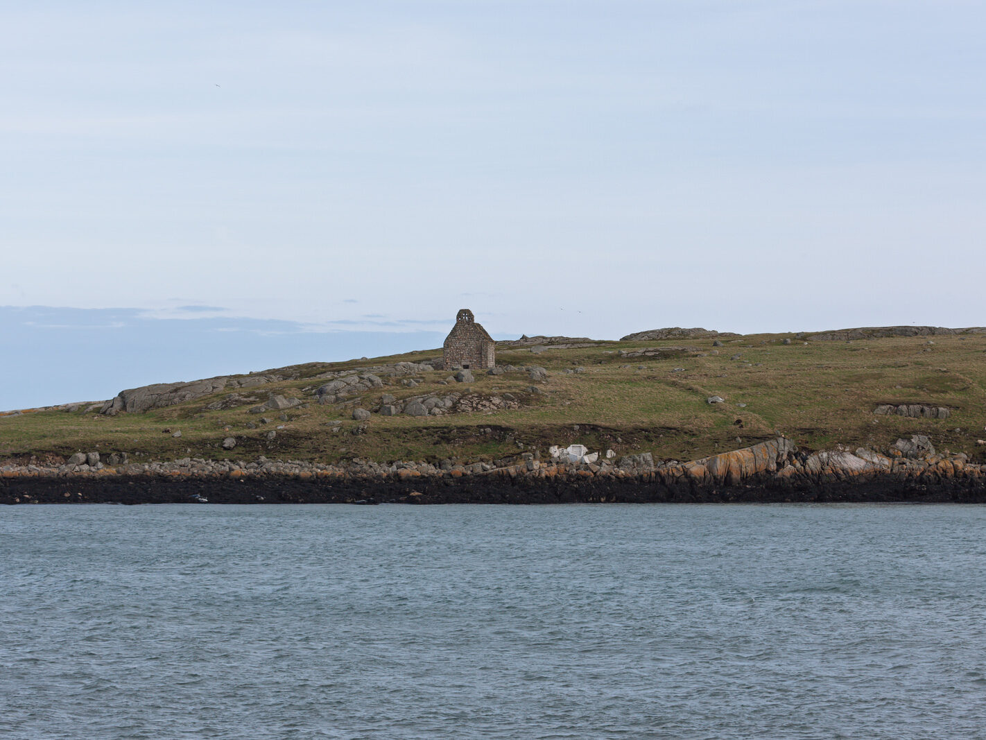
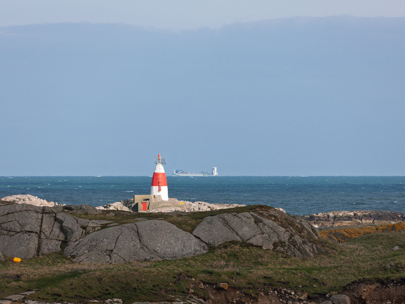
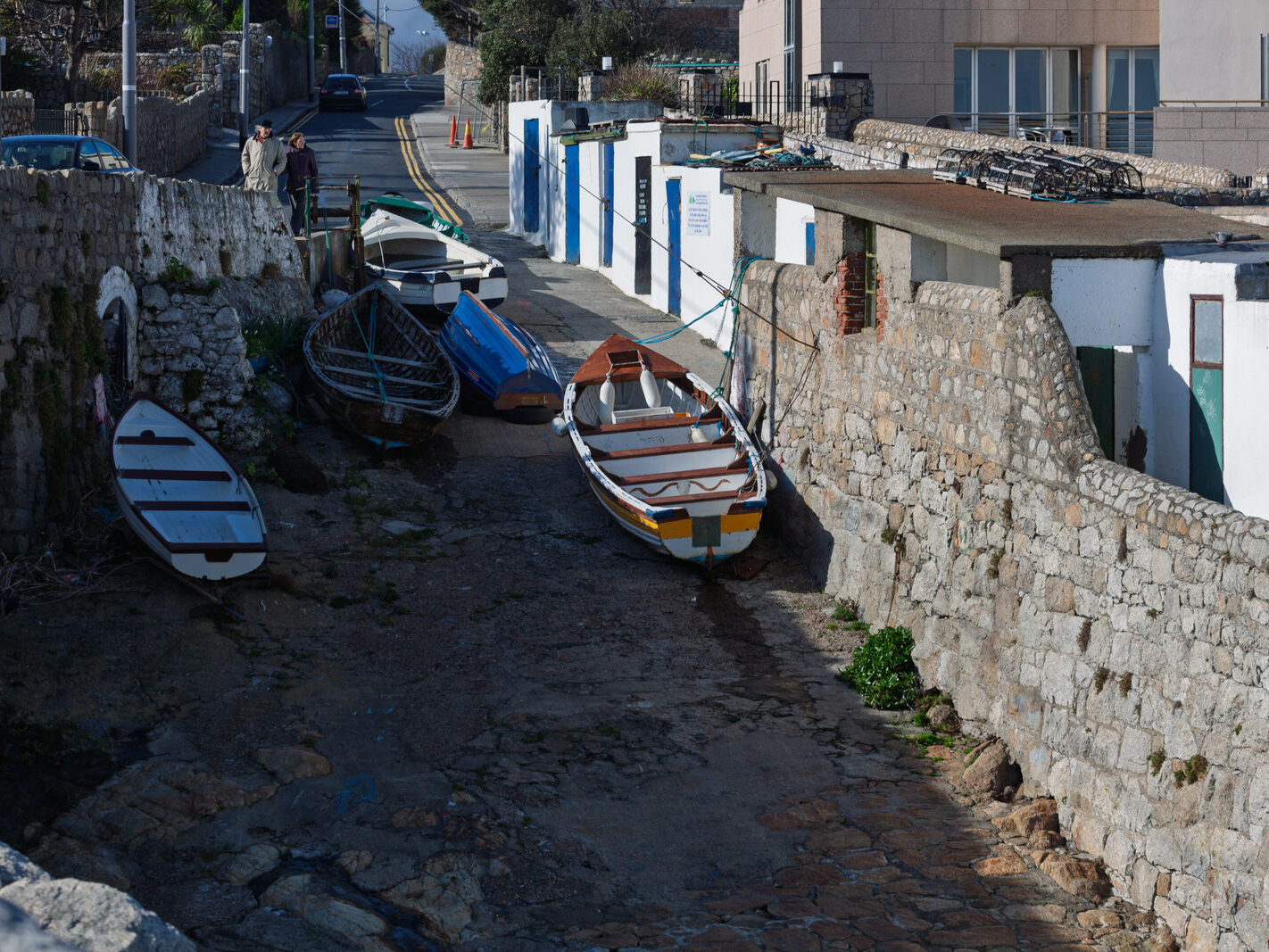
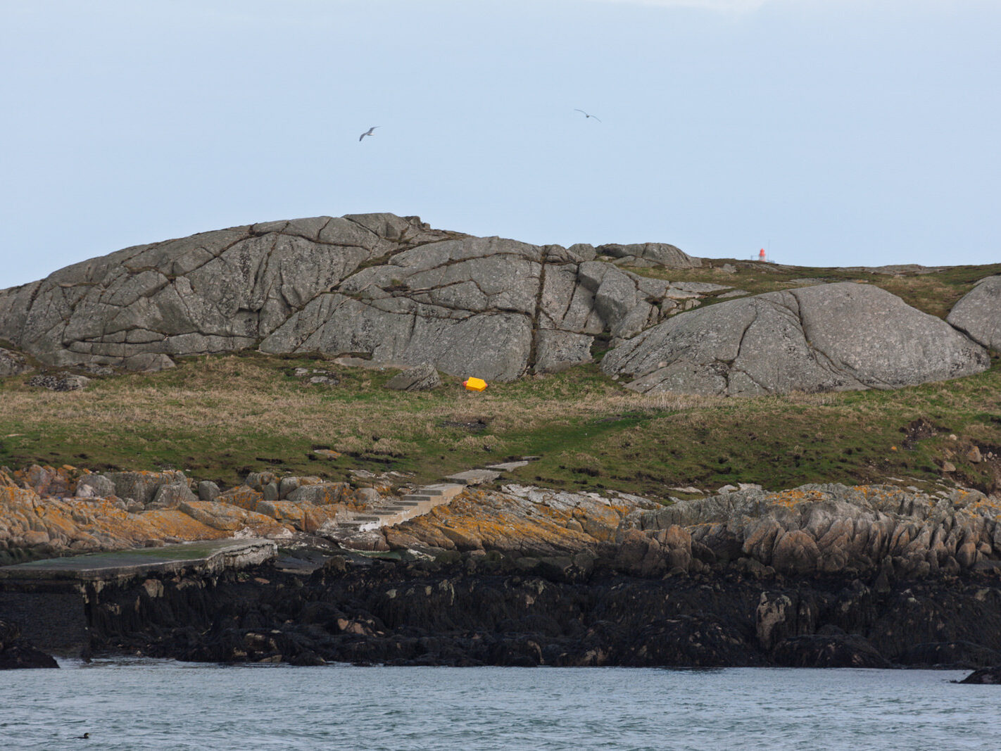
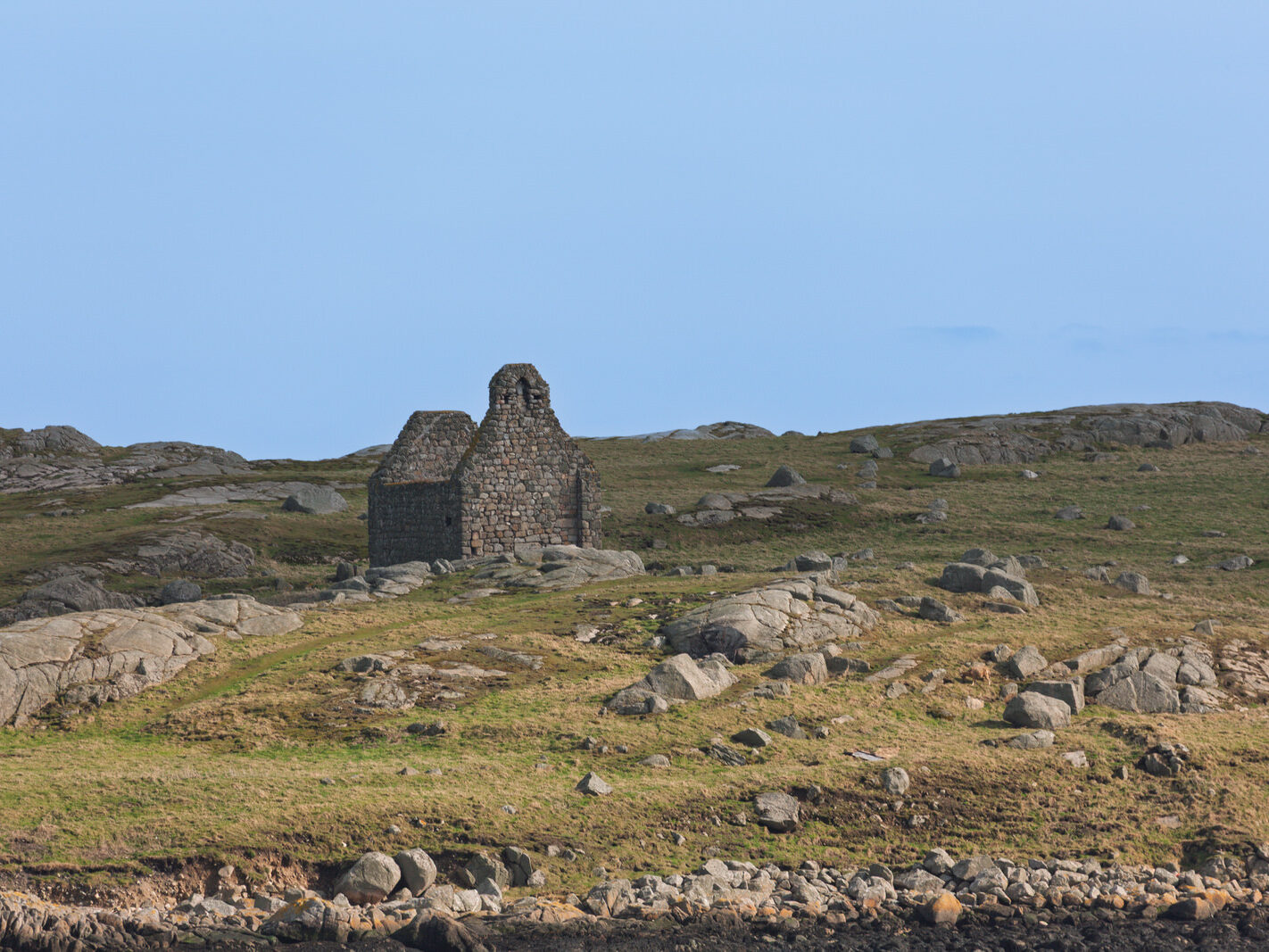
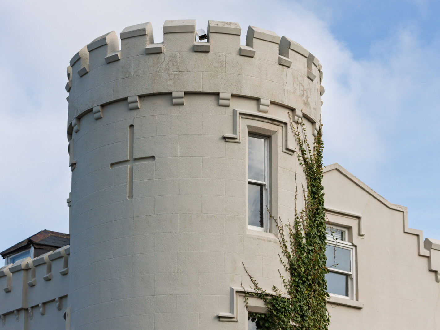
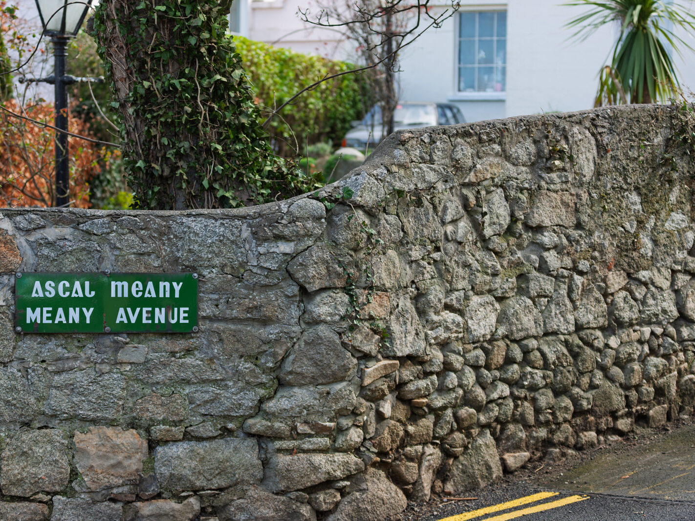
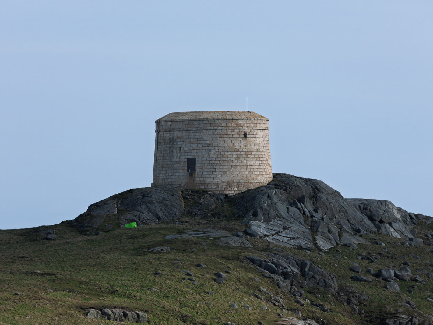
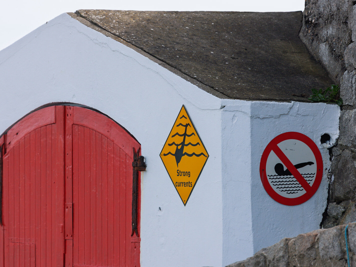
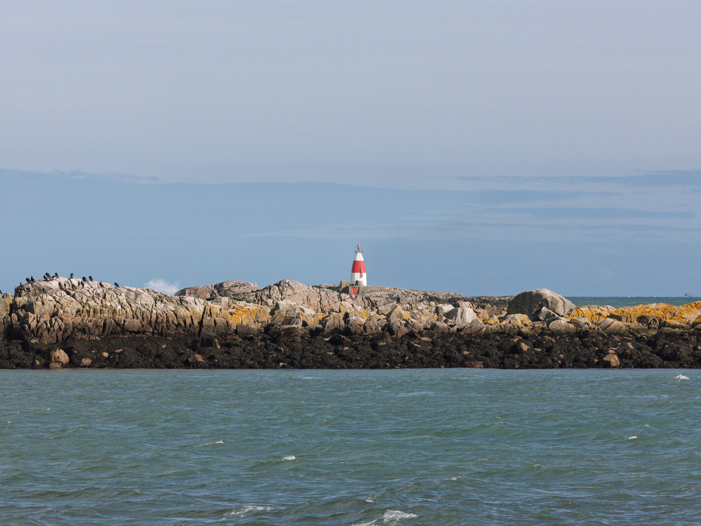
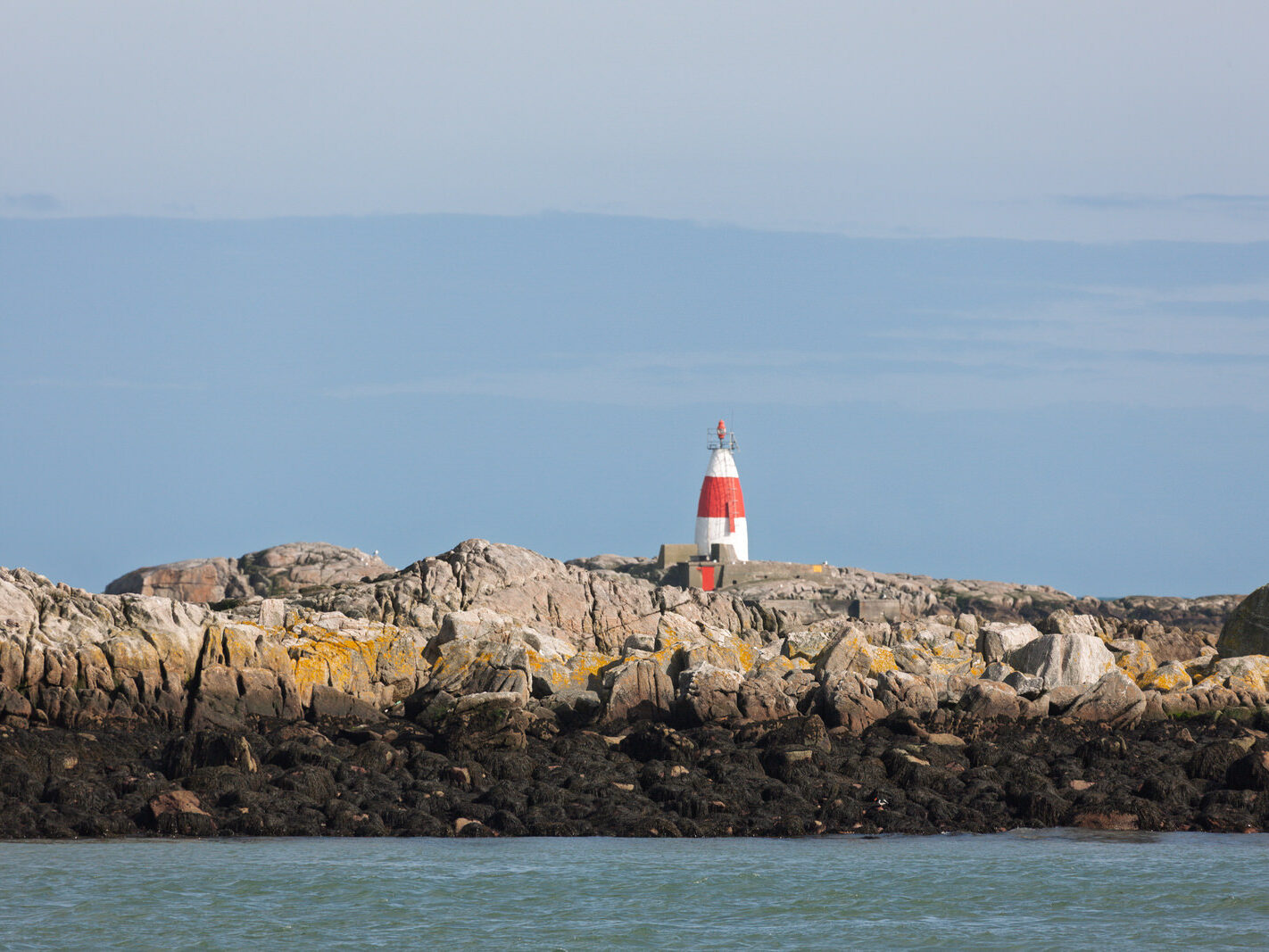
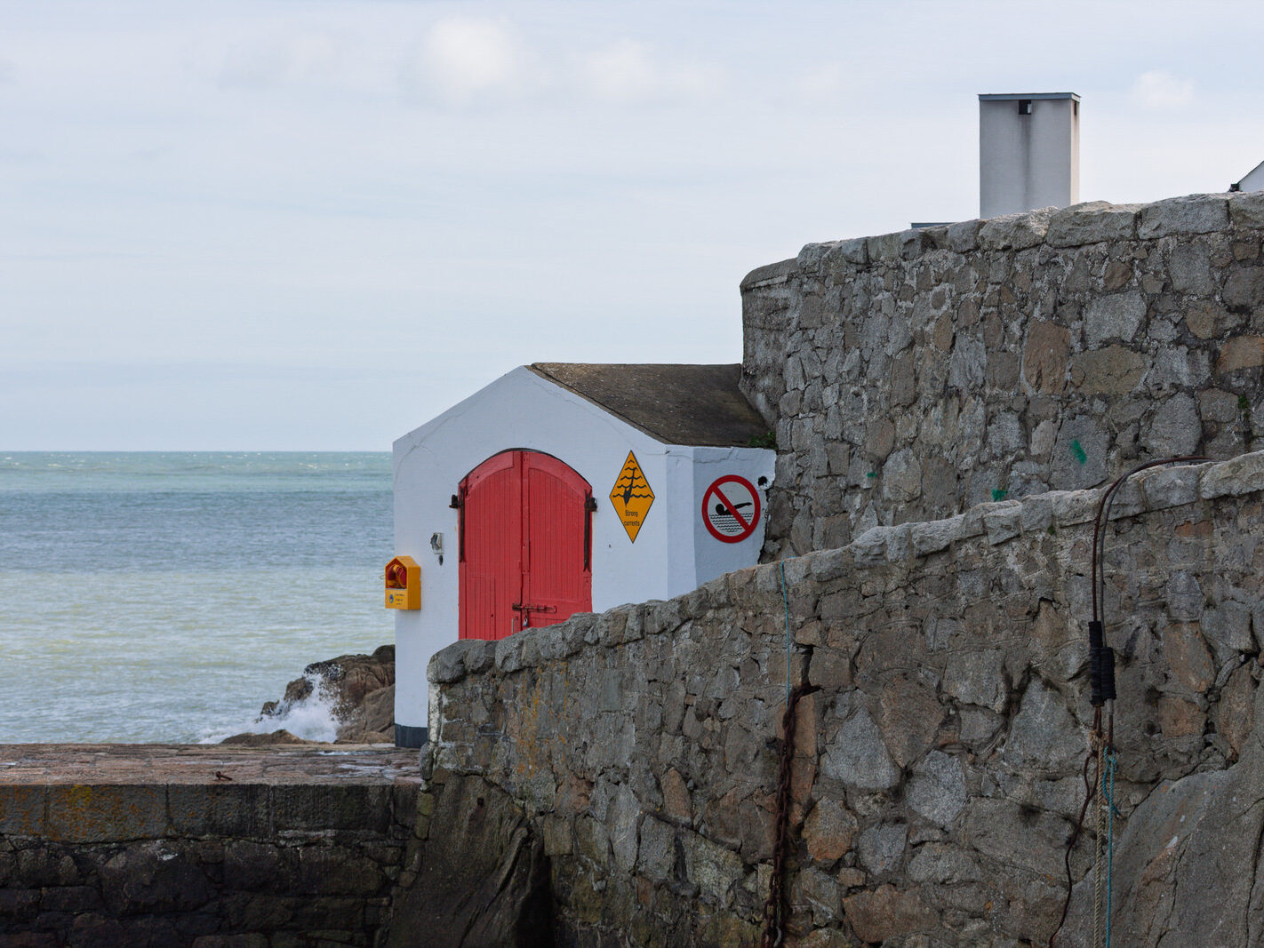
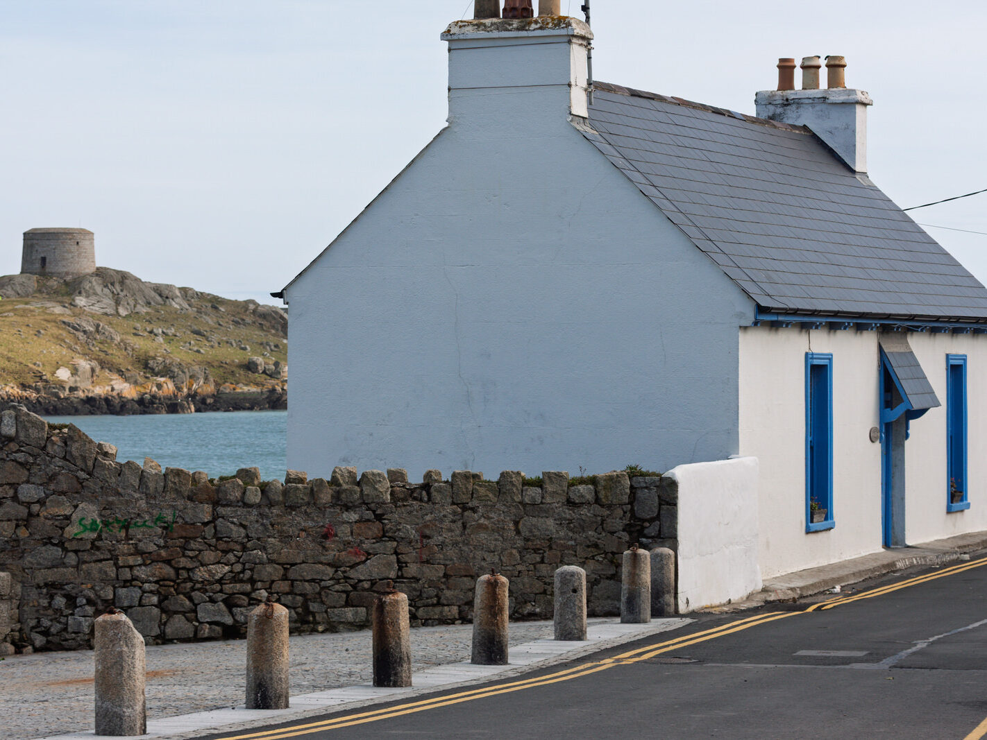
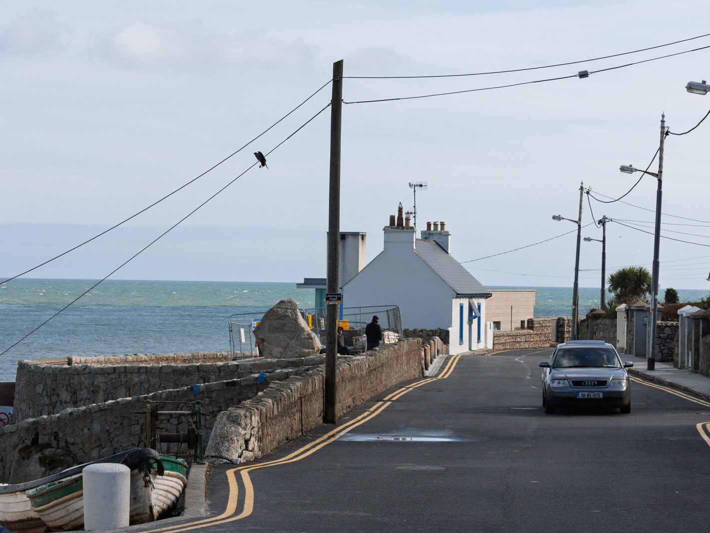
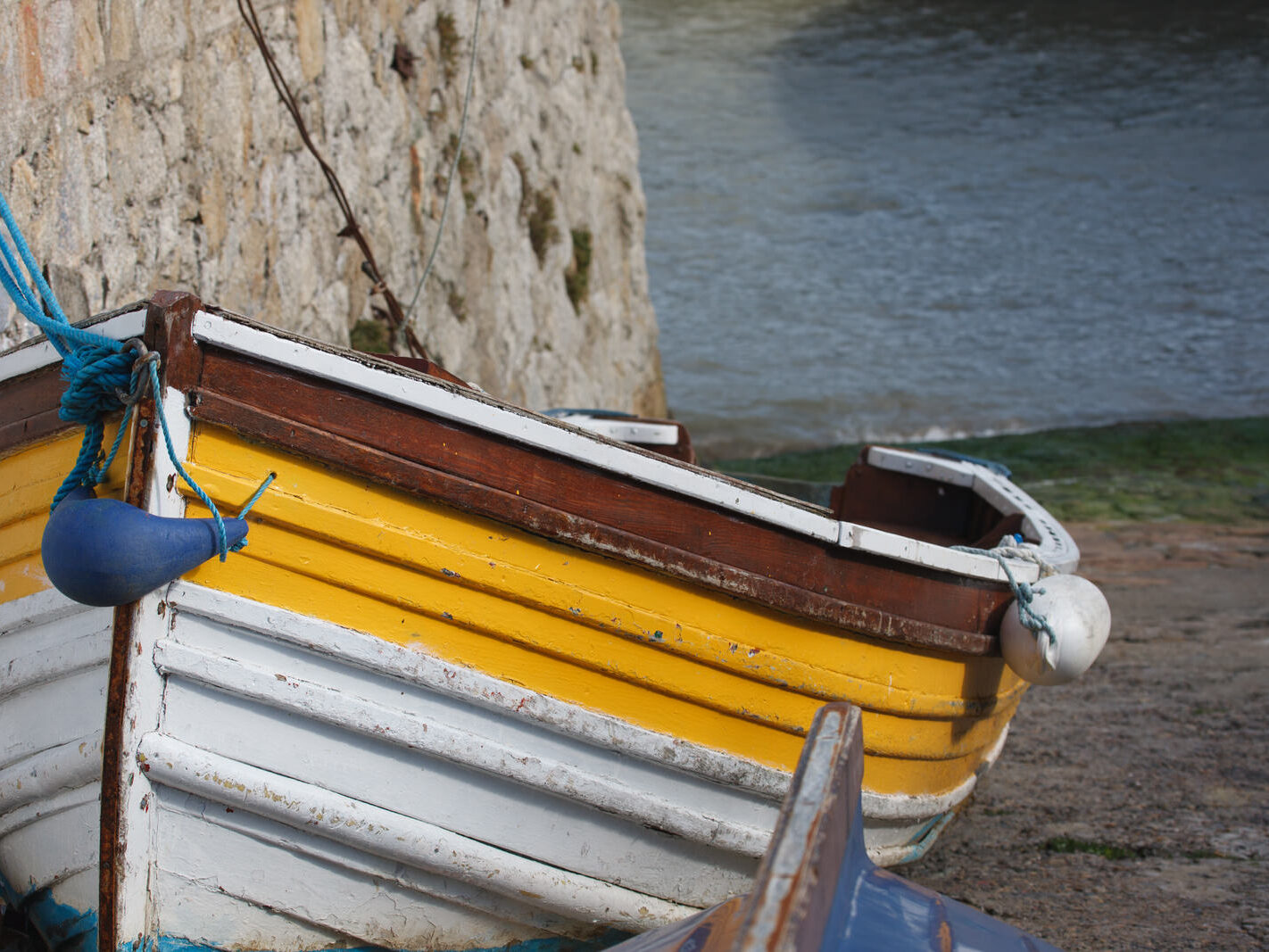
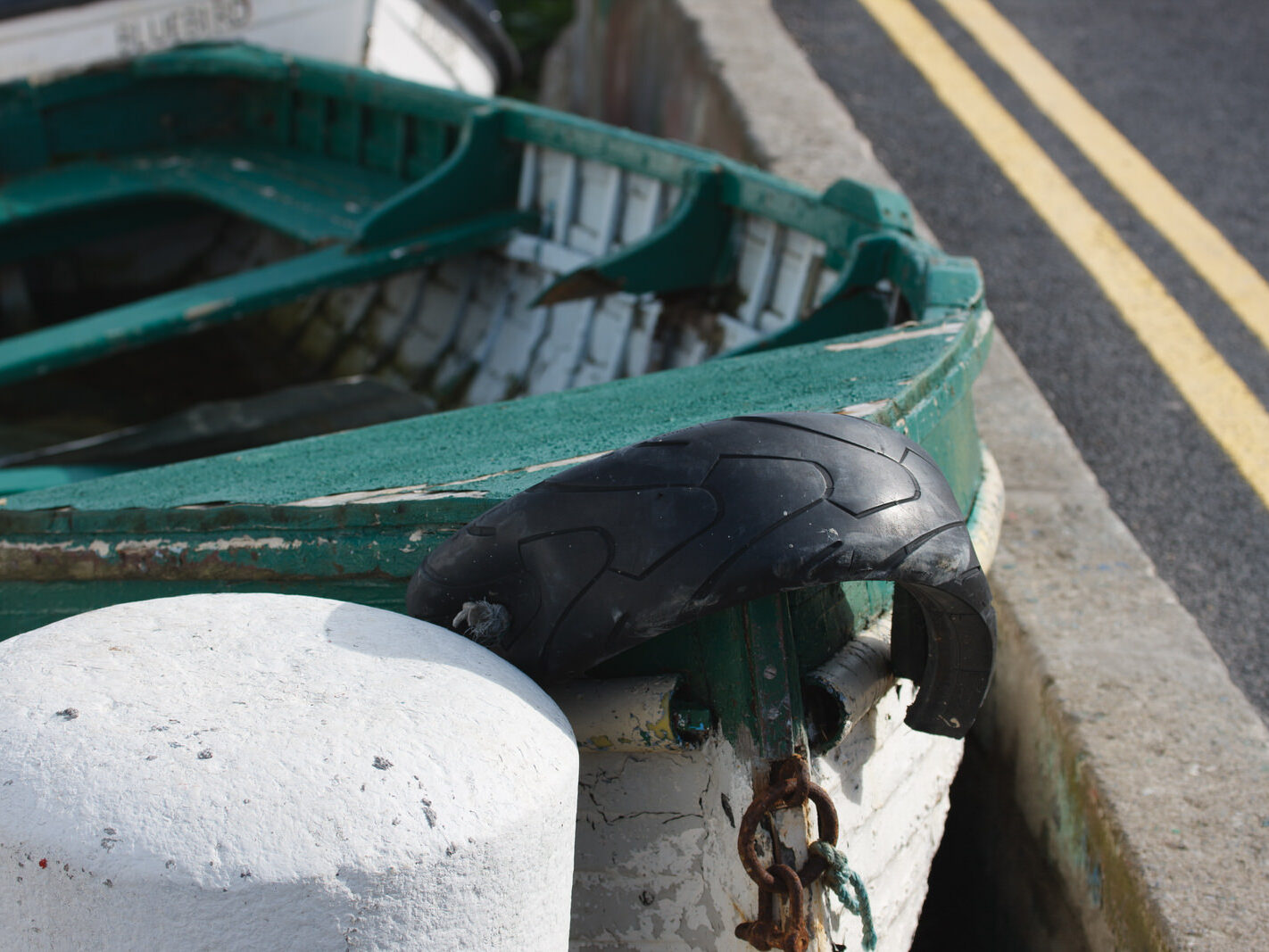
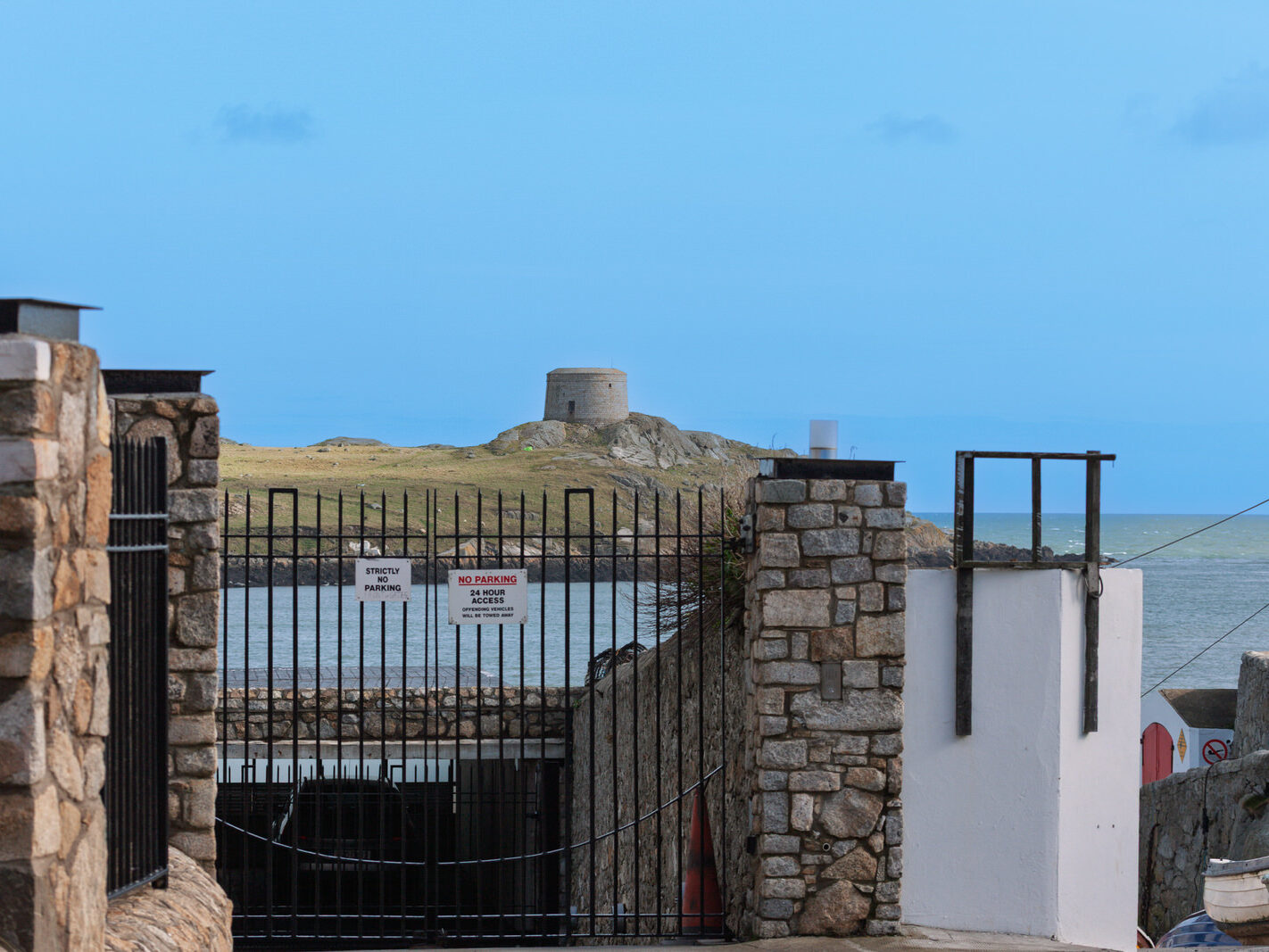
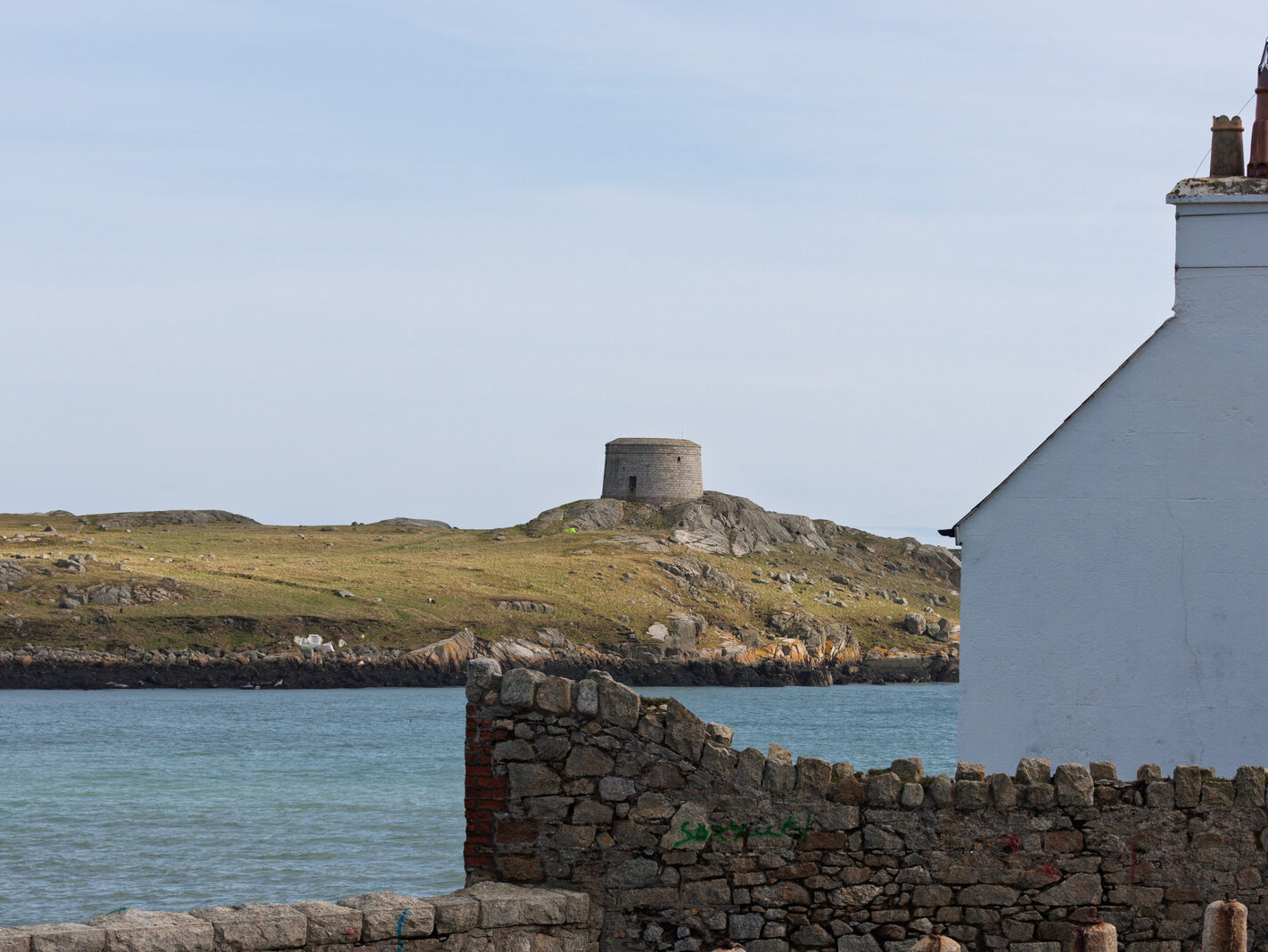
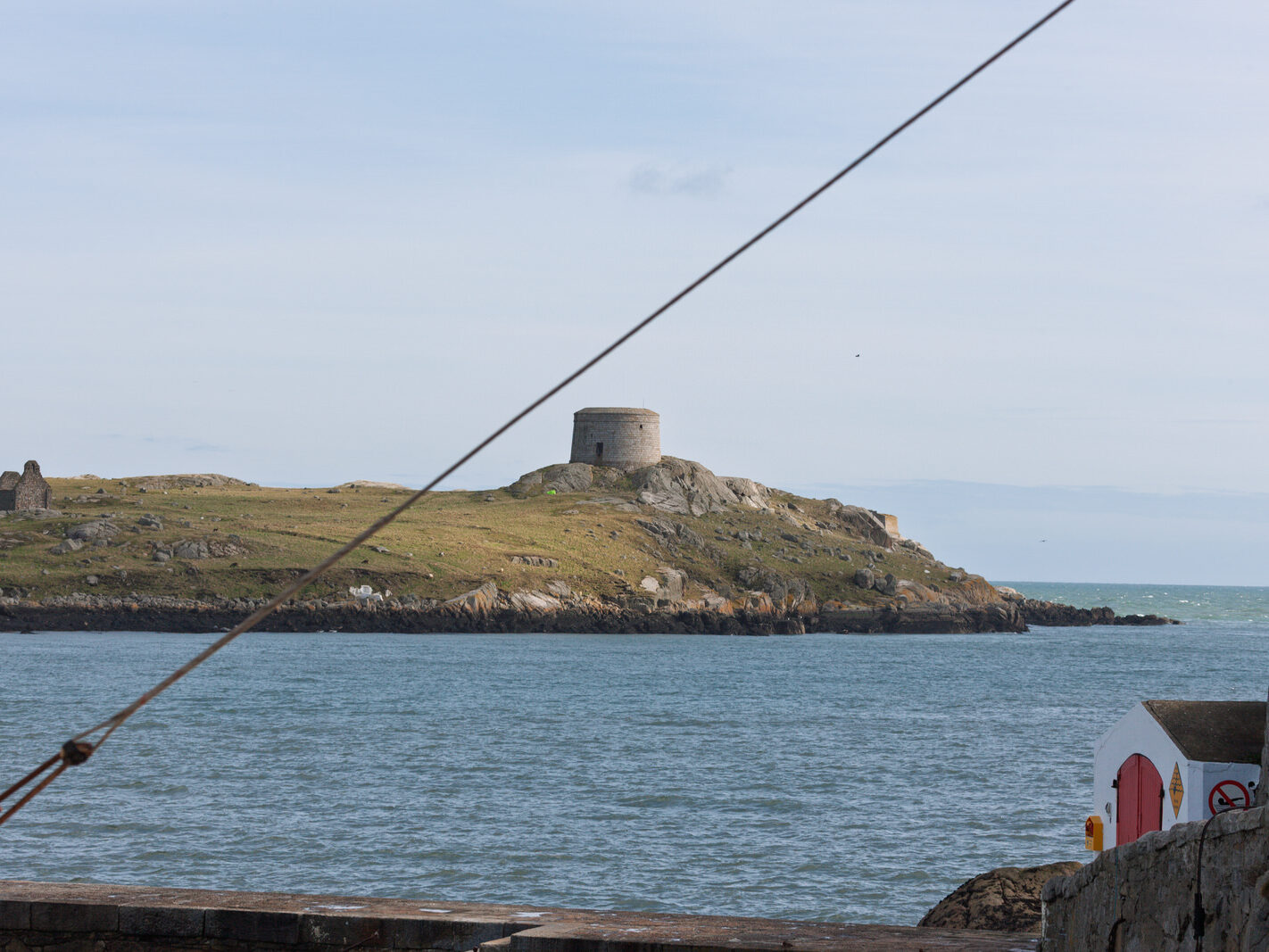
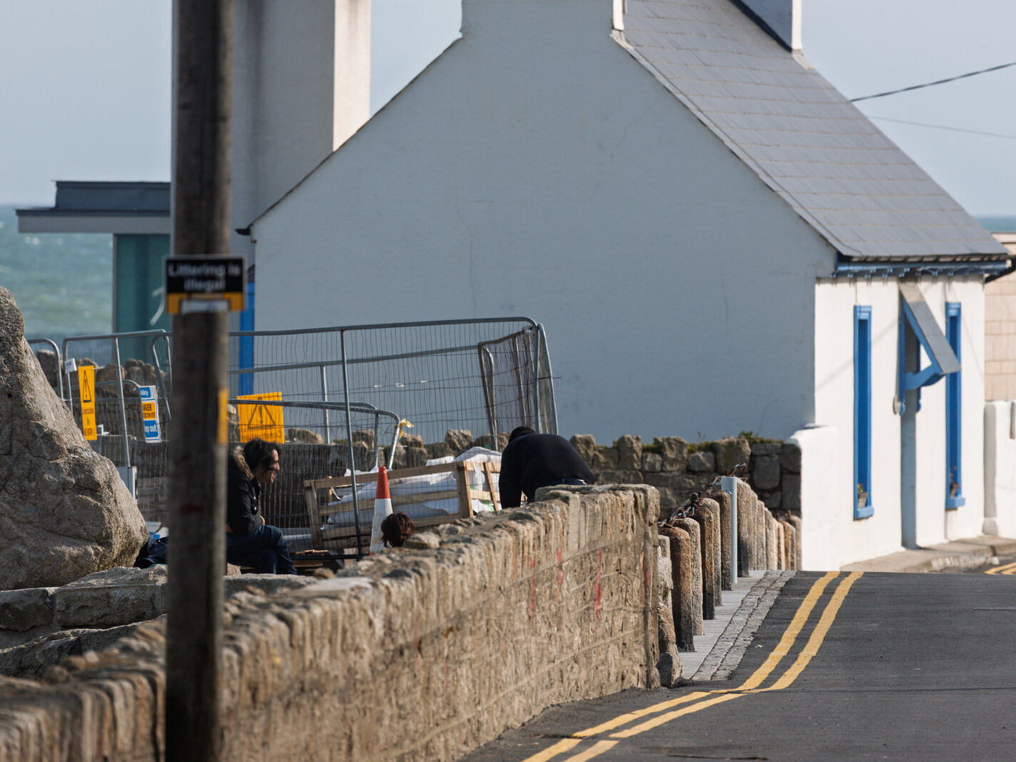
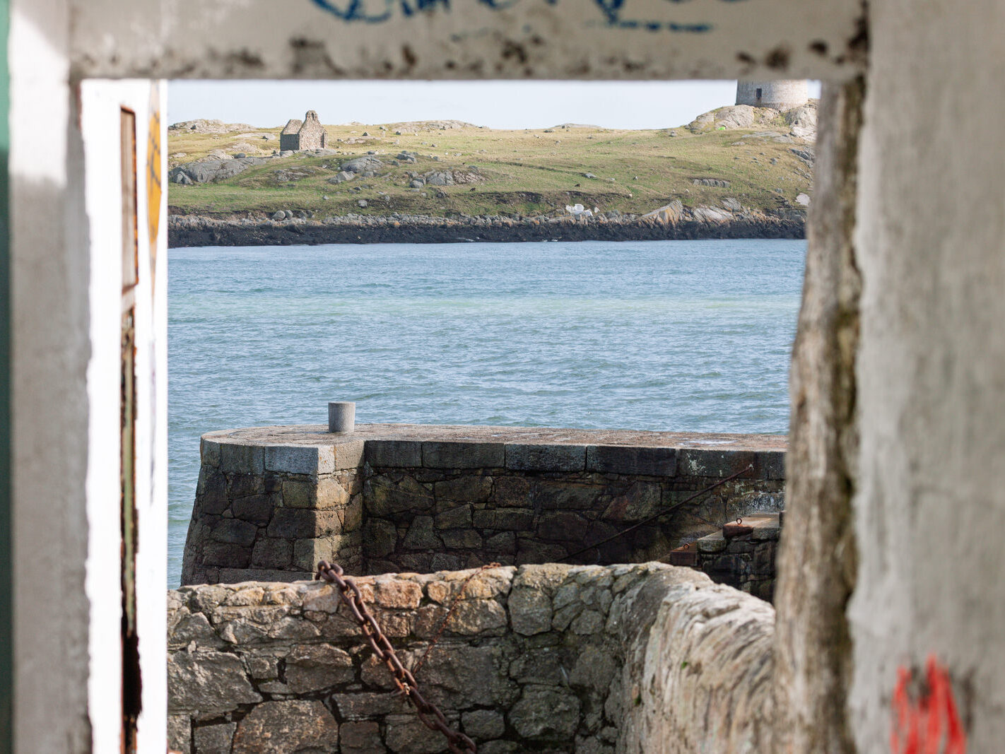
Returning to Coliemore Road in September 2026 offered a striking optical and architectural contrast to my initial walk here in March 2008. The visual disparity between the two visits owes much to focal length: in 2008, I carried a 100–400mm telephoto to compress distance across the Sound towards Dalkey Island, the Muglins, and the slipway at Coliemore Harbour. By contrast, my September 2026 walk called for a 16–35mm wide angle, an optic originally mounted for church interiors that ultimately framed the broad sweep of the coastline and the built streetscape.
Coliemore Road in 2008: The Edge of the Crash
In the spring of 2008, Coliemore Road felt suspended between high-end ambition and economic pause. Often dubbed one of Ireland’s most exclusive coastal stretches, it was caught in the final tremors of the Celtic Tiger era. Several ambitious residential redevelopments—aiming to replace historic villas or exploit sheer cliffside plots—had ground to a standstill. The stall was twofold: bitter planning objections surrounding the preservation of Victorian and Edwardian architectural character, followed immediately by the severe liquidity freeze of 2008 that paralysed developer credit overnight.
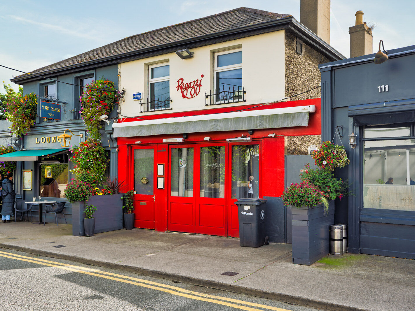
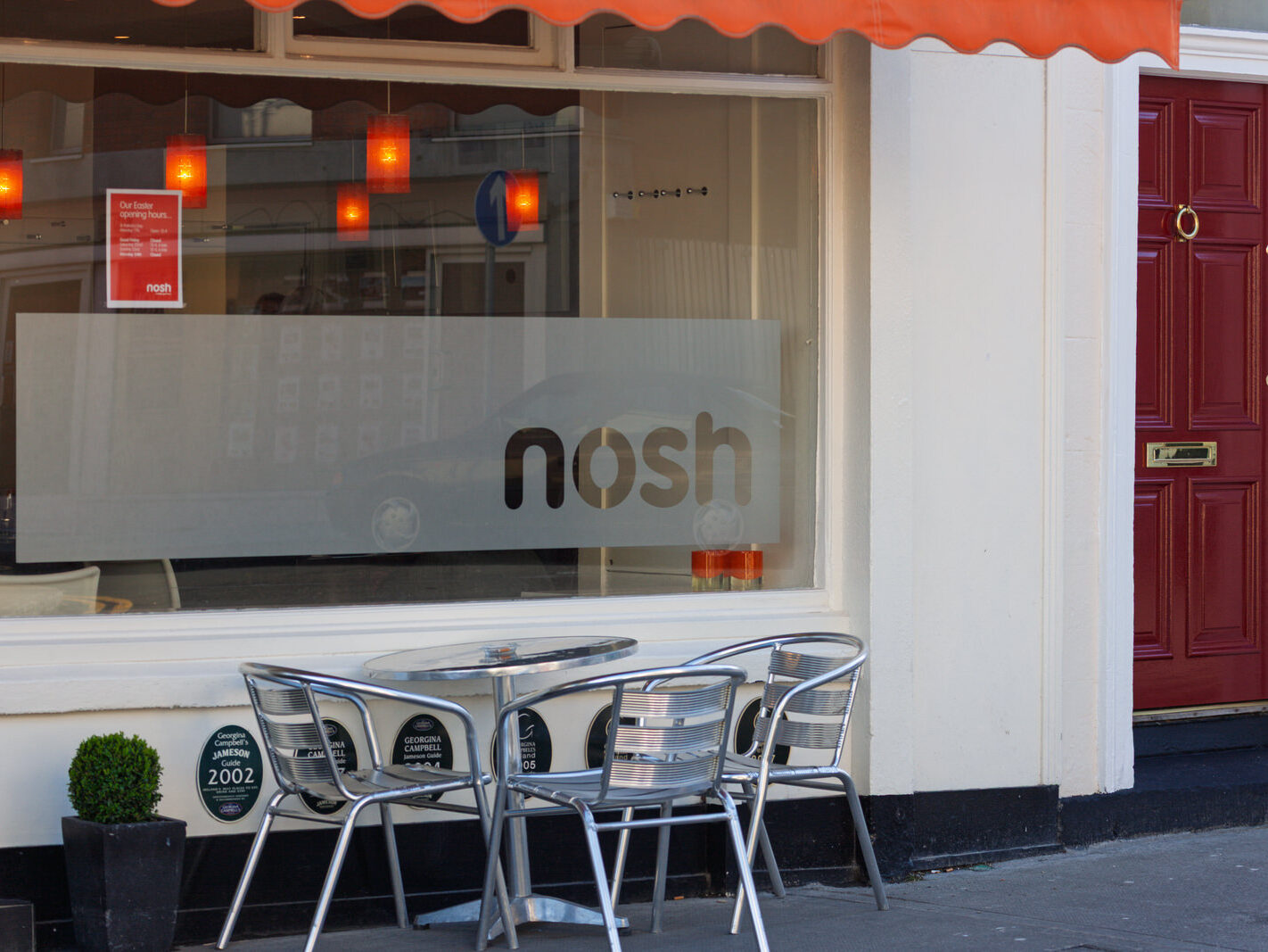
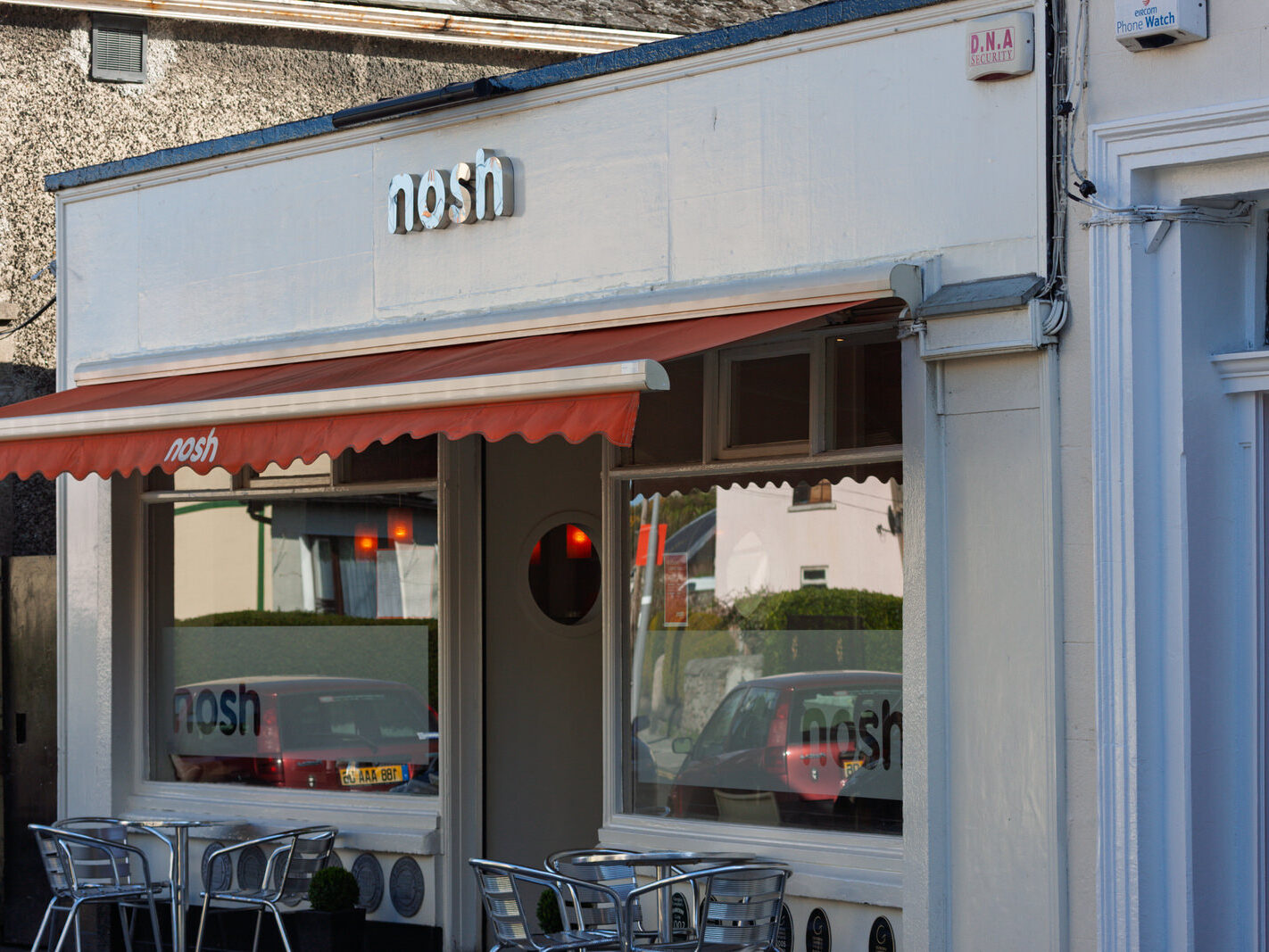
Near the village end of the road, Nosh was then in its heyday:
“Samantha and Sacha Farrell’s bright, contemporary restaurant is next to the famous Club Bar and, with its clean lines and lightwood furniture, no-nonsense menus and quality ingredients, its place in the Dalkey dining scene seems assured. Head chef Julie Sheils’ contemporary seasonal menus have a slight bias towards fish and vegetarian food.”
Despite its acclaim, Nosh ceased trading around 2012, marking the turnover of local village institutions that followed that economic downturn.
The Lost Goats of Dillon’s Park
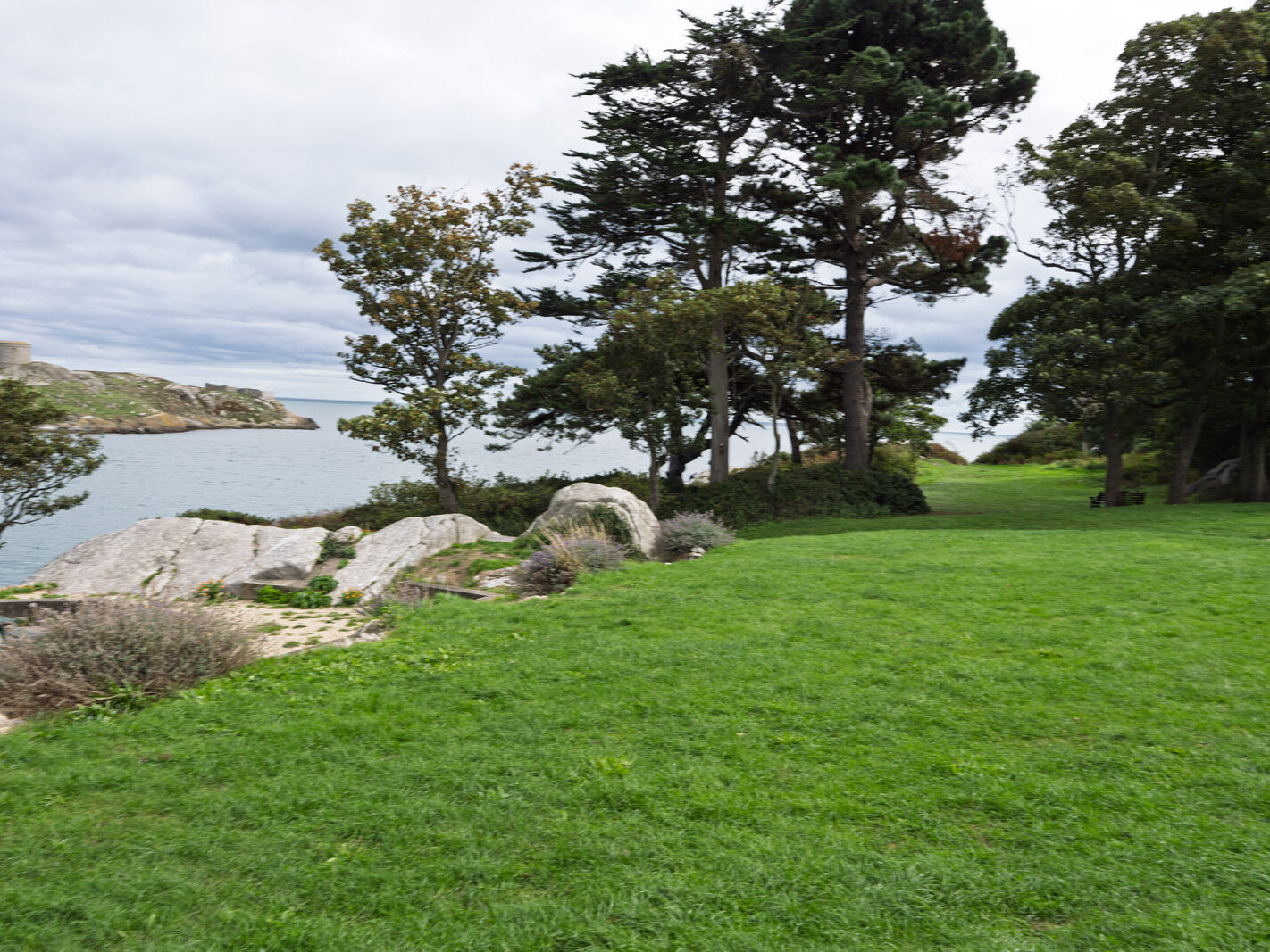
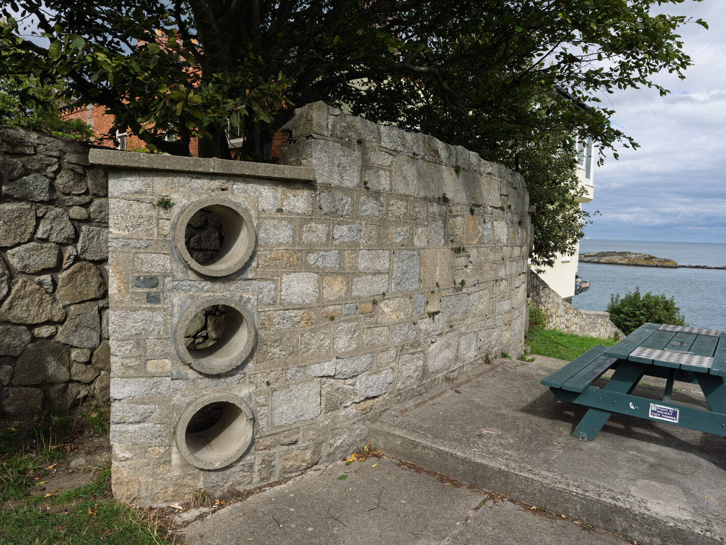
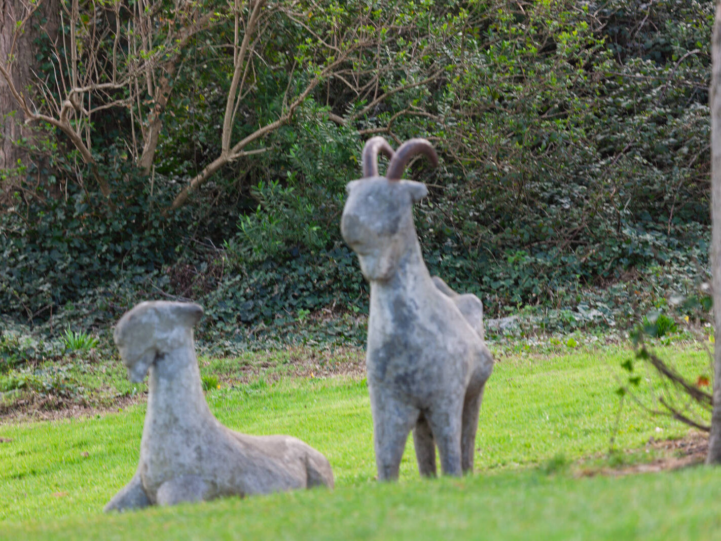
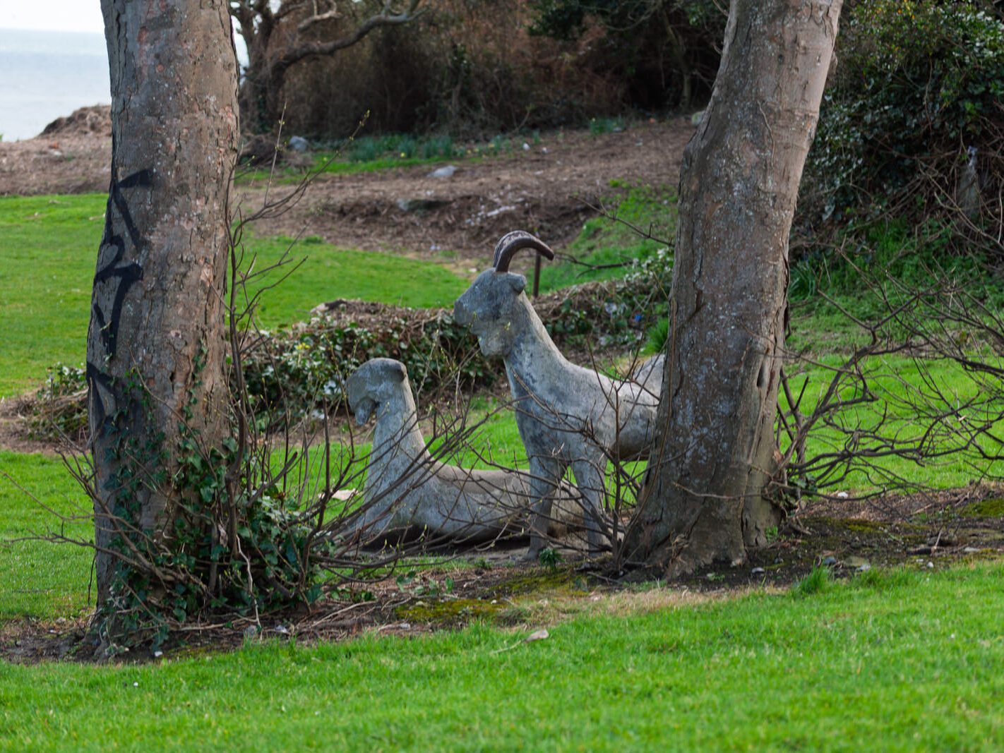
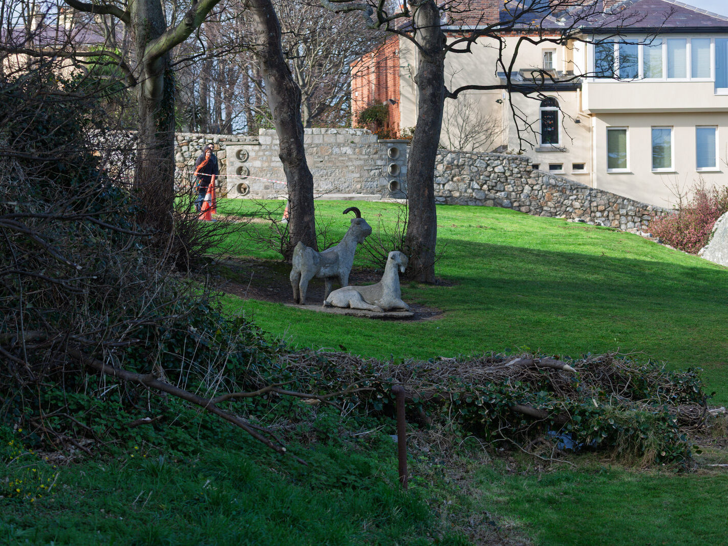
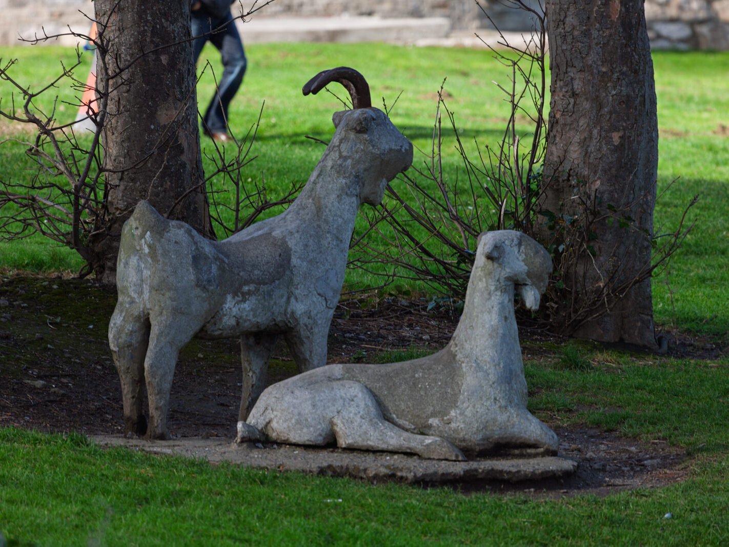
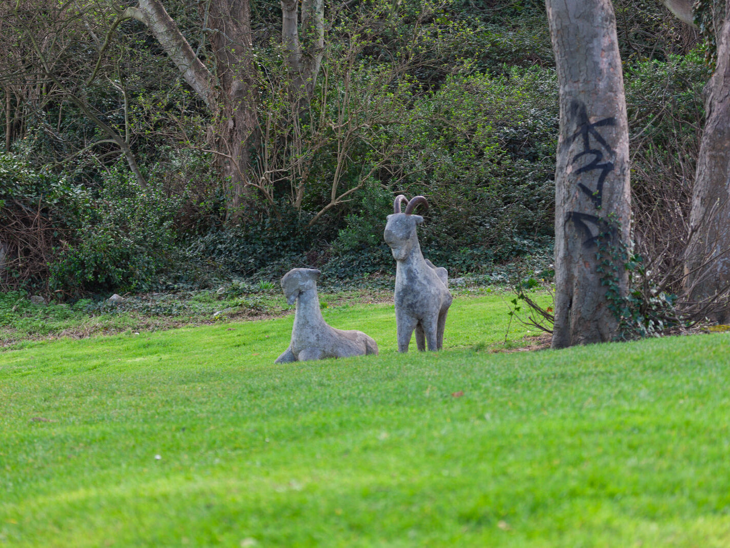
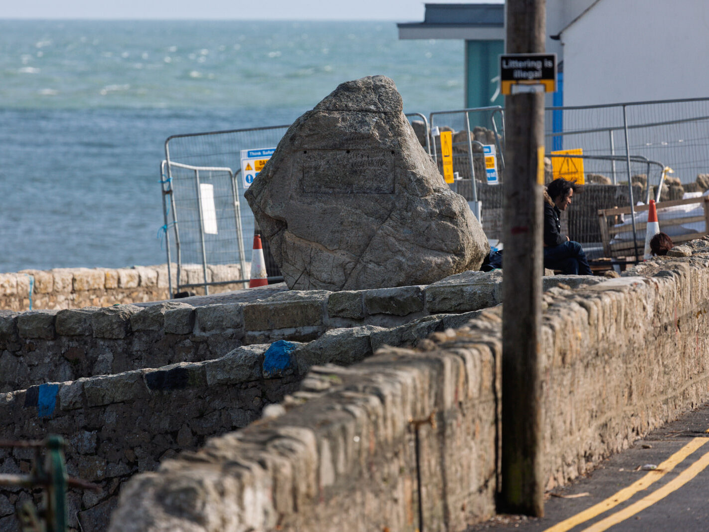
During that 2008 walk, I documented an intriguing piece of public art overlooking the sea in Dillon’s Park. At the time, the images went uncatalogued; the park’s name was elusive, and the artist was uncredited on site. Only years later did council records shed light on their identity and subsequent disappearance:
Meeting of Dún Laoghaire Area Committee — 22 November 2010
Fixing of Goat Sculptures in Dillon’s Park, Dalkey
Question (Councillor S. Fitzpatrick): “To ask the Manager to fix the damage to the goat sculptures in Dillon’s Park, Coliemore Road, Dalkey, and to ask the Manager to explore the feasibility of installing a more robust goat sculpture in replace of the concrete sculpture?”
Reply: “In 2007, dlr Arts Office engaged Jason Ellis, a sculpture conservator, to undertake a condition audit of the public sculptures in the County. It was noted that Katy Goodhue’s Goats, sited in Dillon’s Park, ‘would be hard to restore/conserve’.
In 2008, the Public Art Steering Group developed internal guidelines around the decommissioning of artworks sited in public places in the County… Certain conditions have to apply before an artwork would be considered for deaccession, for example, if the work has significantly deteriorated or if it requires a level of maintenance and/or conservation which constitutes an unsustainable expenditure level.
This sculpture is on the list of public artworks to be actioned over the course of the next arts strategy. Due to the poor condition of the sculpture, the Arts Office will be recommending that the work be decommissioned. At present, due to financial constraints, the commissioning and installation of a new sculpture at that location will not be feasible.”
— Kenneth Redmond, Arts Officer
By my September visit, the goats had long been removed, leaving the park’s coastal terrace without a replacement installation.
The Evolving Built Environment
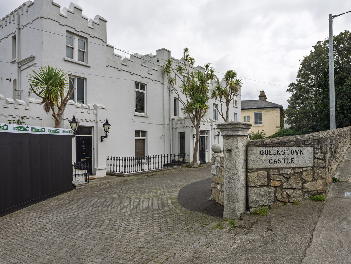
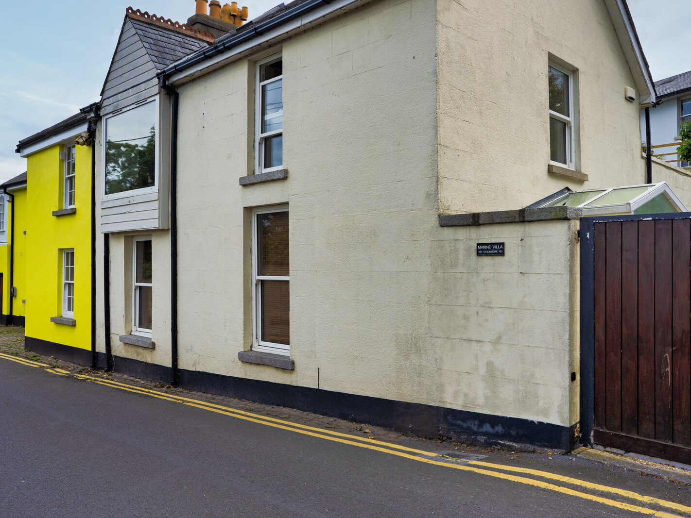
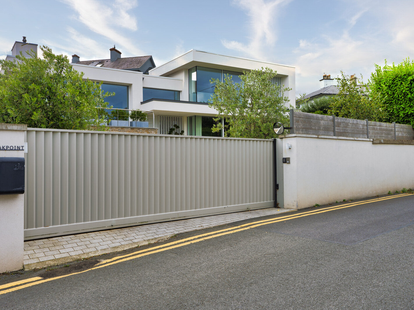
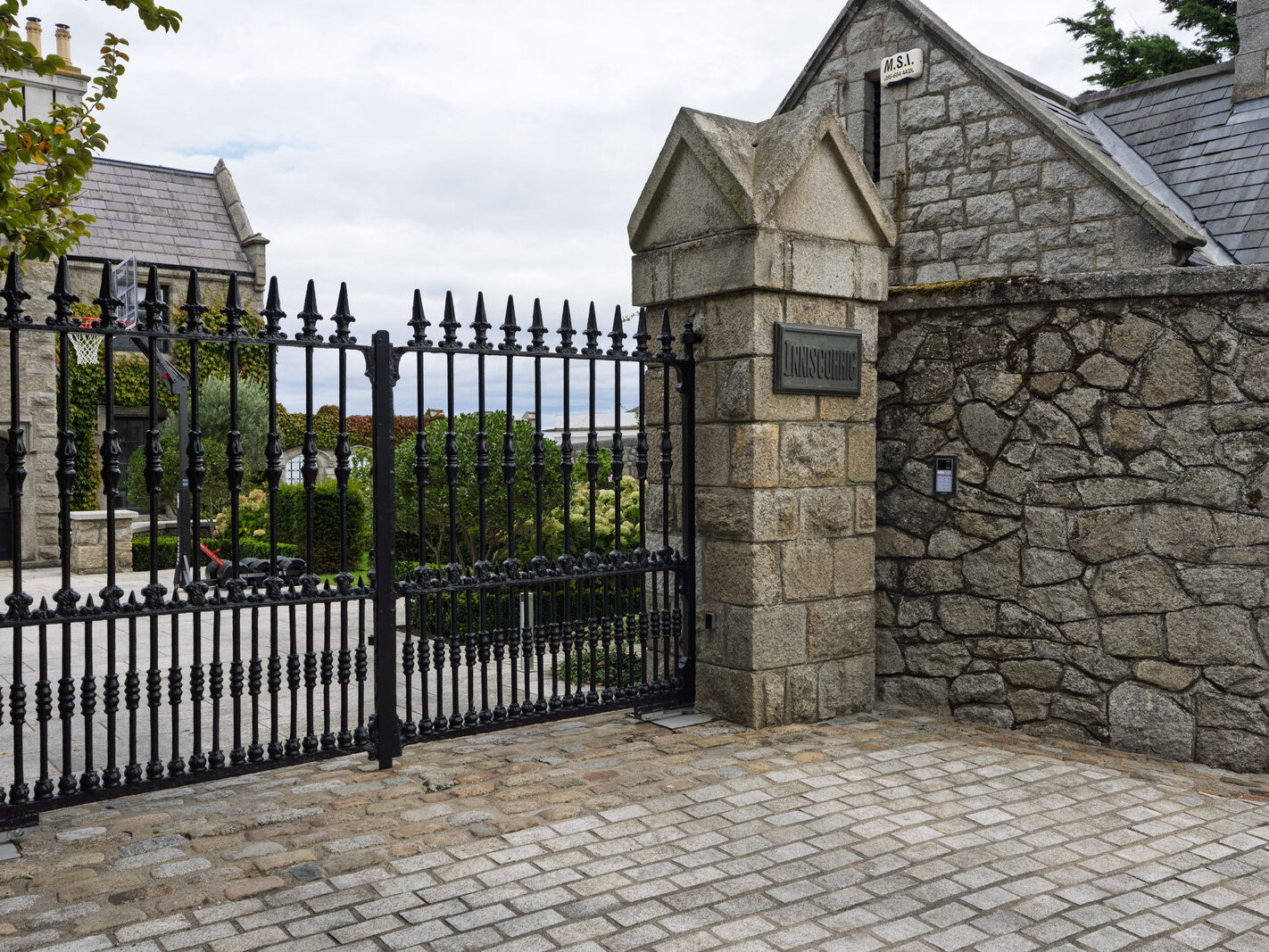
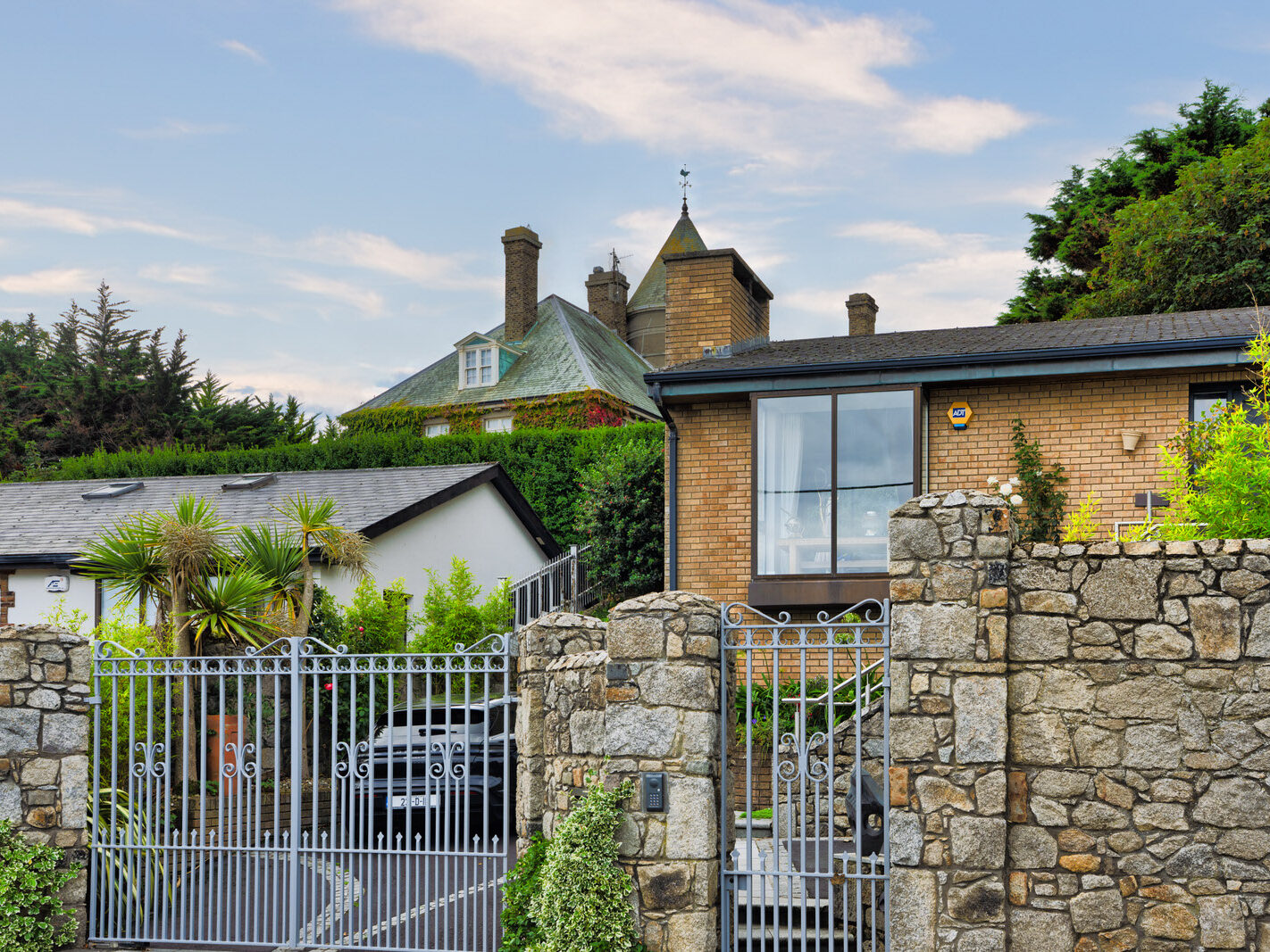
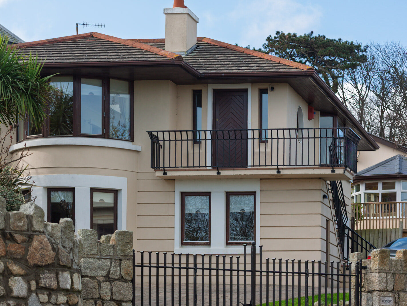
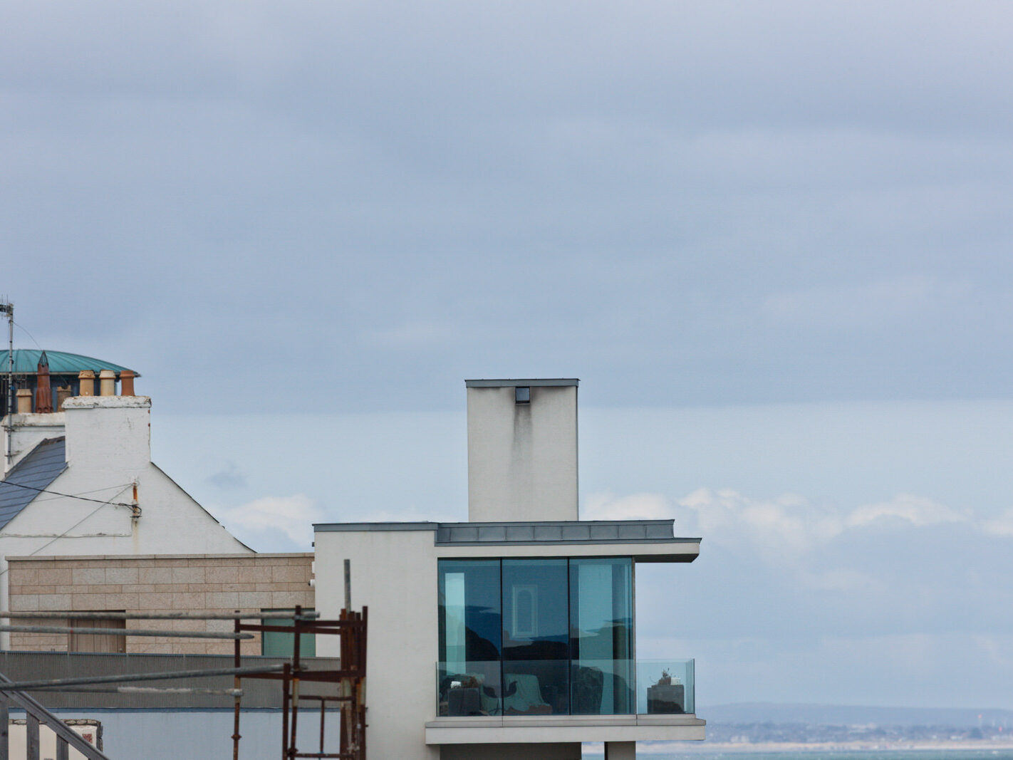
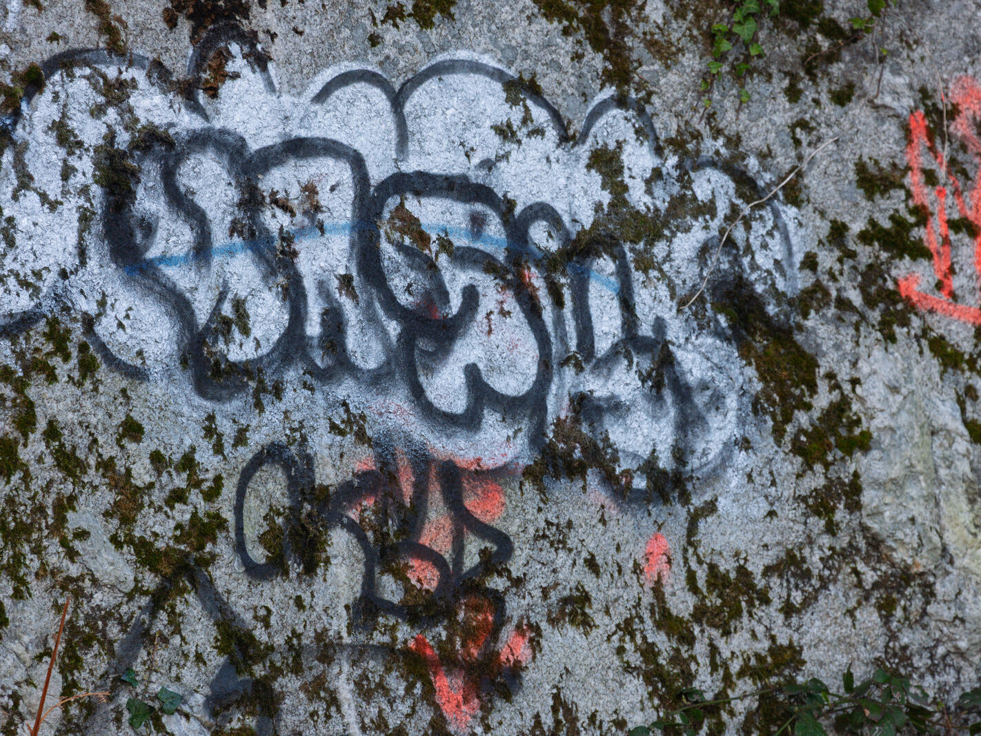
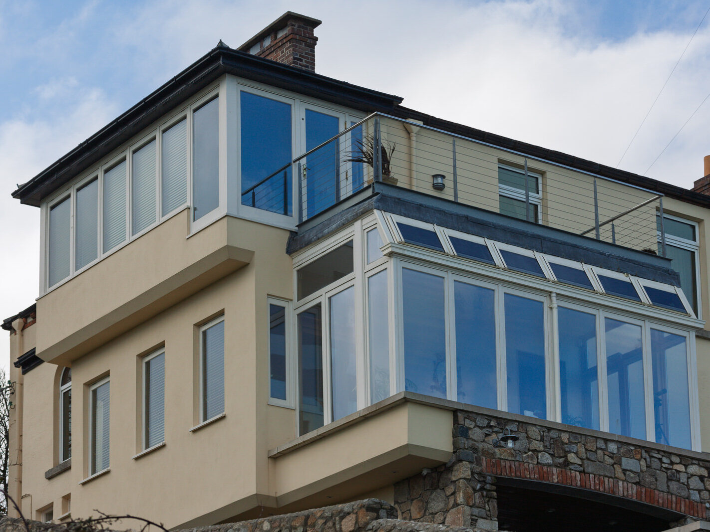
Between 2008 and 2026, the stalled ribbon of Coliemore Road quietly underwent an architectural renaissance. Once capital markets recovered, the paused sites and tired mid-century properties gave way to bespoke, contemporary coastal homes. Granite-clad boundary walls now conceal discreet structural feats: cantilevered terraces, extensive floor-to-ceiling marine-grade glazing, and green-roofed dwellings stepped down the granite topography to capture Dublin Bay. Where 2008 captured weathered concrete public art and halted work, 2026 reveals a polished, highly fortified coastal landscape where private architectural commissions flourish even as civic public art remains unreplaced.