
• Skip to main content

THE URBAN CARTOGRAPHER IS BACK IN THE SOUTHSIDE

This Street Photography Site Has Been Relaunched

William Murphy

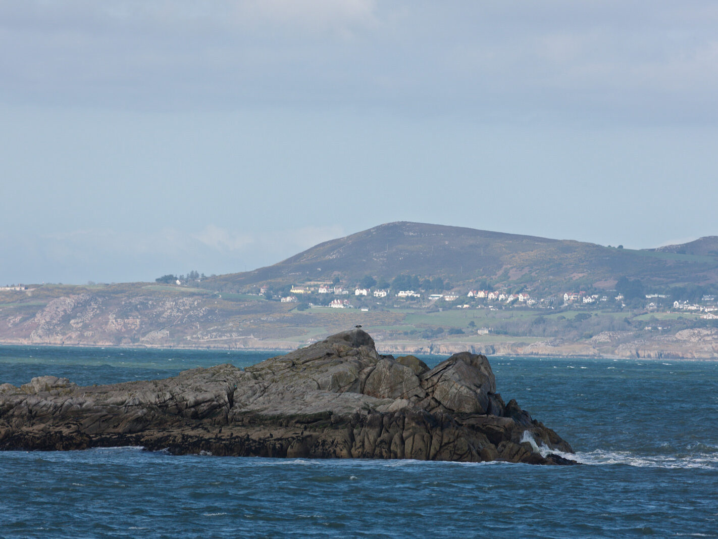
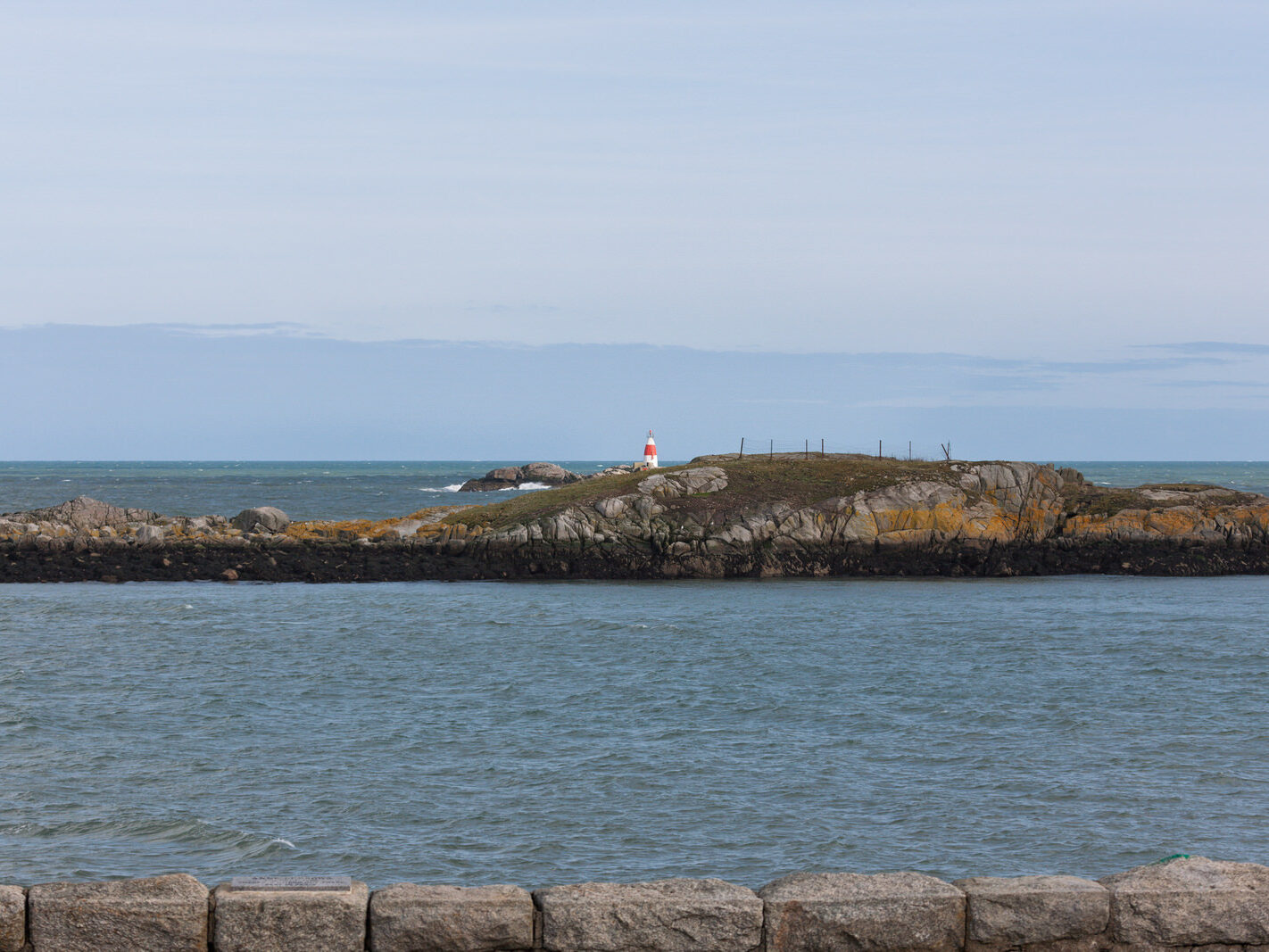
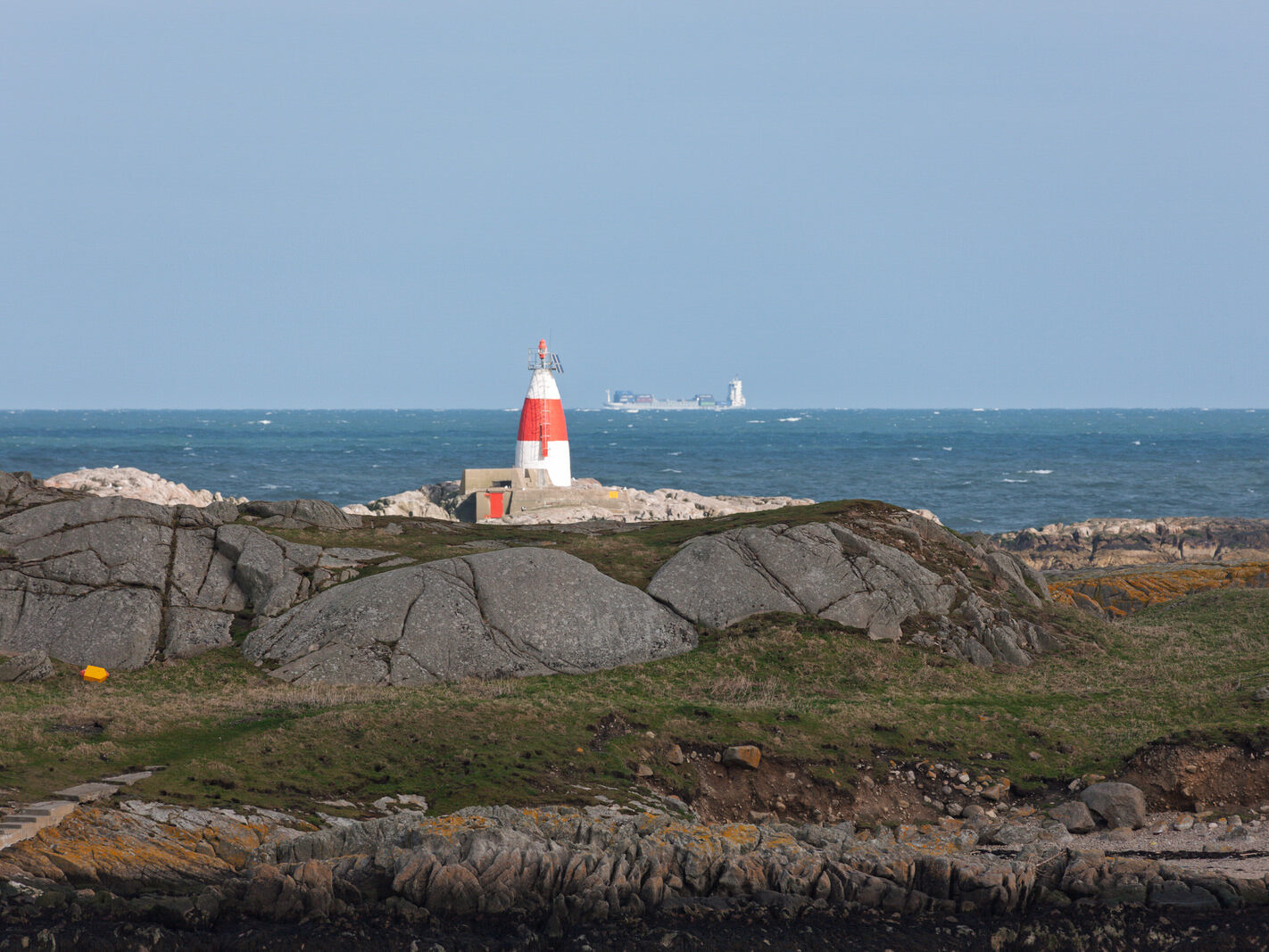
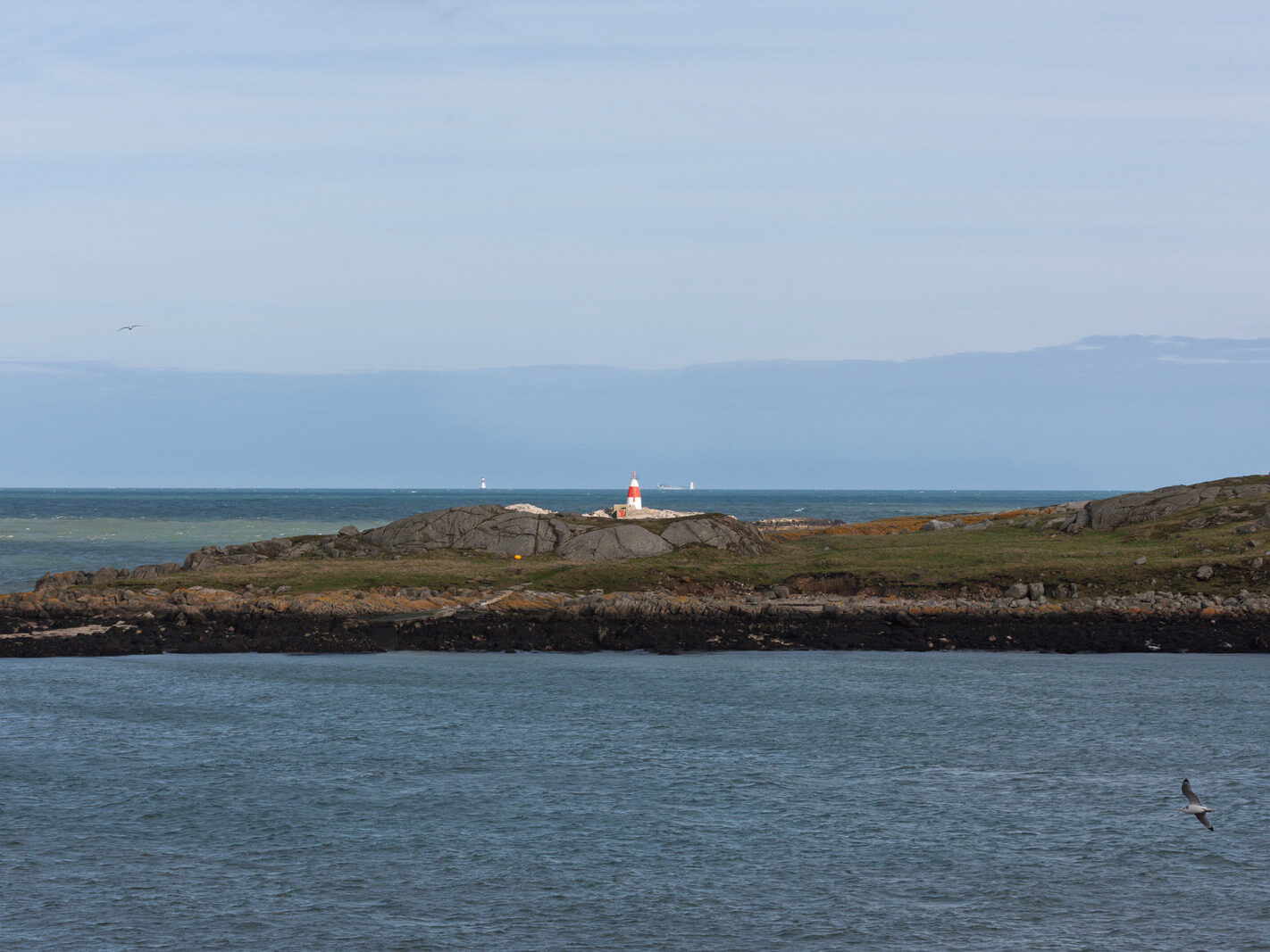
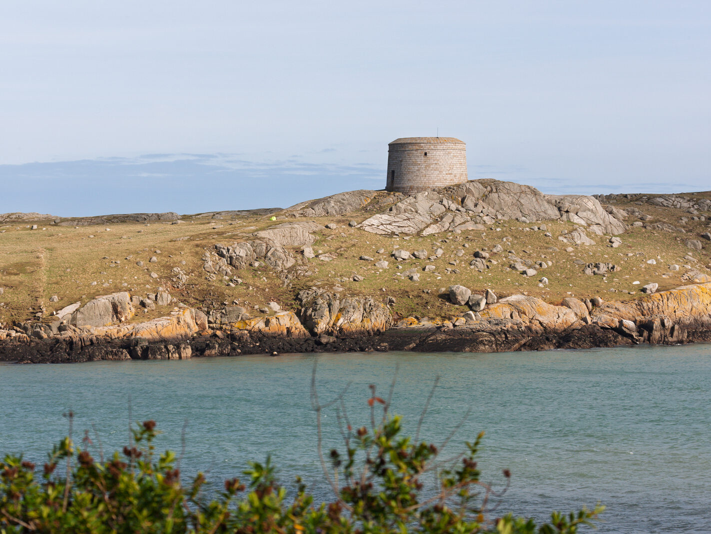
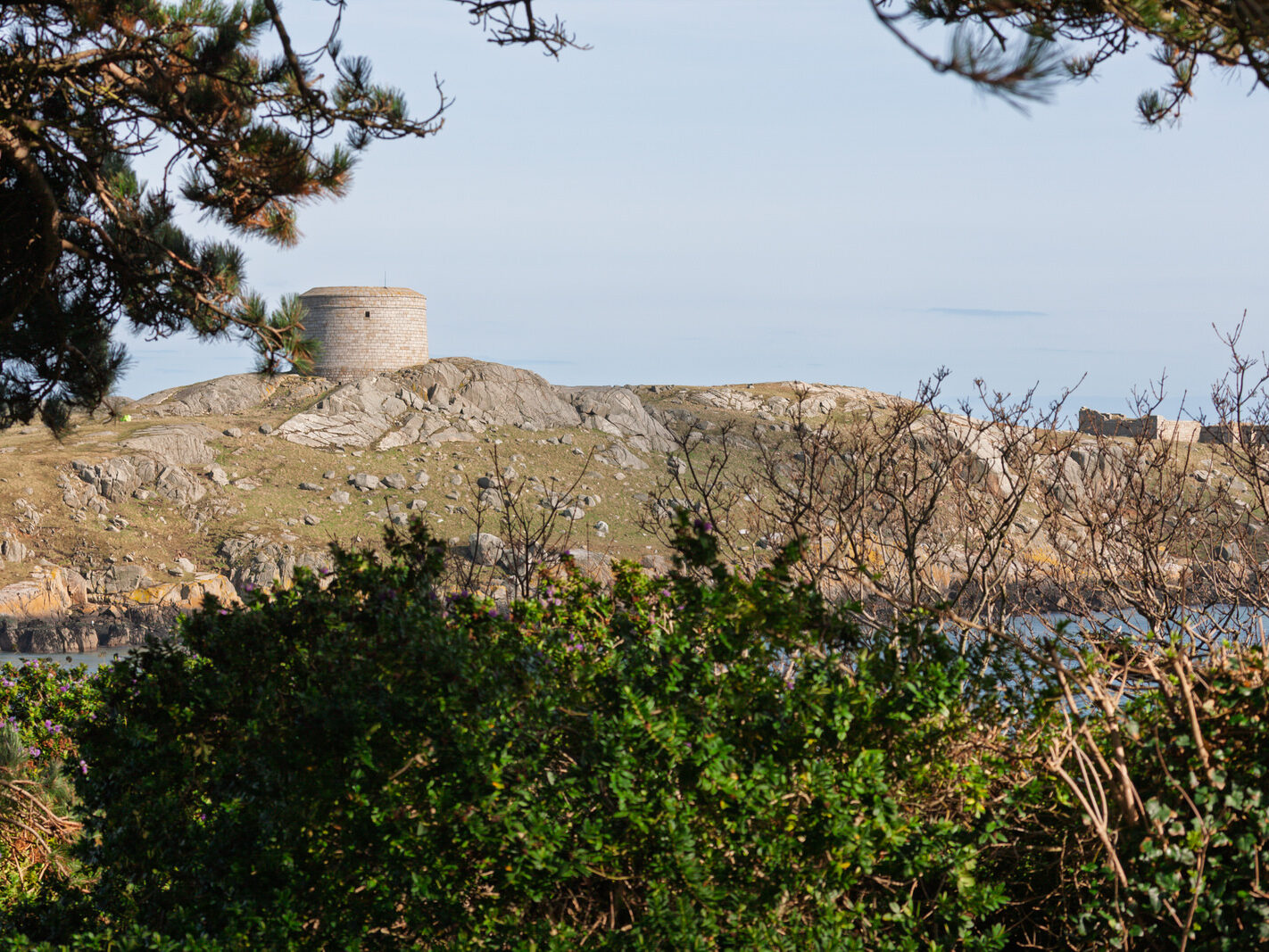
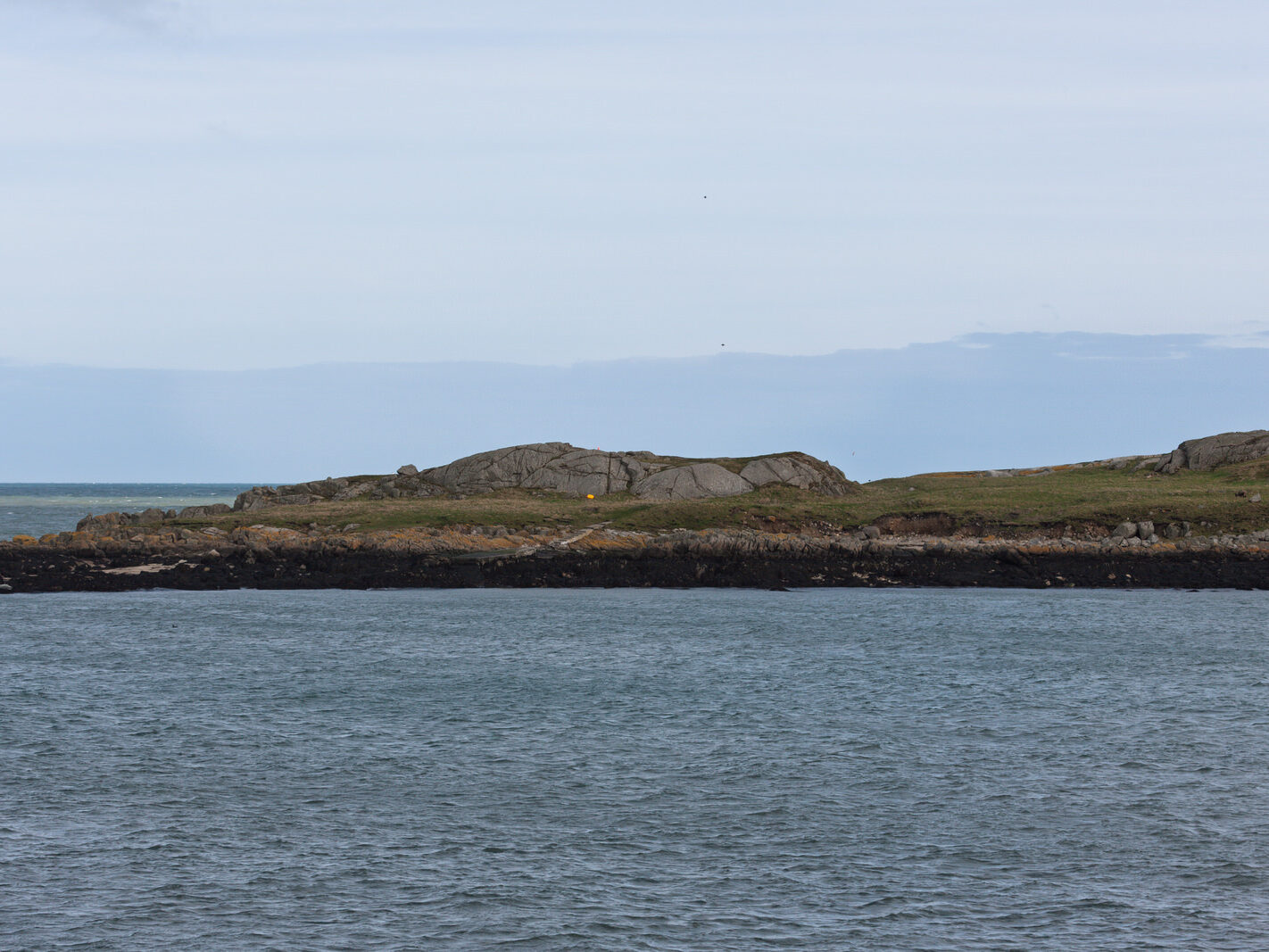
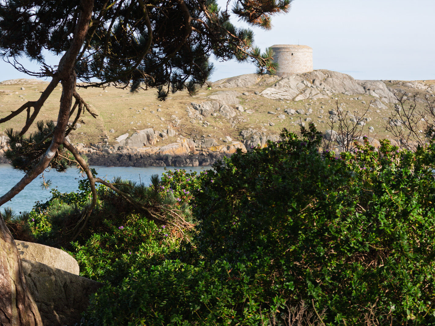
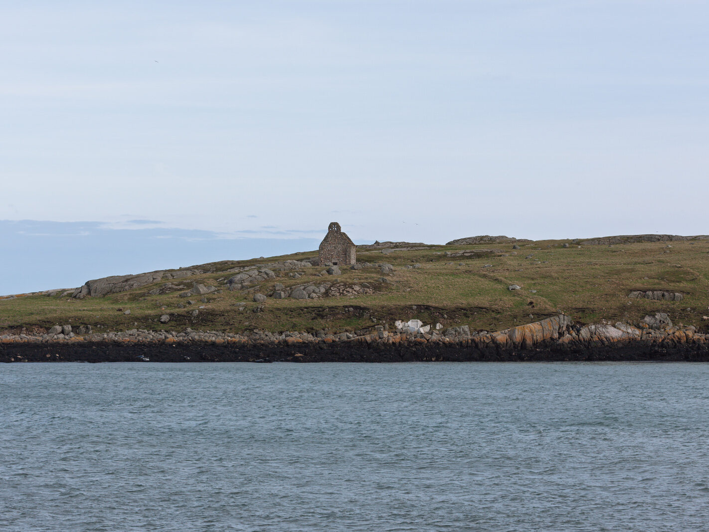
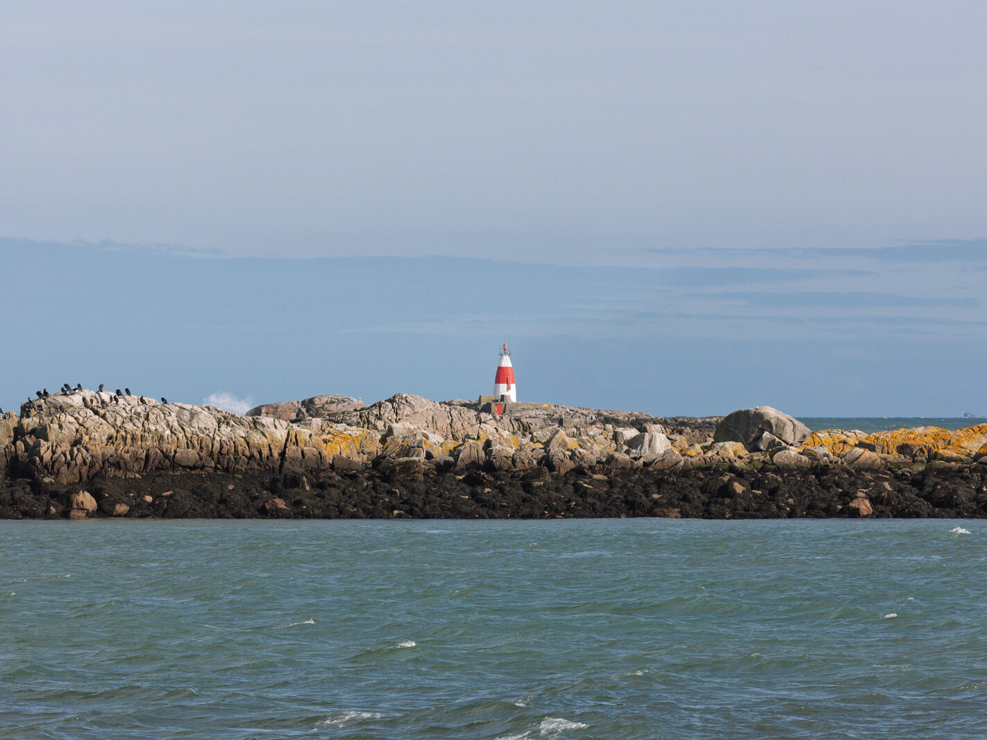
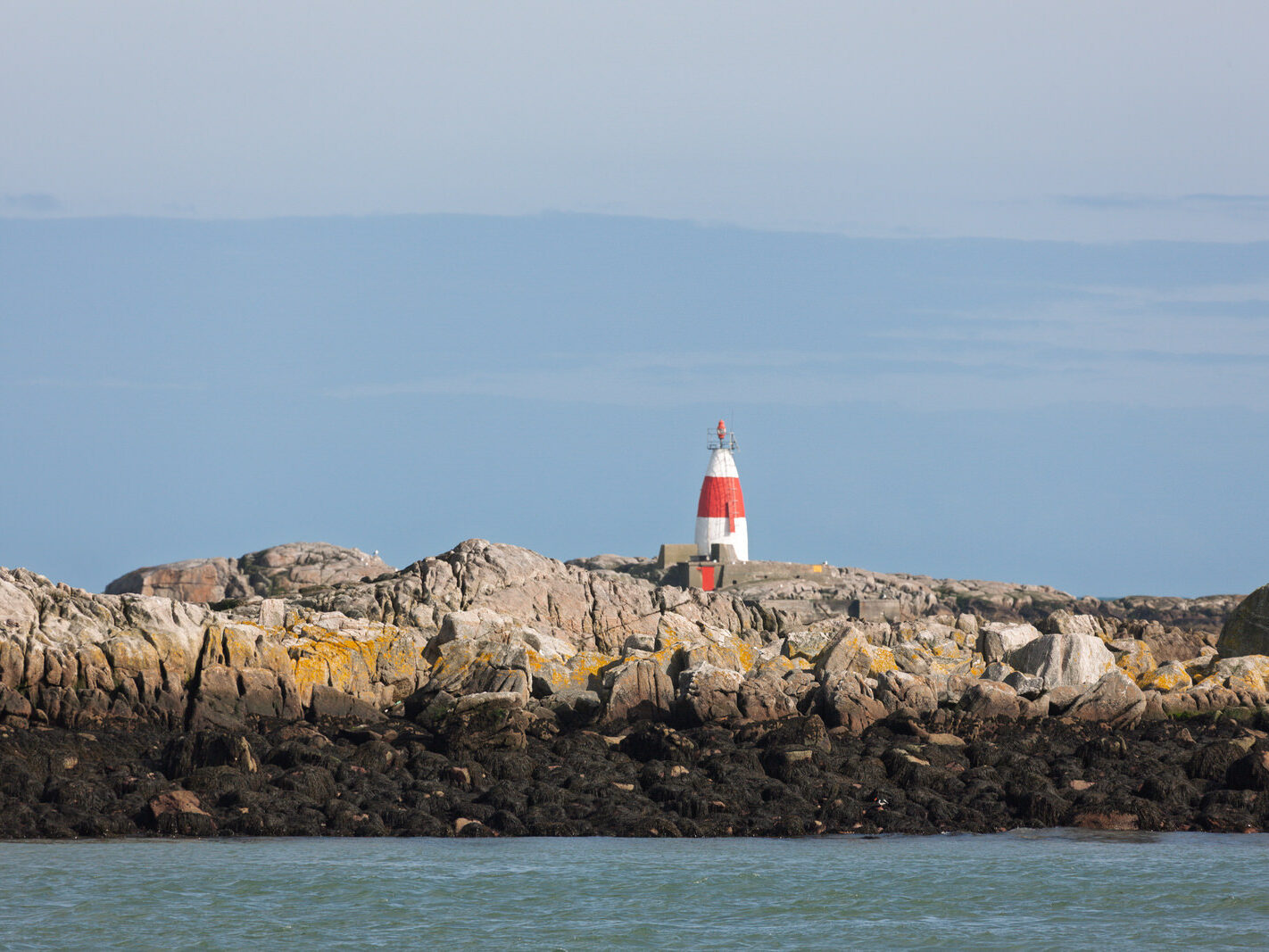
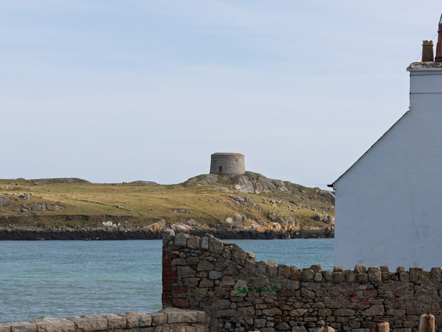
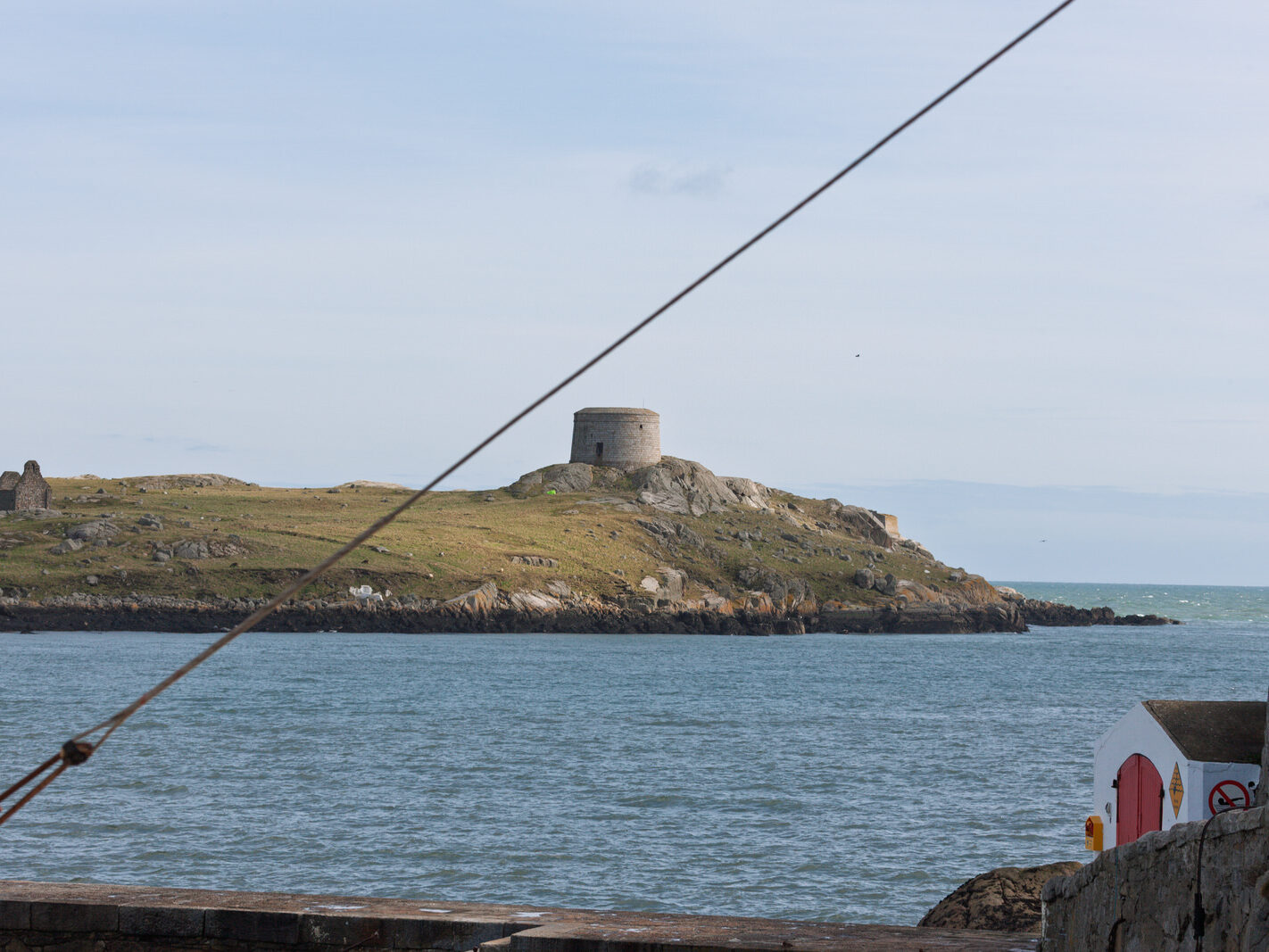
My March 2008 Visit To Coliemore Road In Dalkey

September 17, 2026 by infomatique


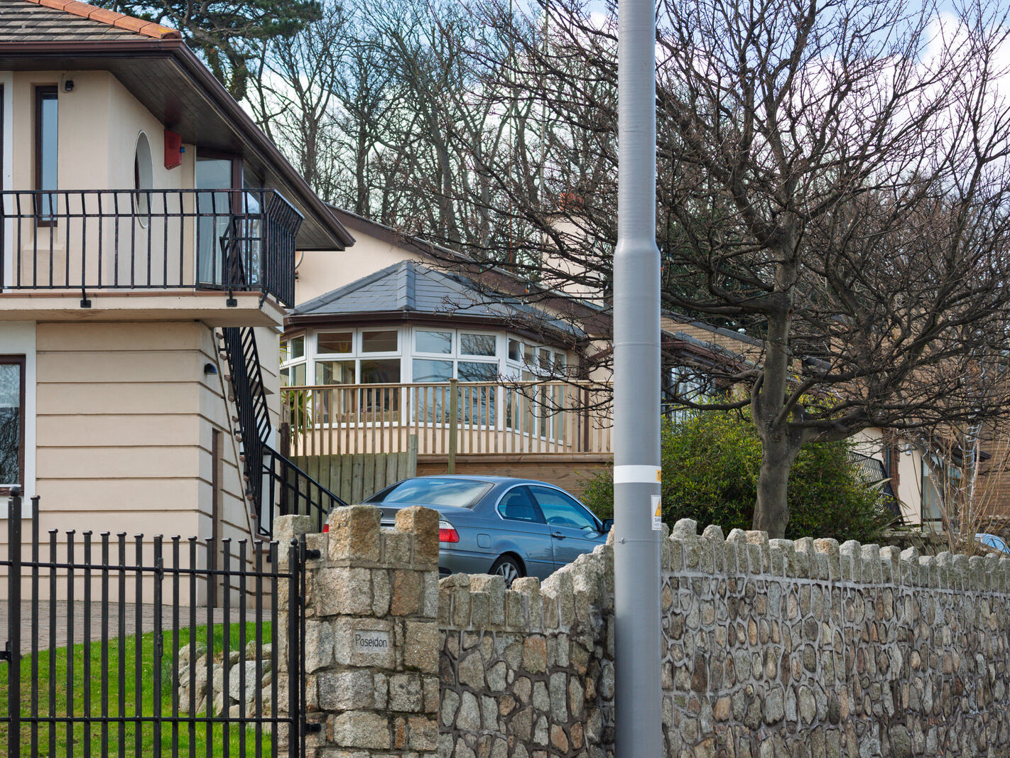
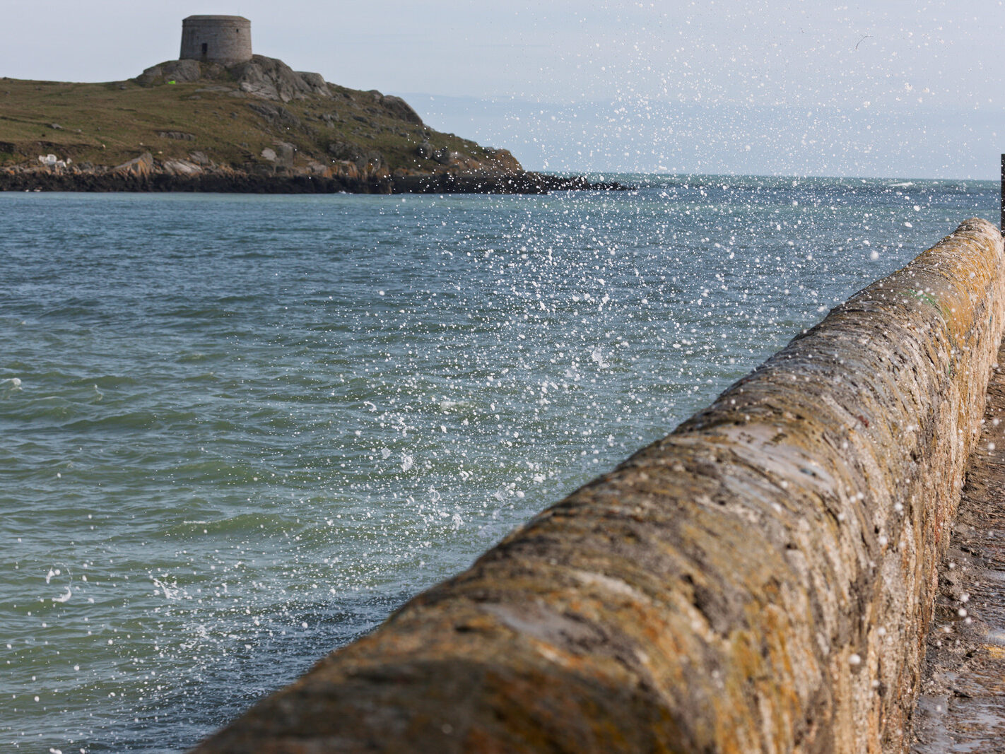
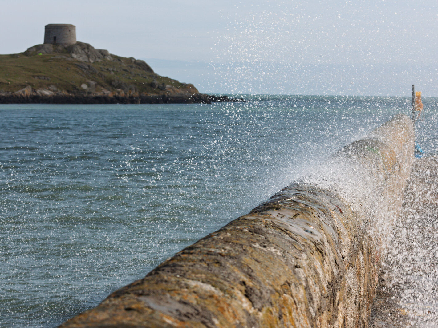
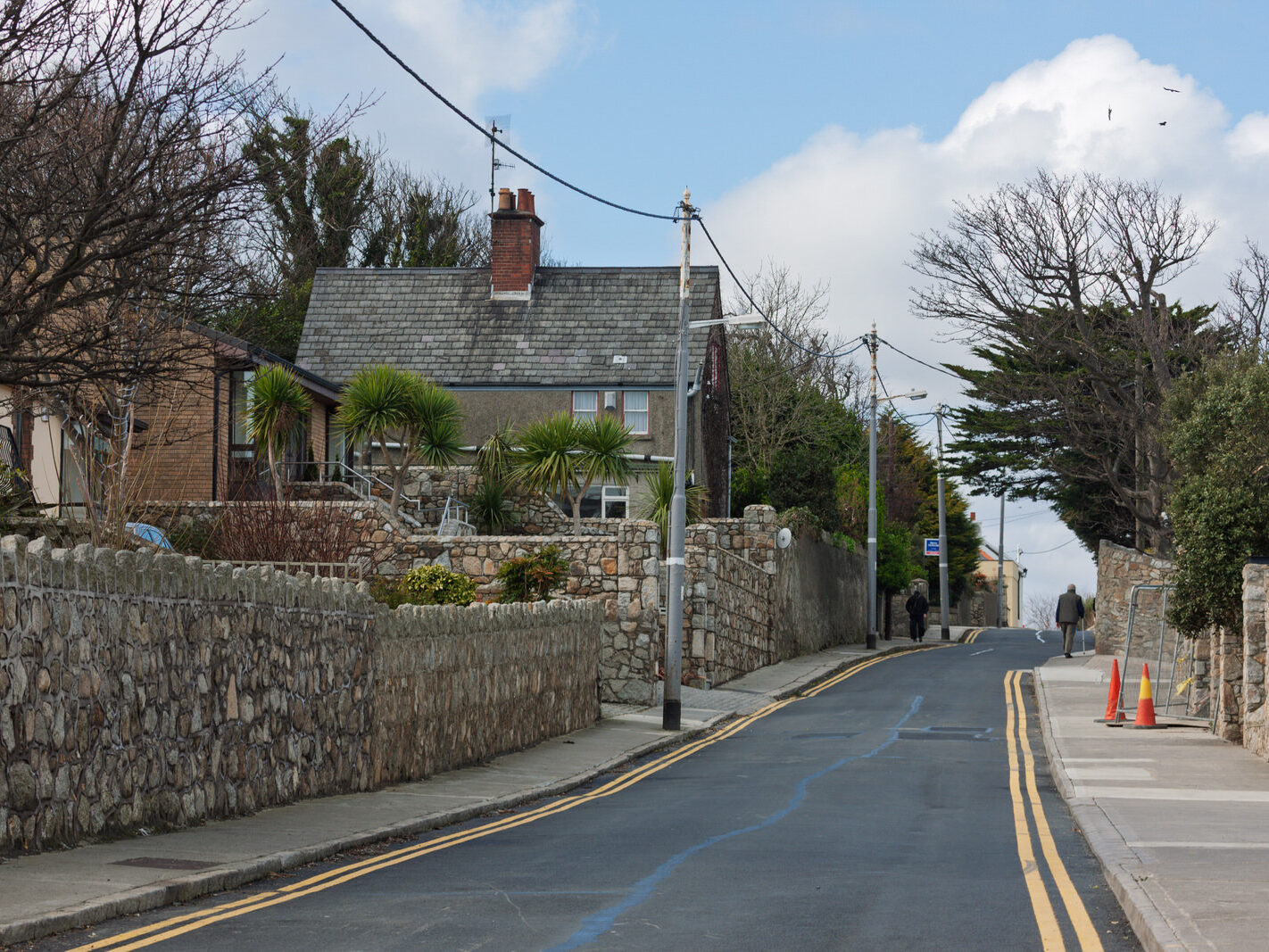
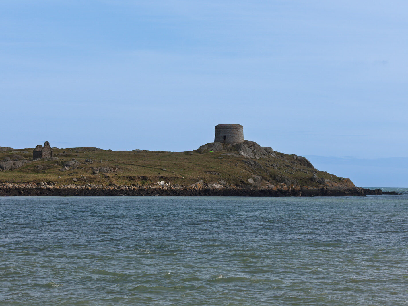
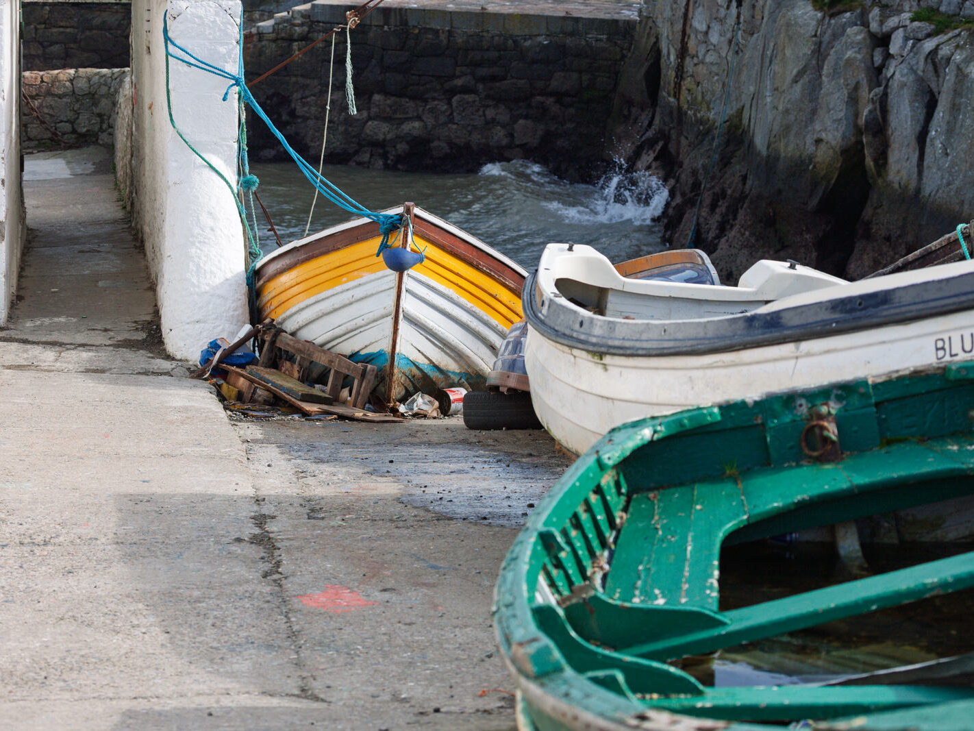
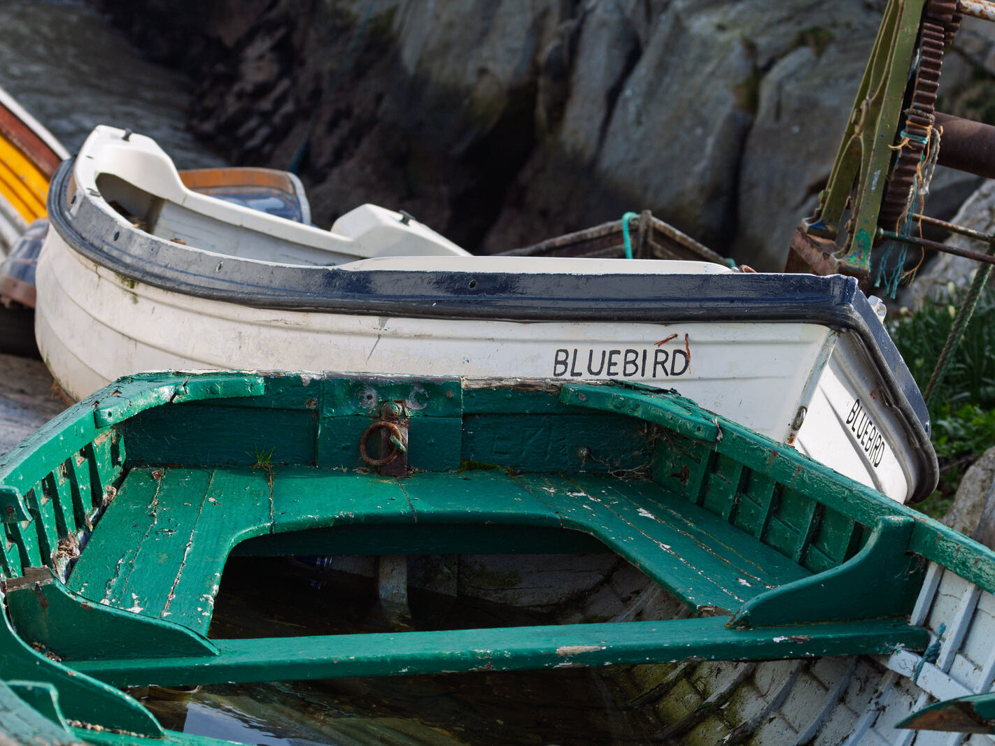
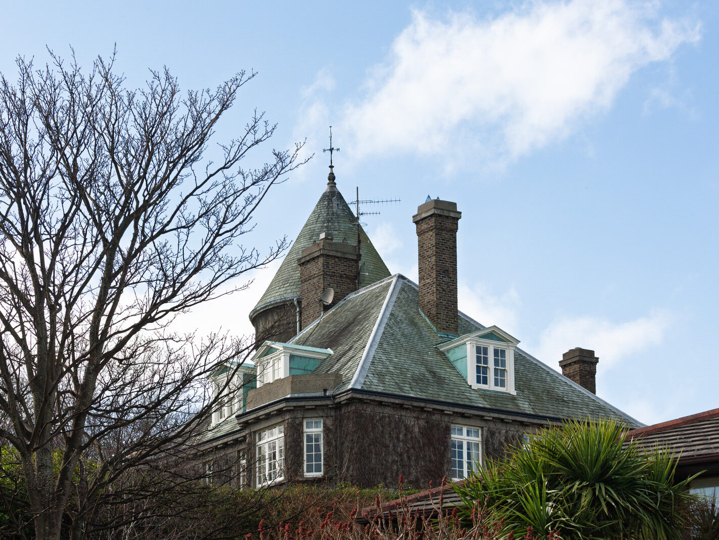
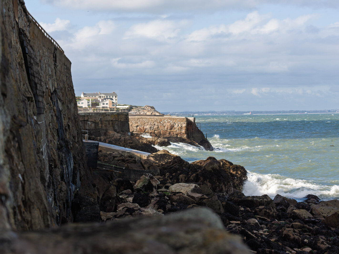
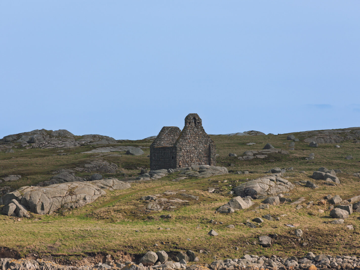
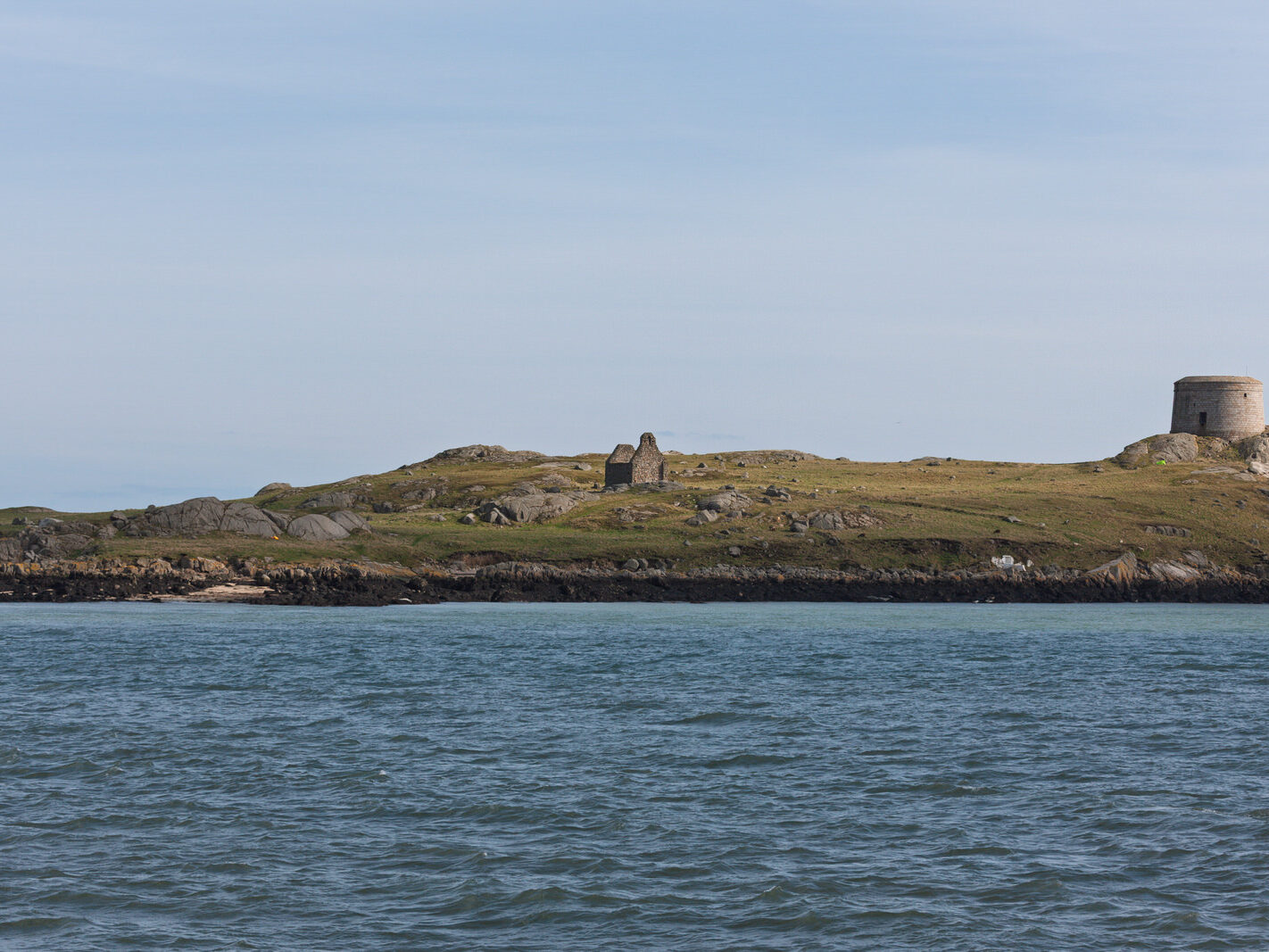
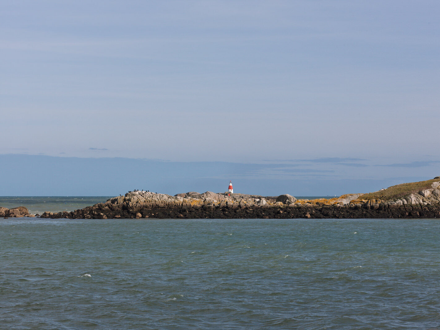
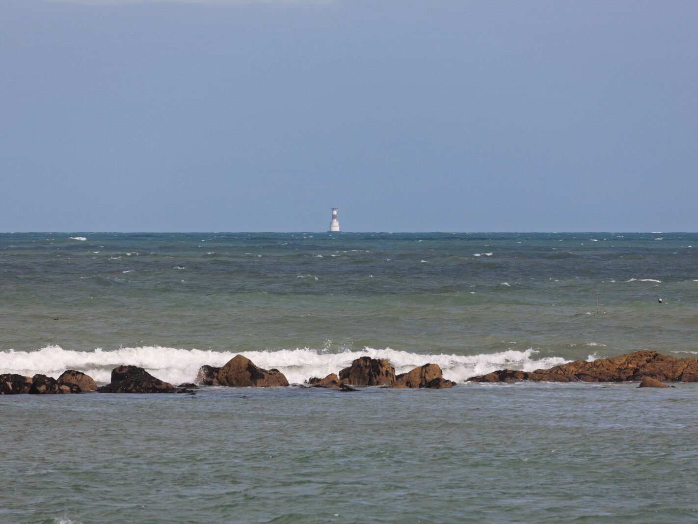
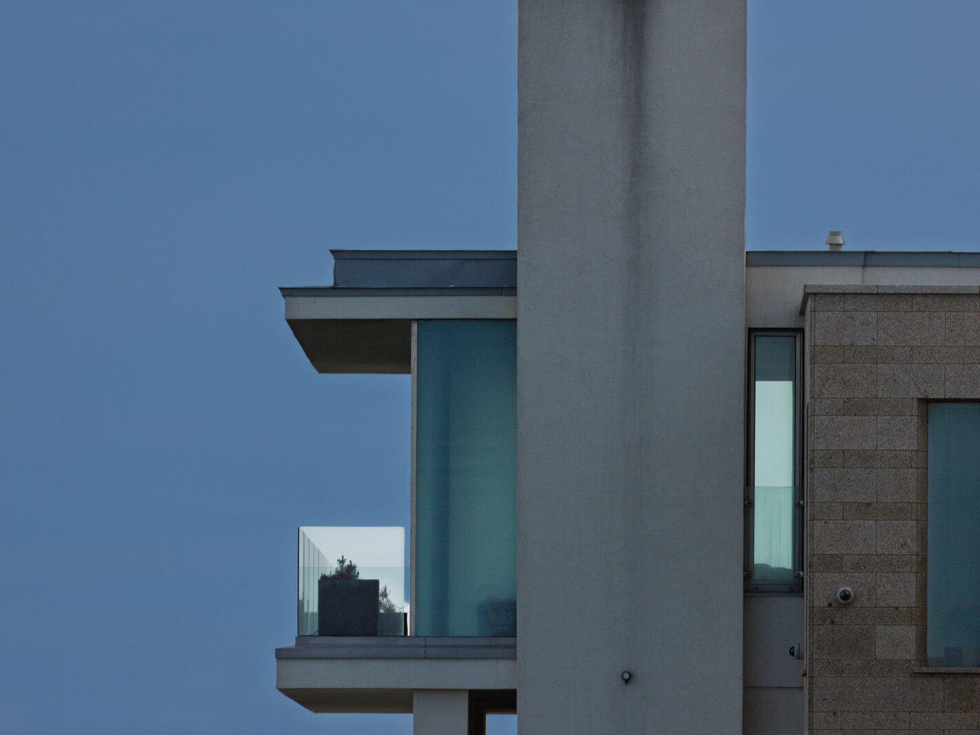
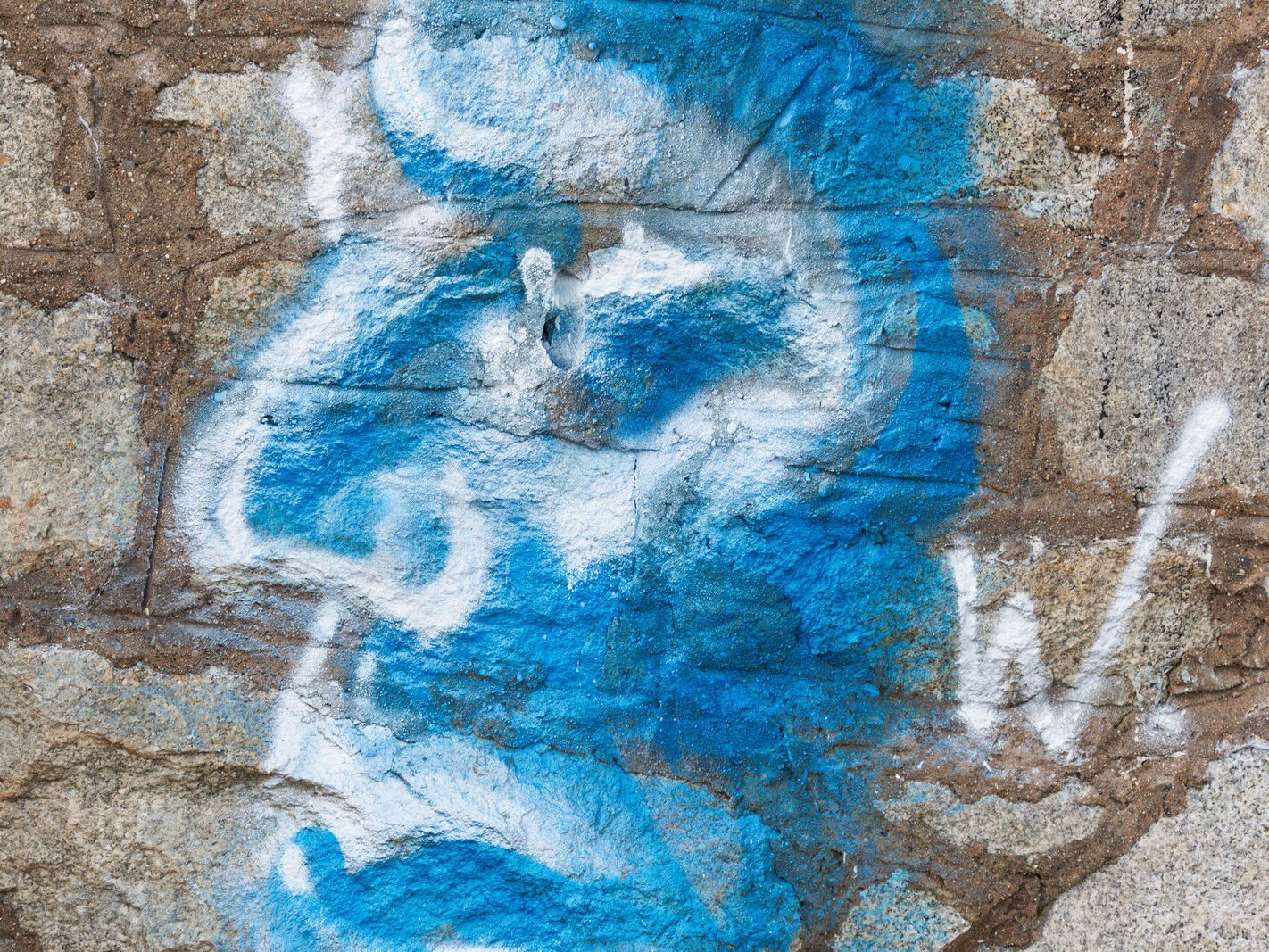
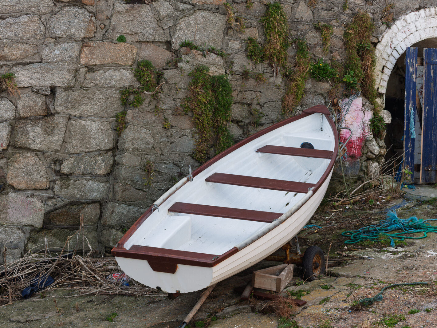
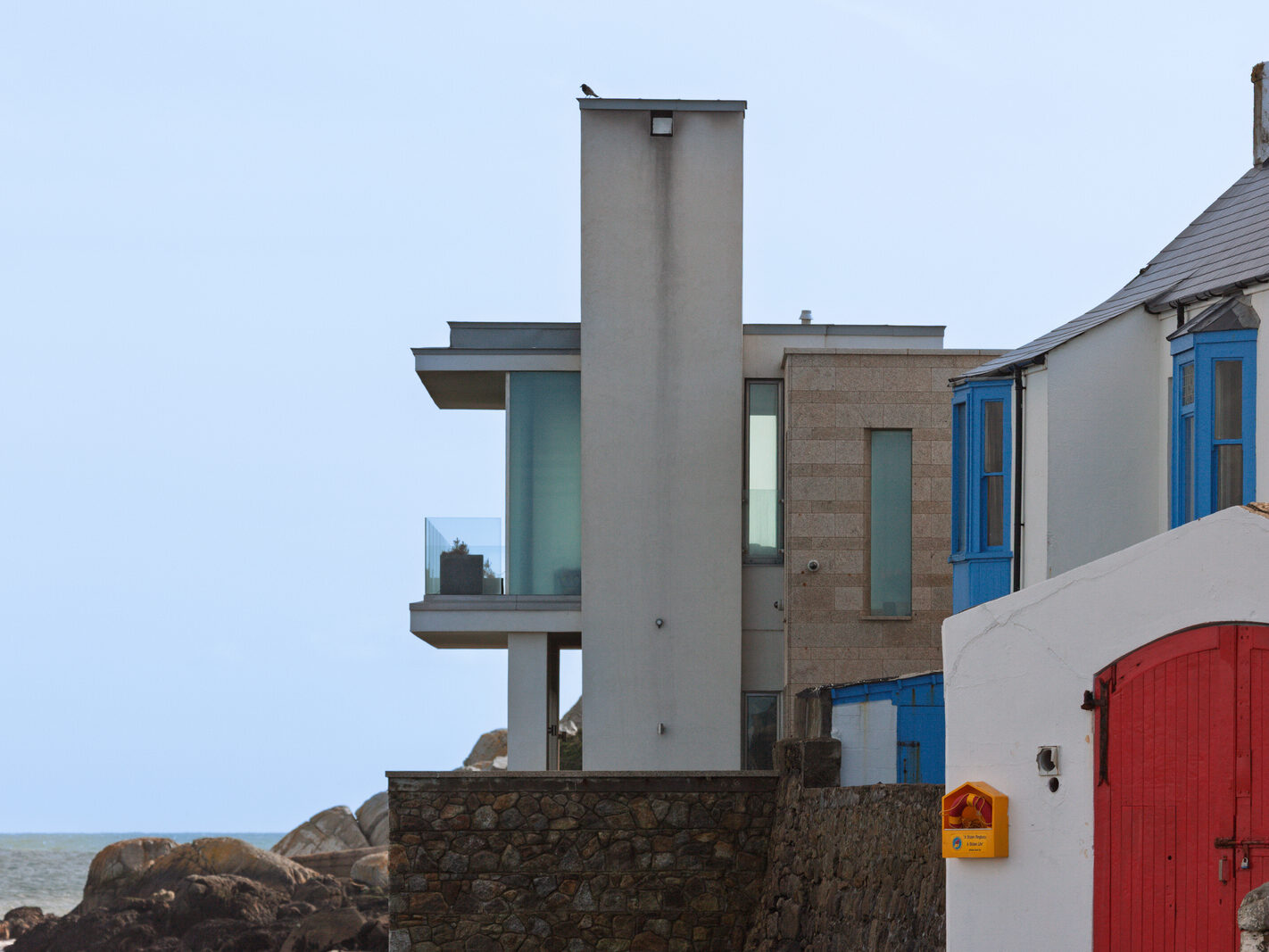
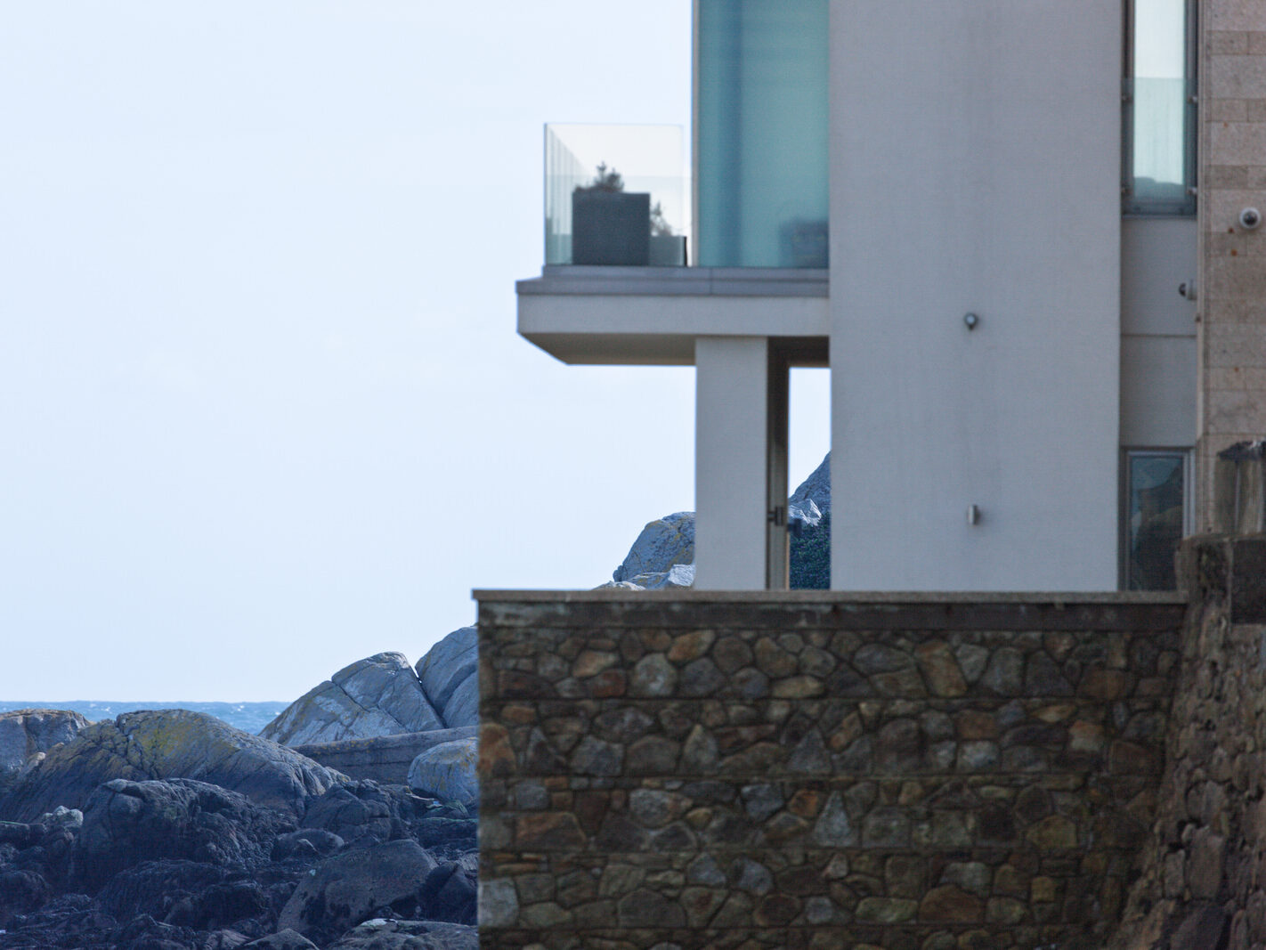
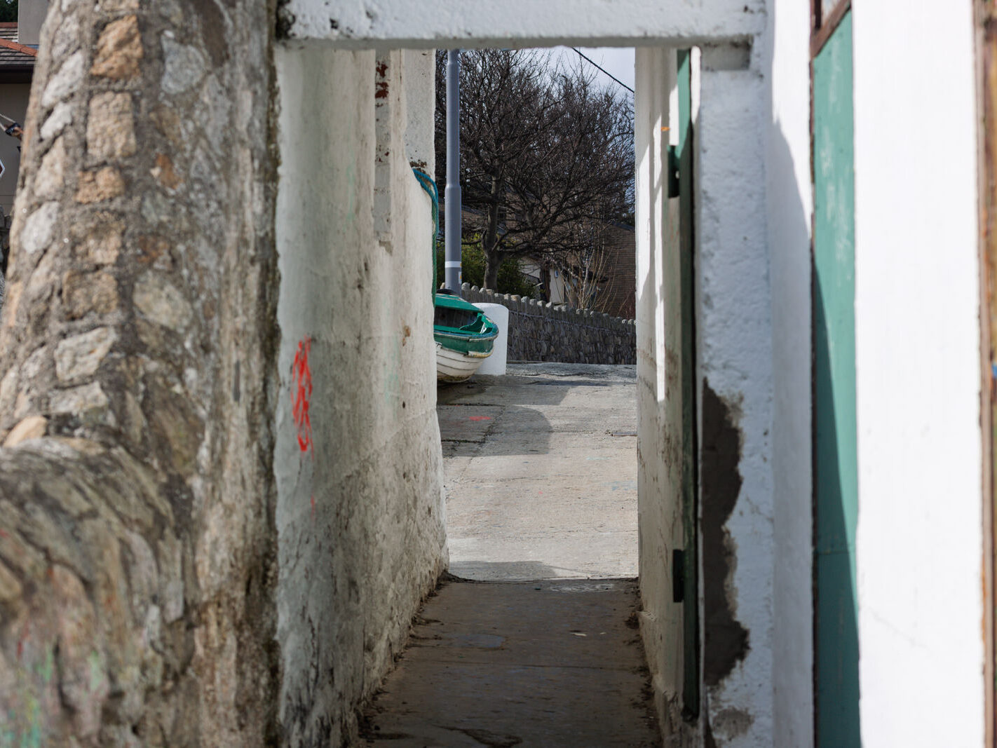
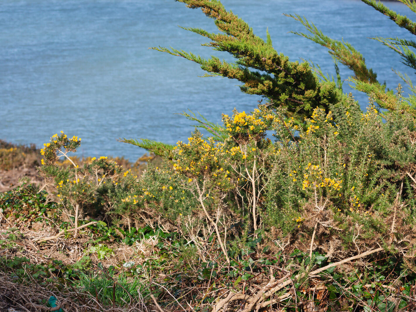
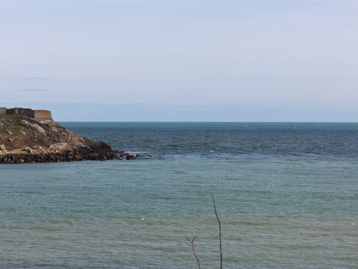
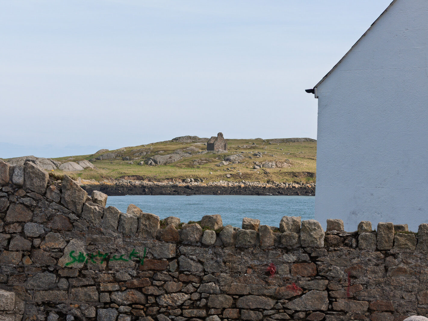
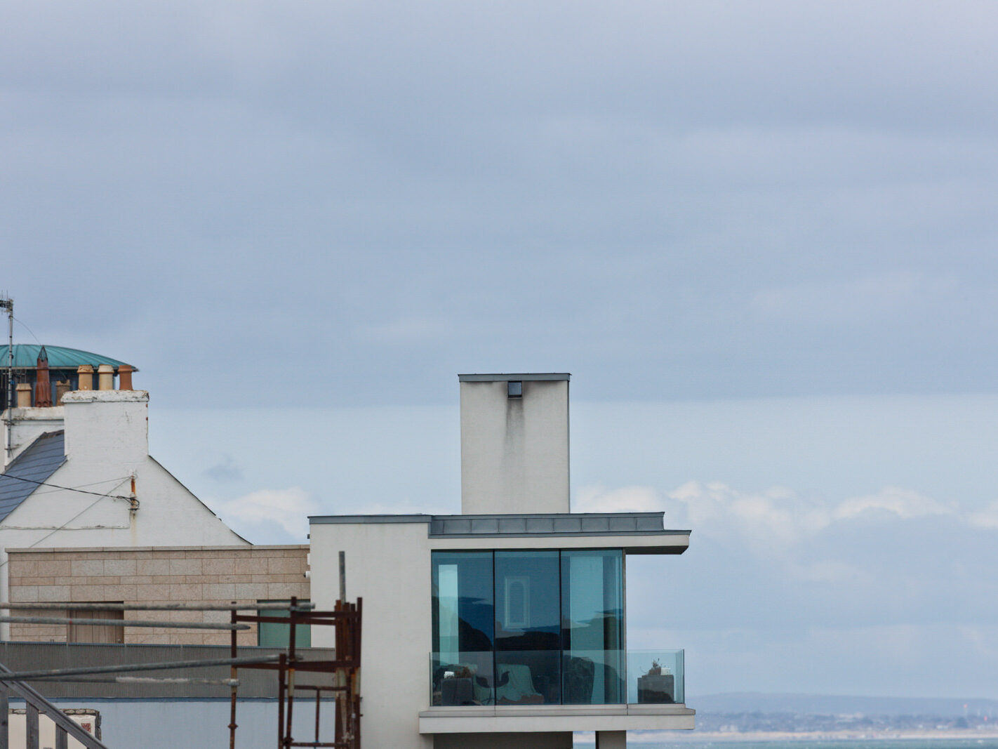
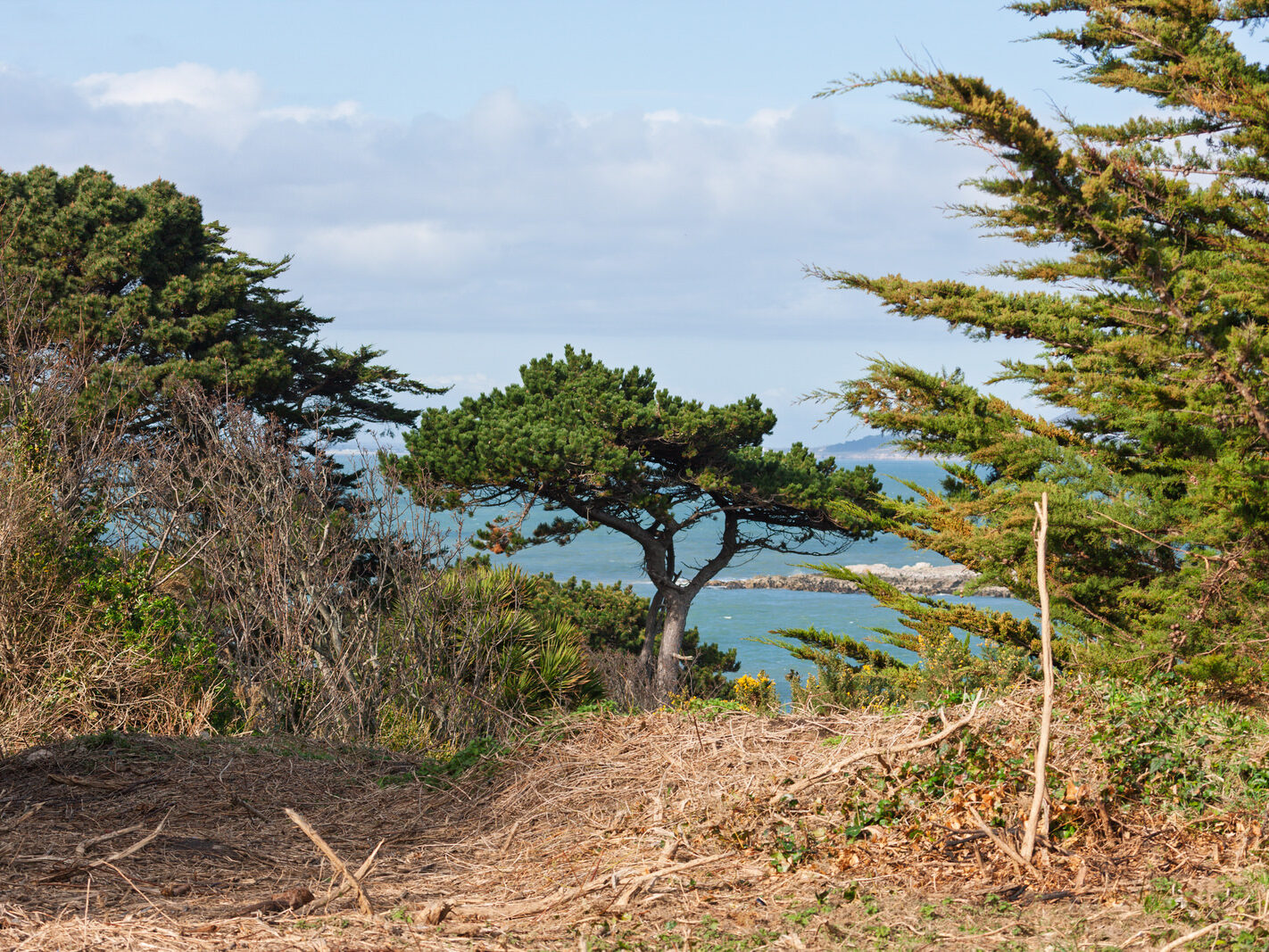
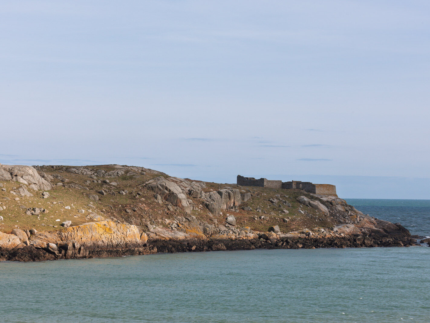
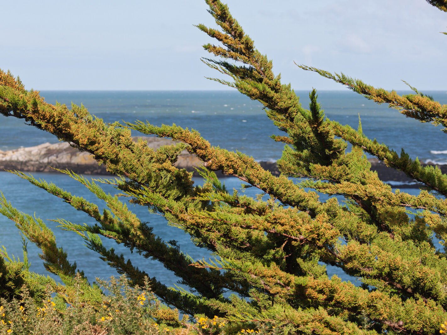
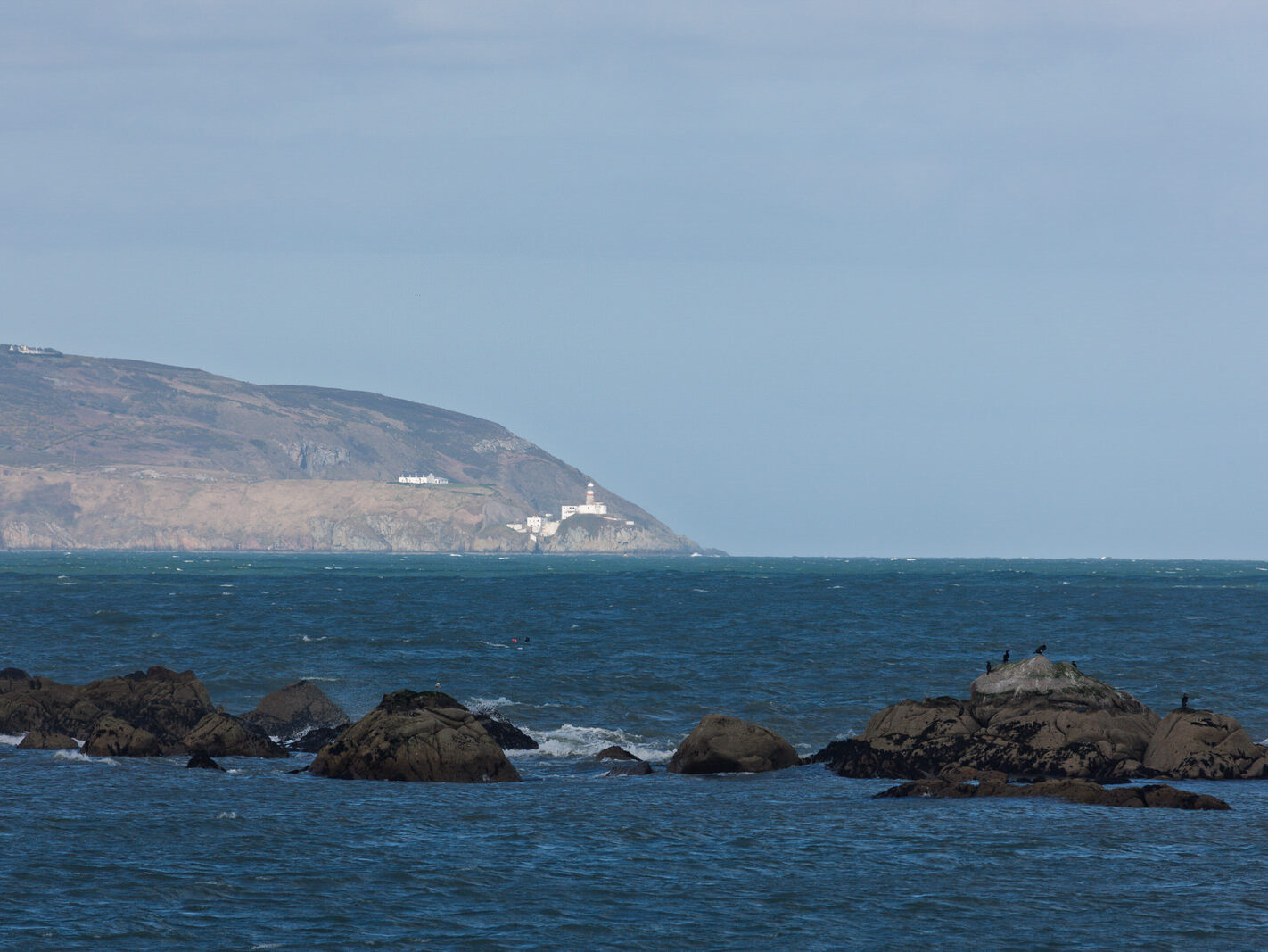
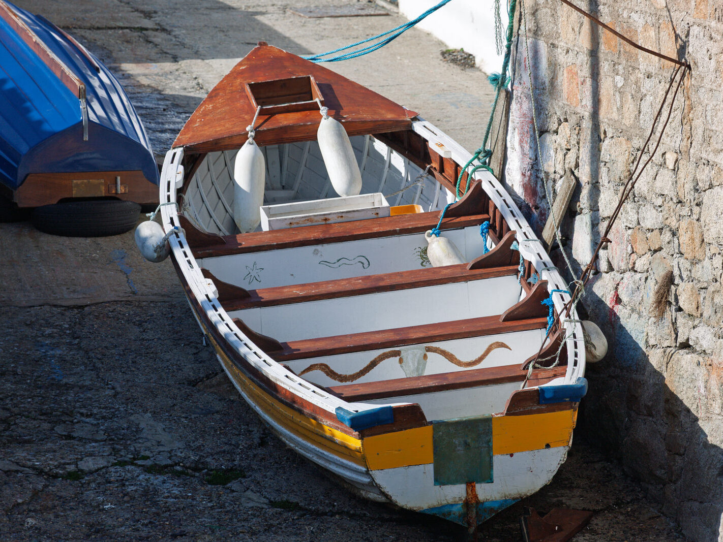
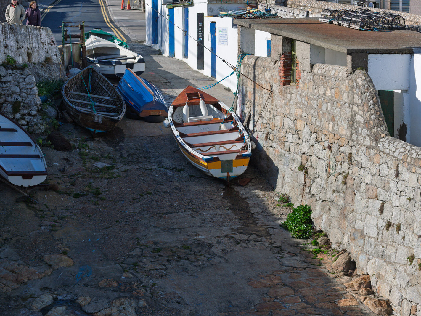
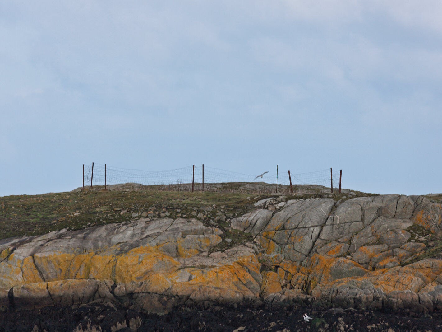
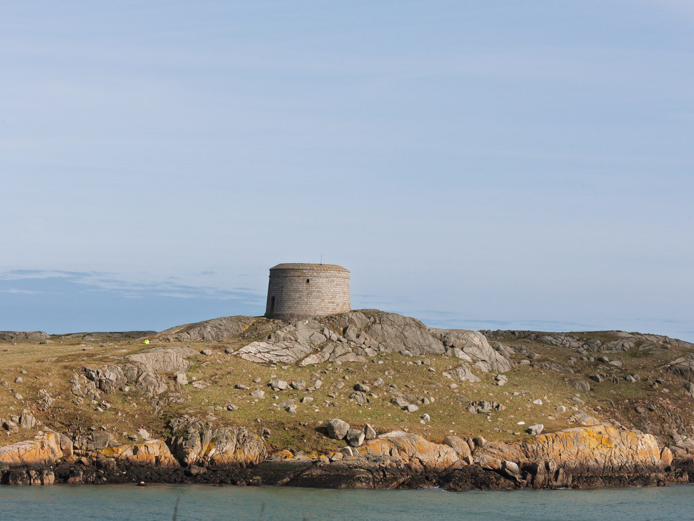
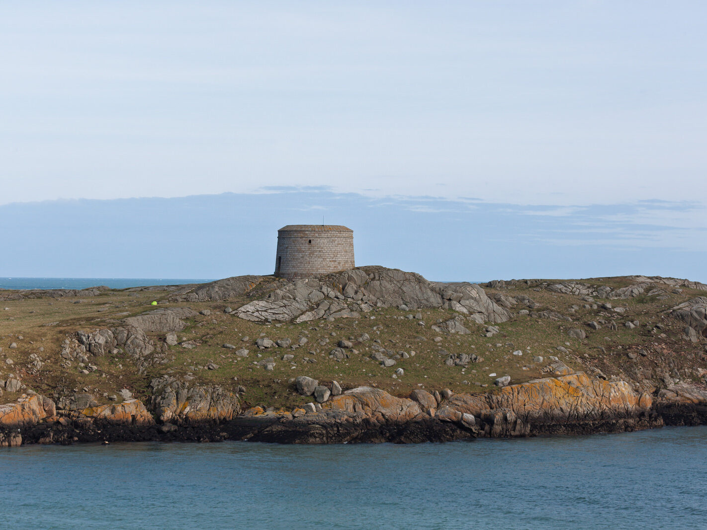
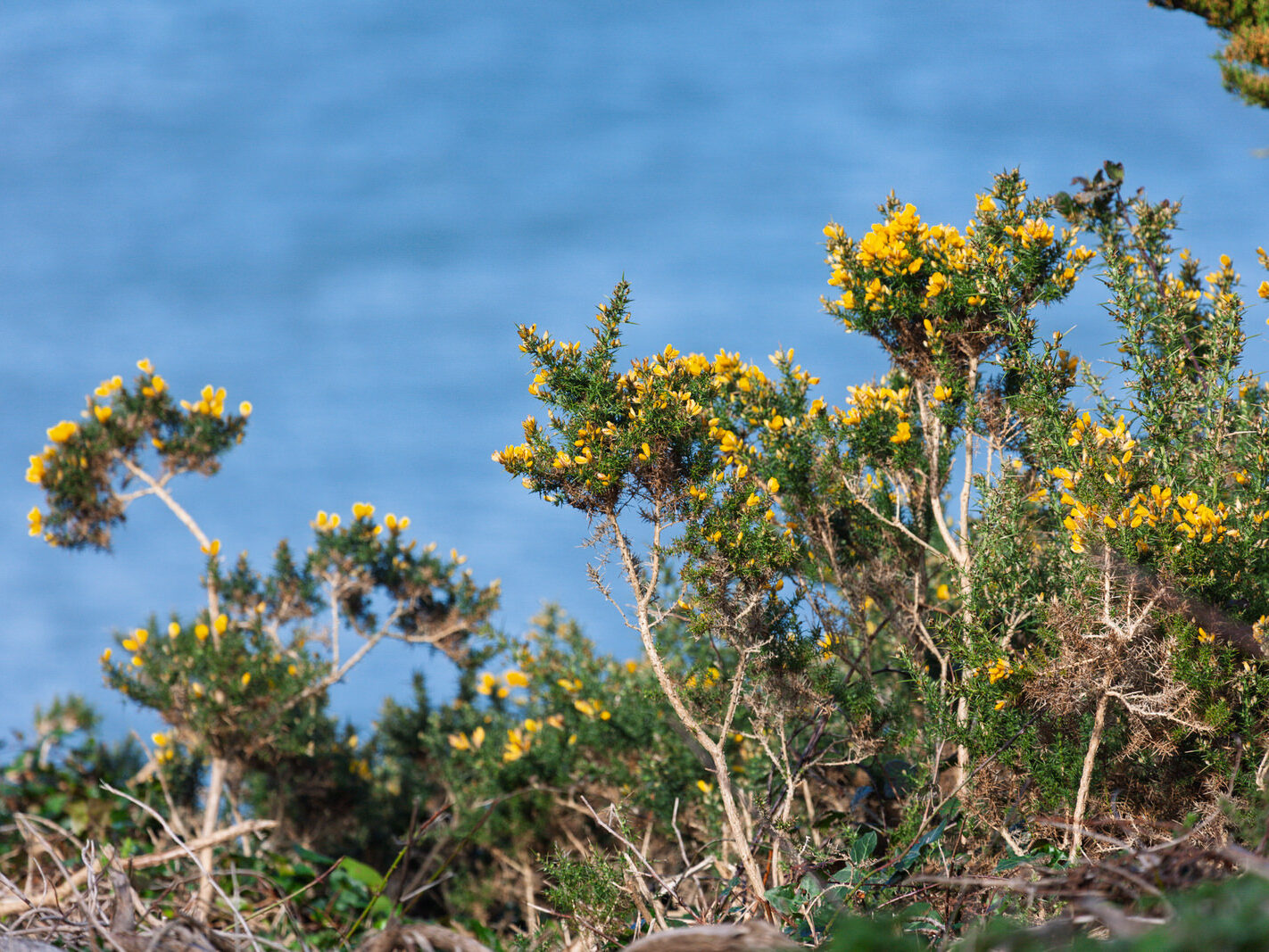
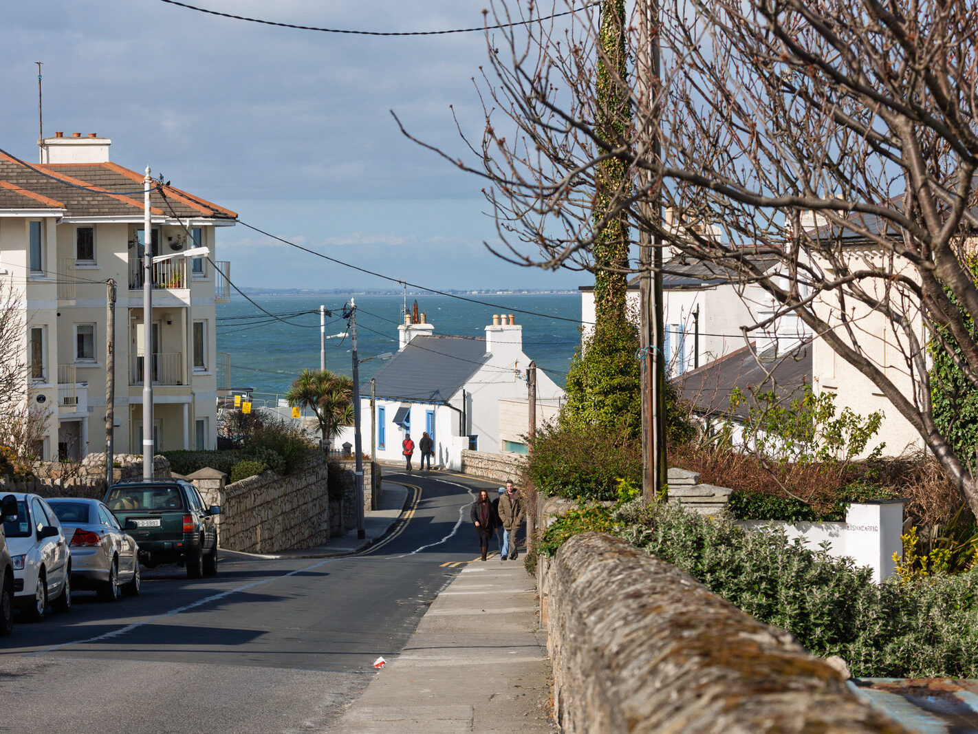
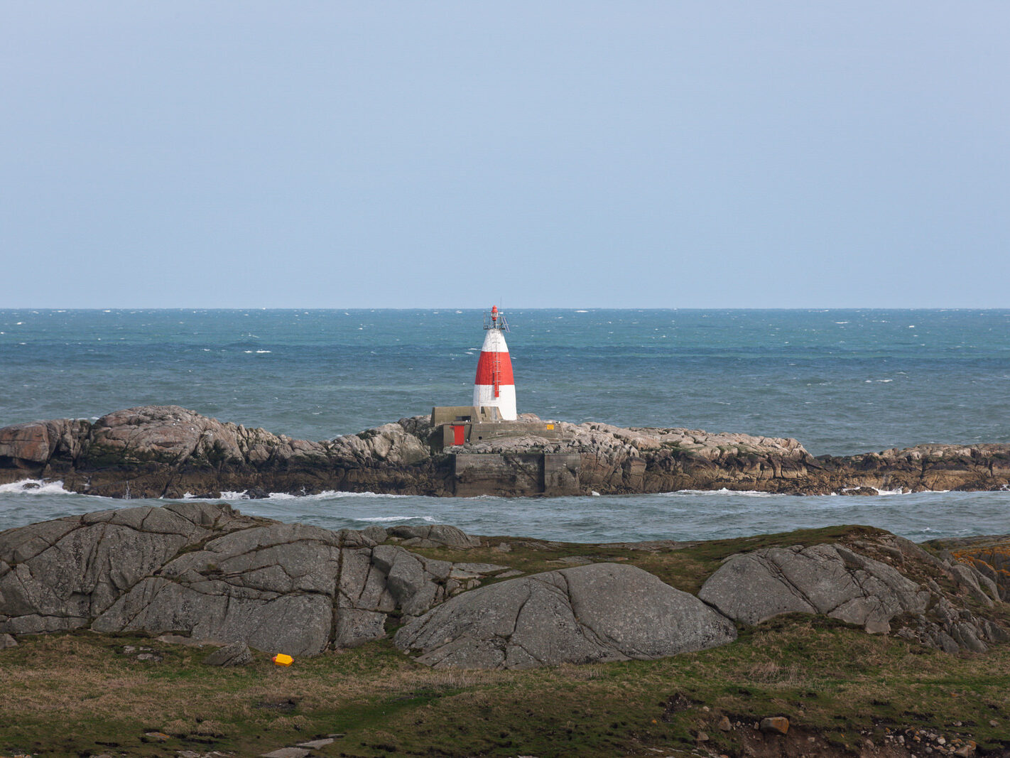
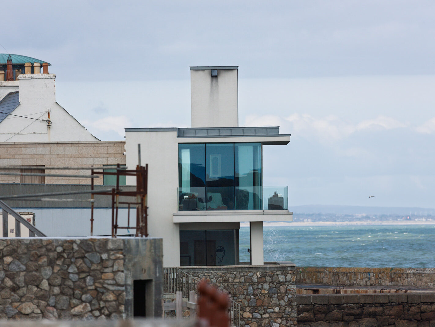
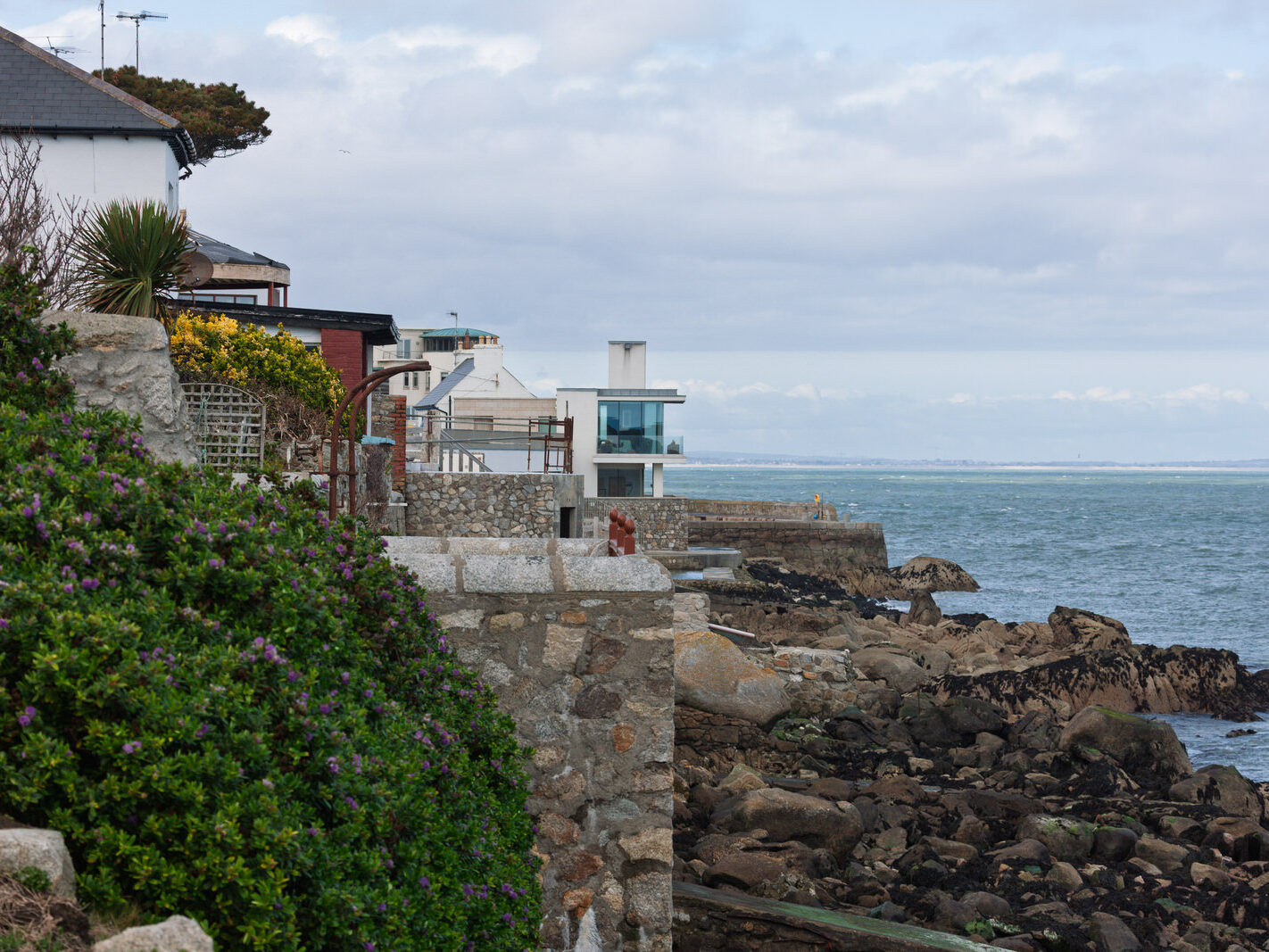
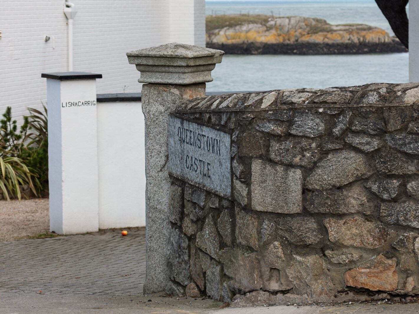
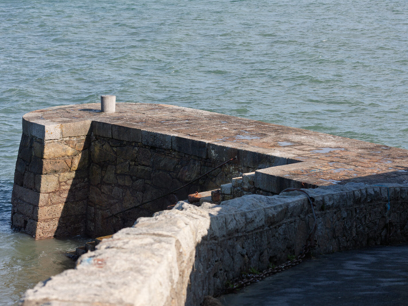
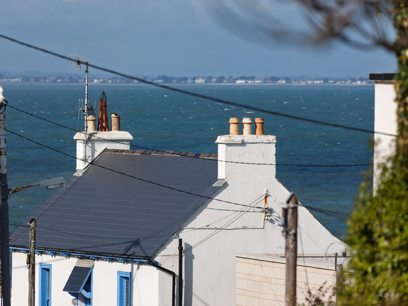
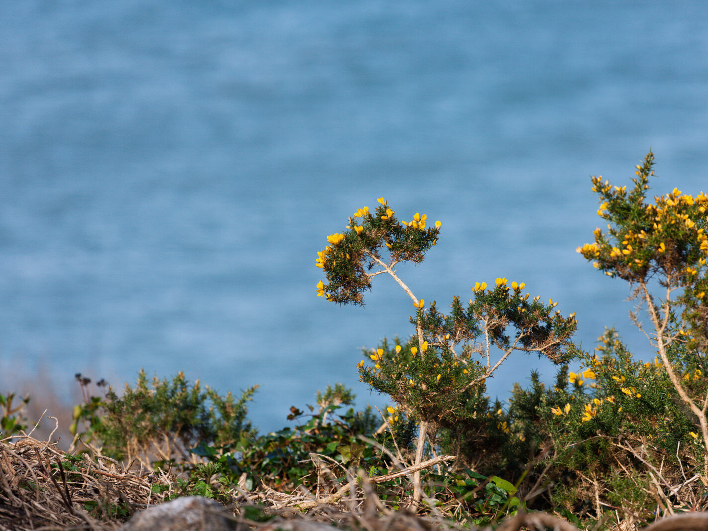
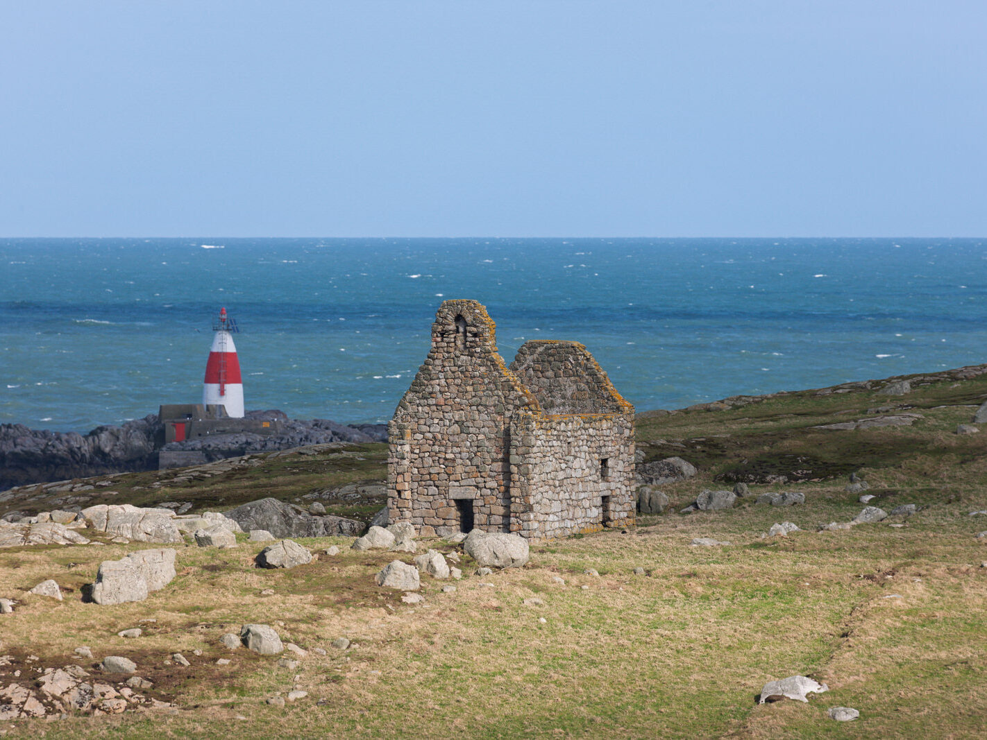
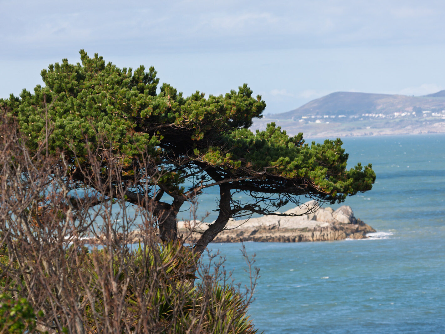
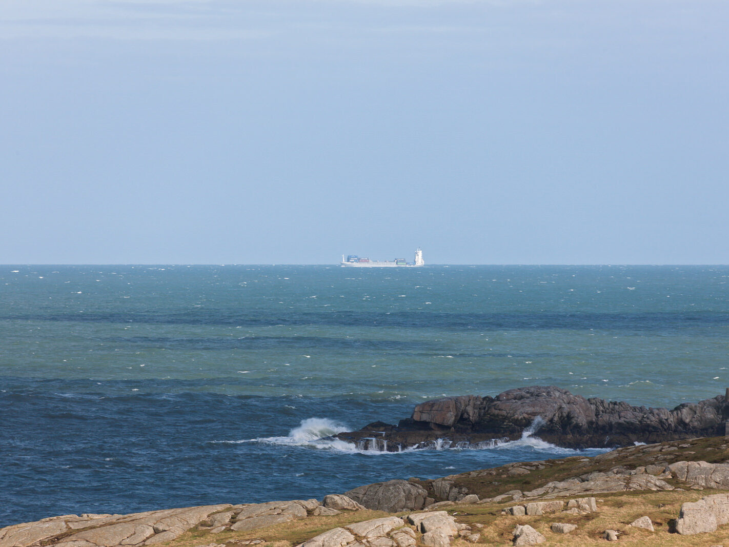
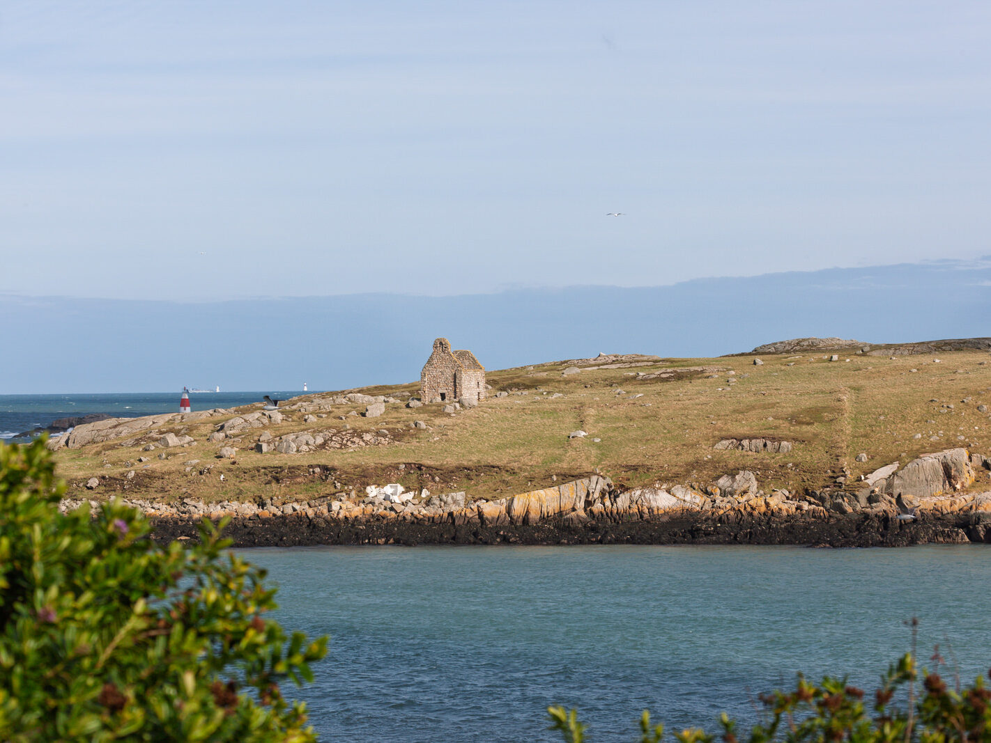
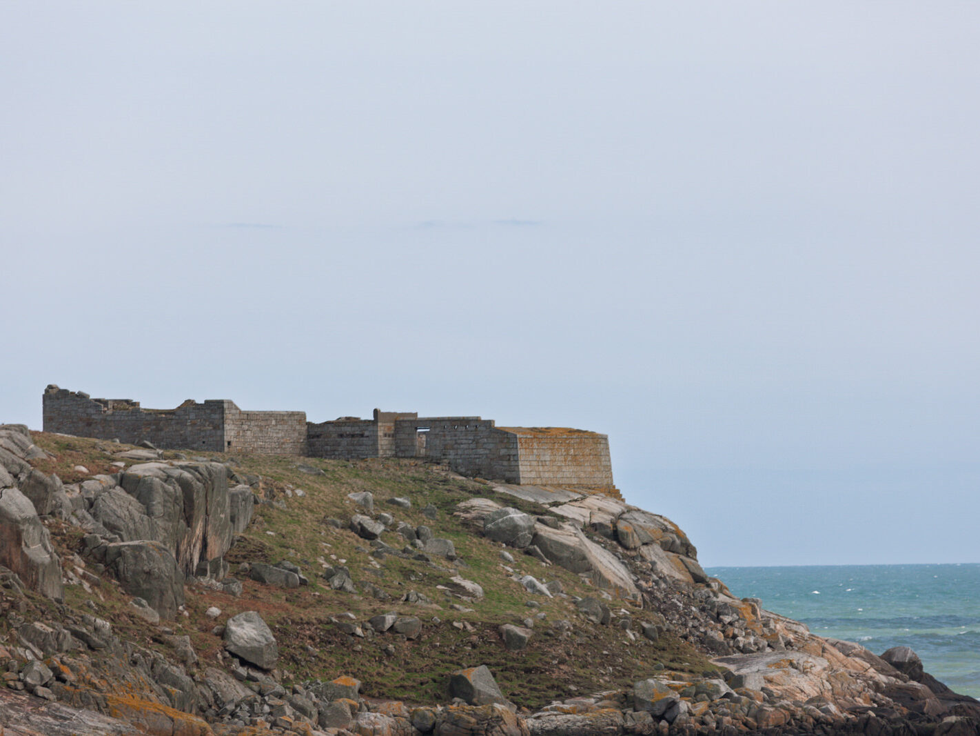
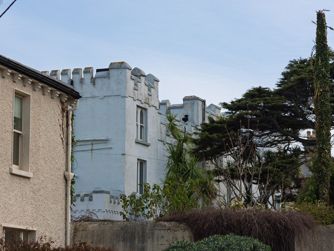
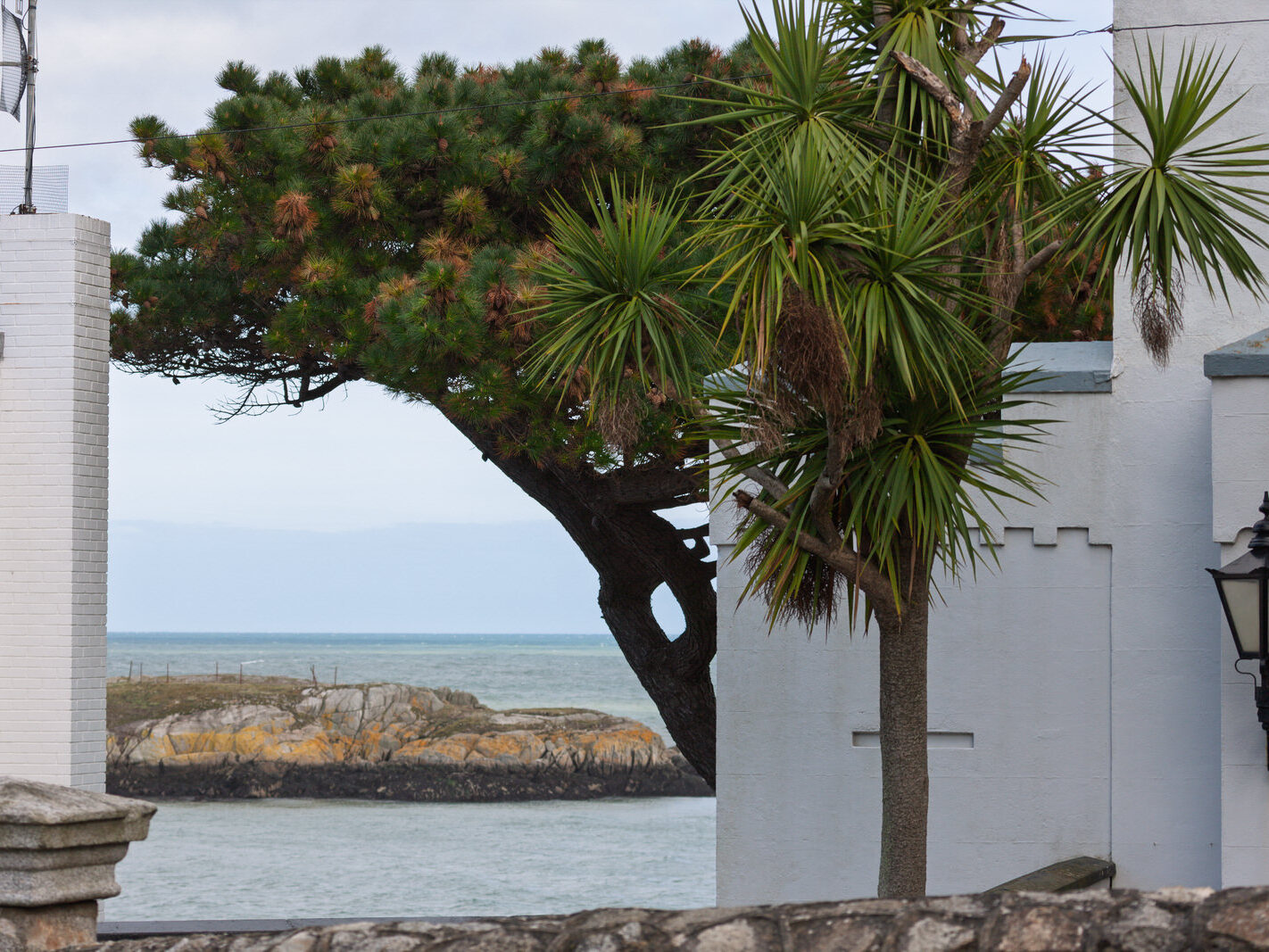
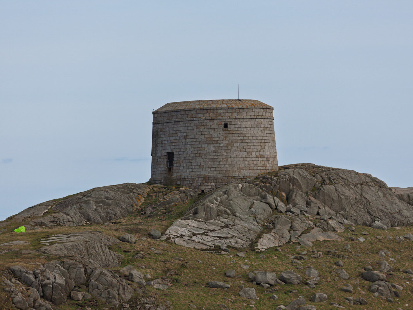
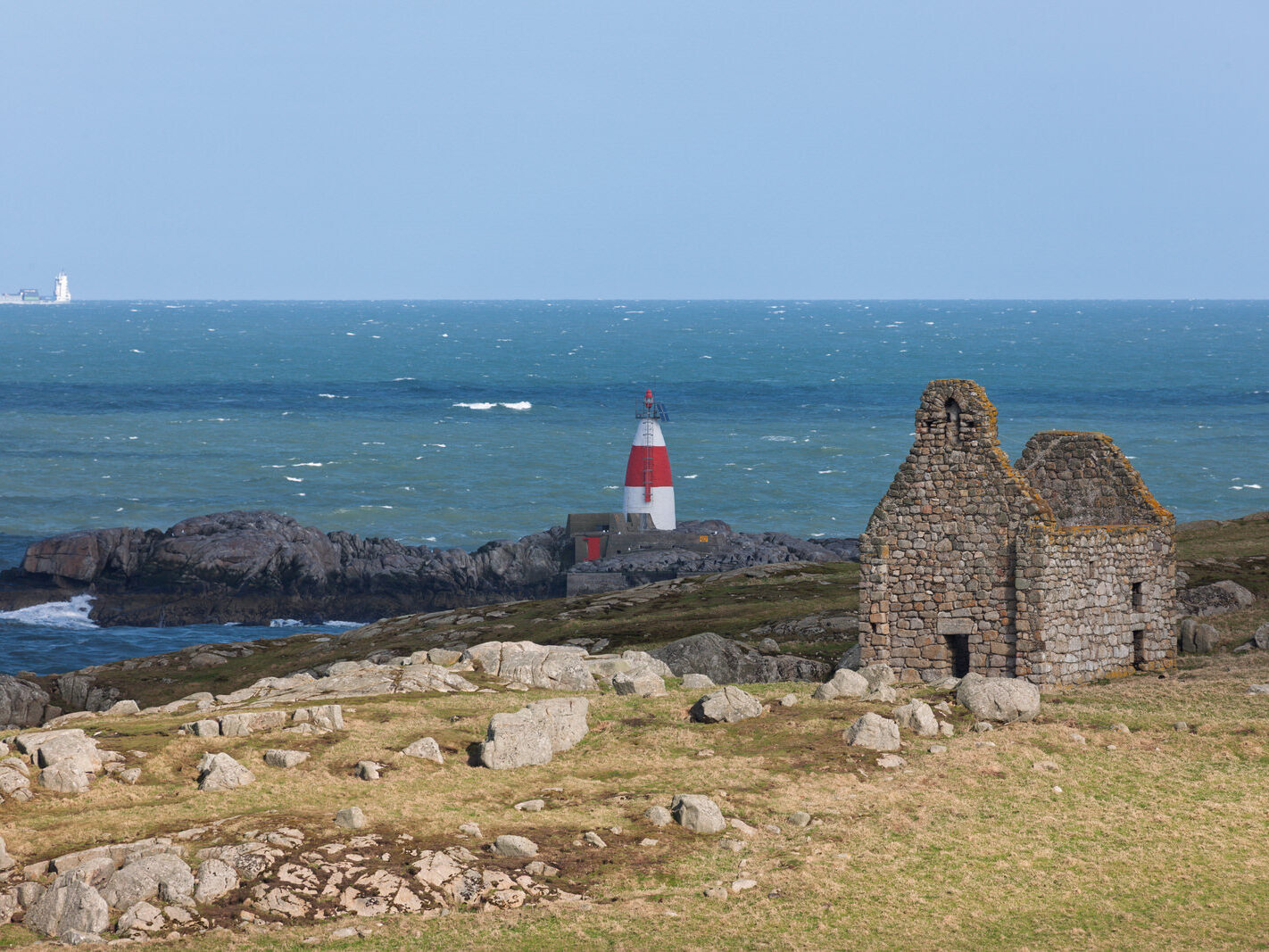
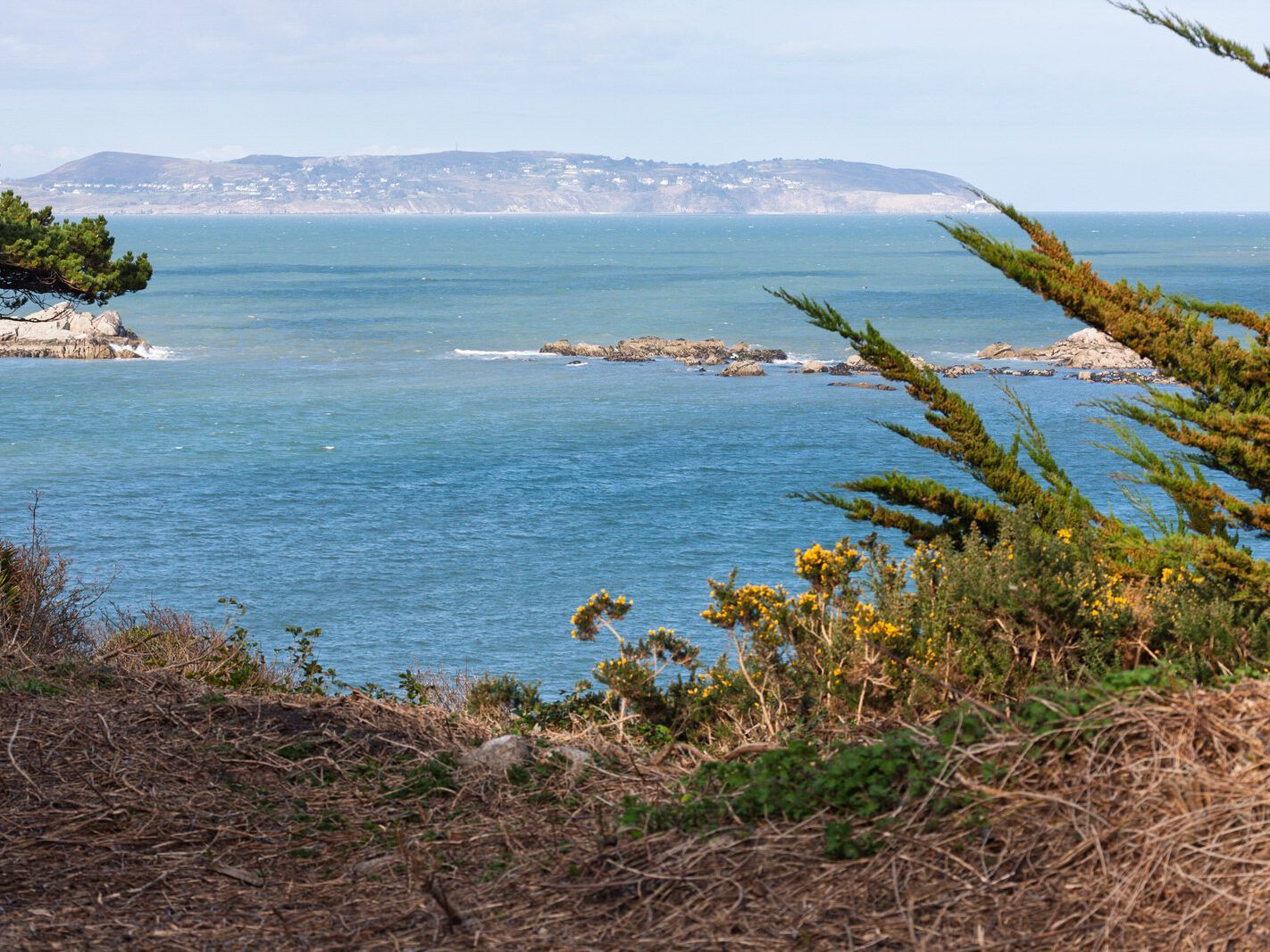
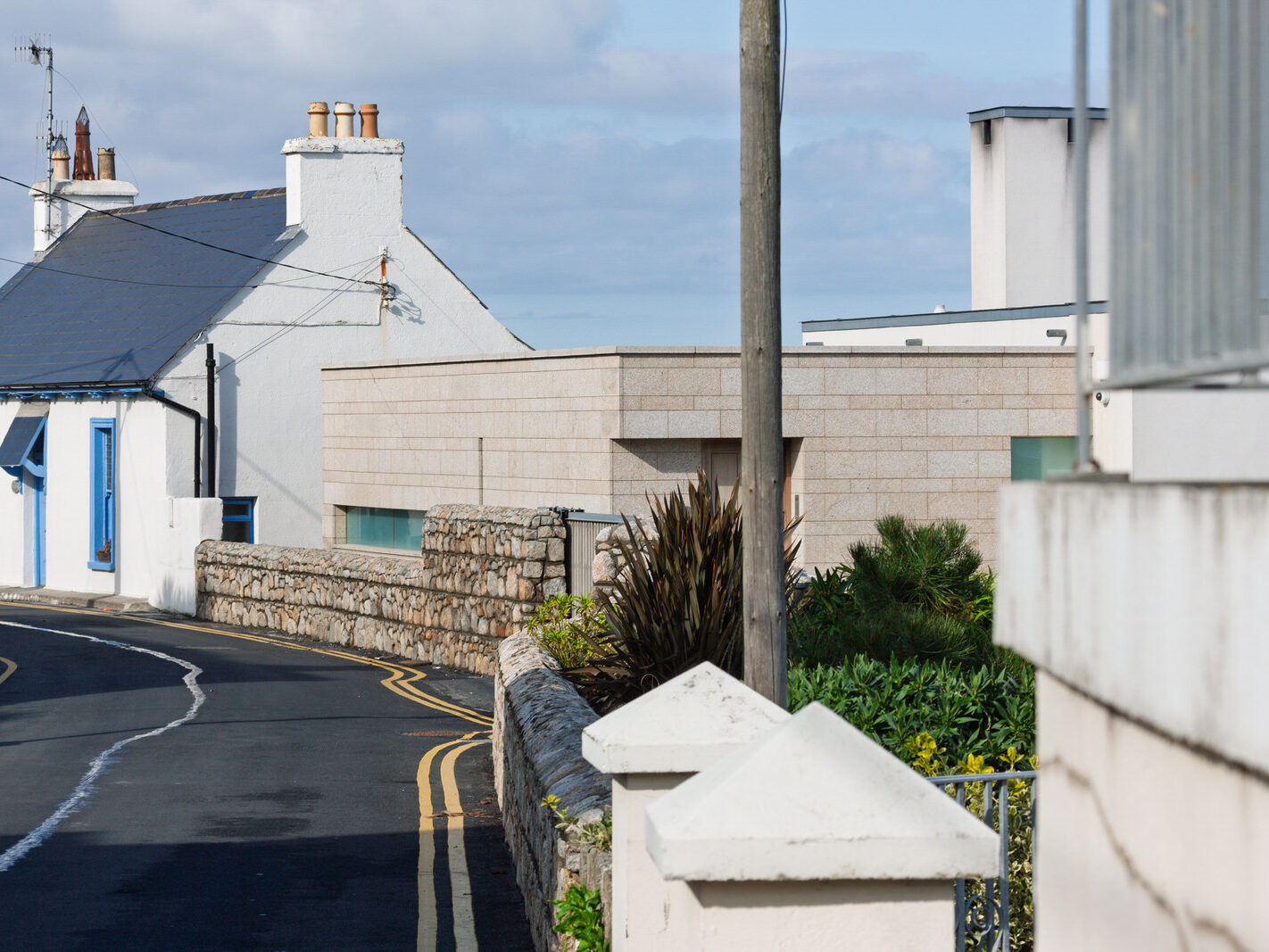
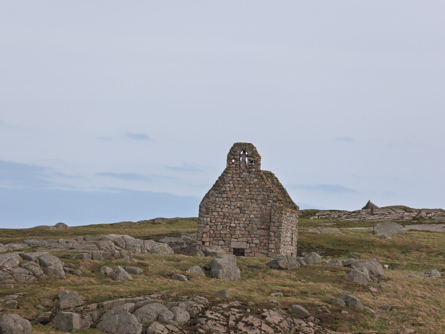
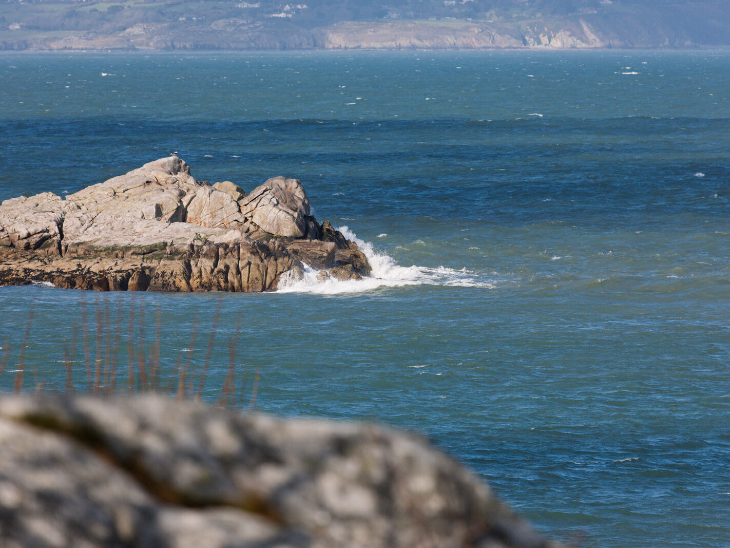
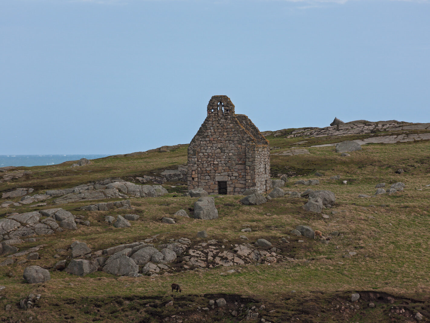
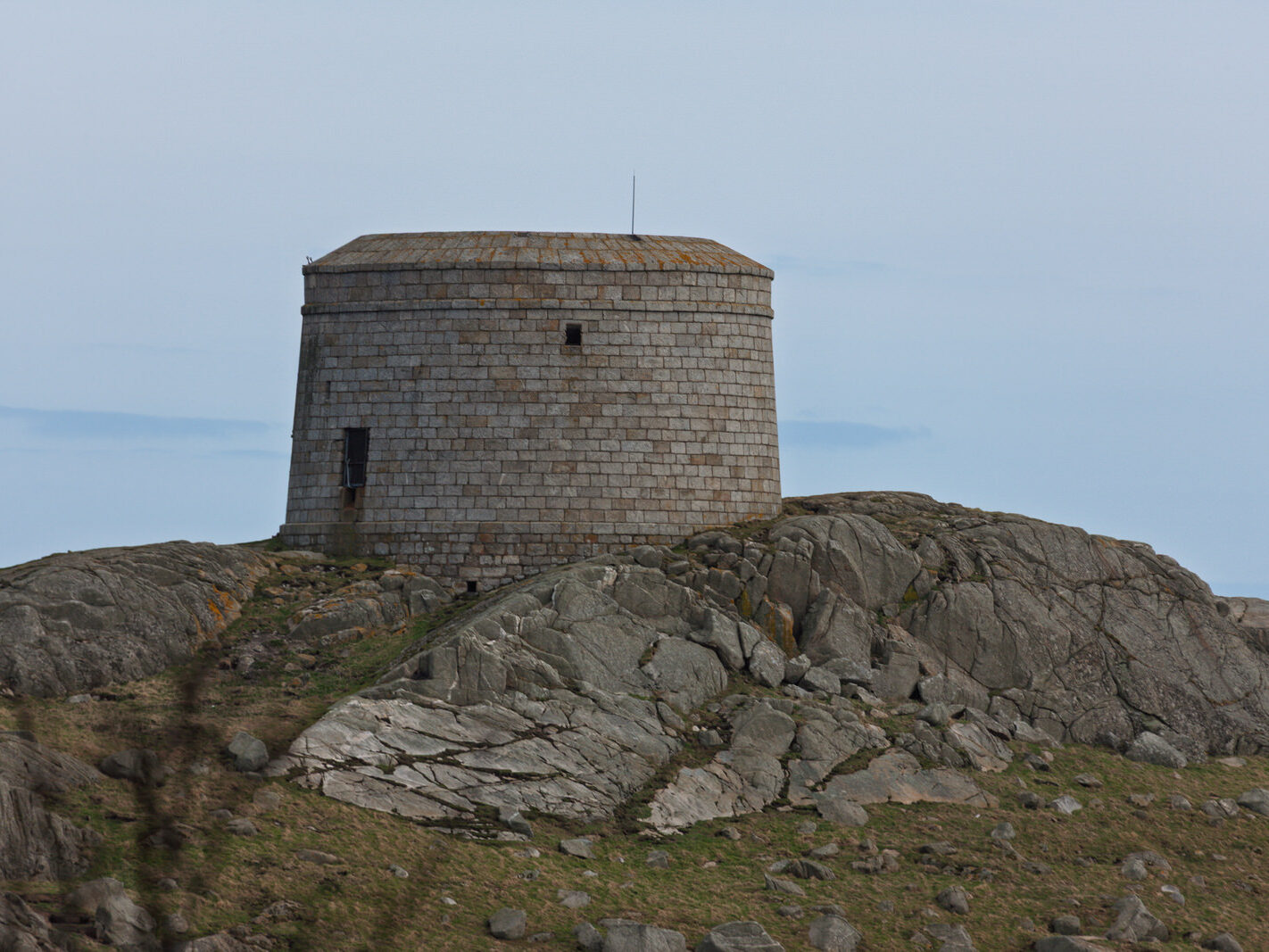
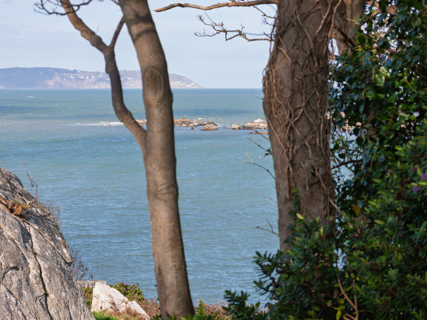
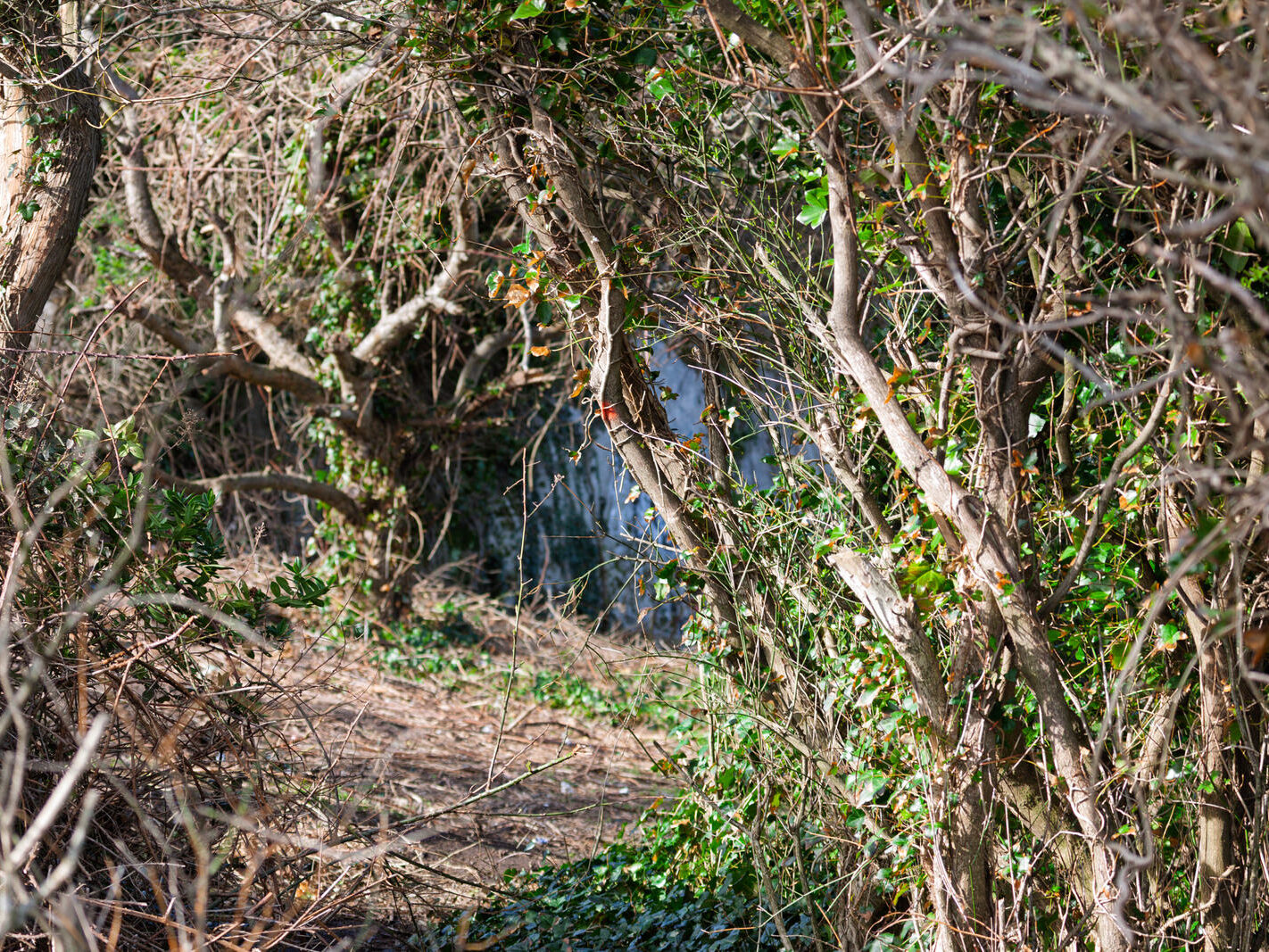
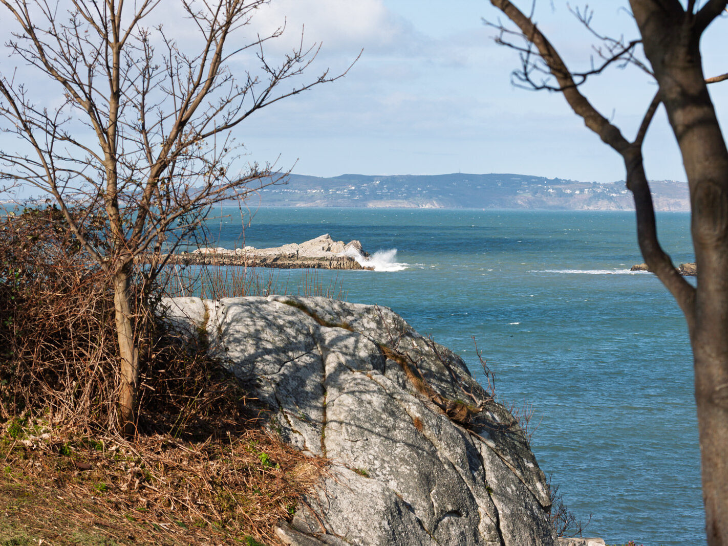
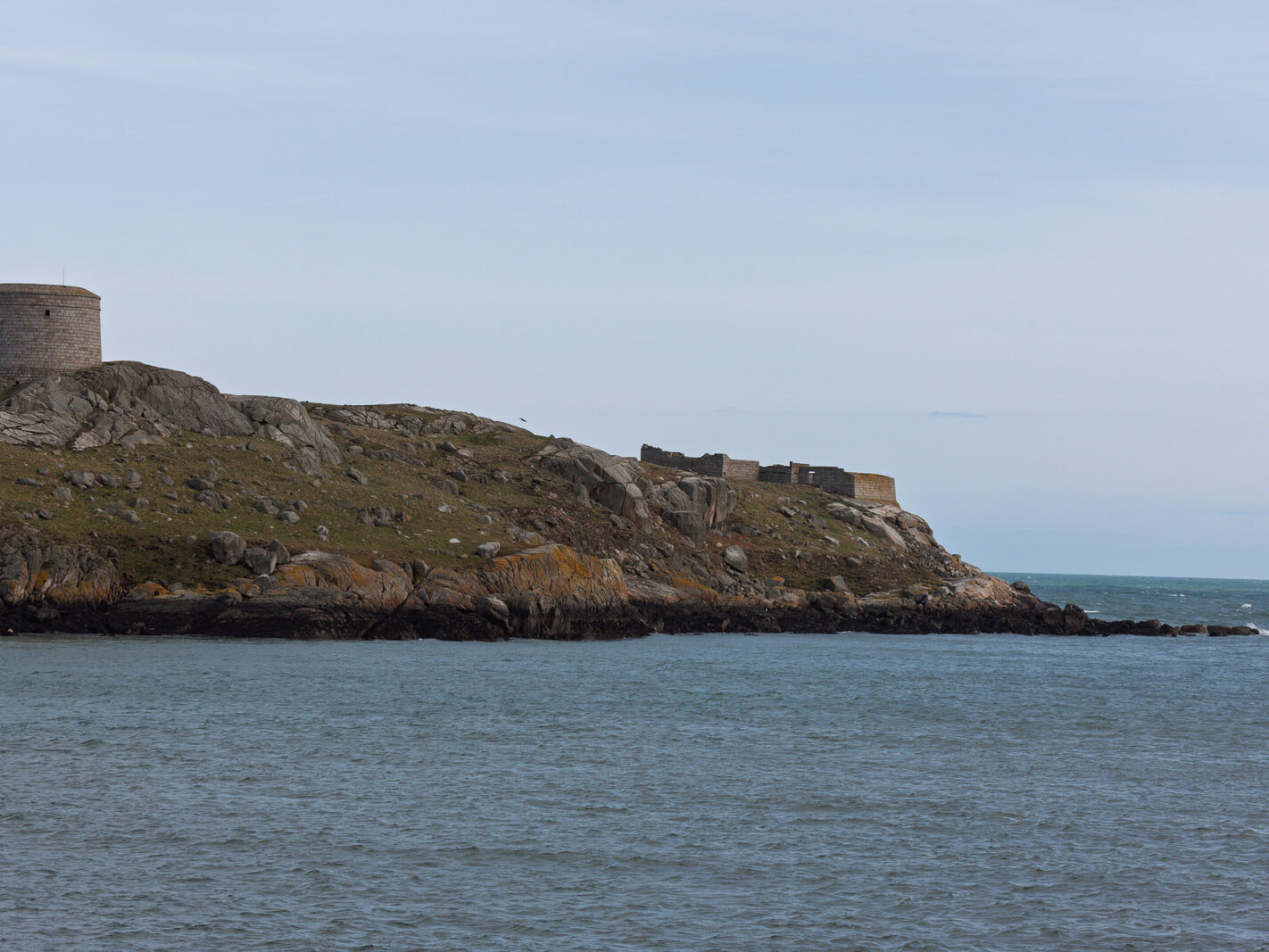
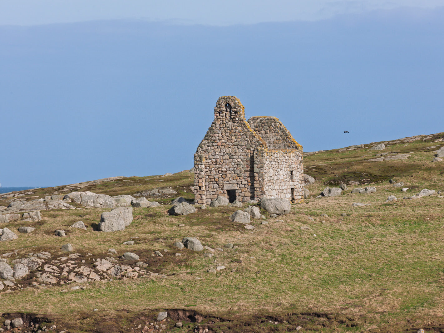
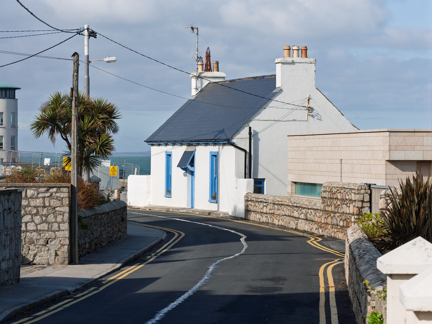
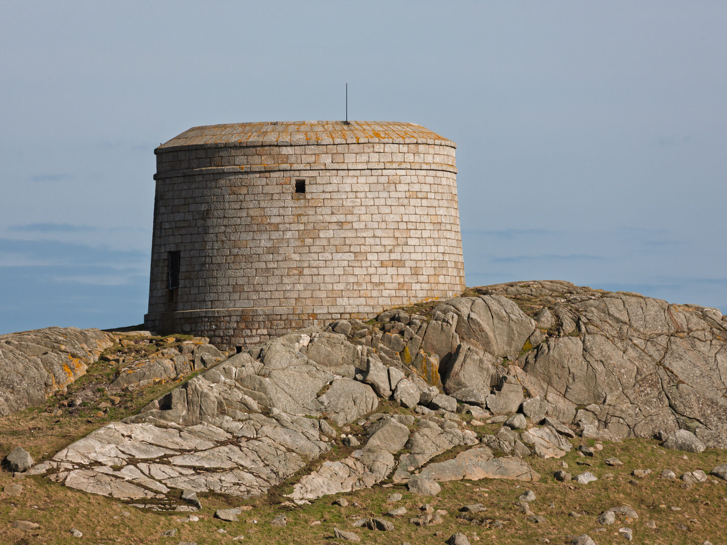
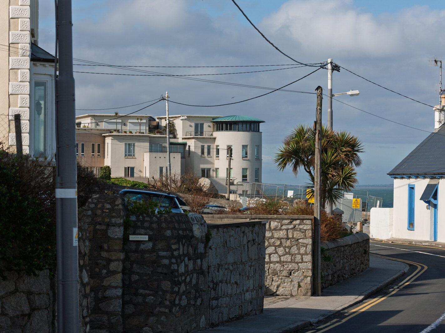
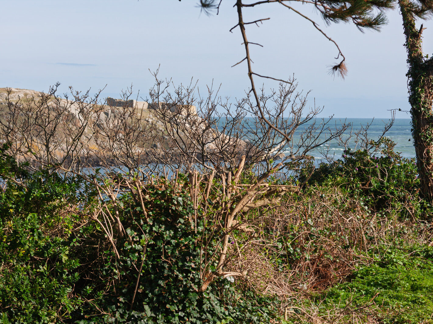
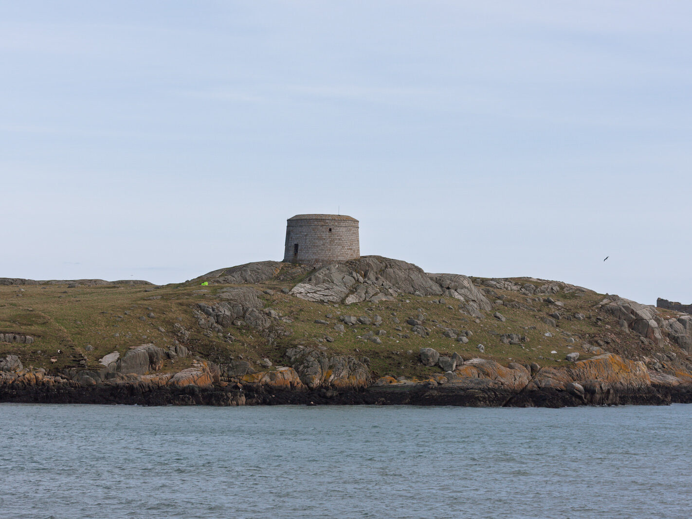
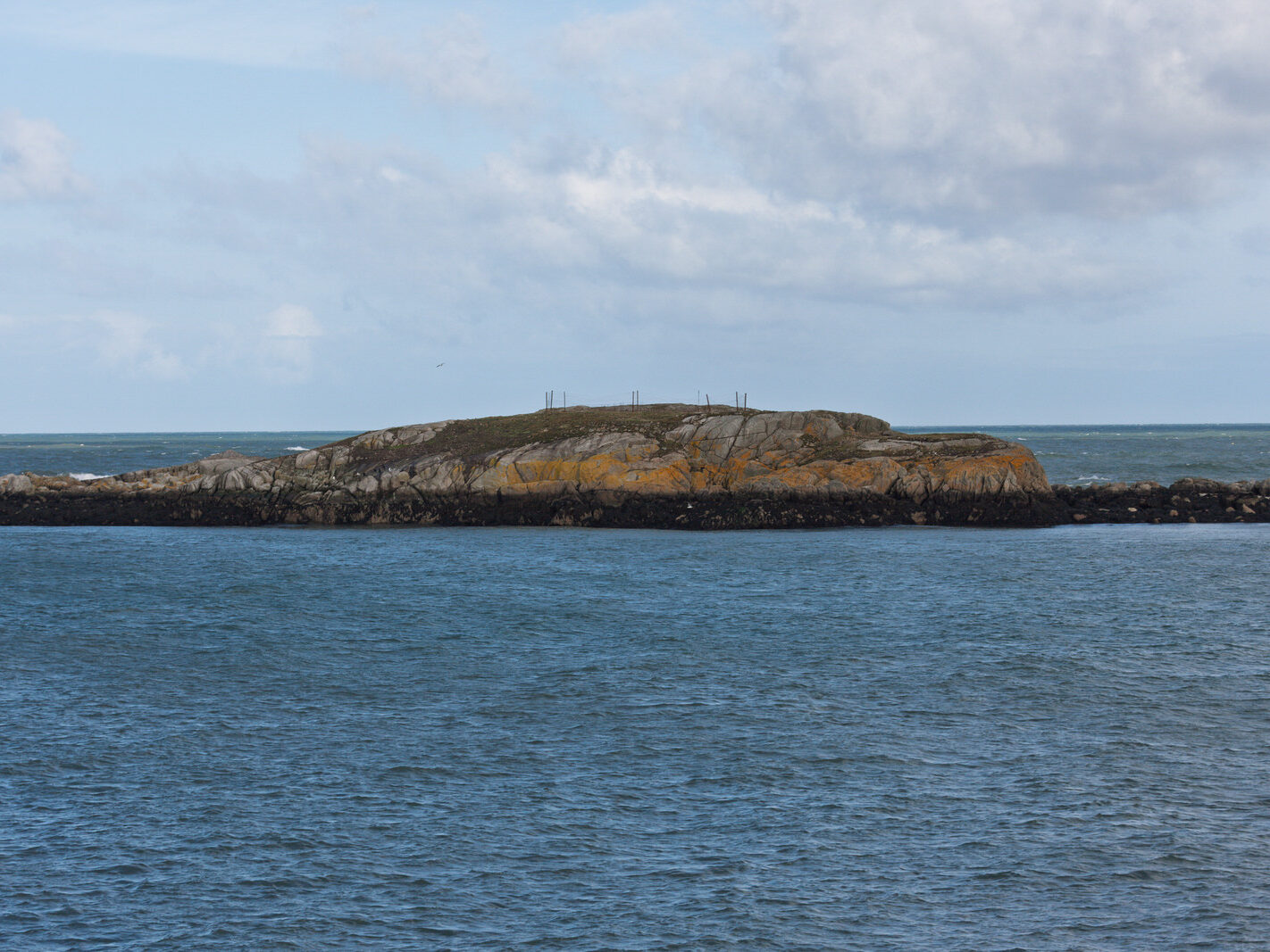
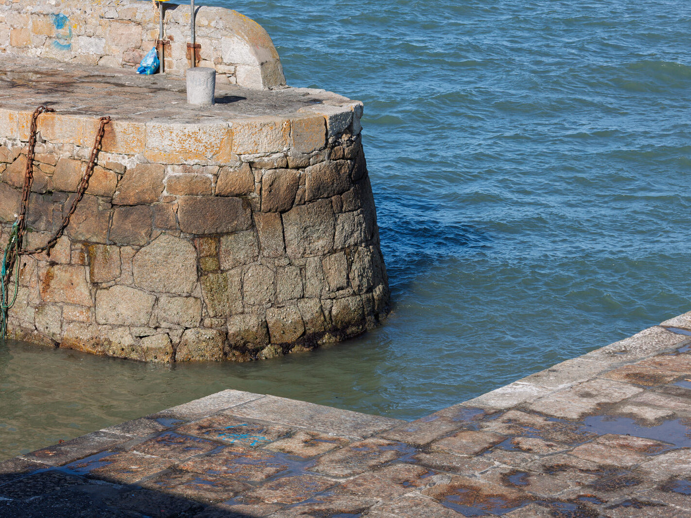
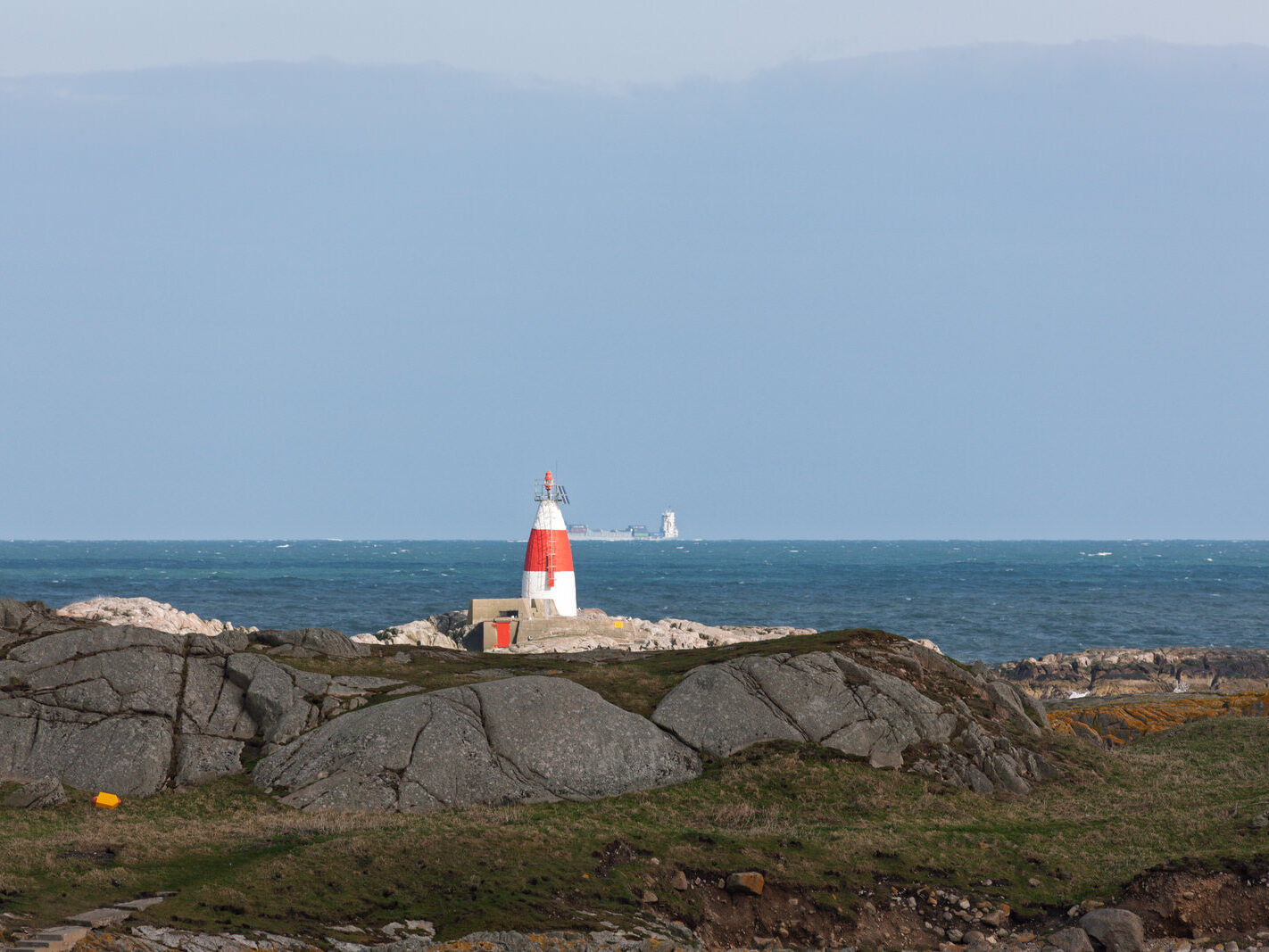
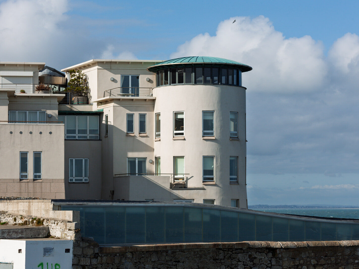
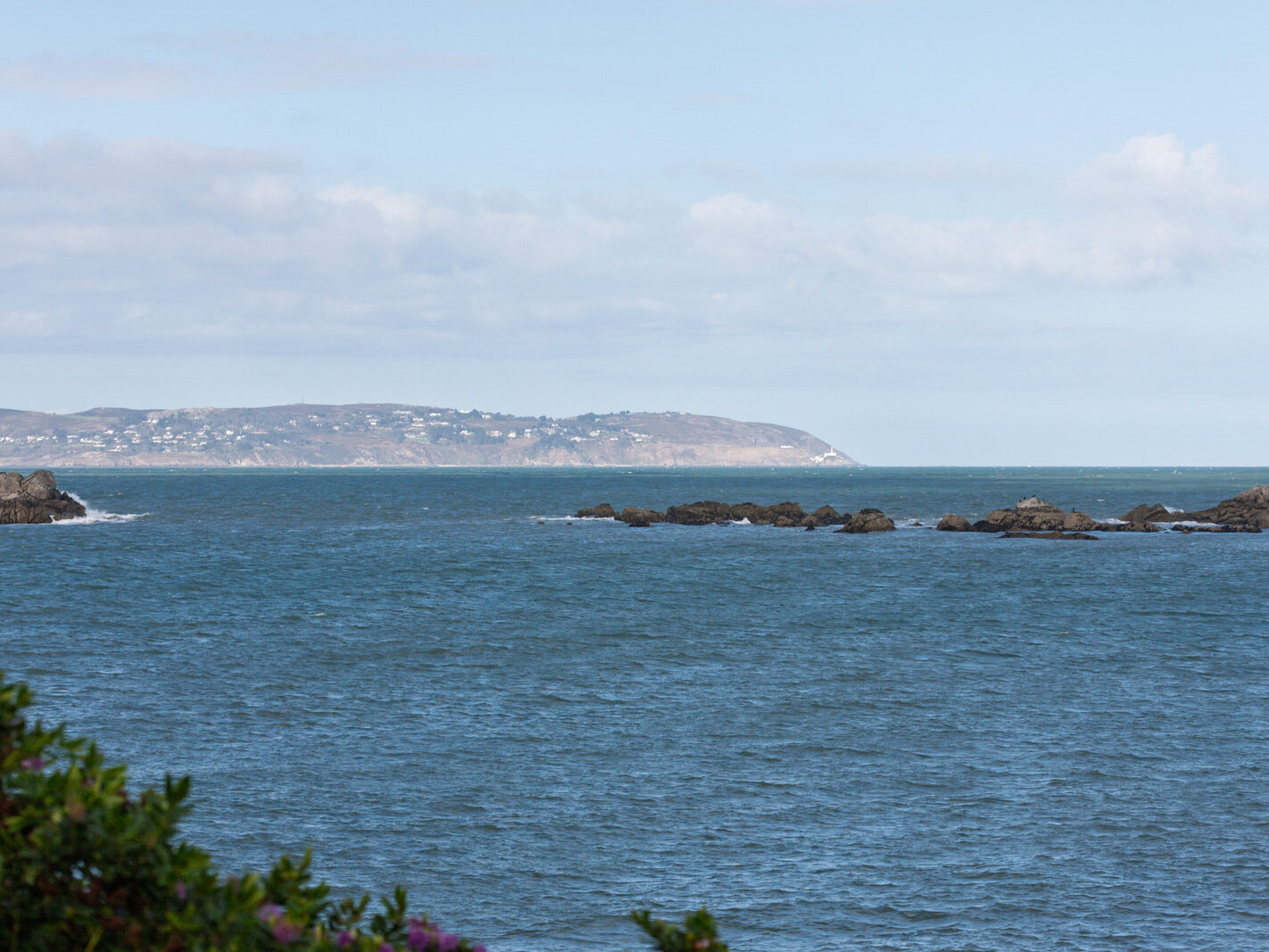
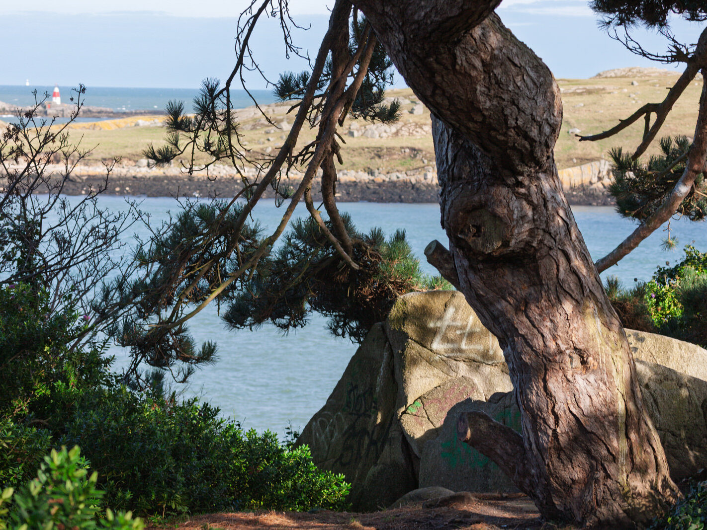
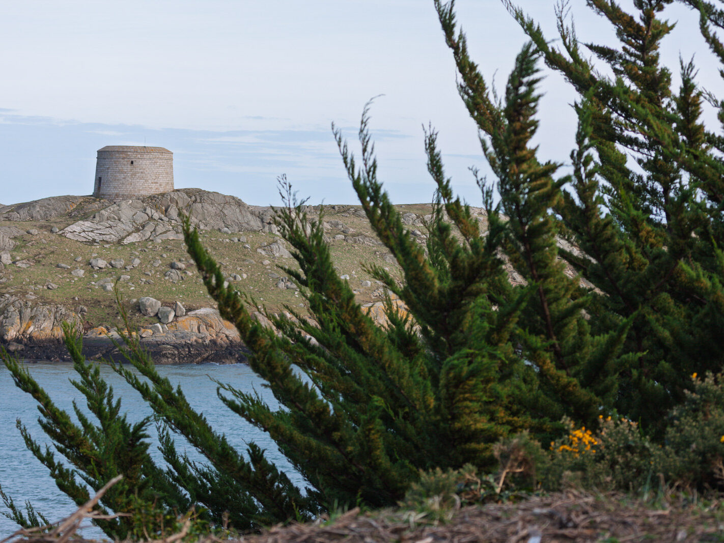
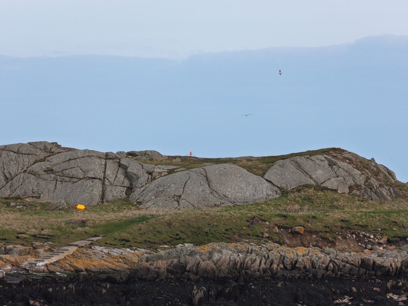
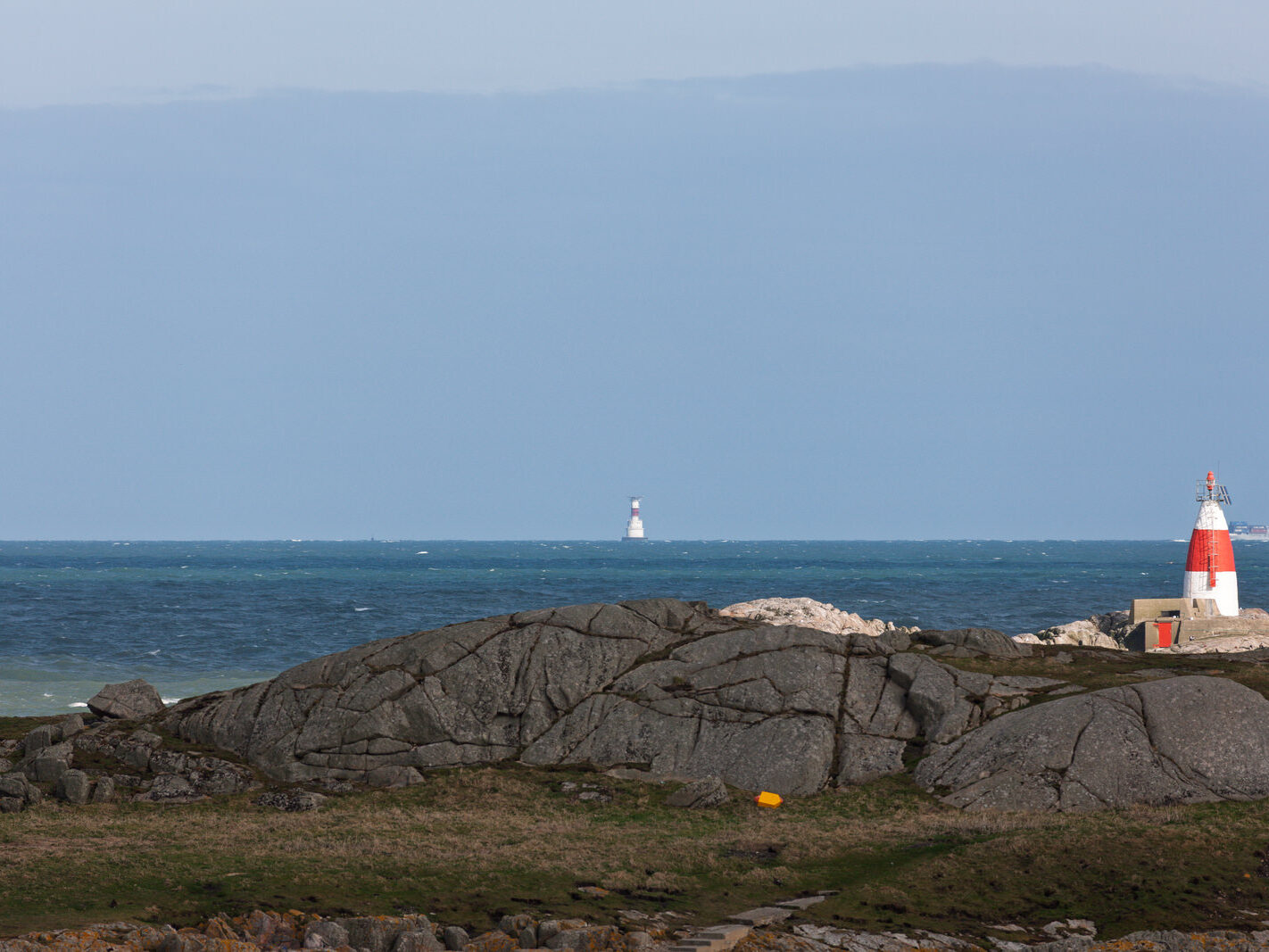
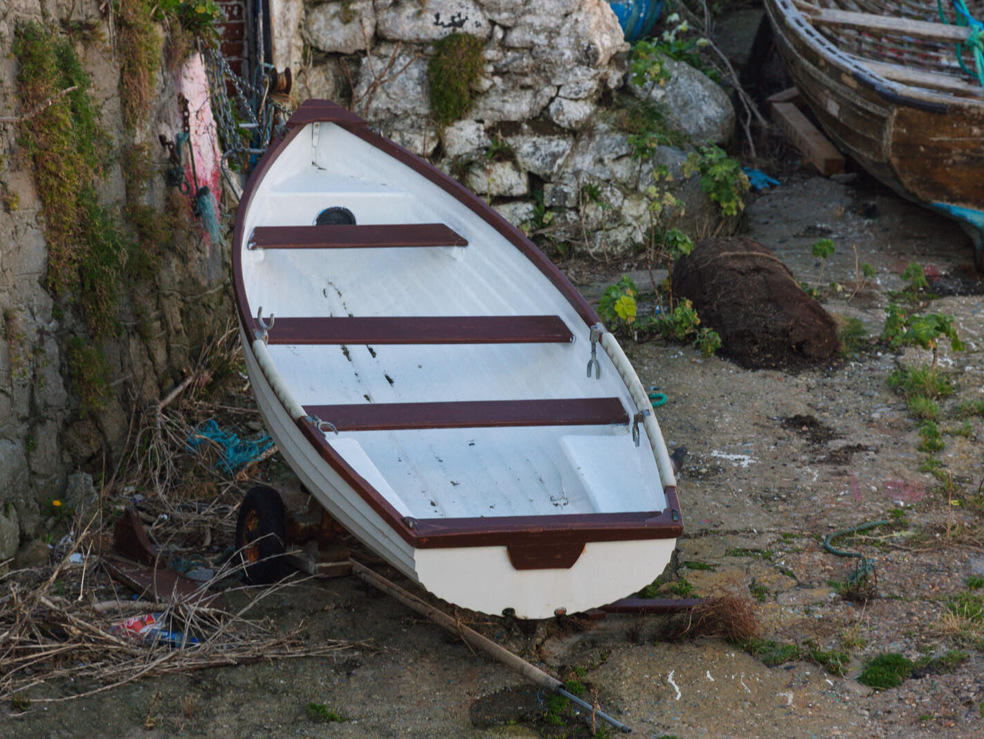
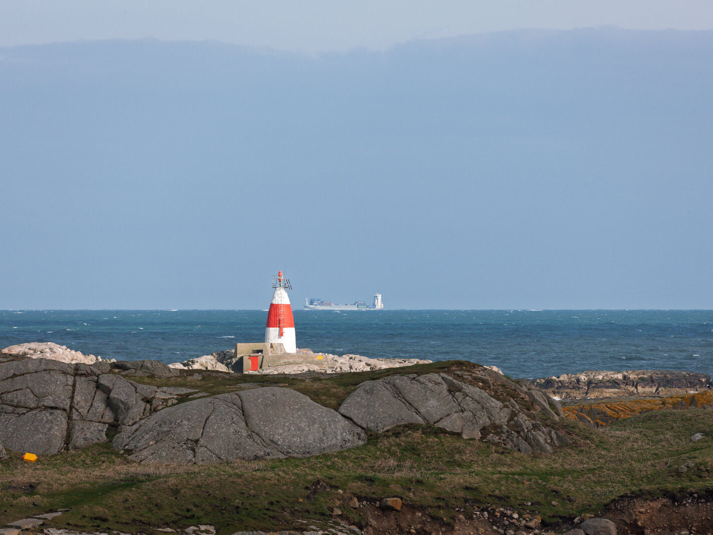
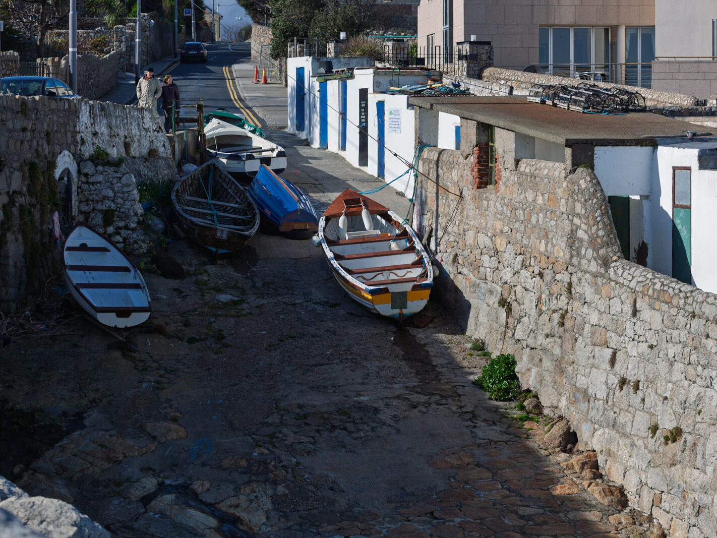
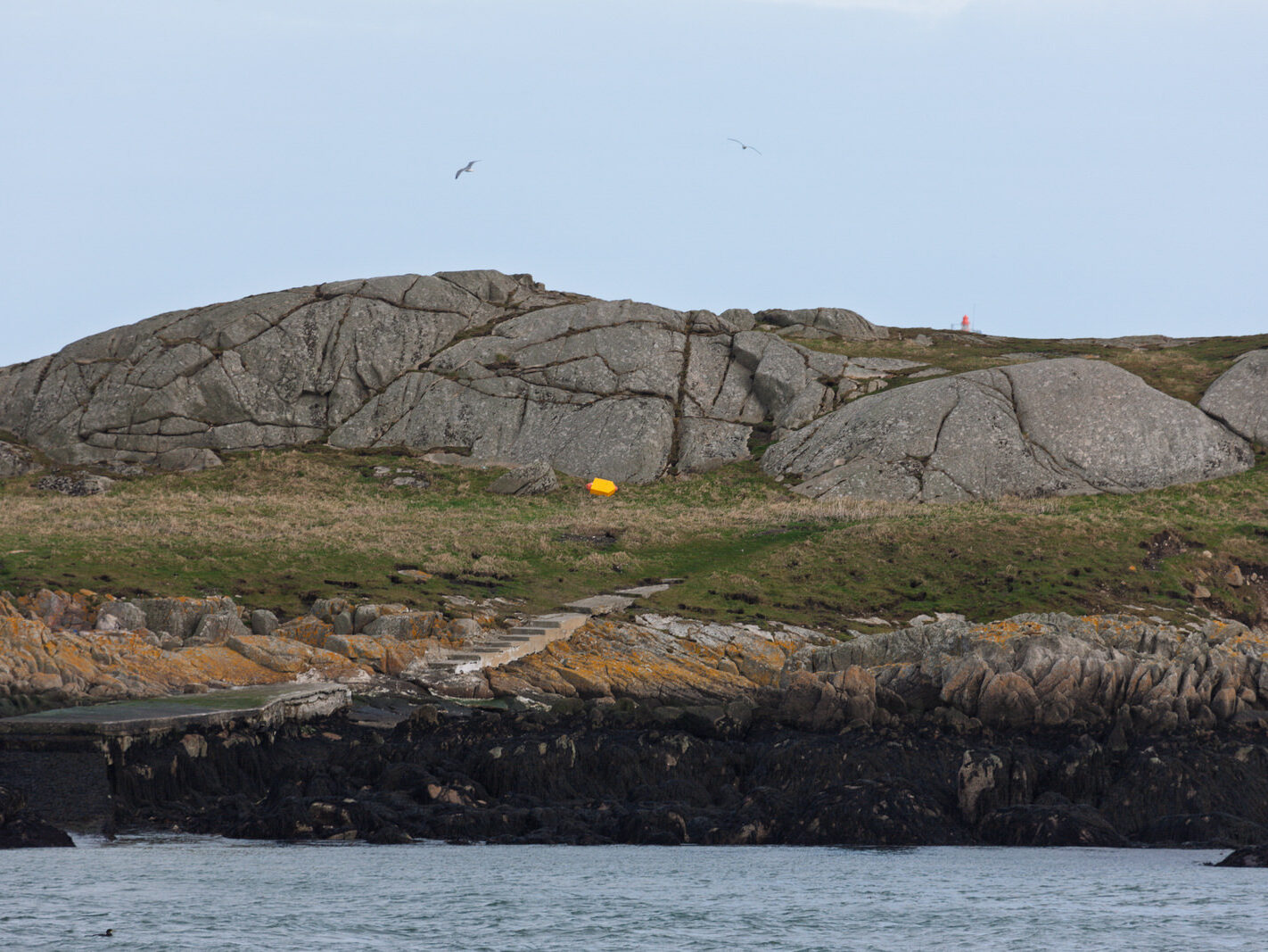
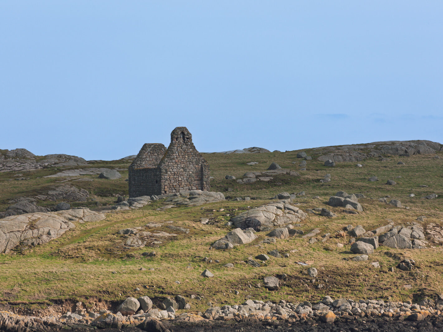
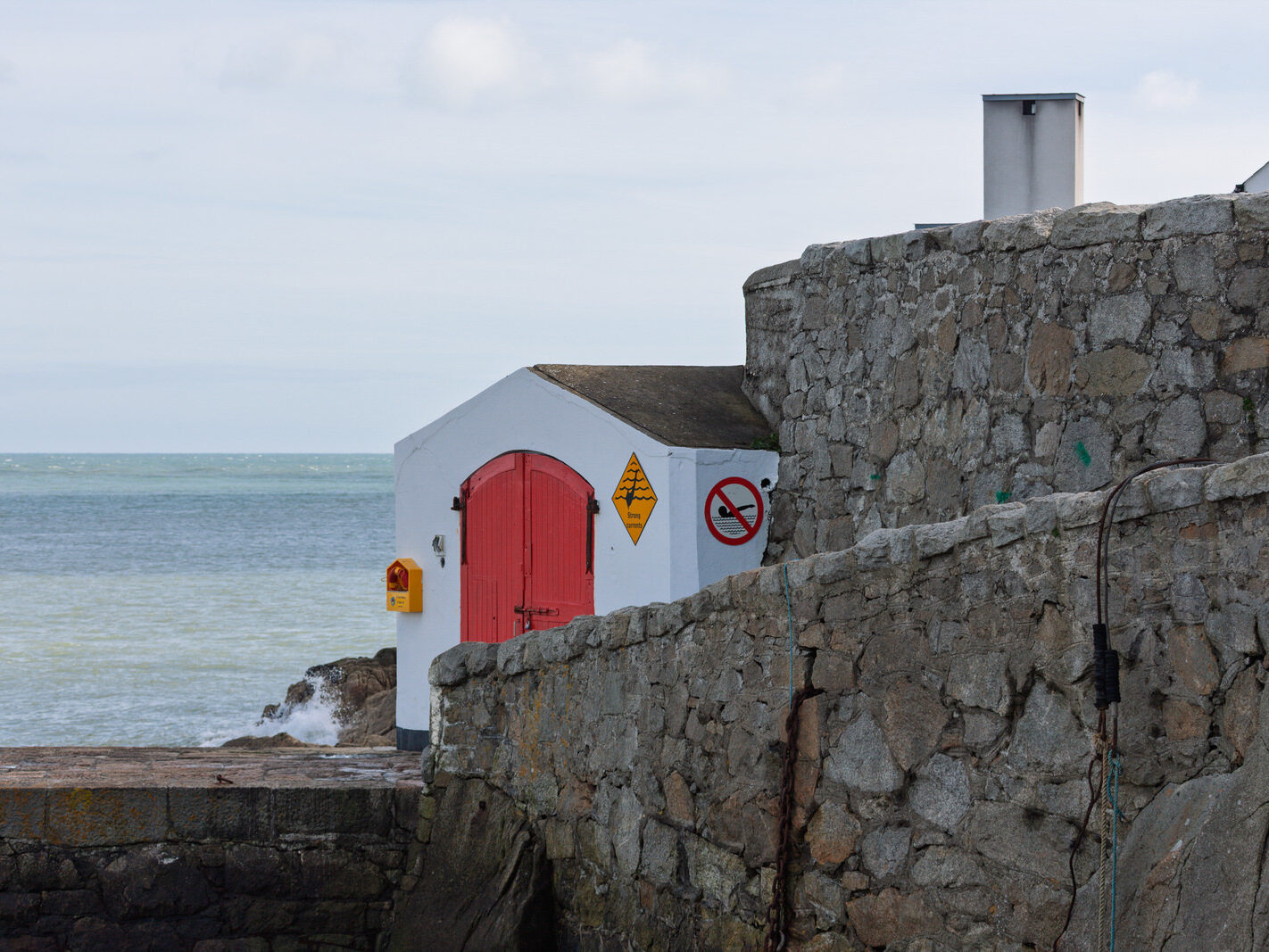
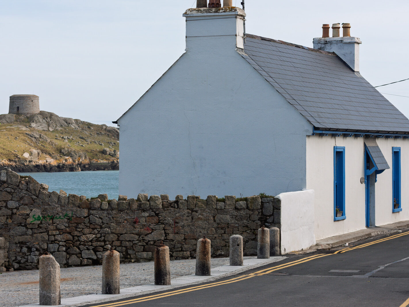
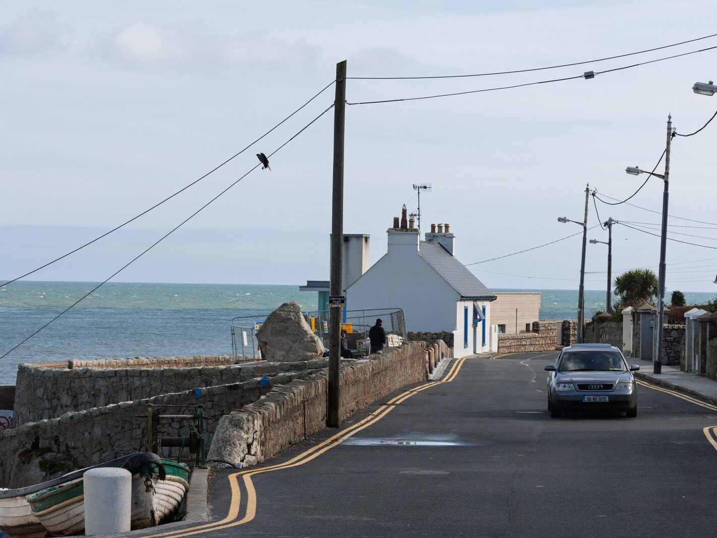
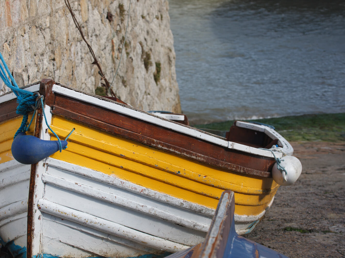
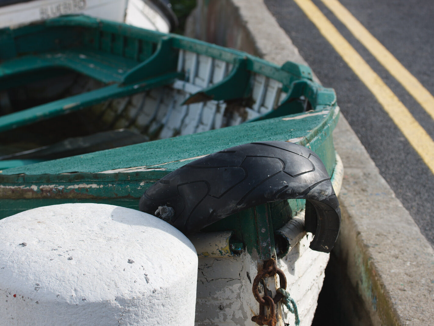
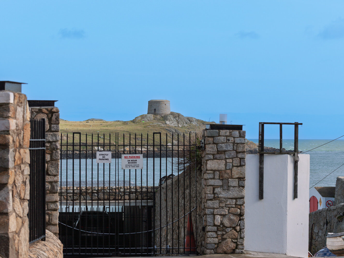
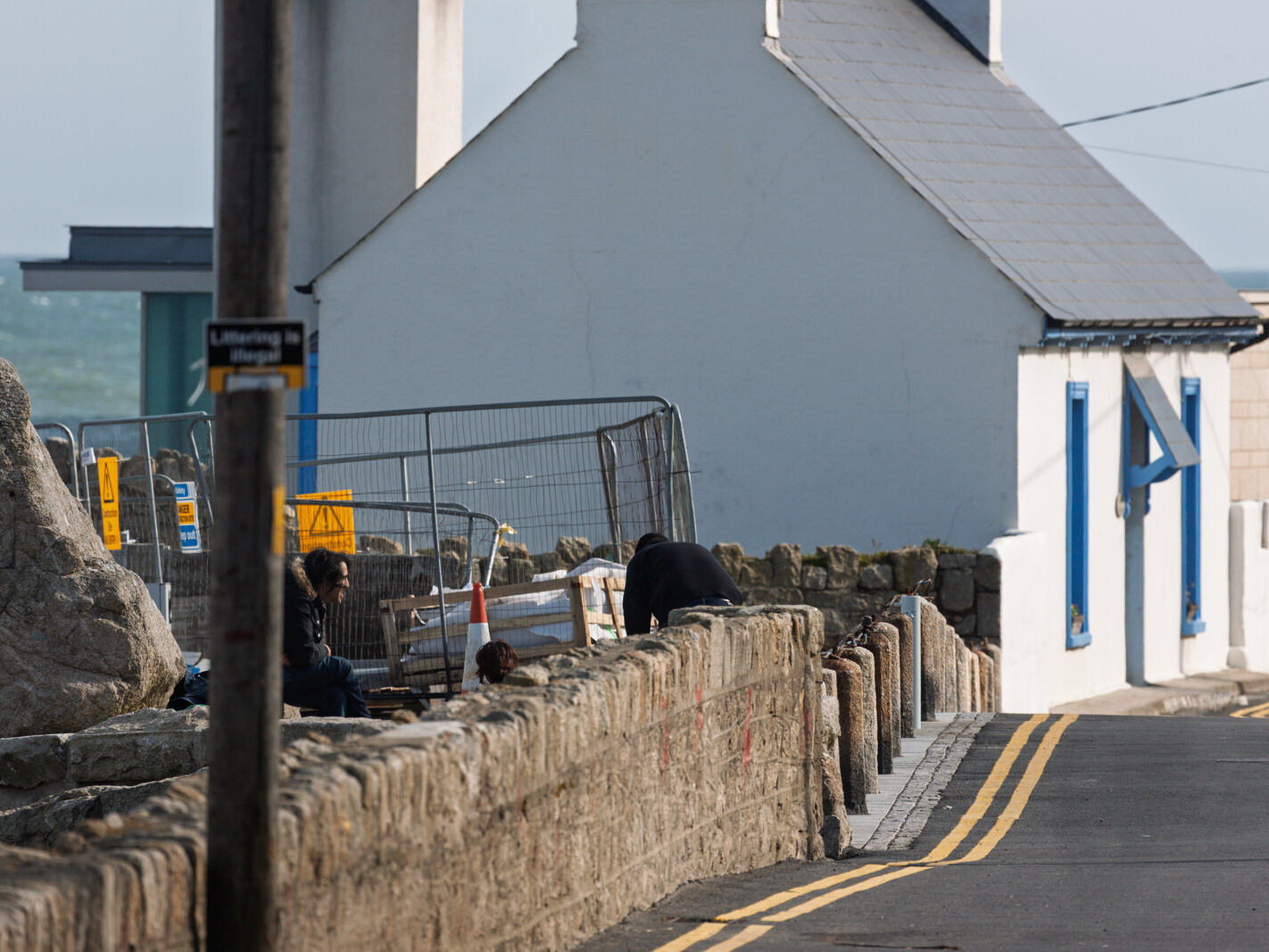
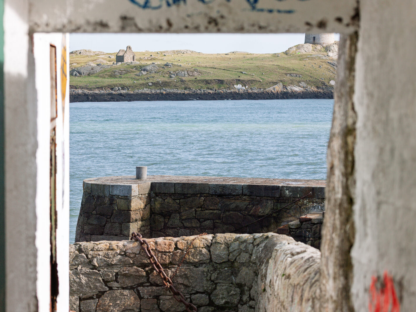
Returning to Coliemore Road in September 2026 offered a striking optical and architectural contrast to my initial walk here in March 2008. The visual disparity between the two visits owes much to focal length: in 2008, I carried a 100–400mm telephoto to compress distance across the Sound towards Dalkey Island, the Muglins, and the slipway at Coliemore Harbour. By contrast, my September 2026 walk called for a 16–35mm wide angle, an optic originally mounted for church interiors that ultimately framed the broad sweep of the coastline and the built streetscape.

Coliemore Road in 2008: The Edge of the Crash

In the spring of 2008, Coliemore Road felt suspended between high-end ambition and economic pause. Often dubbed one of Ireland’s most exclusive coastal stretches, it was caught in the final tremors of the Celtic Tiger era. Several ambitious residential redevelopments—aiming to replace historic villas or exploit sheer cliffside plots—had ground to a standstill. The stall was twofold: bitter planning objections surrounding the preservation of Victorian and Edwardian architectural character, followed immediately by the severe liquidity freeze of 2008 that paralysed developer credit overnight.

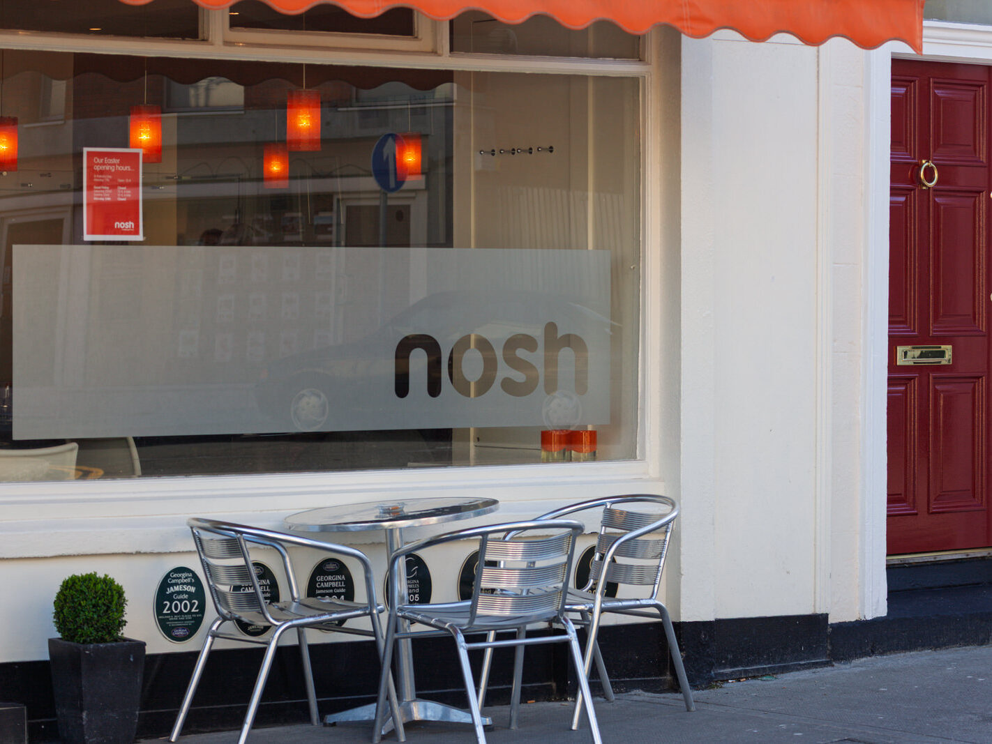
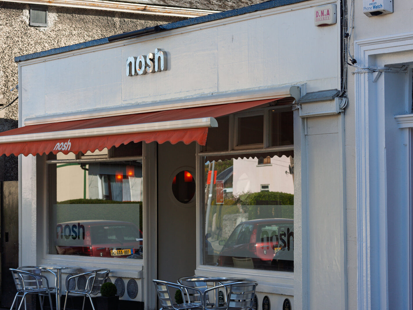
Near the village end of the road, Nosh was then in its heyday:

“Samantha and Sacha Farrell’s bright, contemporary restaurant is next to the famous Club Bar and, with its clean lines and lightwood furniture, no-nonsense menus and quality ingredients, its place in the Dalkey dining scene seems assured. Head chef Julie Sheils’ contemporary seasonal menus have a slight bias towards fish and vegetarian food.”

Despite its acclaim, Nosh ceased trading around 2012, marking the turnover of local village institutions that followed that economic downturn.

The Lost Goats of Dillon’s Park

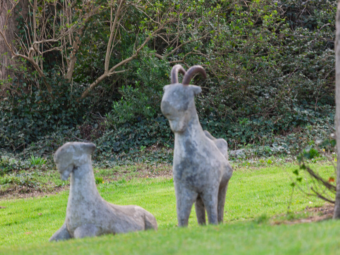
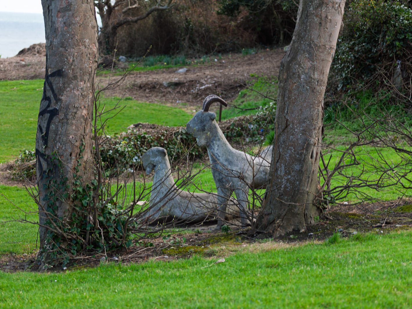
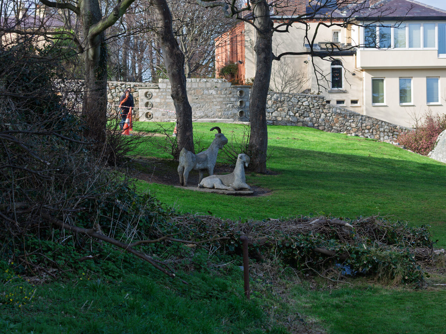
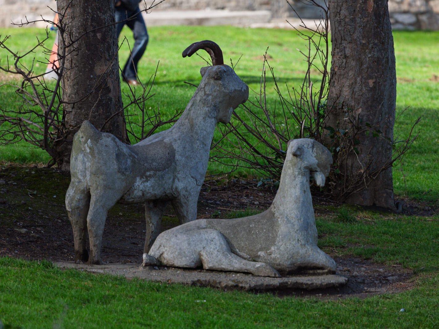
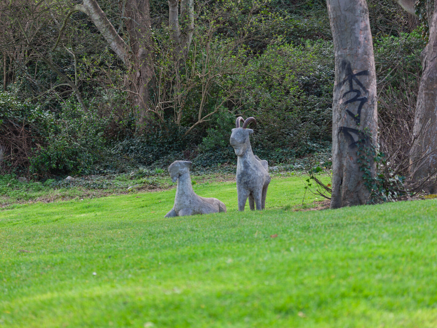
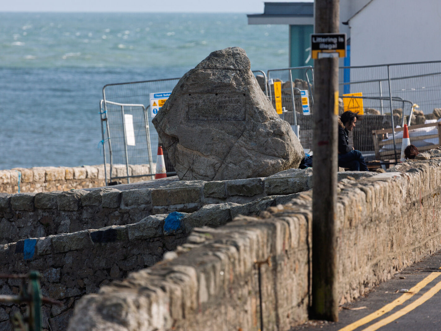
During that 2008 walk, I documented an intriguing piece of public art overlooking the sea in Dillon’s Park. At the time, the images went uncatalogued; the park’s name was elusive, and the artist was uncredited on site. Only years later did council records shed light on their identity and subsequent disappearance:

Meeting of Dún Laoghaire Area Committee — 22 November 2010

Fixing of Goat Sculptures in Dillon’s Park, Dalkey

Question (Councillor S. Fitzpatrick): “To ask the Manager to fix the damage to the goat sculptures in Dillon’s Park, Coliemore Road, Dalkey, and to ask the Manager to explore the feasibility of installing a more robust goat sculpture in replace of the concrete sculpture?”

Reply: “In 2007, dlr Arts Office engaged Jason Ellis, a sculpture conservator, to undertake a condition audit of the public sculptures in the County. It was noted that Katy Goodhue’s Goats, sited in Dillon’s Park, ‘would be hard to restore/conserve’.

In 2008, the Public Art Steering Group developed internal guidelines around the decommissioning of artworks sited in public places in the County… Certain conditions have to apply before an artwork would be considered for deaccession, for example, if the work has significantly deteriorated or if it requires a level of maintenance and/or conservation which constitutes an unsustainable expenditure level.

This sculpture is on the list of public artworks to be actioned over the course of the next arts strategy. Due to the poor condition of the sculpture, the Arts Office will be recommending that the work be decommissioned. At present, due to financial constraints, the commissioning and installation of a new sculpture at that location will not be feasible.”

— Kenneth Redmond, Arts Officer

By my September visit, the goats had long been removed, leaving the park’s coastal terrace without a replacement installation.

The Evolving Built Environment

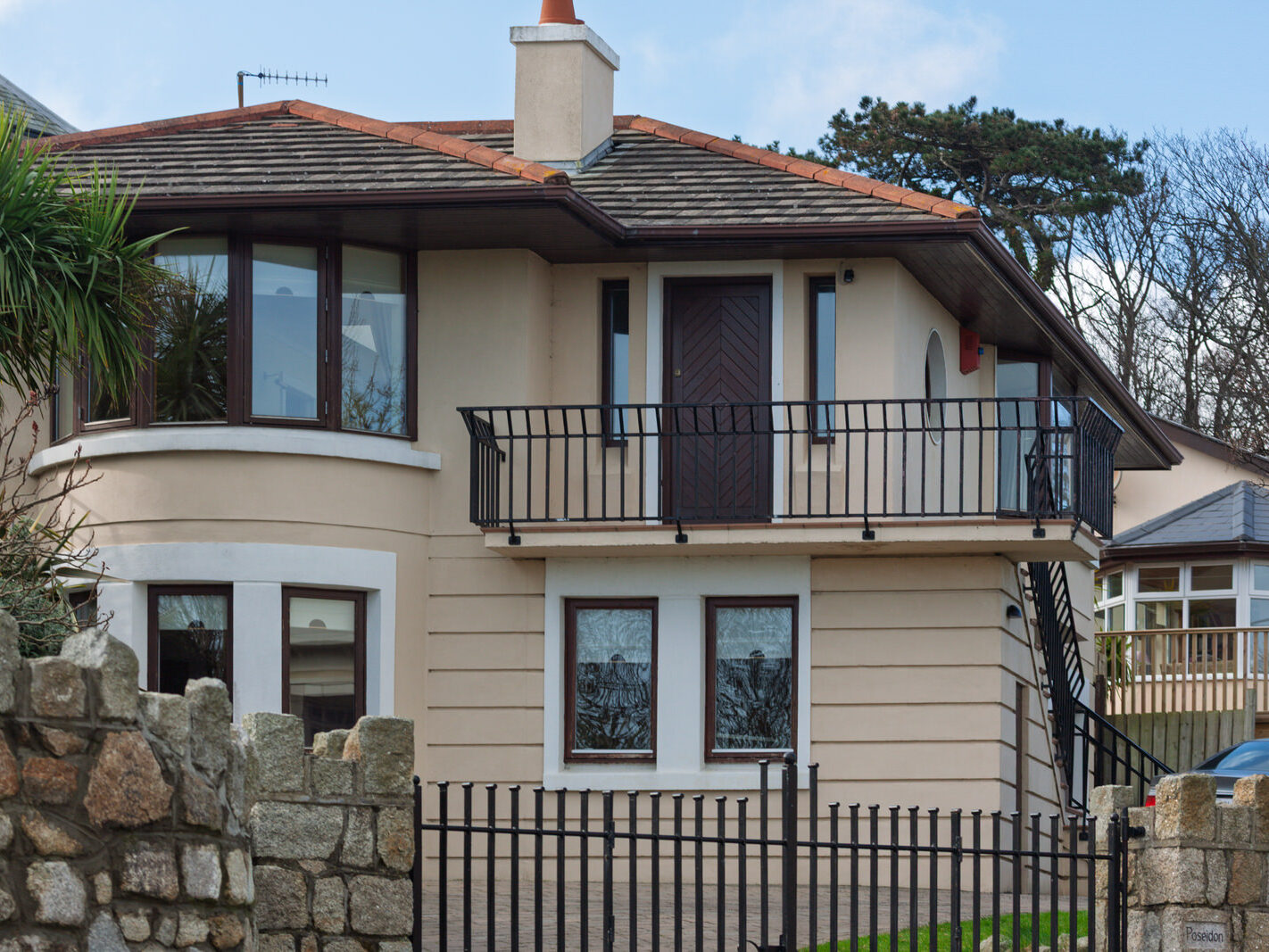
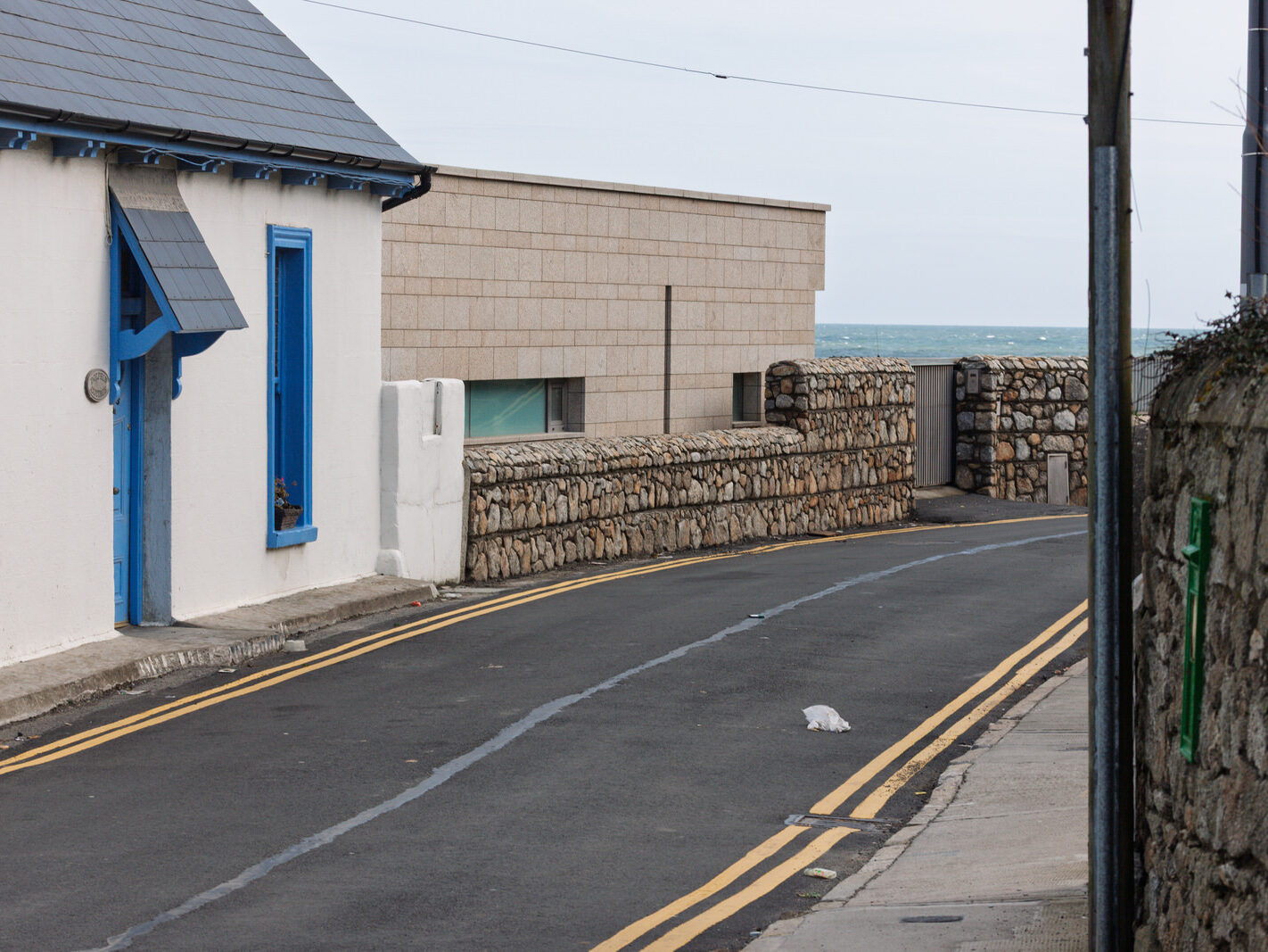
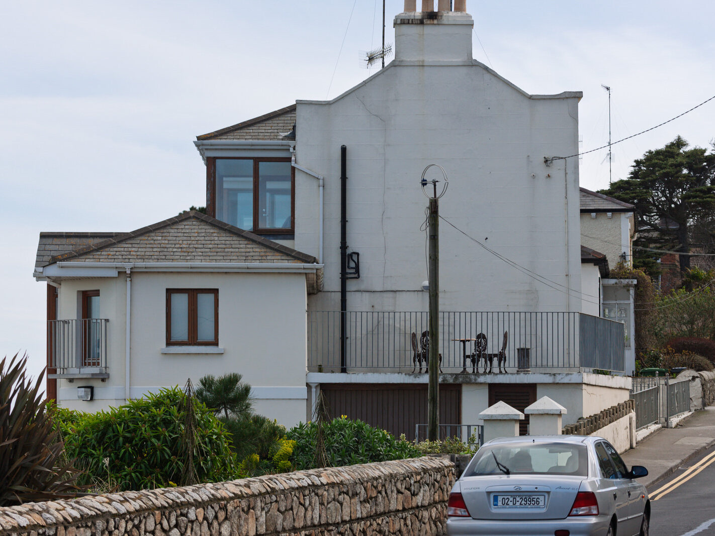
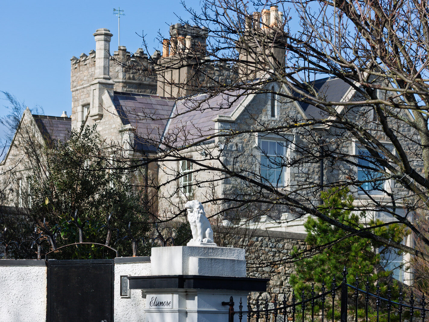
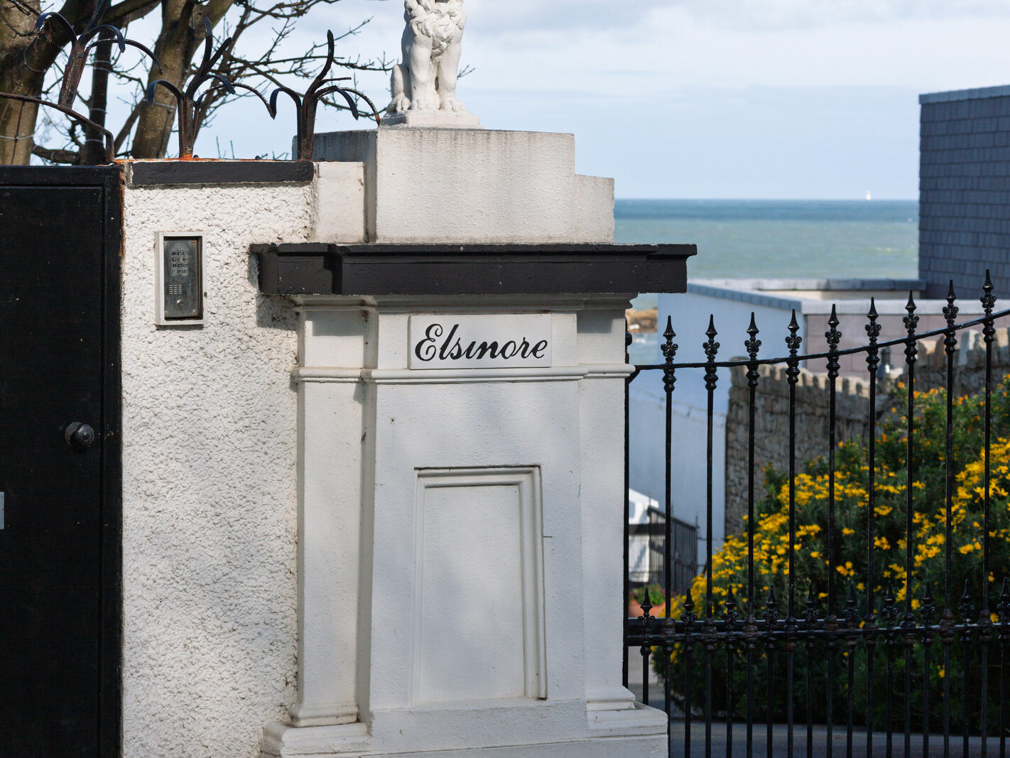
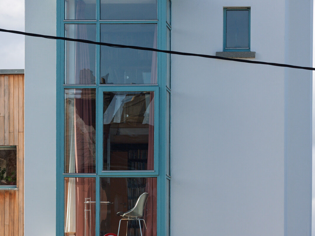
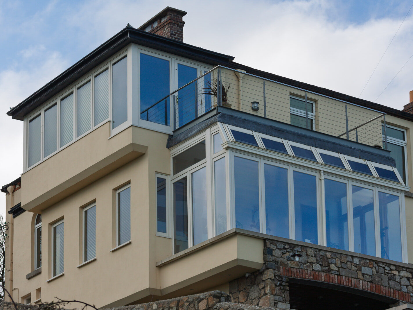
Between 2008 and 2026, the stalled ribbon of Coliemore Road quietly underwent an architectural renaissance. Once capital markets recovered, the paused sites and tired mid-century properties gave way to bespoke, contemporary coastal homes. Granite-clad boundary walls now conceal discreet structural feats: cantilevered terraces, extensive floor-to-ceiling marine-grade glazing, and green-roofed dwellings stepped down the granite topography to capture Dublin Bay. Where 2008 captured weathered concrete public art and halted work, 2026 reveals a polished, highly fortified coastal landscape where private architectural commissions flourish even as civic public art remains unreplaced.

Filed Under: Dalkey, Infomatique, The Urban Cartographer, William Murphy Tagged With: architectural change, Canon 100-400mm Lens, Canon 1DsIII, Coliemore Harbour, Coliemore Road, Dalkey, Dalkey Island, Dillon's Park, Dublin Bay, Dún Laoghaire-Rathdown, Goat sculptures, Infomatique, Katy Goodhue, Nosh restaurant, Photonique, public art deaccession, Street Photography, William Murphy

SCOIL TREASA NAOFA O’DONOVAN ROAD – PETRIE ROAD DUBLIN 8

April 18, 2025 by infomatique

PHOTOGRAPHED BY INFOMATIQUE APRIL 2025


  • SCOIL TREASA NAOFA [O'DONOVAN ROAD - PETRIE ROAD DUBLIN 8]-249658-1
  • SCOIL TREASA NAOFA [O'DONOVAN ROAD - PETRIE ROAD DUBLIN 8]-249663-1
  • SCOIL TREASA NAOFA [O'DONOVAN ROAD - PETRIE ROAD DUBLIN 8]-249662-1
  • SCOIL TREASA NAOFA [O'DONOVAN ROAD - PETRIE ROAD DUBLIN 8]-249661-1
  • SCOIL TREASA NAOFA [O'DONOVAN ROAD - PETRIE ROAD DUBLIN 8]-249660-1
  • SCOIL TREASA NAOFA [O'DONOVAN ROAD - PETRIE ROAD DUBLIN 8]-249659-1

SCOIL TREASA NAOFA, located at the intersection of O’Donovan Road and Petrie Road in Dublin 8, stands as a testament to the educational development of the early 20th century in the Fairbrothers Fields area. Despite subsequent expansions to accommodate the growing community, the school has remarkably preserved much of its original architectural charm.

The facade, while predominantly simple in its design, is significantly enhanced by a well-defined entrance bay and intricate decorative plasterwork, adding a touch of visual interest and character. This thoughtful detailing speaks to the architectural sensibilities of the period.

Like numerous primary schools established in the early decades of the twentieth century across Ireland, Scoil Treasa Naofa had its origins as a boys’ school under the stewardship of the esteemed Christian Brothers. Their dedication to education played a crucial role in shaping the lives of countless young boys in the locality.

The establishment of the school was intrinsically linked to the substantial residential development that transformed Fairbrothers Fields in the 1920s. Recognising the burgeoning population, the Archdiocese of Dublin commissioned the construction of Scoil Treasa Naofa to serve the educational needs of the increasing number of families settling in the area.

The architectural vision for the school came from the Dublin-based architect John Joseph Robinson, a prominent figure in ecclesiastical design at the time. As the founder of Robinson & Keefe Architects, which later evolved into the well-regarded firm Robinson, Keefe & Devane, Robinson left an indelible mark on the cityscape through his numerous commissions for the Roman Catholic Church. His design for Scoil Treasa Naofa reflects the prevailing architectural trends of the era for educational institutions, emphasising functionality while incorporating elements of aesthetic appeal. The school stands as a tangible link to the past, illustrating the commitment to education and community development that characterised Dublin in the early 20th century.


Filed Under: 2025, Canon 5D MkIII, Education, Infomatique, O'Donovan Road, Petrie Road, Photonique, School, William, William Murphy Tagged With: April 2025, Canon 5DMkIII, Dublin 8, Education, Fairbrothers Fields, Infomatique, O'Donovan Road, Petrie Road, Photonique, Scoli Treasa Naofa, William Murphy

EXPLORING BROOKFIELD ROAD NOW DOMINATED BY THE NEW CHILDREN’S HOSPITAL

February 23, 2025 by infomatique

22 FEBRUARY 2025


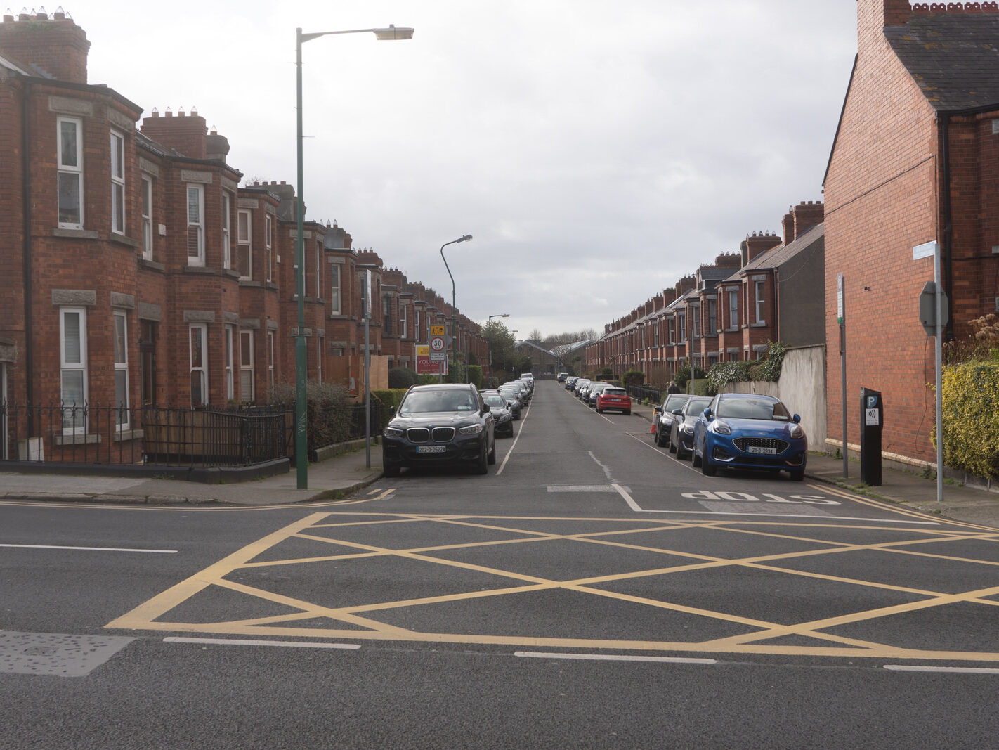
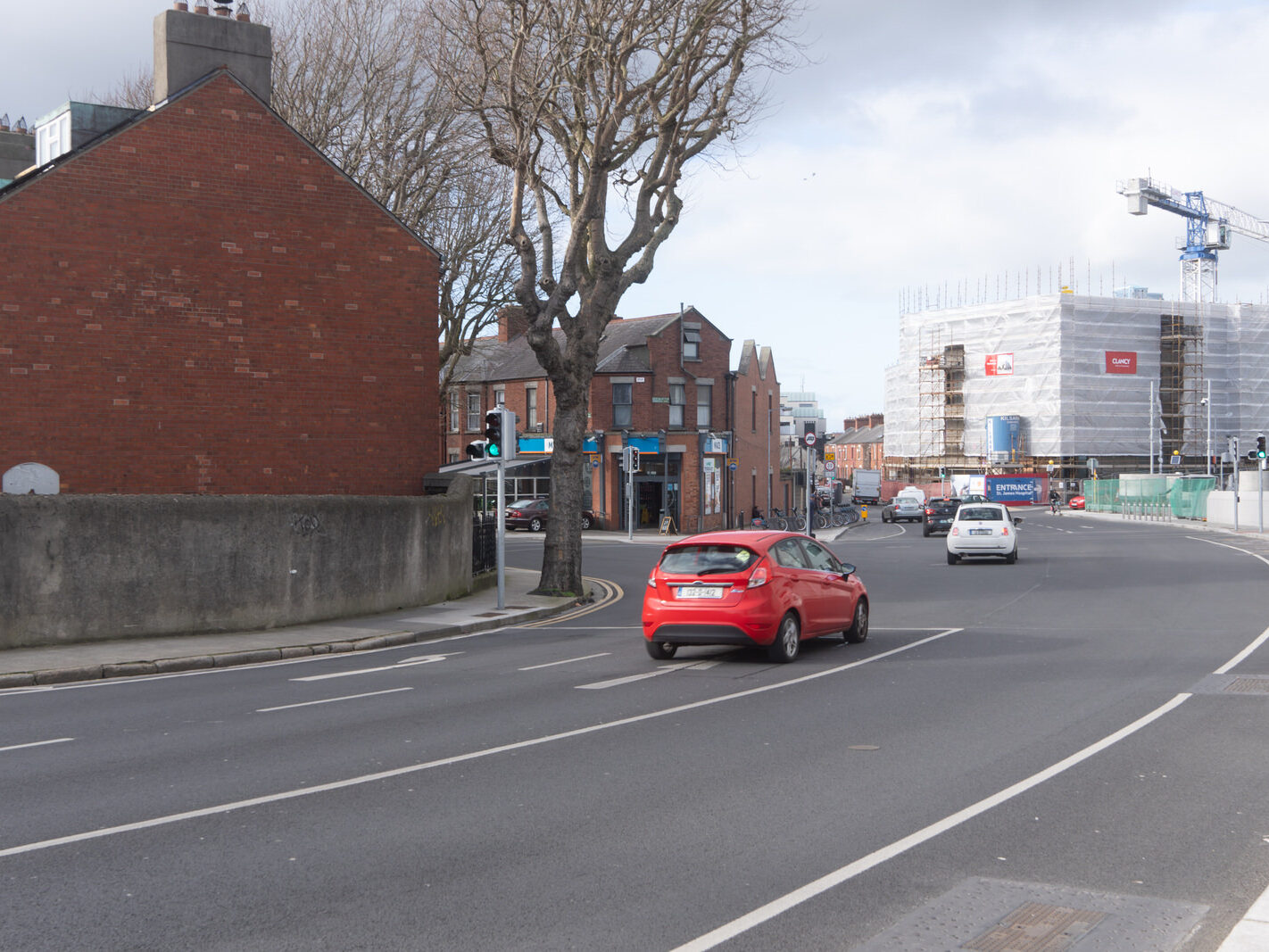
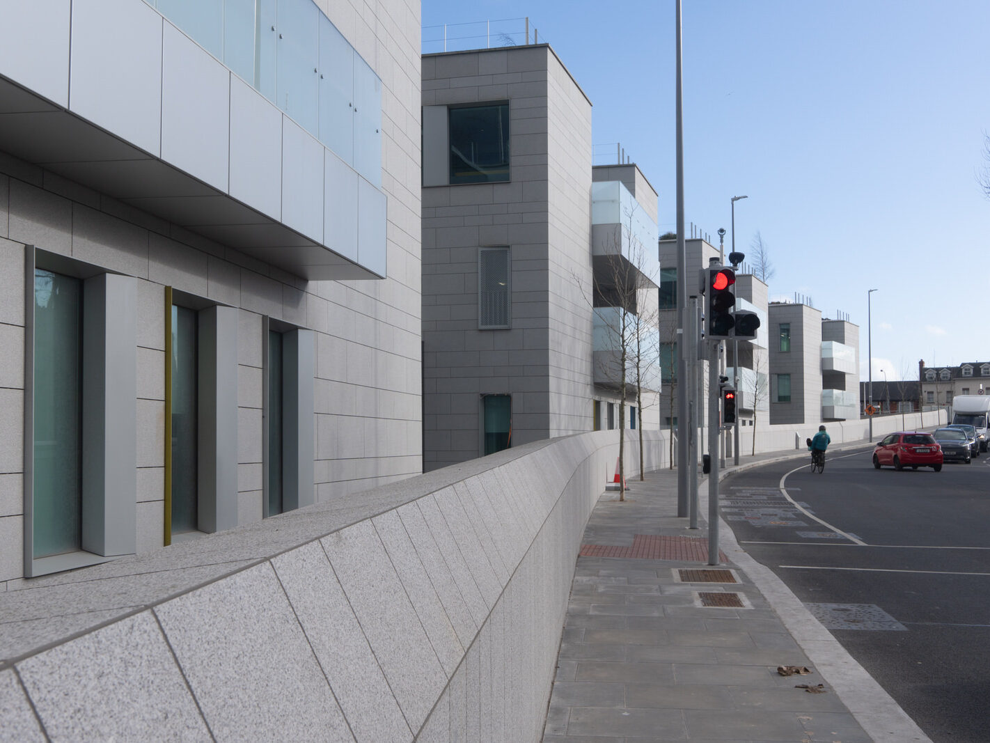
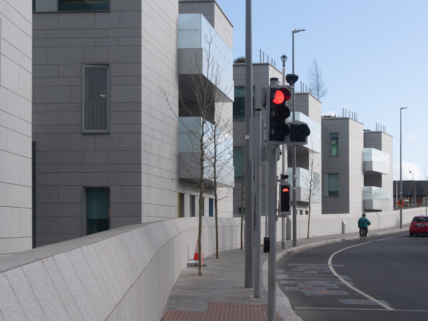
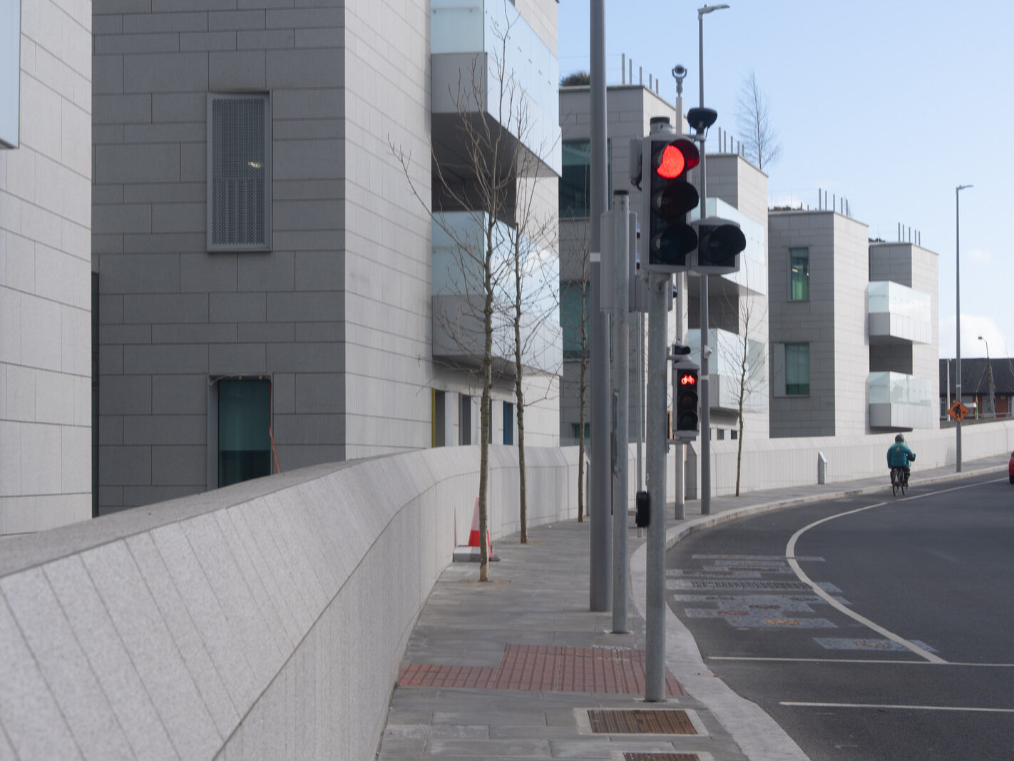
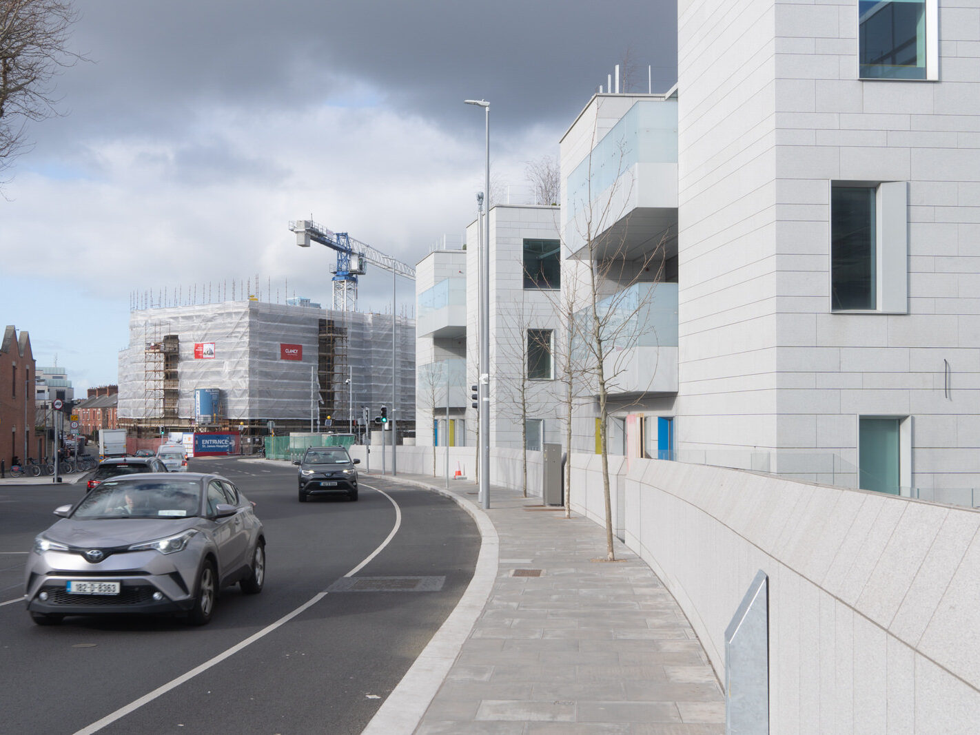
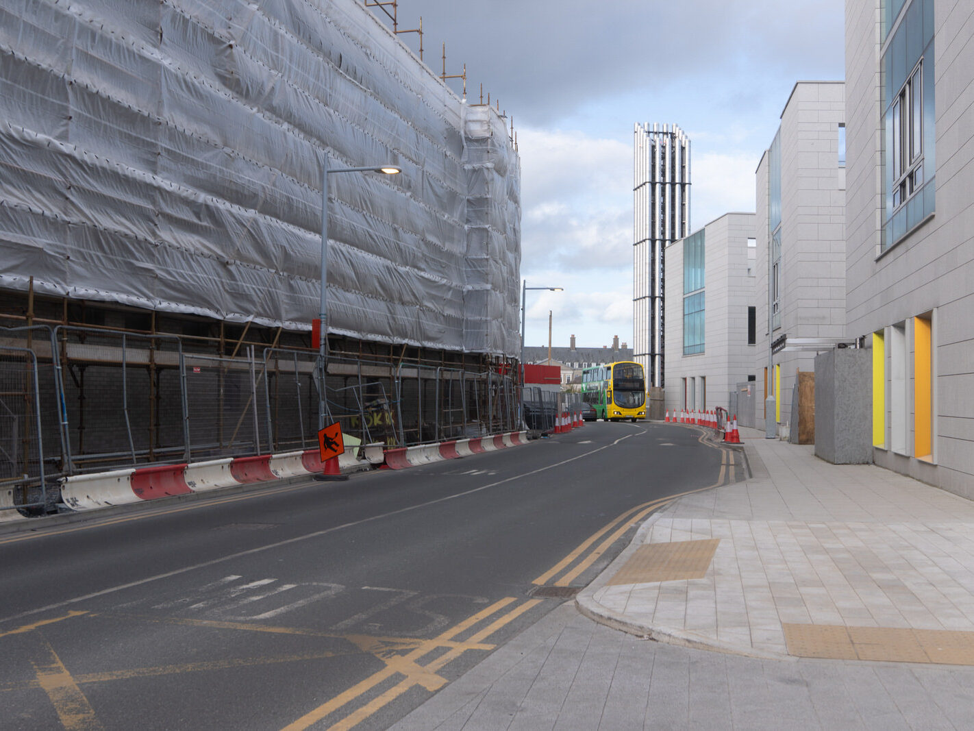
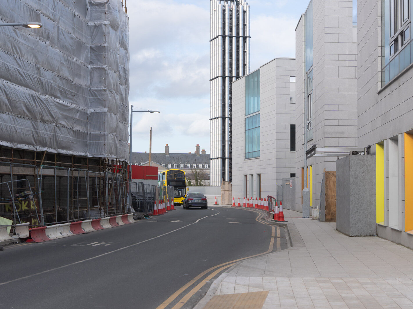
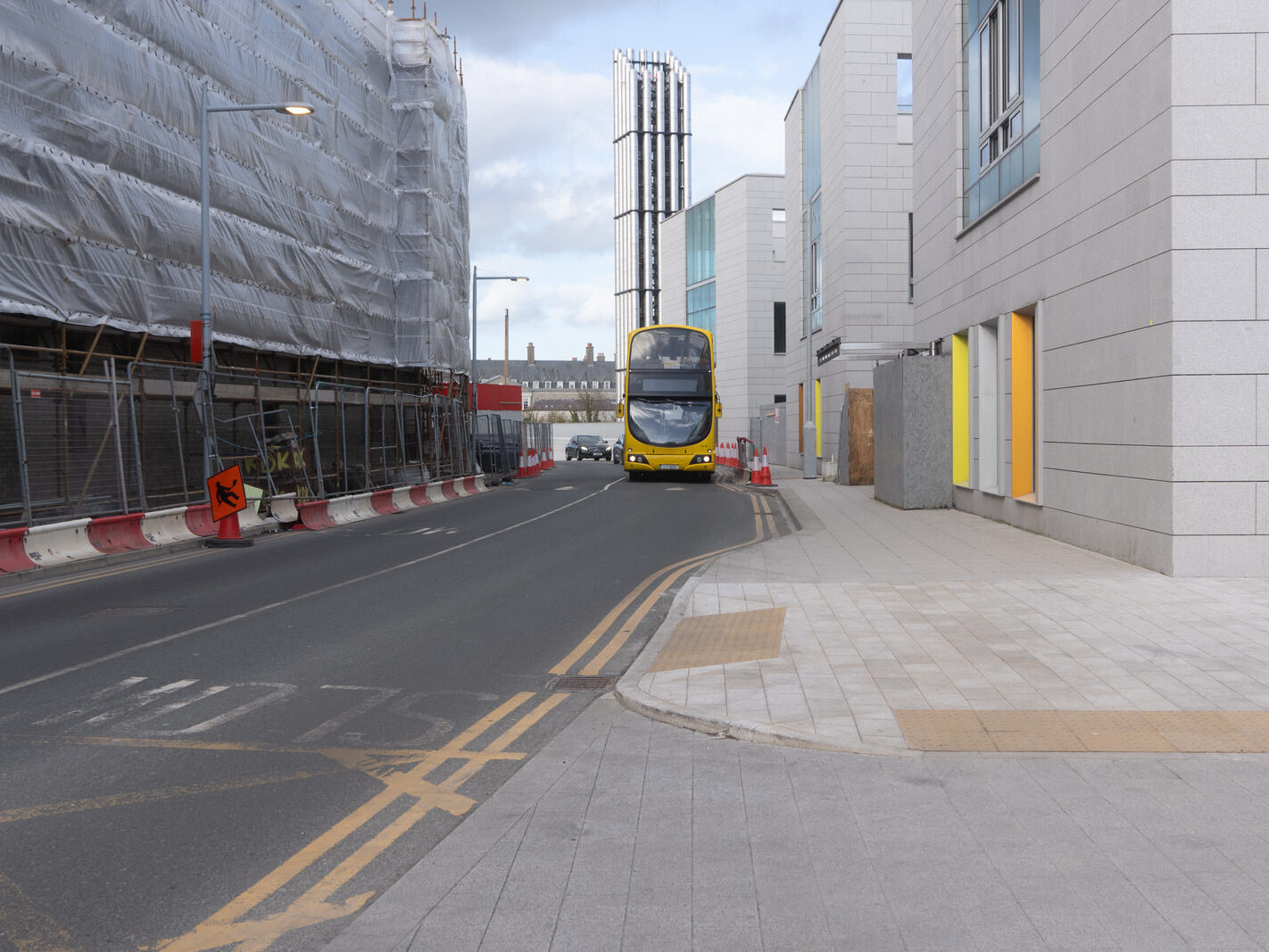
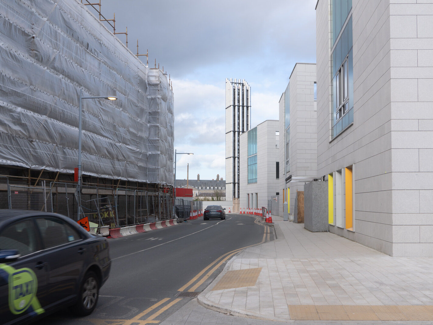
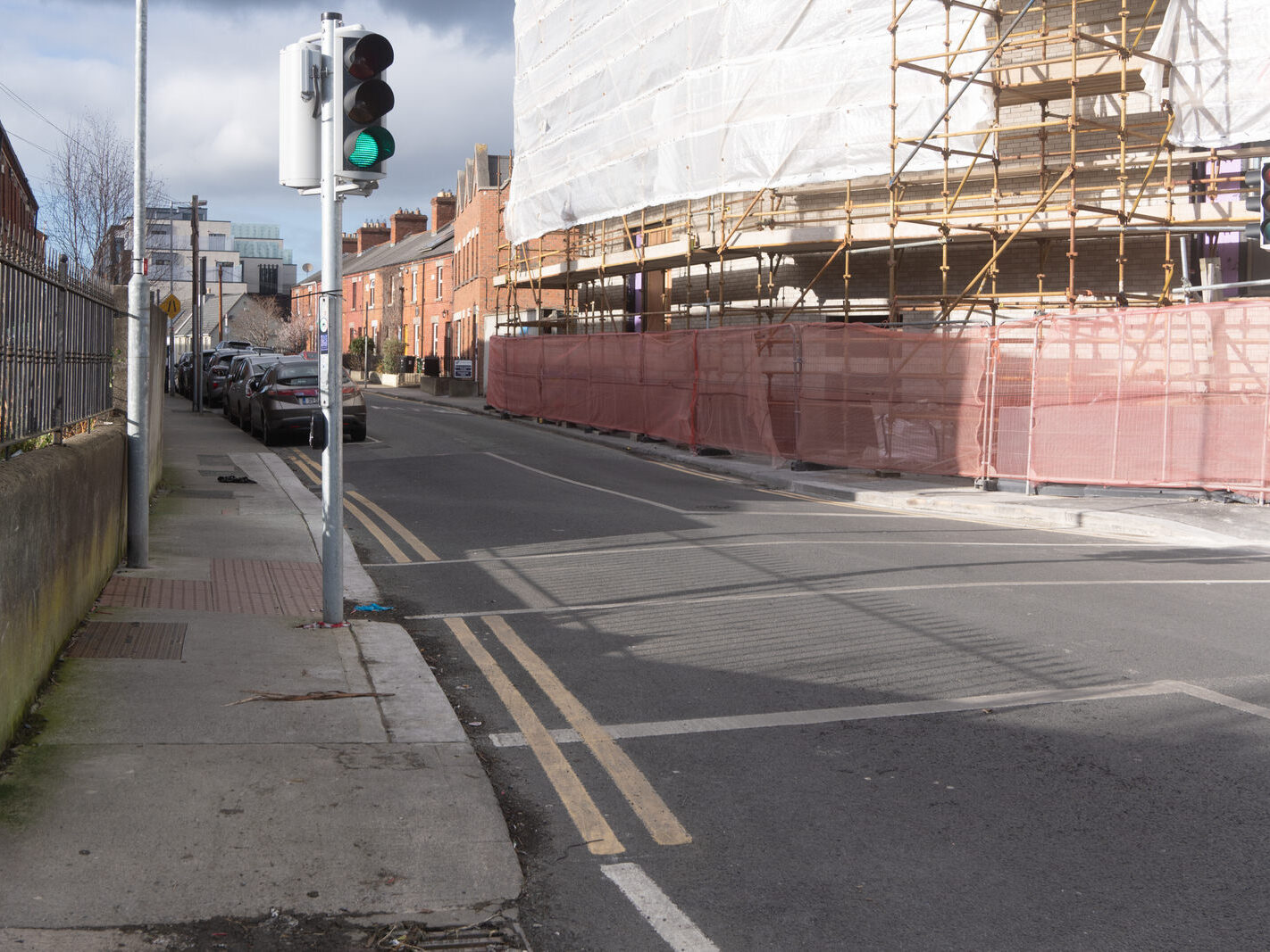
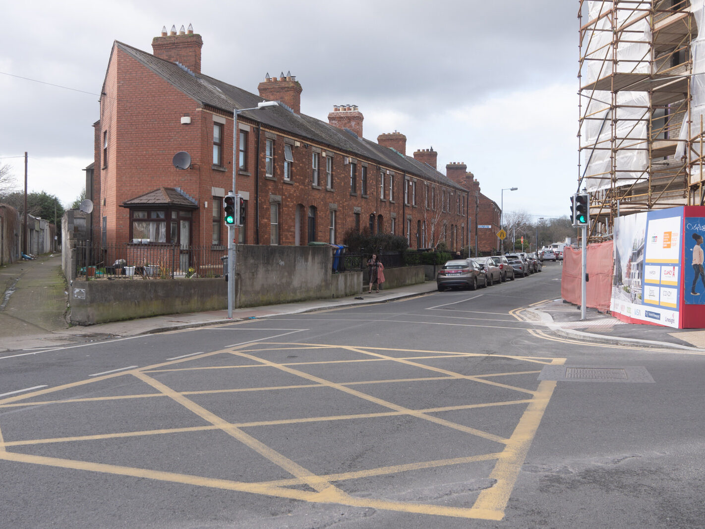
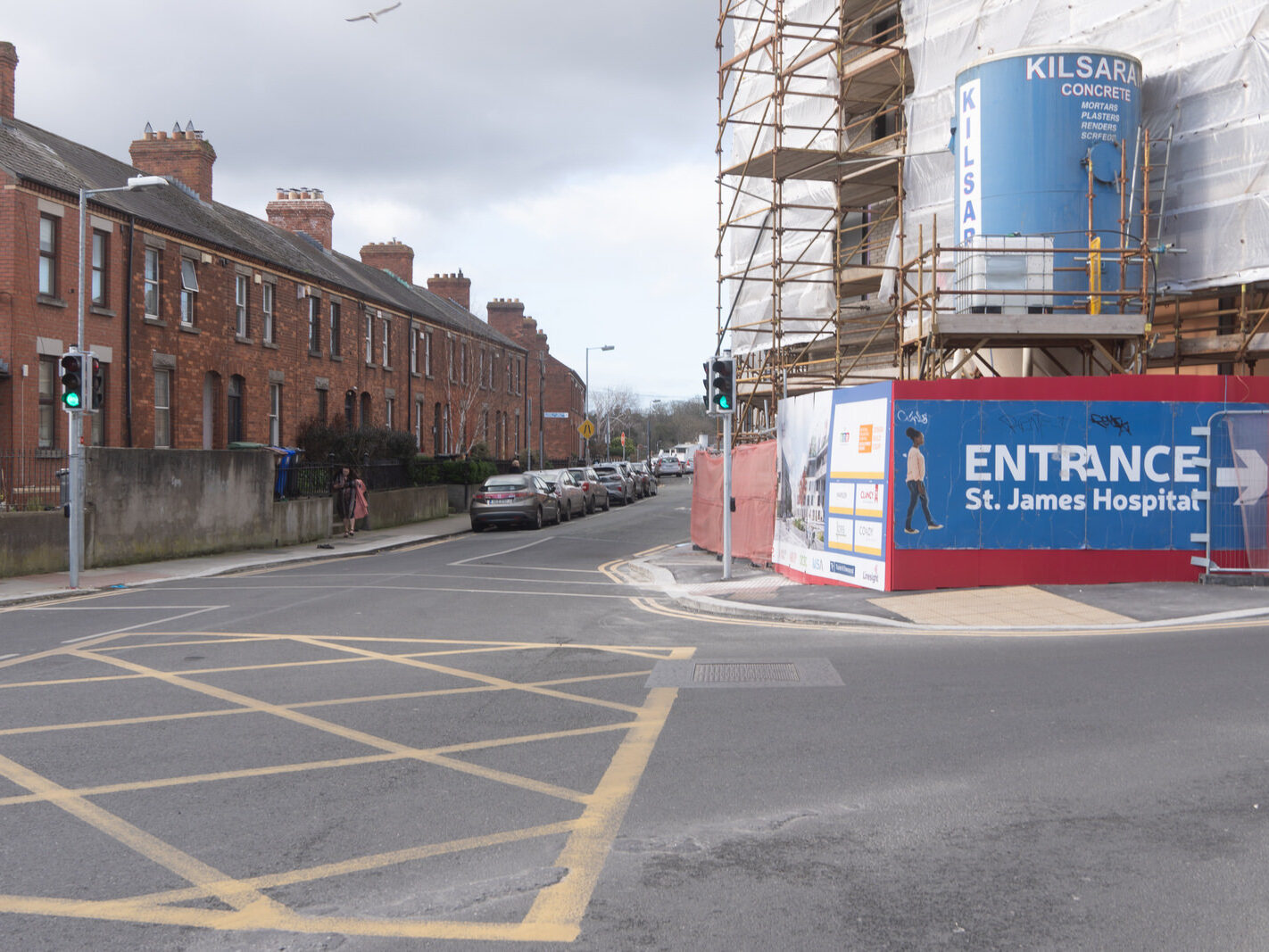
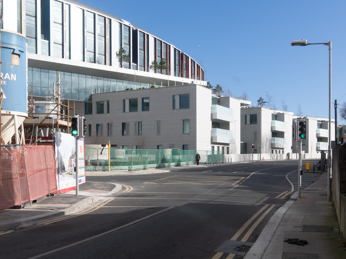
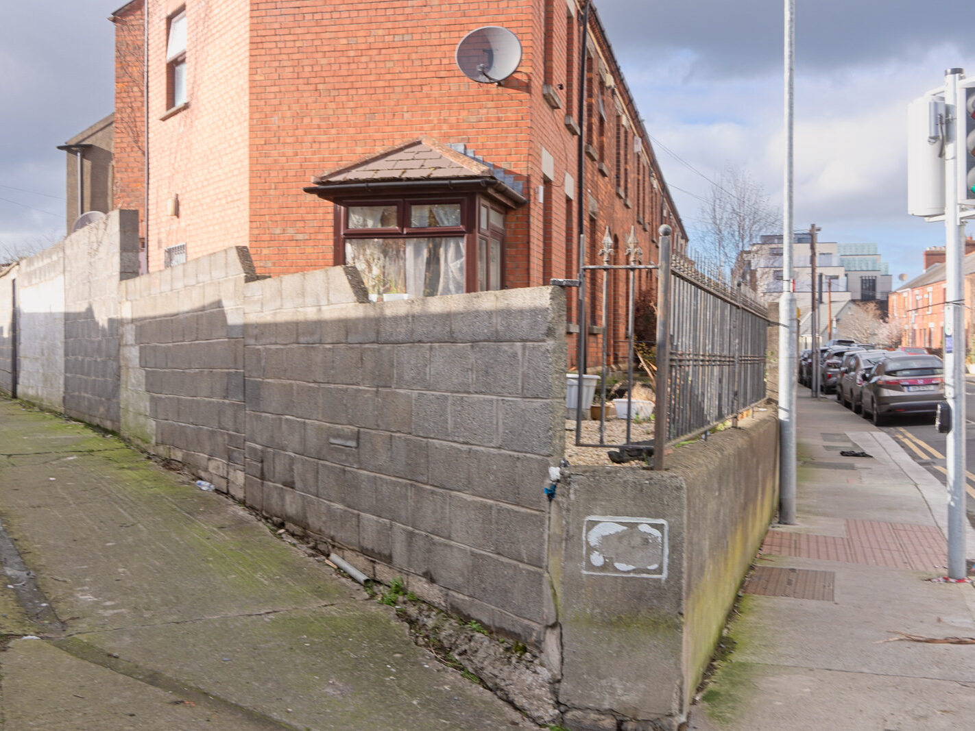
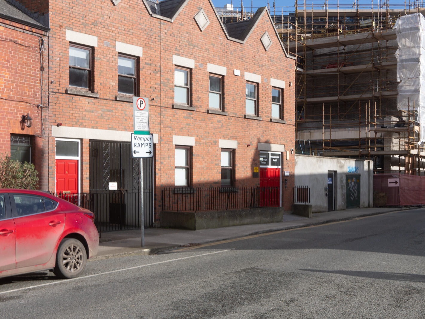
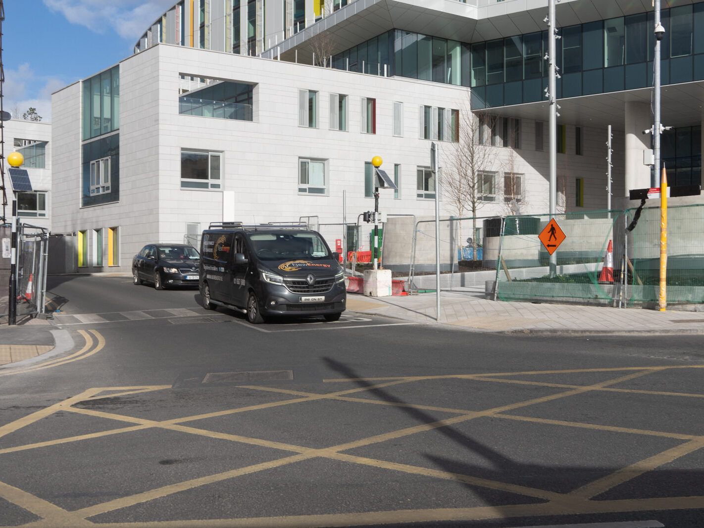
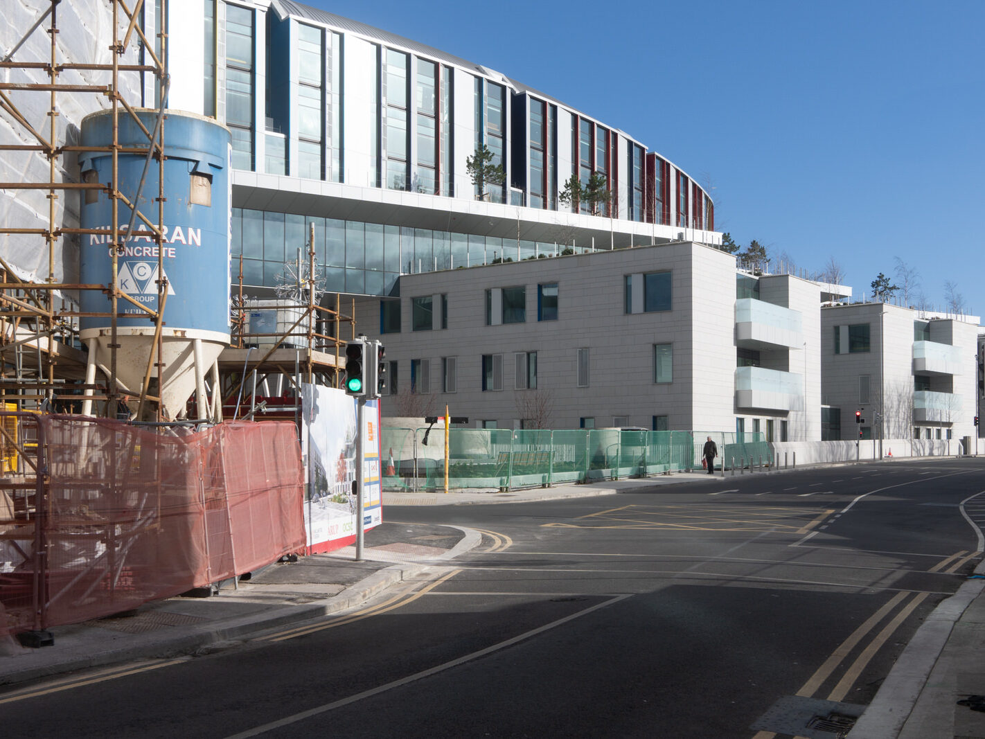
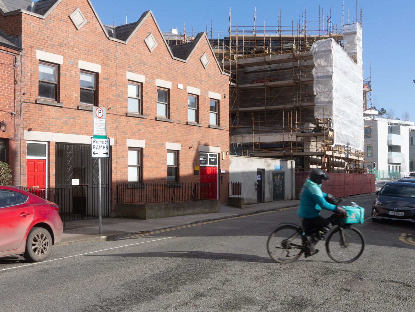
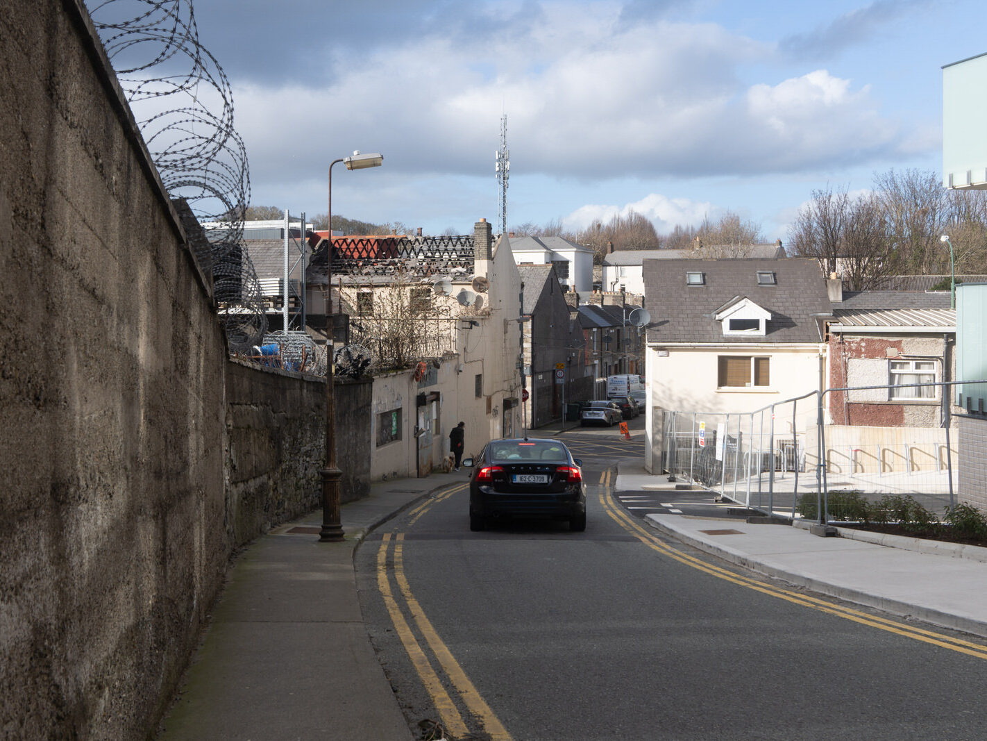
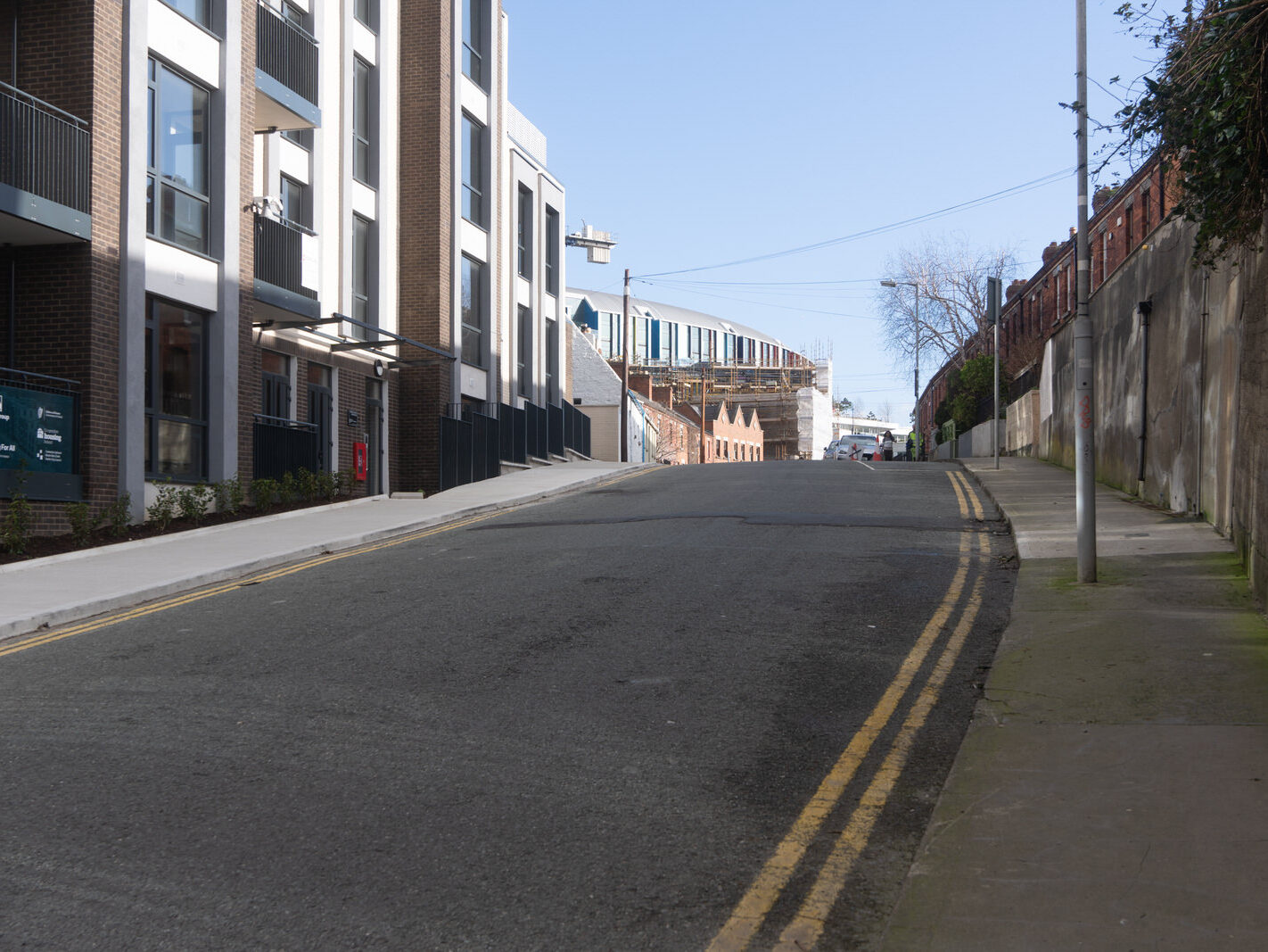
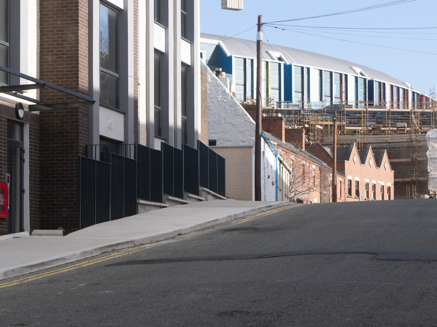
Brookfield Road, formerly known as Patriotic Terrace, holds a fascinating place in Dublin’s history, connecting the revolutionary past with the future of children’s healthcare. This connection is exemplified by the presence of the new Children’s Hospital and the historical significance of number 8 Brookfield Road, the former residence of William Patrick Partridge (1874-1917).

Partridge, a prominent trade unionist, revolutionary socialist, and member of James Connolly’s Irish Citizen Army, lived at number 3 Patriotic Terrace. Over time, the street was renumbered following the construction of an additional house at the beginning of the terrace. Consequently, Partridge’s former residence became number 8 Brookfield Road.

Partridge’s role in the 1916 Easter Rising cemented his place in Irish history. His involvement with the Irish Citizen Army and his later service as a Dublin City Councillor demonstrate his commitment to social justice and Irish independence.

The name change from Patriotic Terrace to Brookfield Road and the renumbering of the houses reflect the street’s evolution. While the precise dates of these changes require further research, they likely occurred during the 20th century as Dublin expanded.

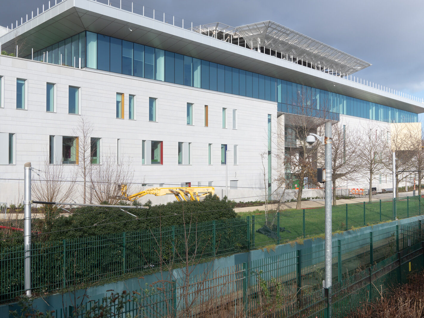
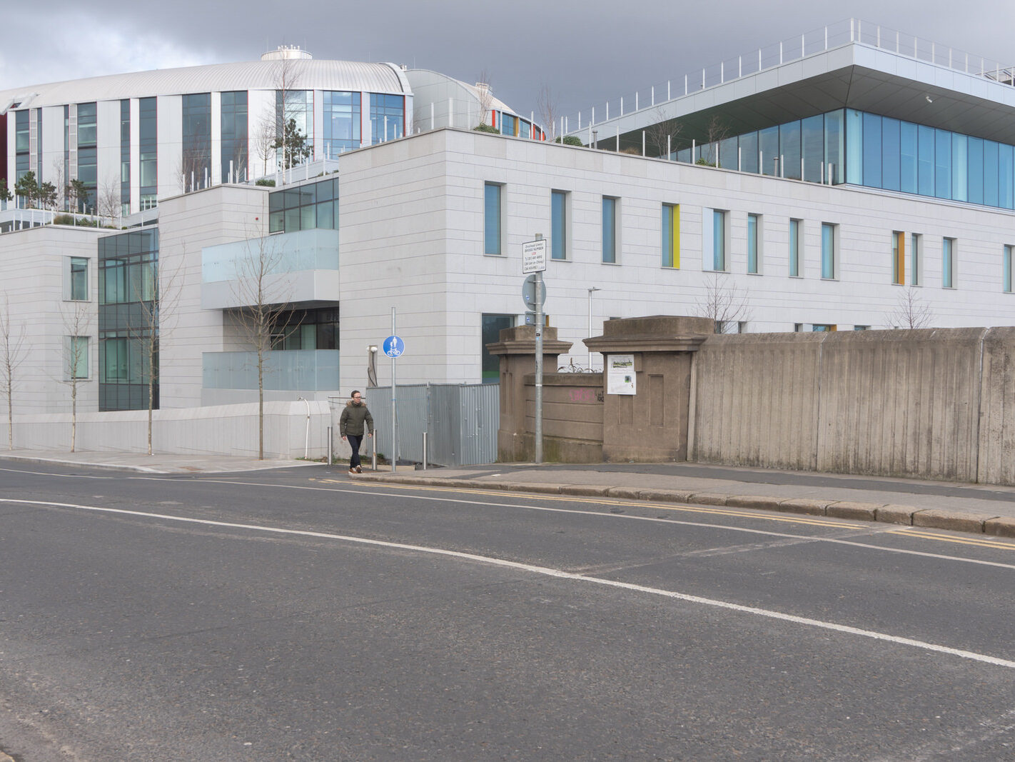
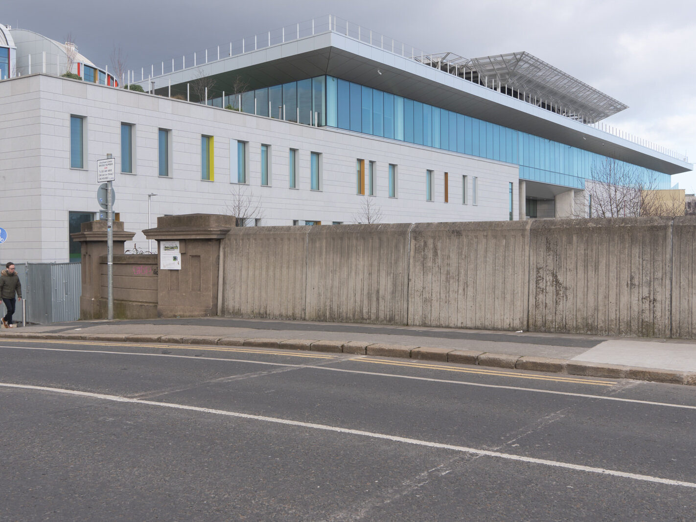
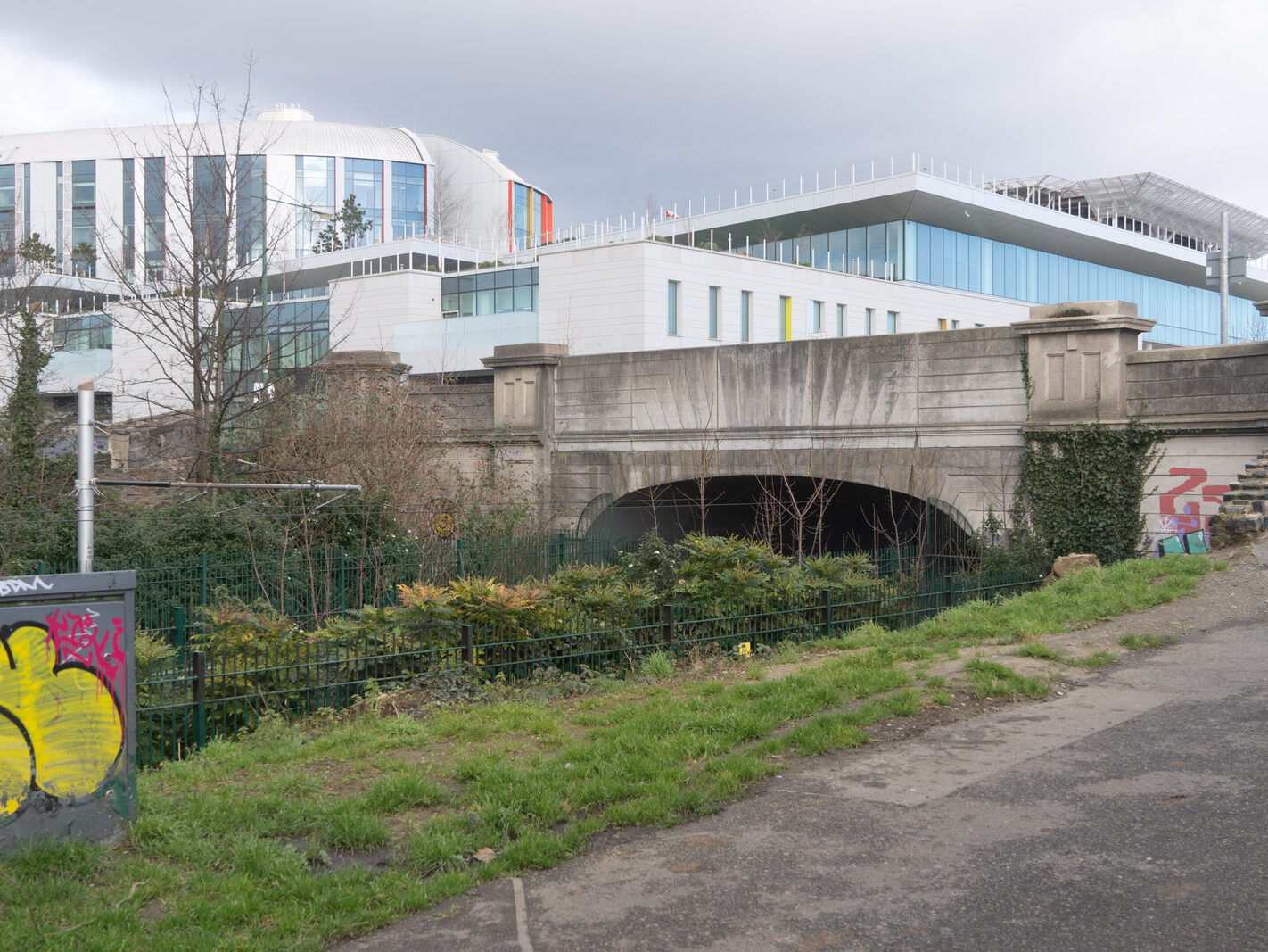
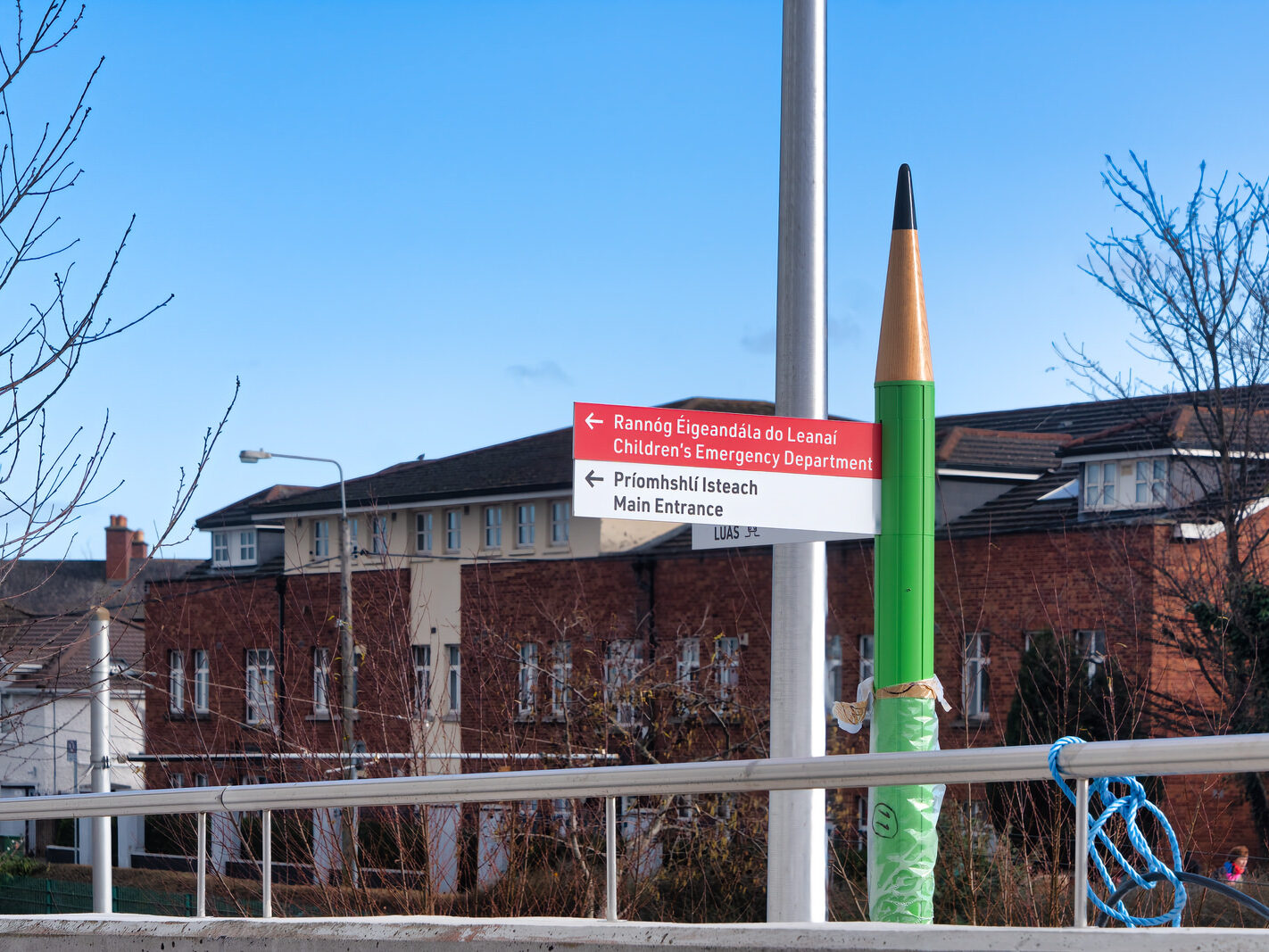
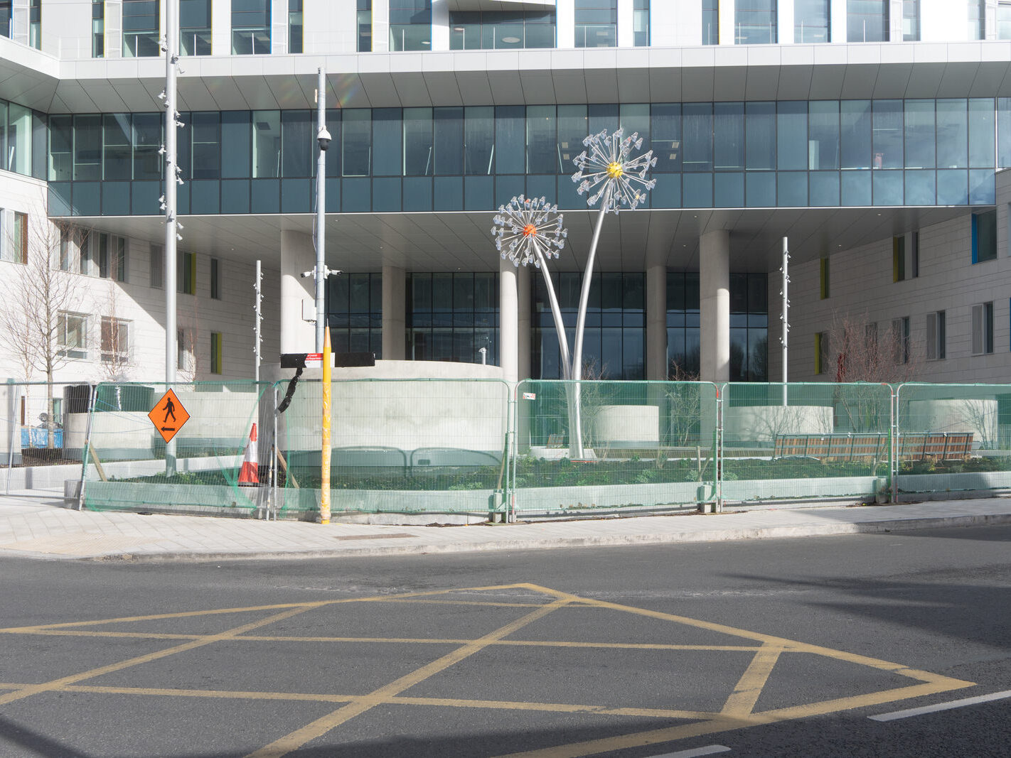
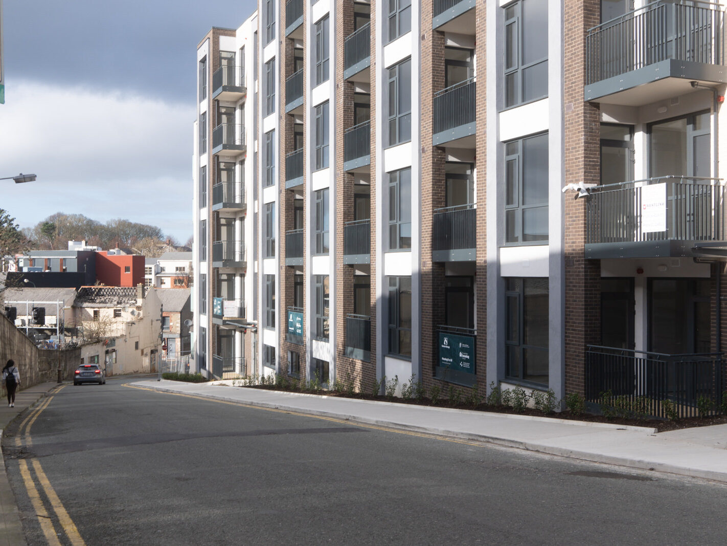
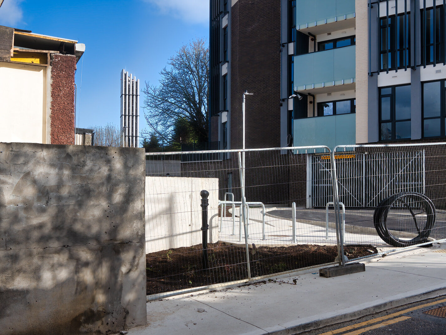
Today, Brookfield Road is dominated by the construction of the new Children’s Hospital. This ambitious project aims to consolidate services from Dublin’s three existing children’s hospitals – Children’s Health Ireland at Crumlin, Children’s Health Ireland at Temple Street, and the National Children’s Hospital – into a single, state-of-the-art facility. The consolidation aims to improve efficiency, streamline care, and provide a wider range of specialised services. The outdated facilities of the existing hospitals necessitated this new, purpose-built institution, deemed a national priority for children’s healthcare.

The hospital project, one of the largest healthcare projects in Irish history, has faced numerous challenges. Its scale and complexity, including the integration of specialised services and the need for cutting-edge technology, have contributed to cost overruns, largely due to unforeseen issues such as construction challenges, design changes, contractual disputes, and inflation. These factors have also caused significant delays.

The hospital is being built on land transferred from St. James’s Hospital, offering potential benefits through shared resources like infrastructure, support services, and occasionally, specialised equipment. Formal agreements will govern the extent of this resource sharing.

Children’s Health Ireland (CHI) is responsible for the hospital’s clinical and operational aspects, while the National Paediatric Hospital Development Board (NPHDB) oversees the design, construction, and equipping. A community benefit programme aims to ensure the local community benefits from the hospital’s presence.
Despite the challenges, the new Children’s Hospital remains a crucial investment in the future of Irish children’s health. The consolidation of services, modern facilities, and potential collaboration with St. James’s Hospital promise to improve care for children and families nationwide.


Filed Under: 2025, Brookfield Road, Children's Hospital, Kilmainham, Sony FX30, William Murphy Tagged With: Brookfield Road, Children's Health Ireland, cost overruns, delays, Dublin history, Easter Rising, healthcare consolidation, hospital construction, Infomatique, Irish Citizen Army, National Children's Hospital, new Children's Hospital, Patriotic Terrace, Photonique, Sony FX30, St. James's Hospital, William Murphy, William Patrick Partridge

28 BROOKFIELD ROAD IN KILMAINHAM IS A HISTORIC COTTAGE IN THE SHADOW OF A HUGE NEW HOSPITAL

February 23, 2025 by infomatique

PHOTOGRAPHED BY WILLIAM MURPHY USING A SONY FX30


  • 28 BROOKFIELD ROAD IN KILMAINHAM [A HISTORIC COTTAGE IN THE SHADOW OF A HUGE NEW HOSPITAL]-247814-1
  • 28 BROOKFIELD ROAD IN KILMAINHAM [A HISTORIC COTTAGE IN THE SHADOW OF A HUGE NEW HOSPITAL]-247812-1
  • 28 BROOKFIELD ROAD IN KILMAINHAM [A HISTORIC COTTAGE IN THE SHADOW OF A HUGE NEW HOSPITAL]-247813-1
  • 28 BROOKFIELD ROAD IN KILMAINHAM [A HISTORIC COTTAGE IN THE SHADOW OF A HUGE NEW HOSPITAL]-247810-1
  • 28 BROOKFIELD ROAD IN KILMAINHAM [A HISTORIC COTTAGE IN THE SHADOW OF A HUGE NEW HOSPITAL]-247811-1

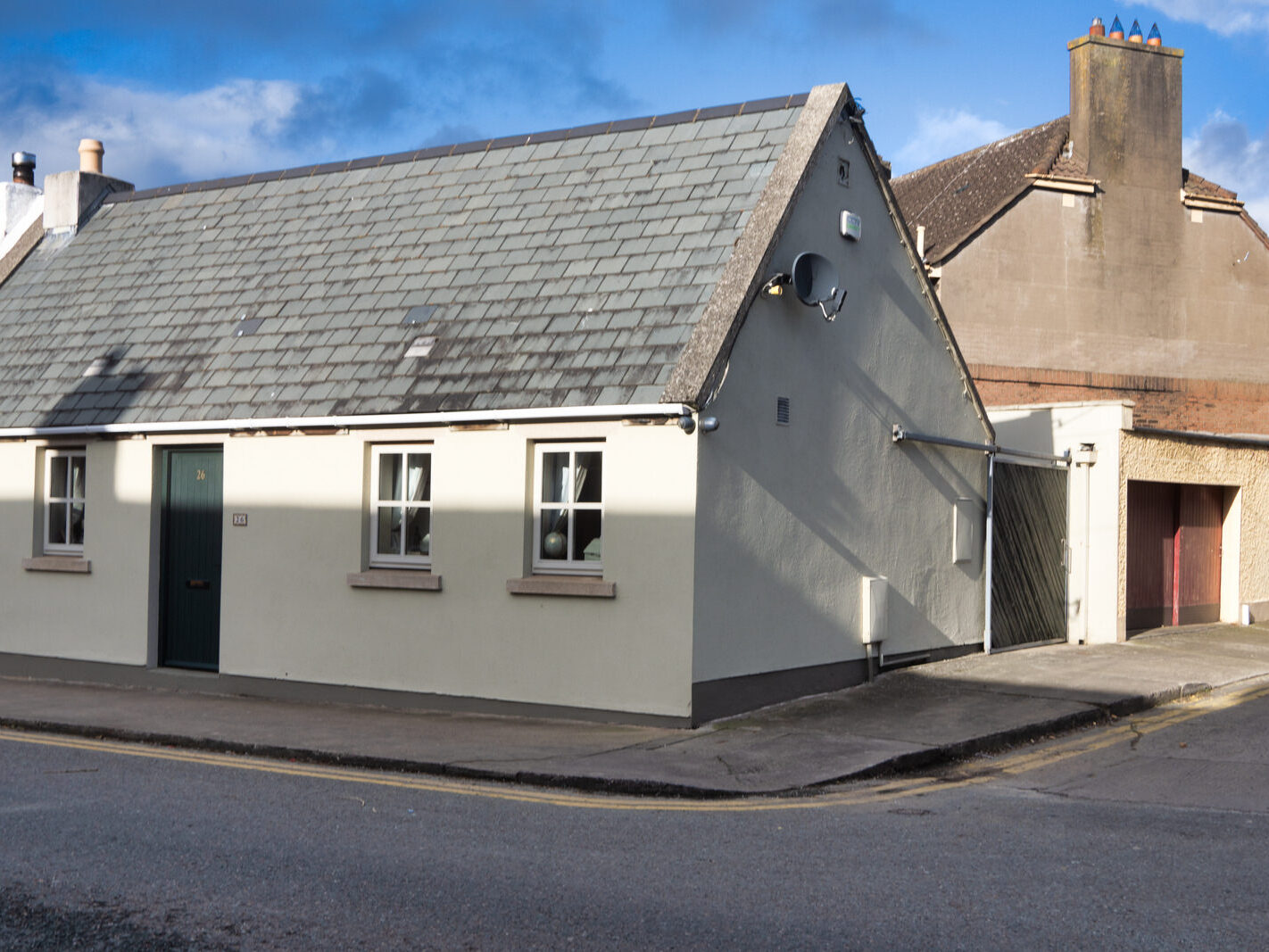
This charming, attached three-bay, single-storey cottage with attic accommodation, dating back to approximately 1780, stands at 28 Brookfield Road, Kilmainham. A recent glazed sun-room addition to the rear (north-east) elevation complements the original structure. The cottage features a pitched slate roof, complete with a rendered chimneystack, coping, and cast-iron rainwater goods. Clay ridge tiles and painted rubble stone walls contribute to its unique character. Square-headed window openings, framed by masonry lintels and granite sills, house timber frame windows. A square-headed door opening leads to the front, featuring a timber battened door opening onto a granite step.

This modest vernacular dwelling represents a traditional architectural style increasingly scarce in urban environments. It retains much of its original form and fabric, with its small windows and high roof-pitch more reminiscent of rural than urban residences. The painted rubble stone walls, which would originally have been whitewashed, offer a delightful contrast to the prevalent red brick of the street, making it a distinctive feature of the streetscape. However, this historic cottage now faces a dramatic change to its surroundings. Brookfield Road and its immediate environs are currently undergoing a significant transformation with the construction of the vast new Children’s Hospital, a project nearing completion. This imposing development will undoubtedly dominate the landscape, significantly altering the character of Brookfield Road and casting a long shadow, both literally and figuratively, over this small piece of Dublin’s architectural heritage.


Filed Under: Brookfield Road, Children's Hospital, Infomatique, Kilmainham, Sony FX30, William, William Murphy Tagged With: 18th century, 22 February, architectural heritage, Brookfield Road, Children's Hospital, Cottage, Dublin, historic building, Infomatique, Kilmainham, Photonique, rubble stone, slate roof, Sony FX30, sun-room, timber windows, vernacular architecture, William Murphy

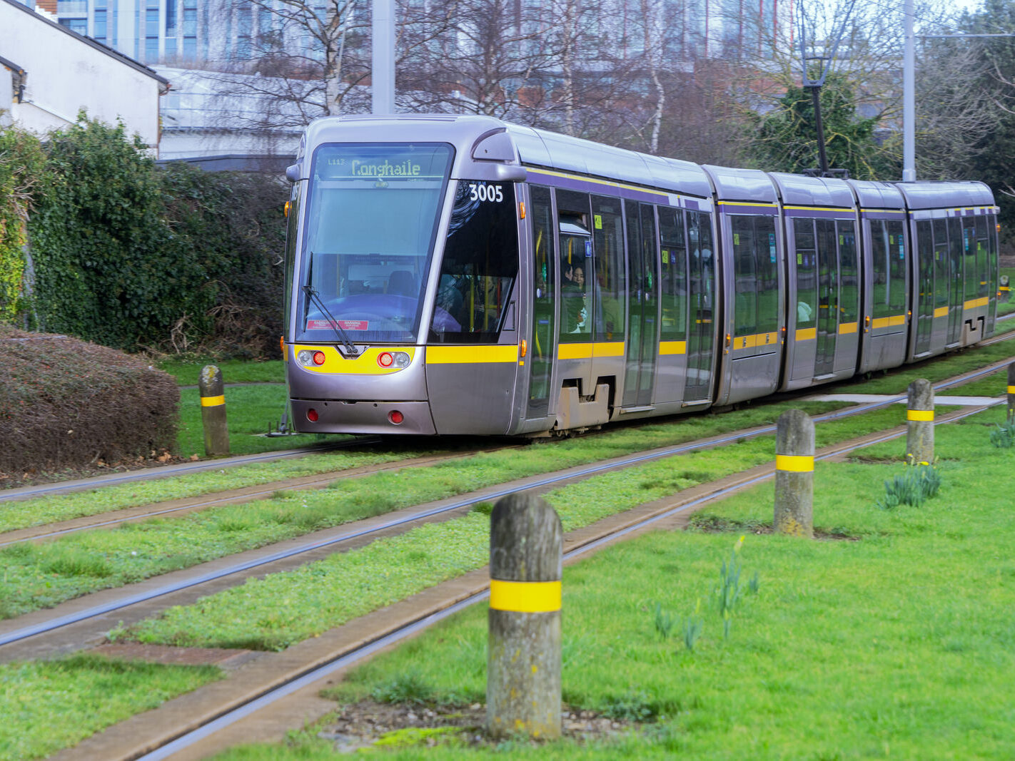
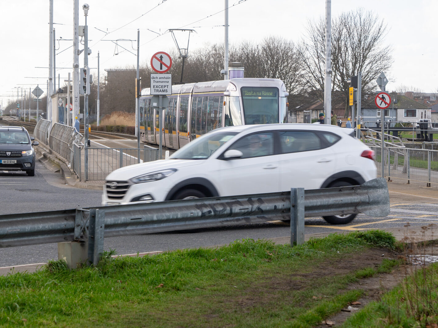
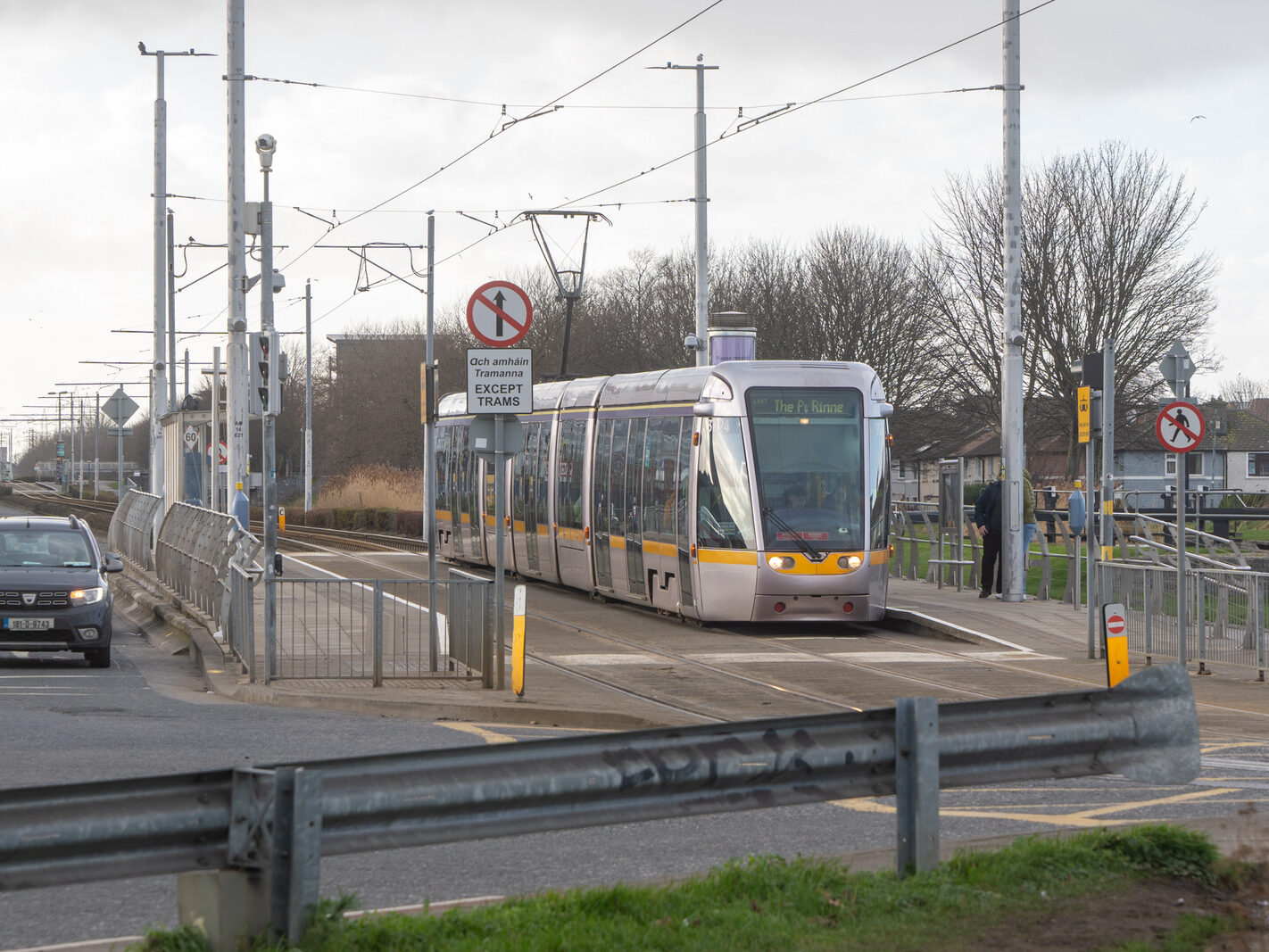
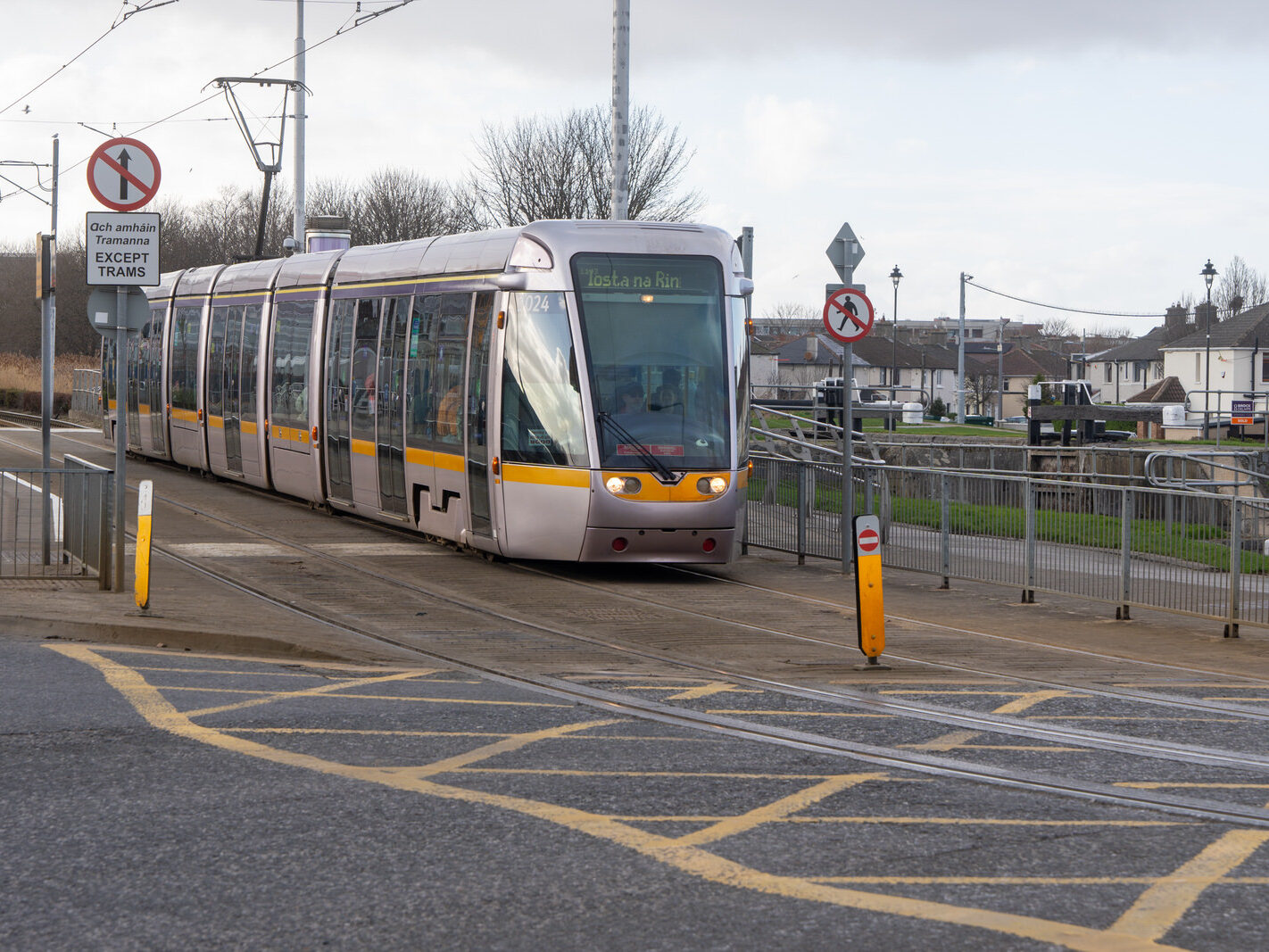
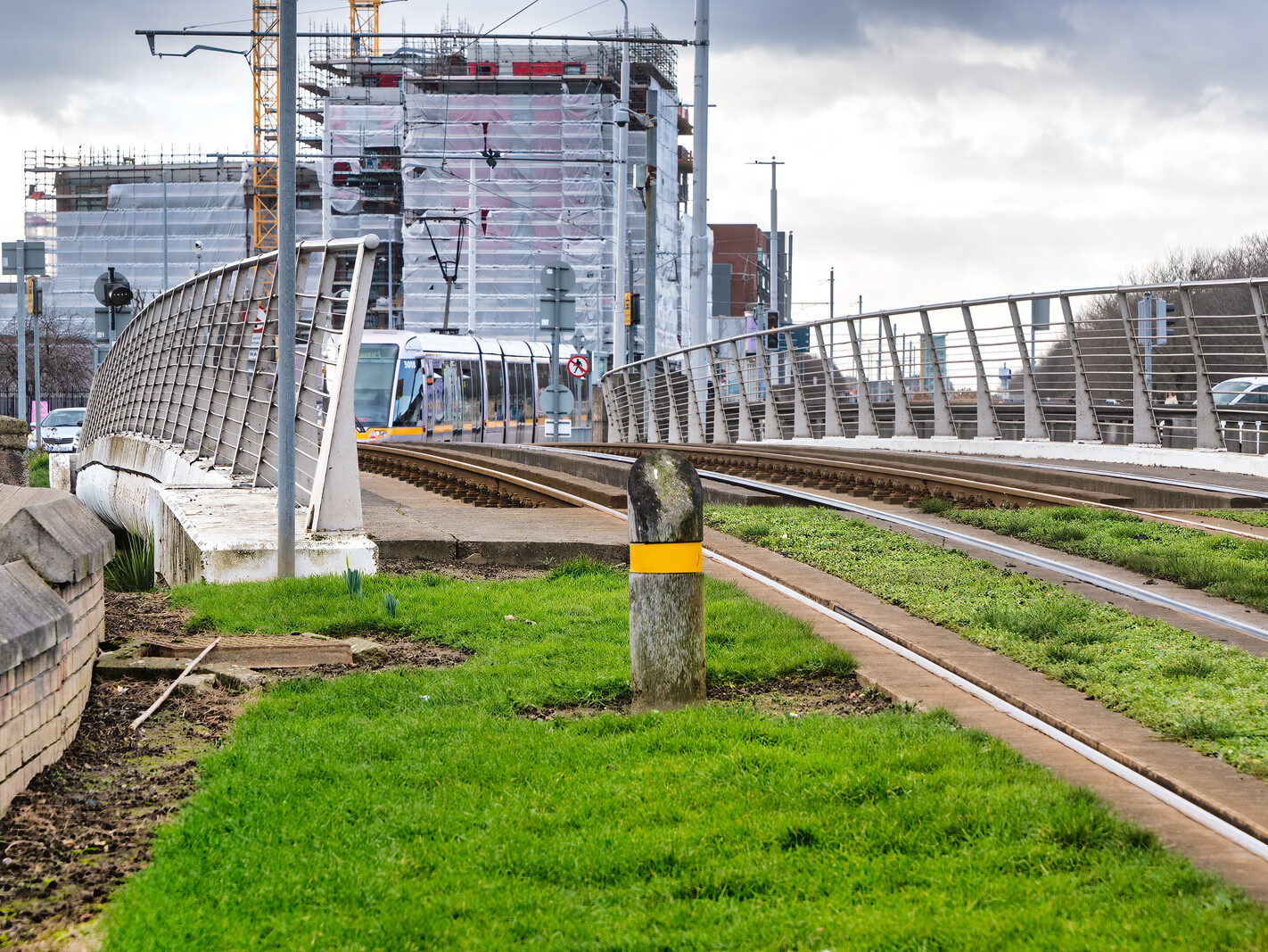
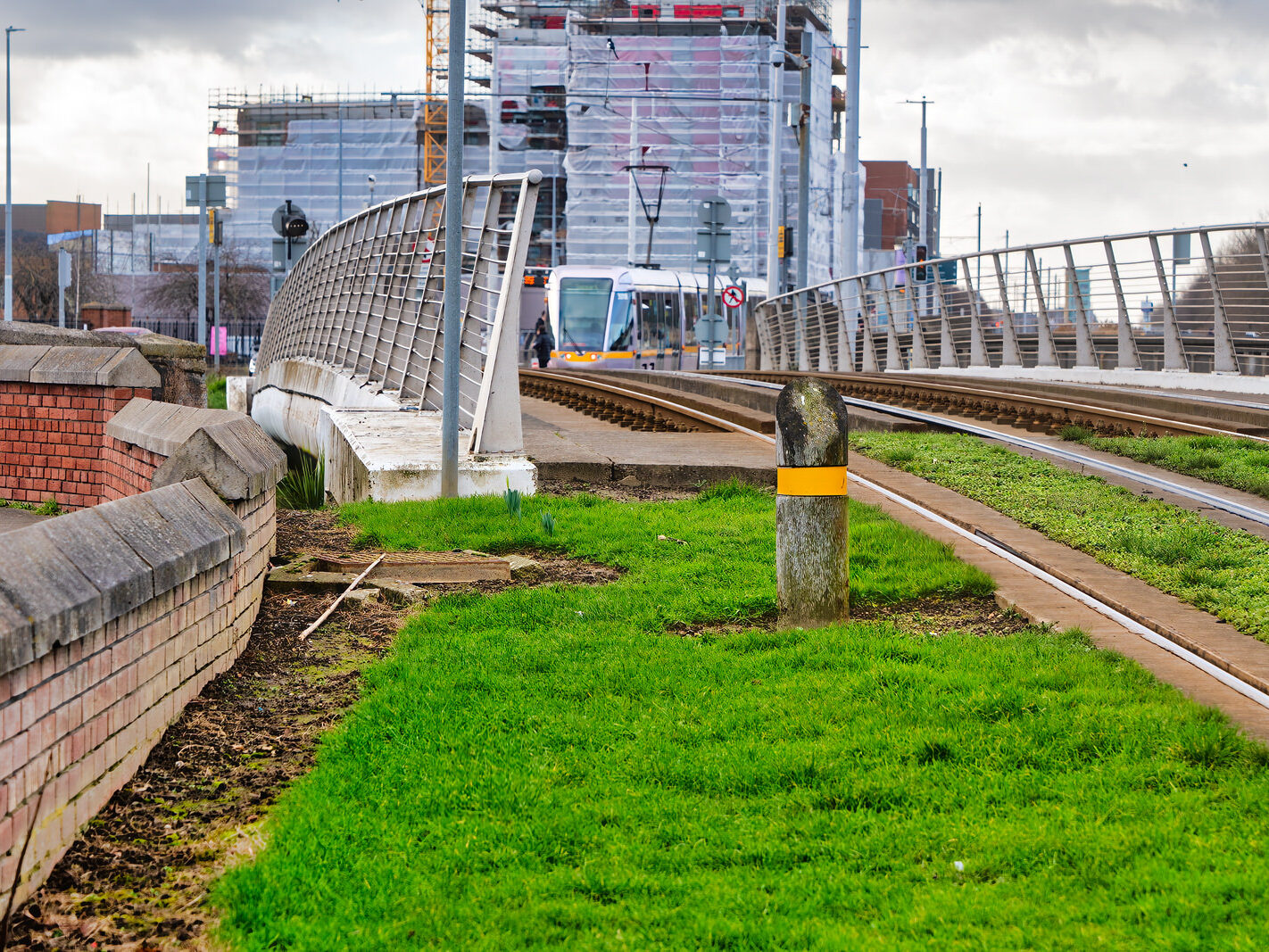
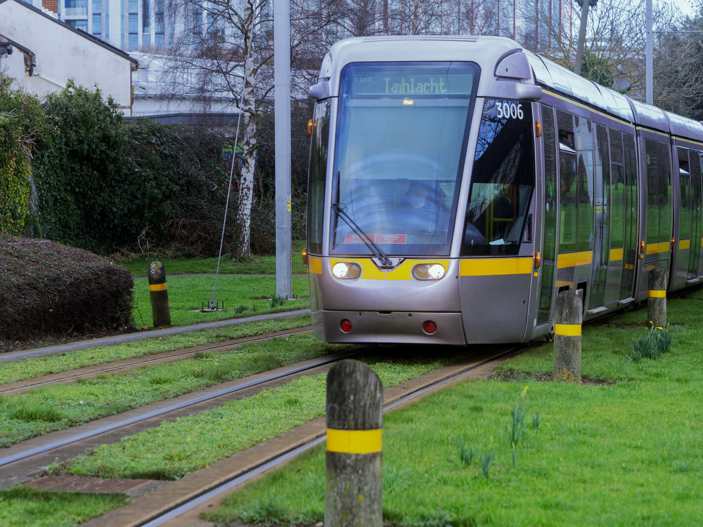
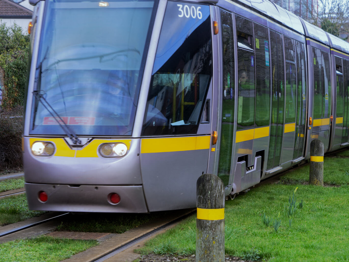
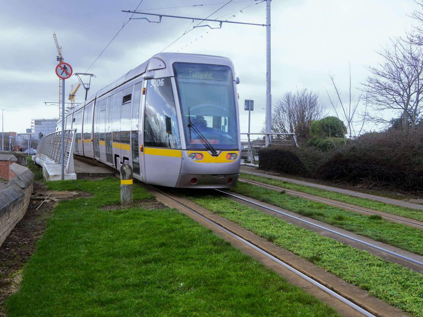
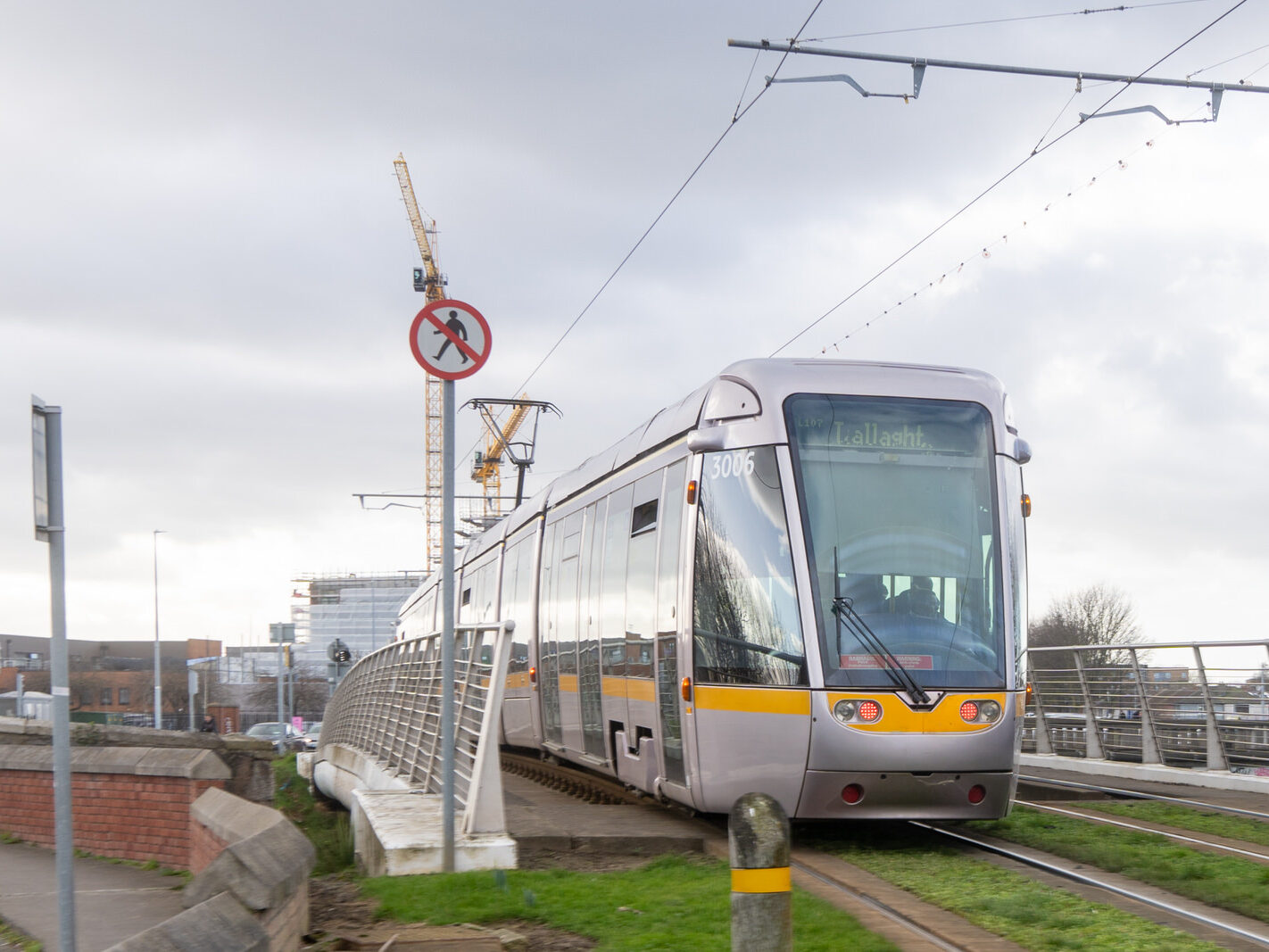
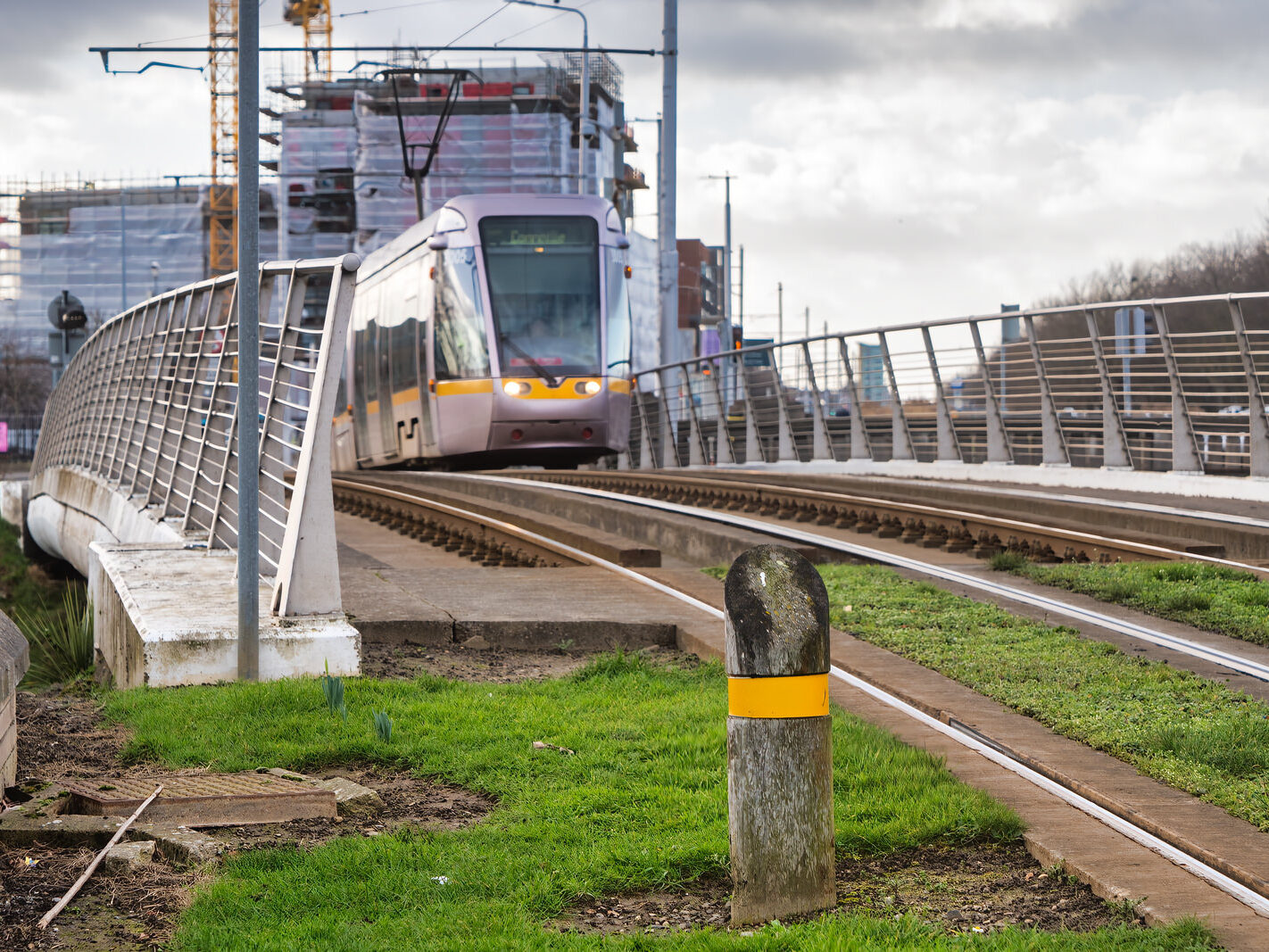
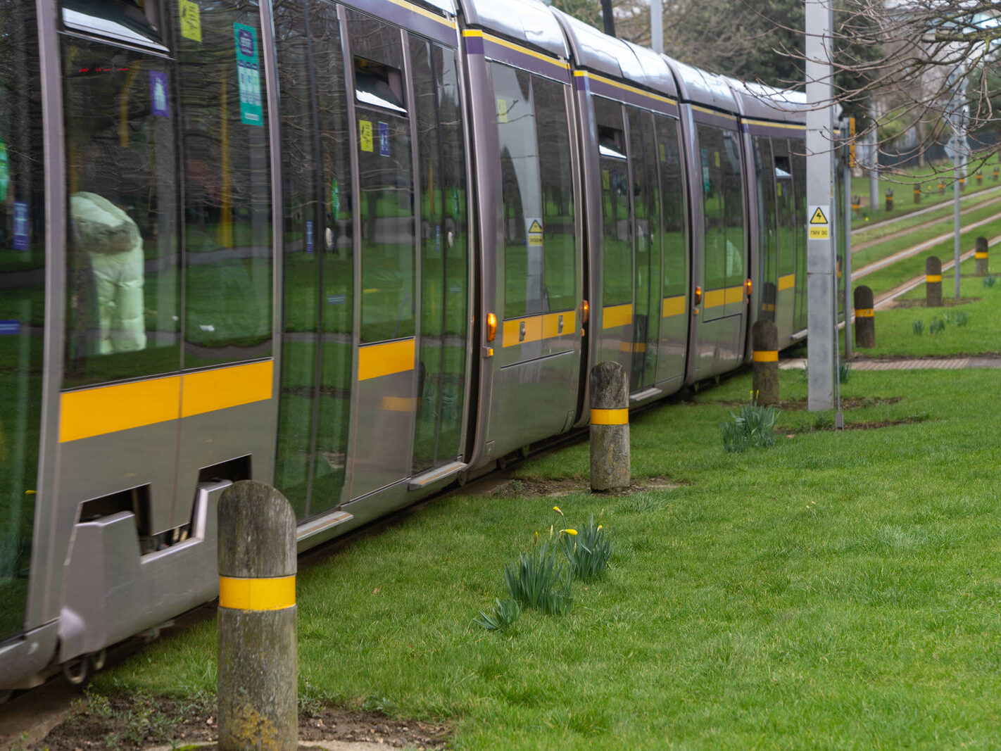
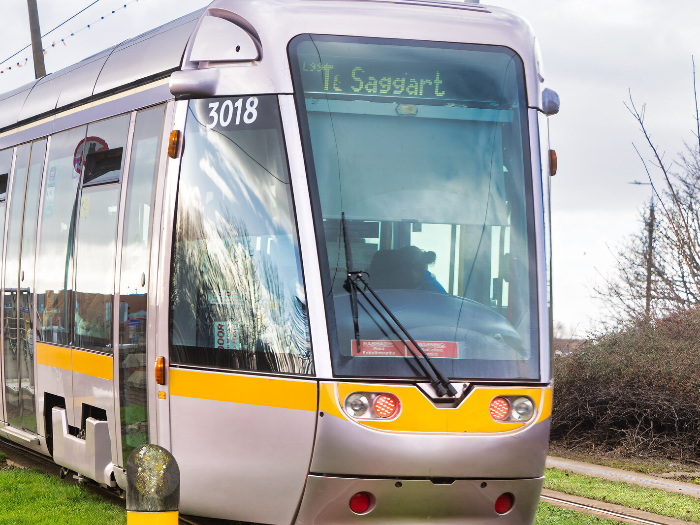
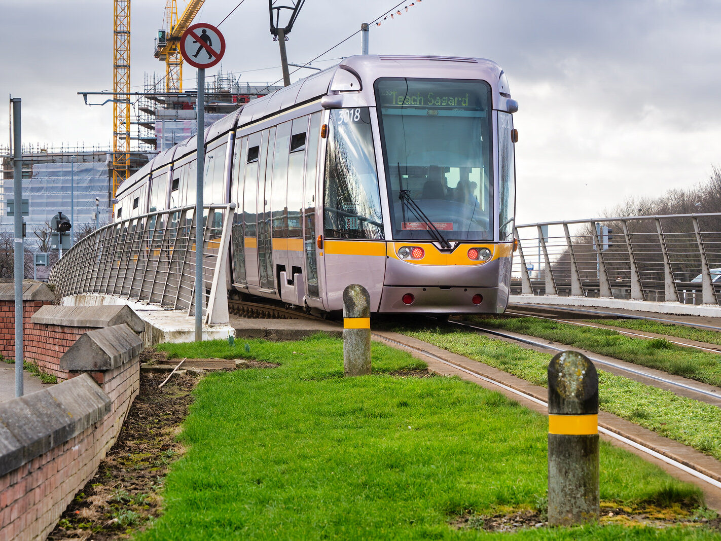
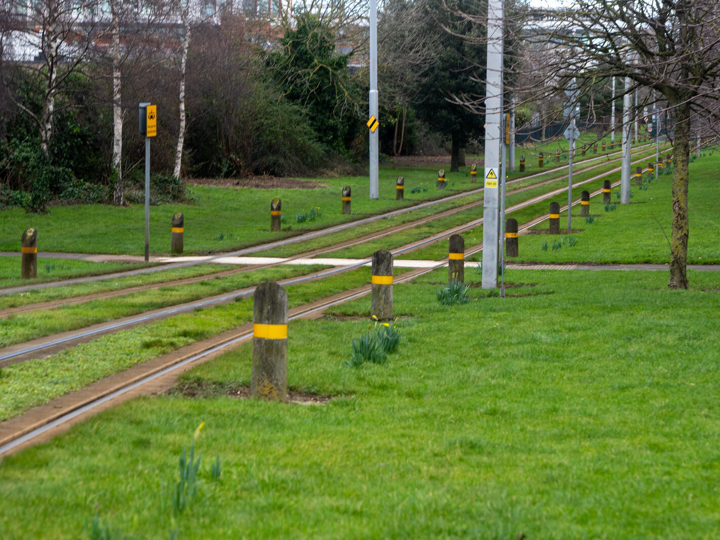
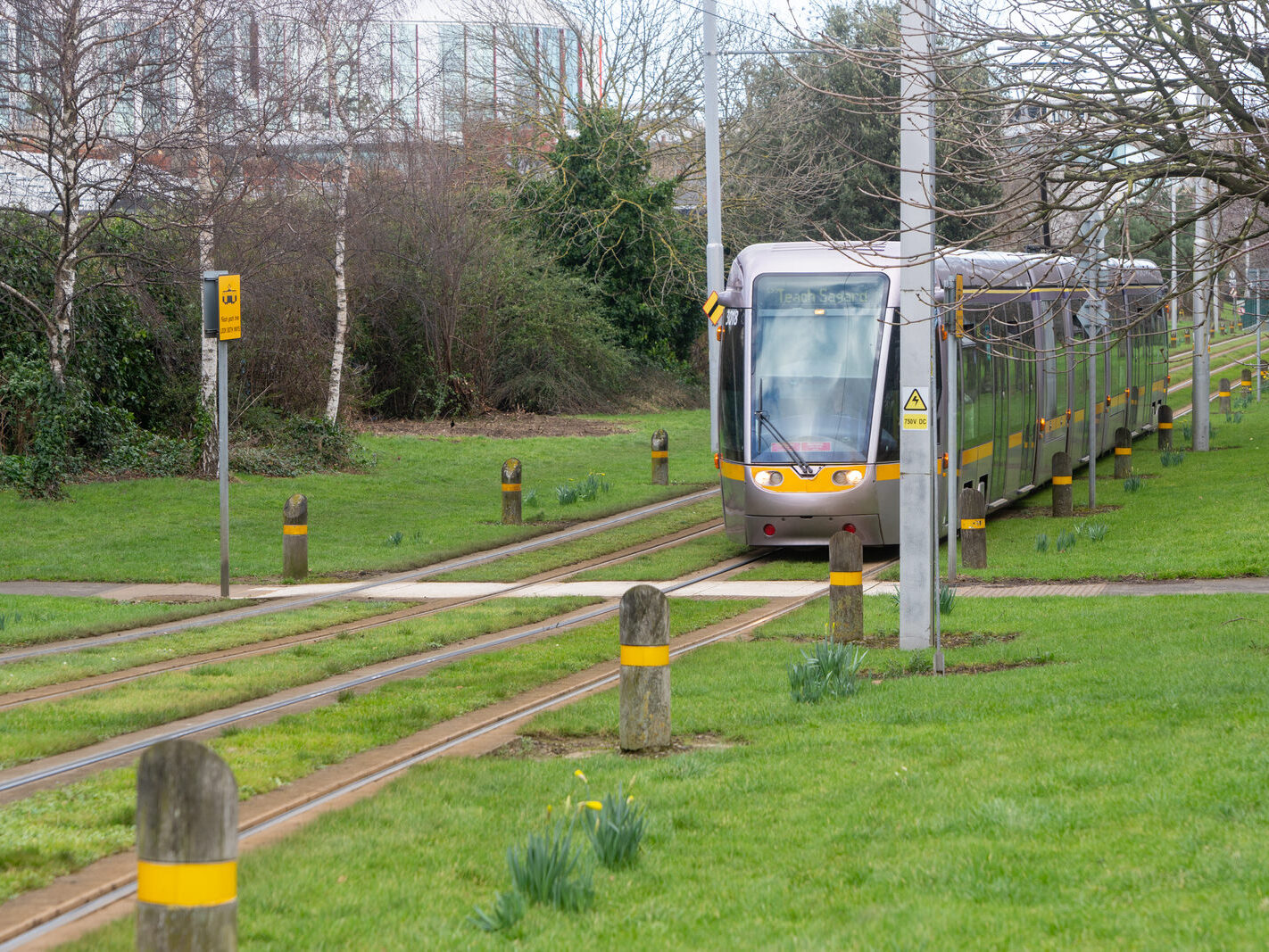
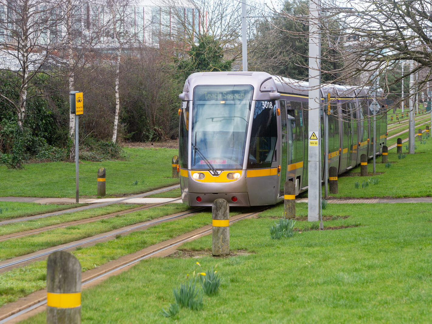
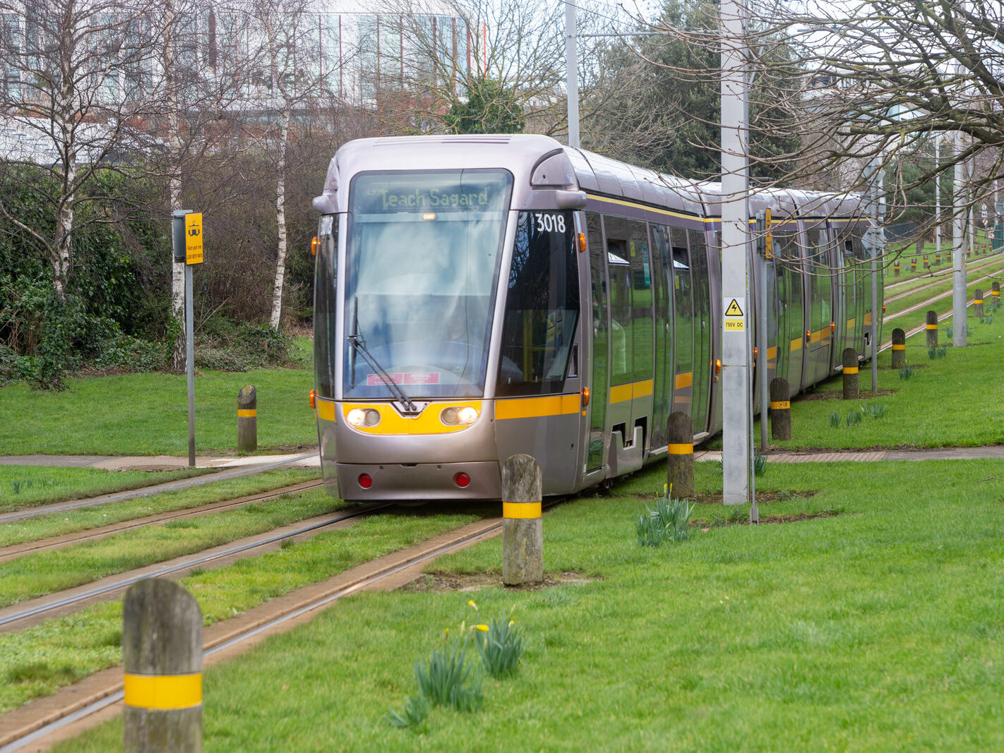
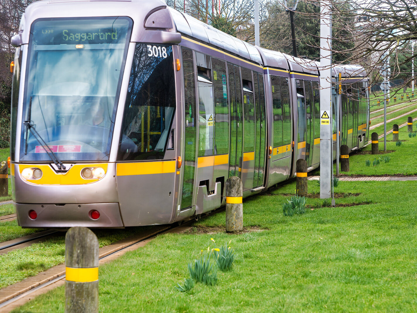
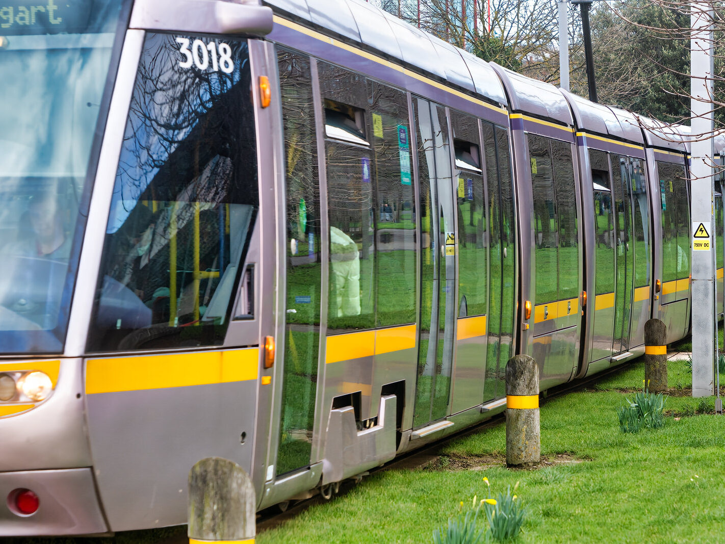
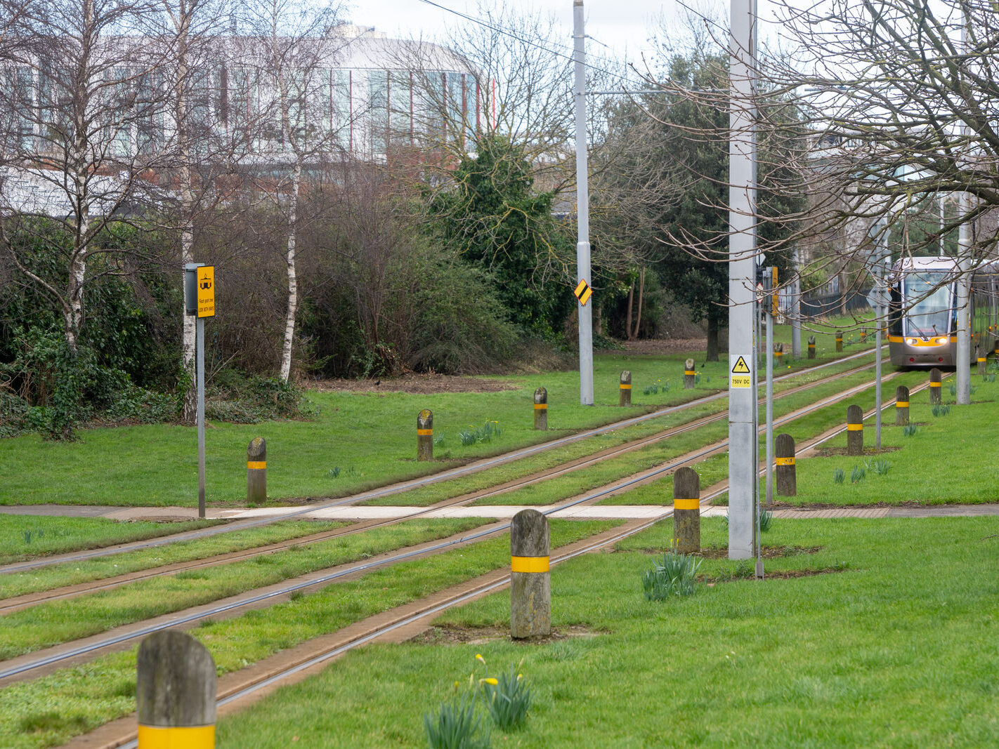
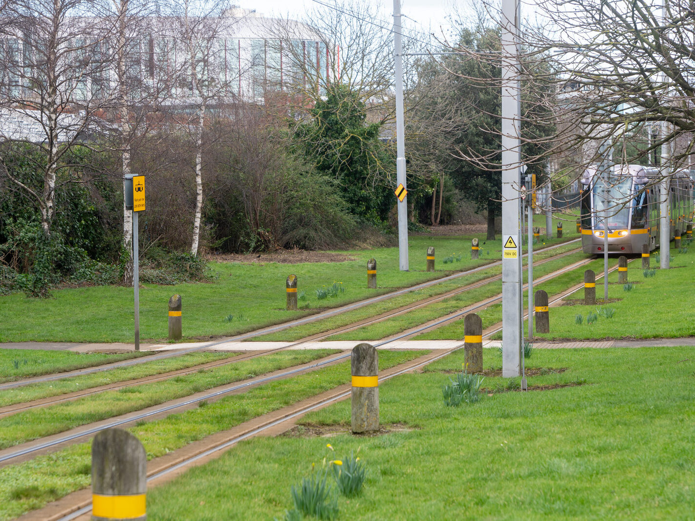
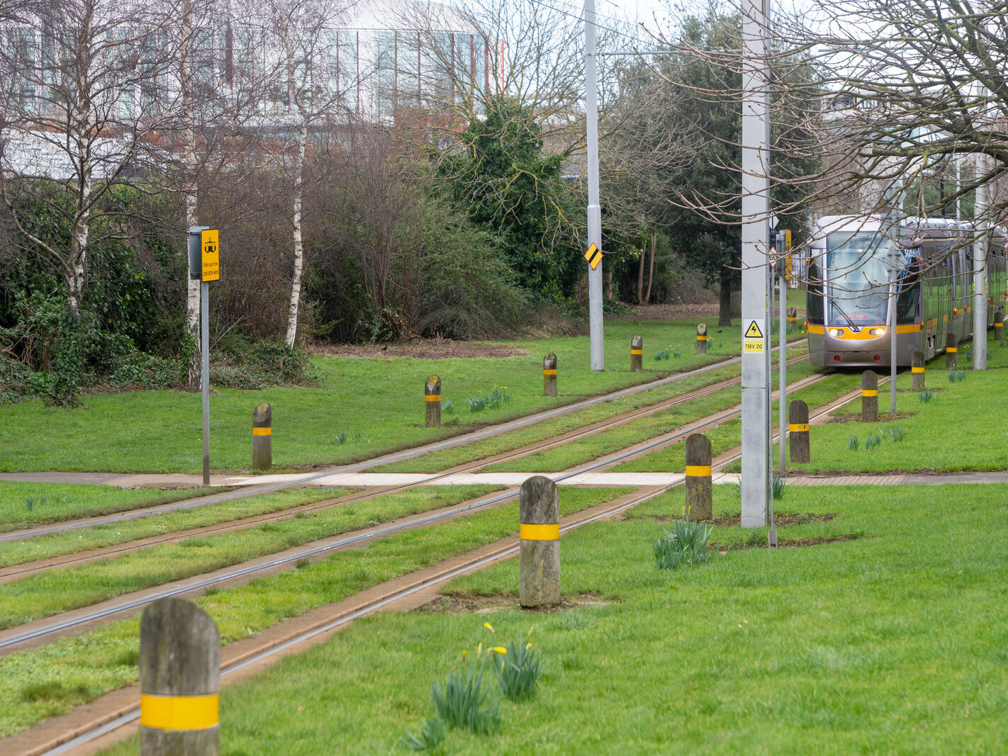
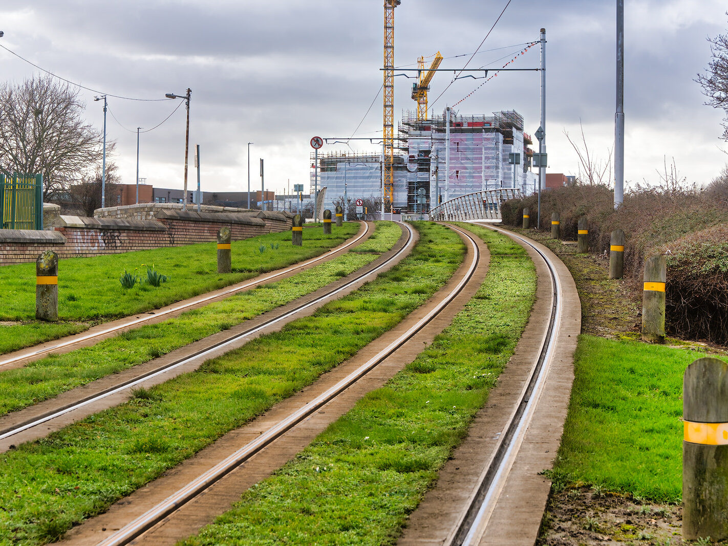
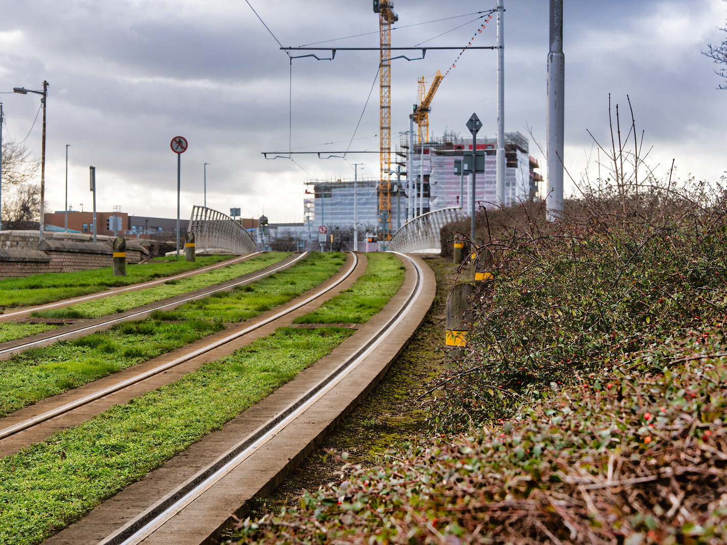
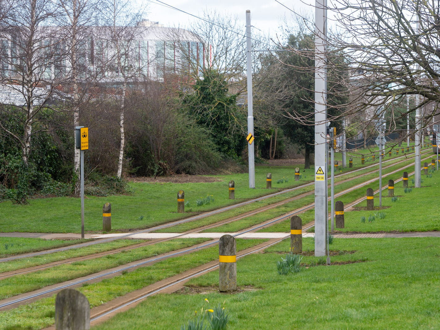
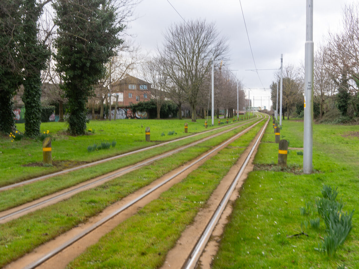
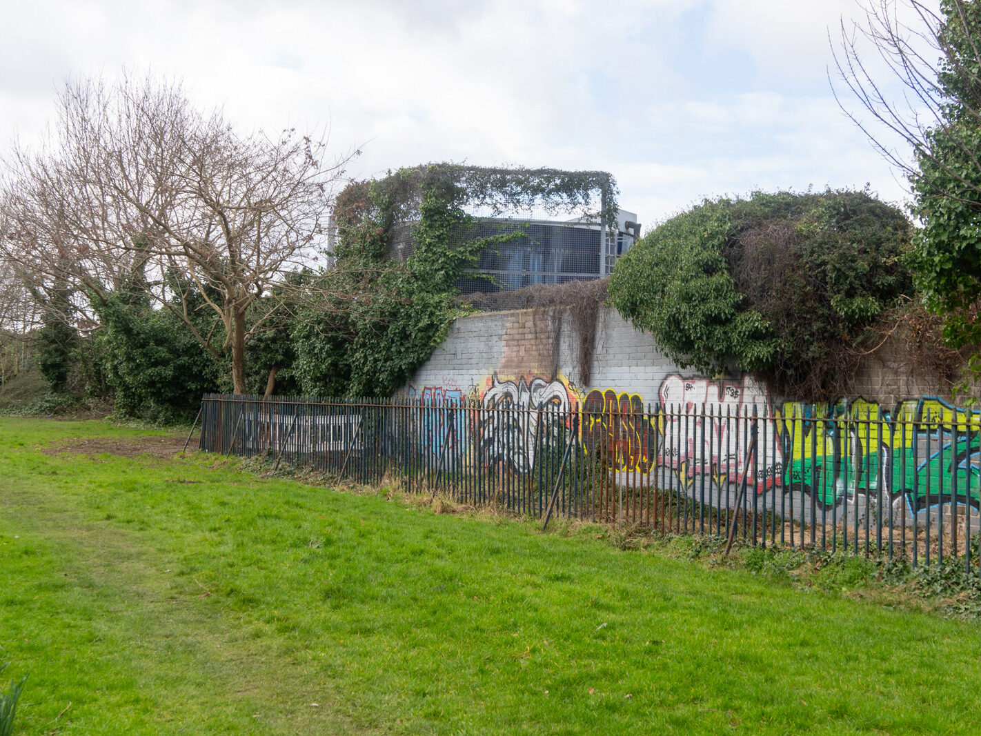
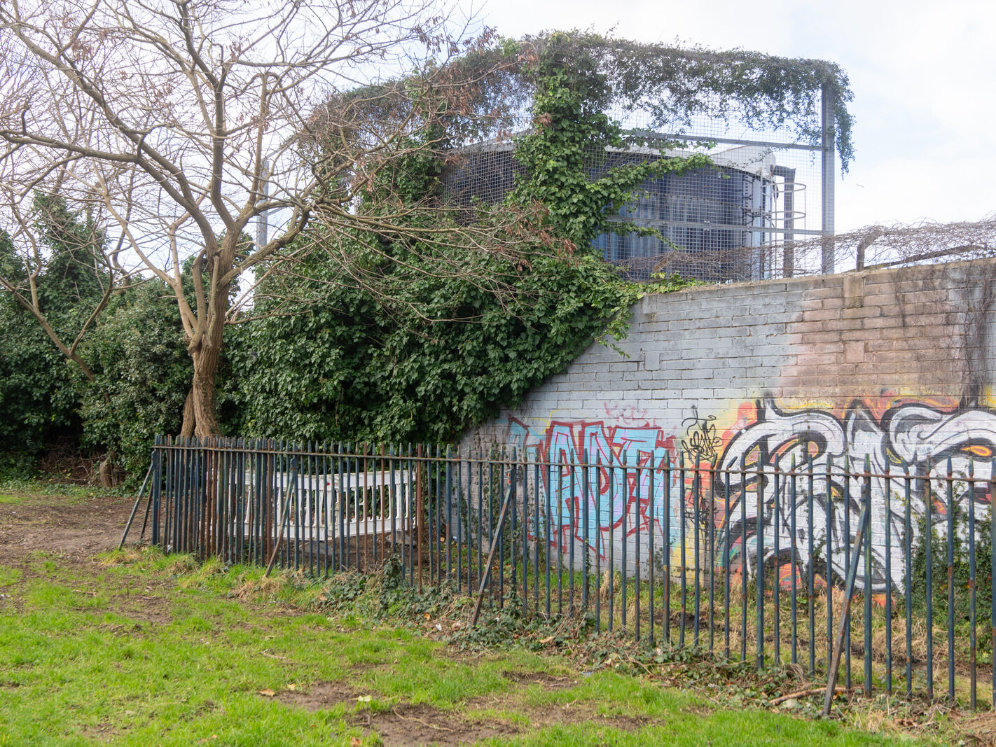
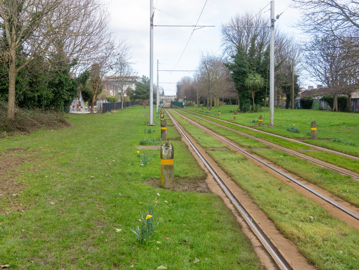
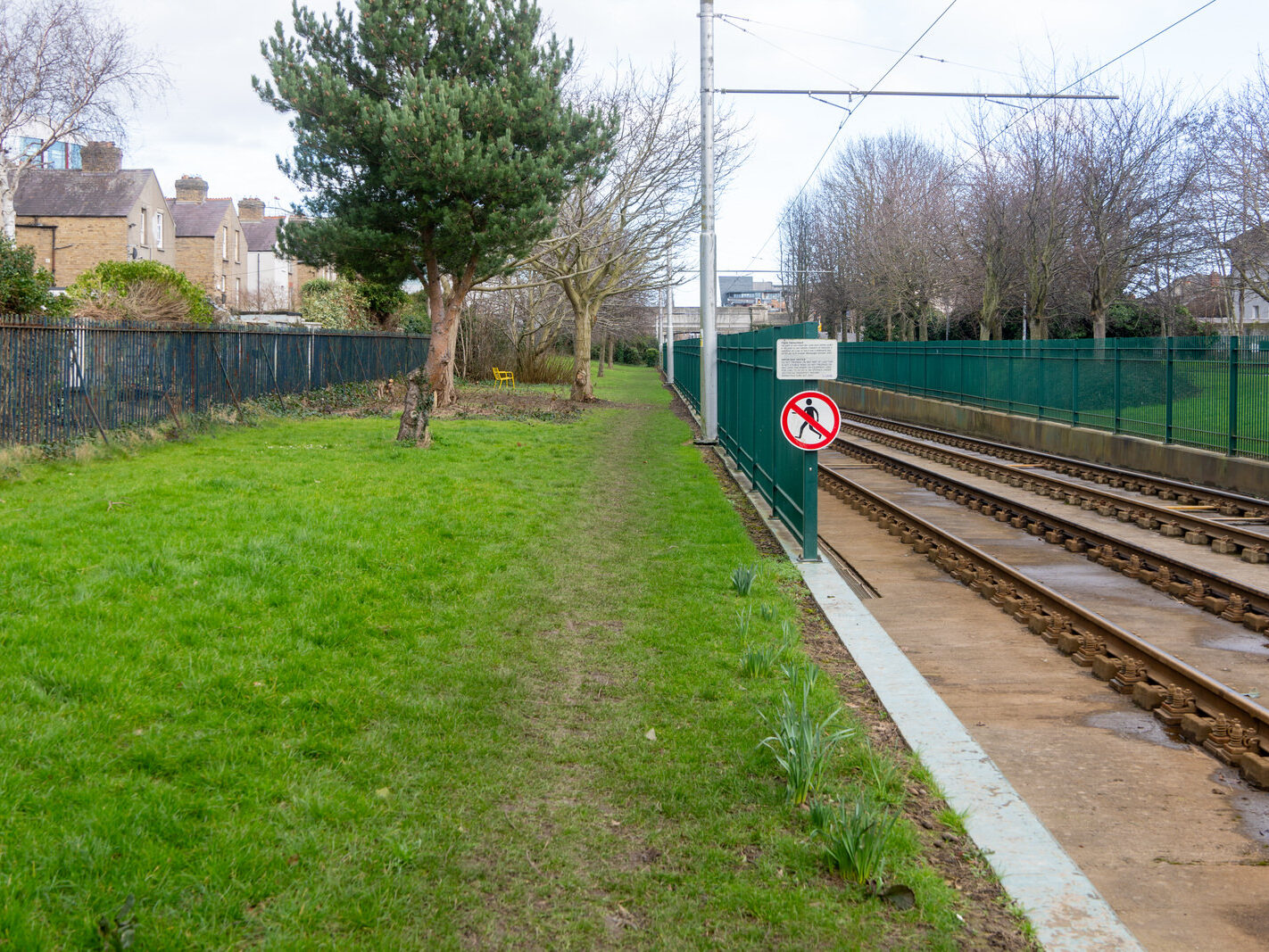
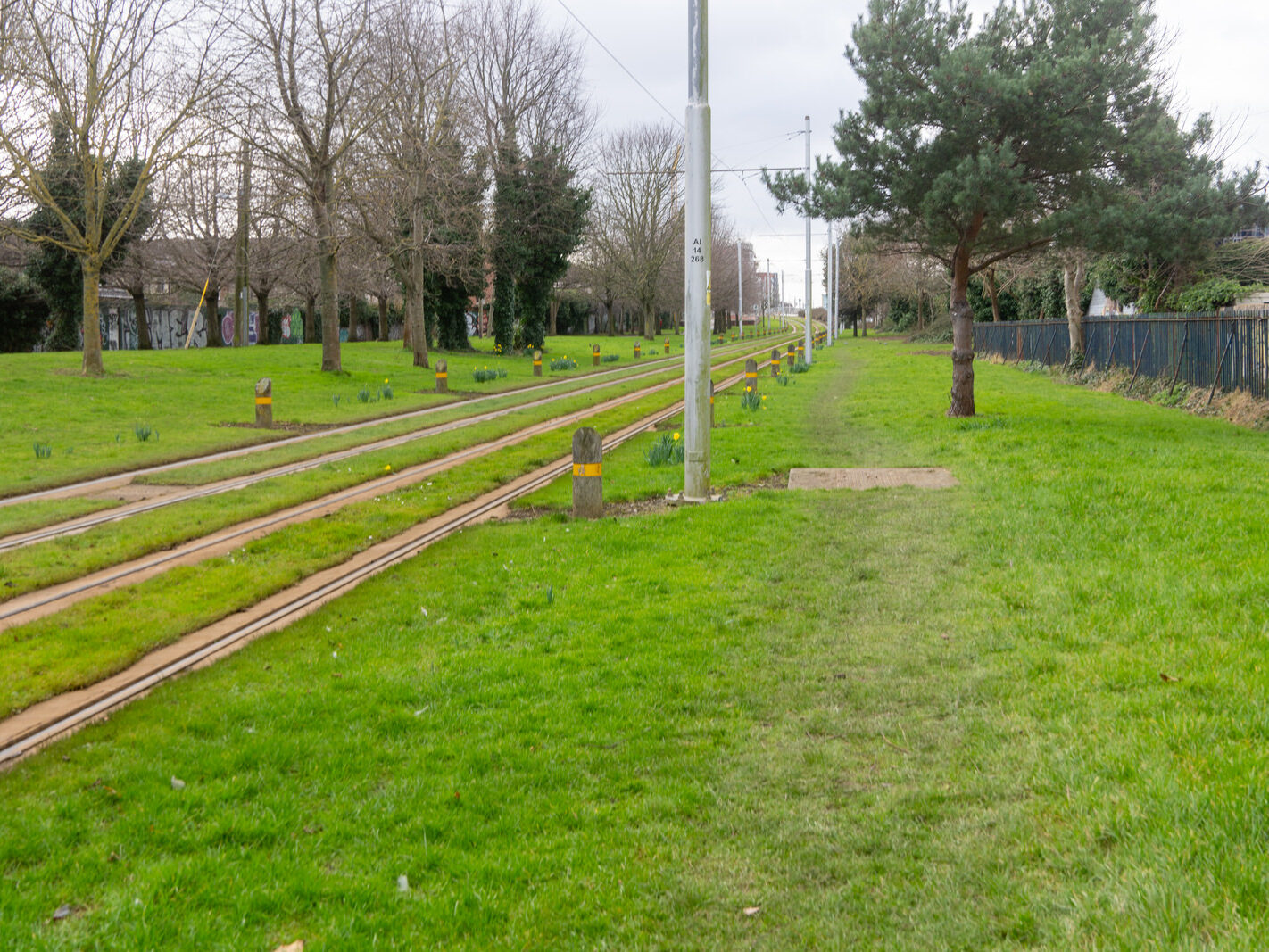
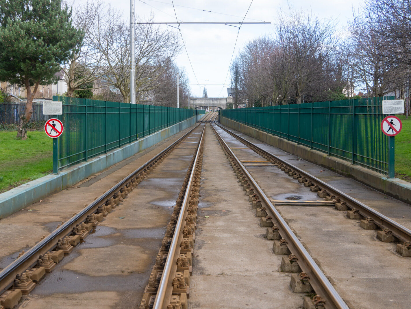
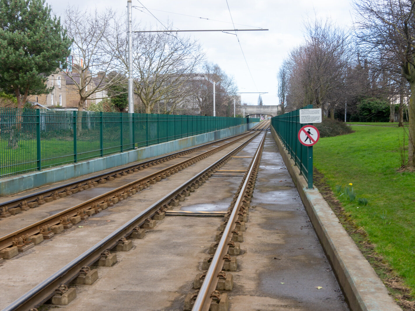
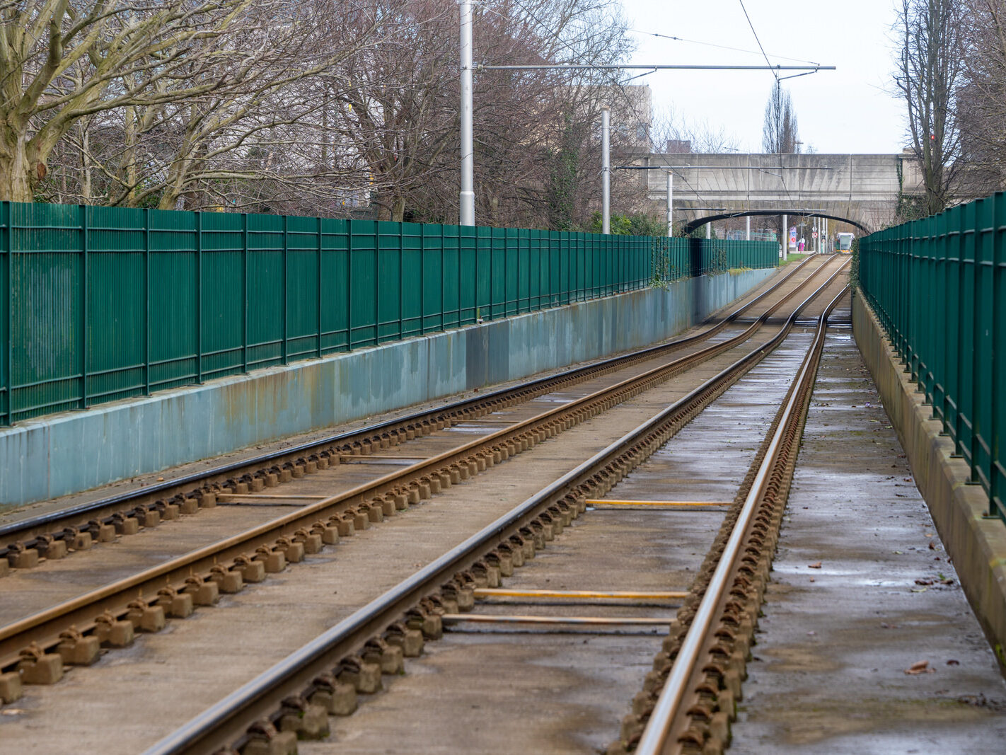
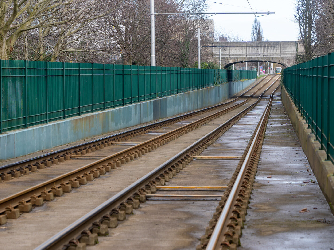
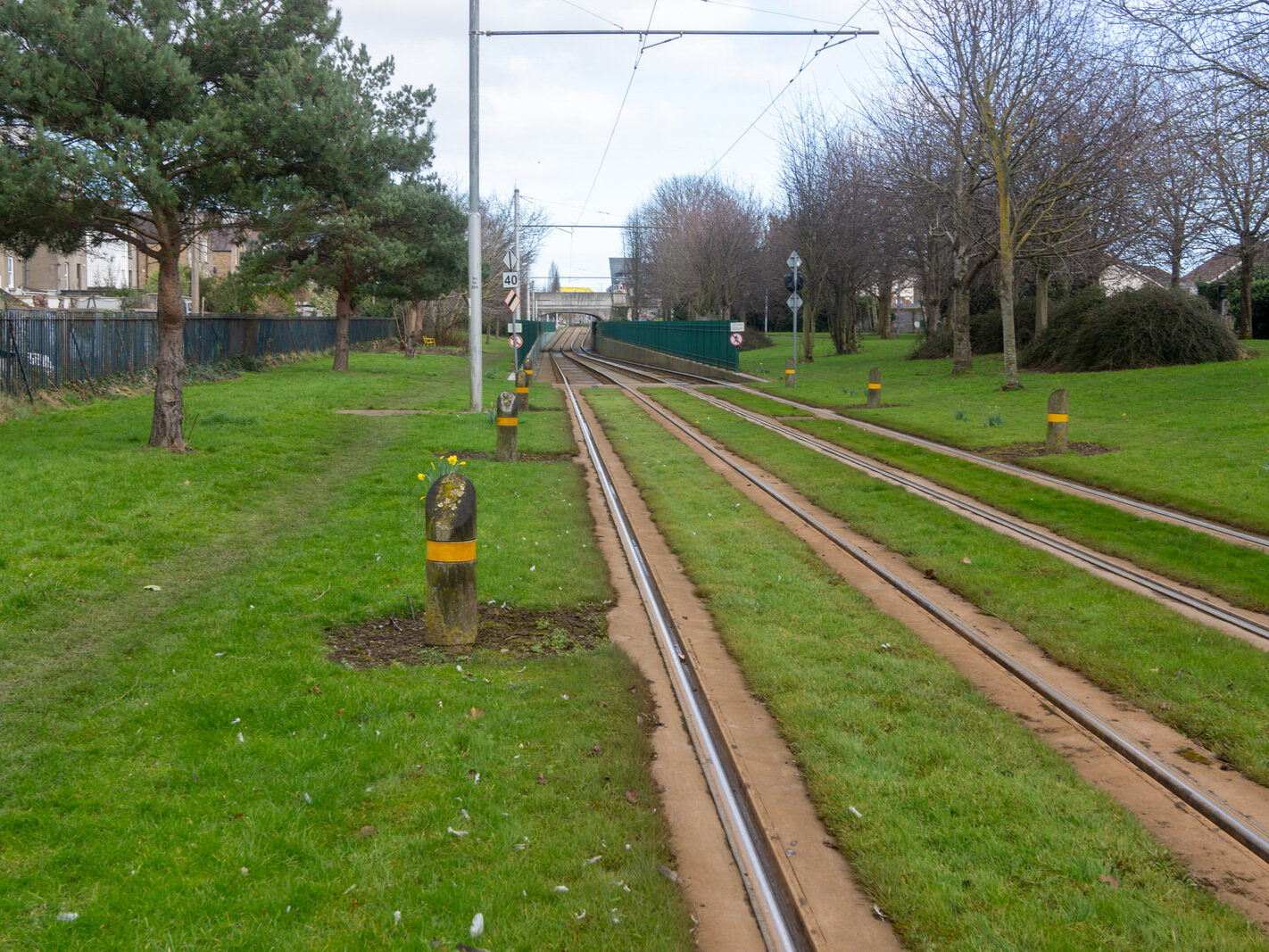
EXPLORING A UNIQUE SECTION OF THE LUAS RED LINE

February 23, 2025 by infomatique

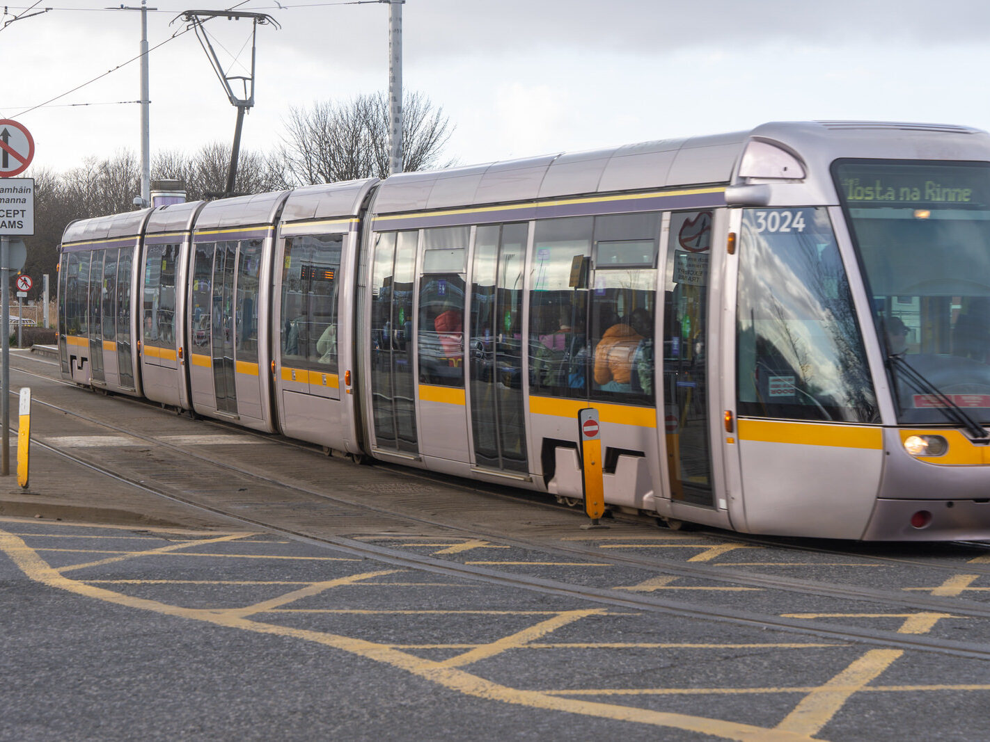
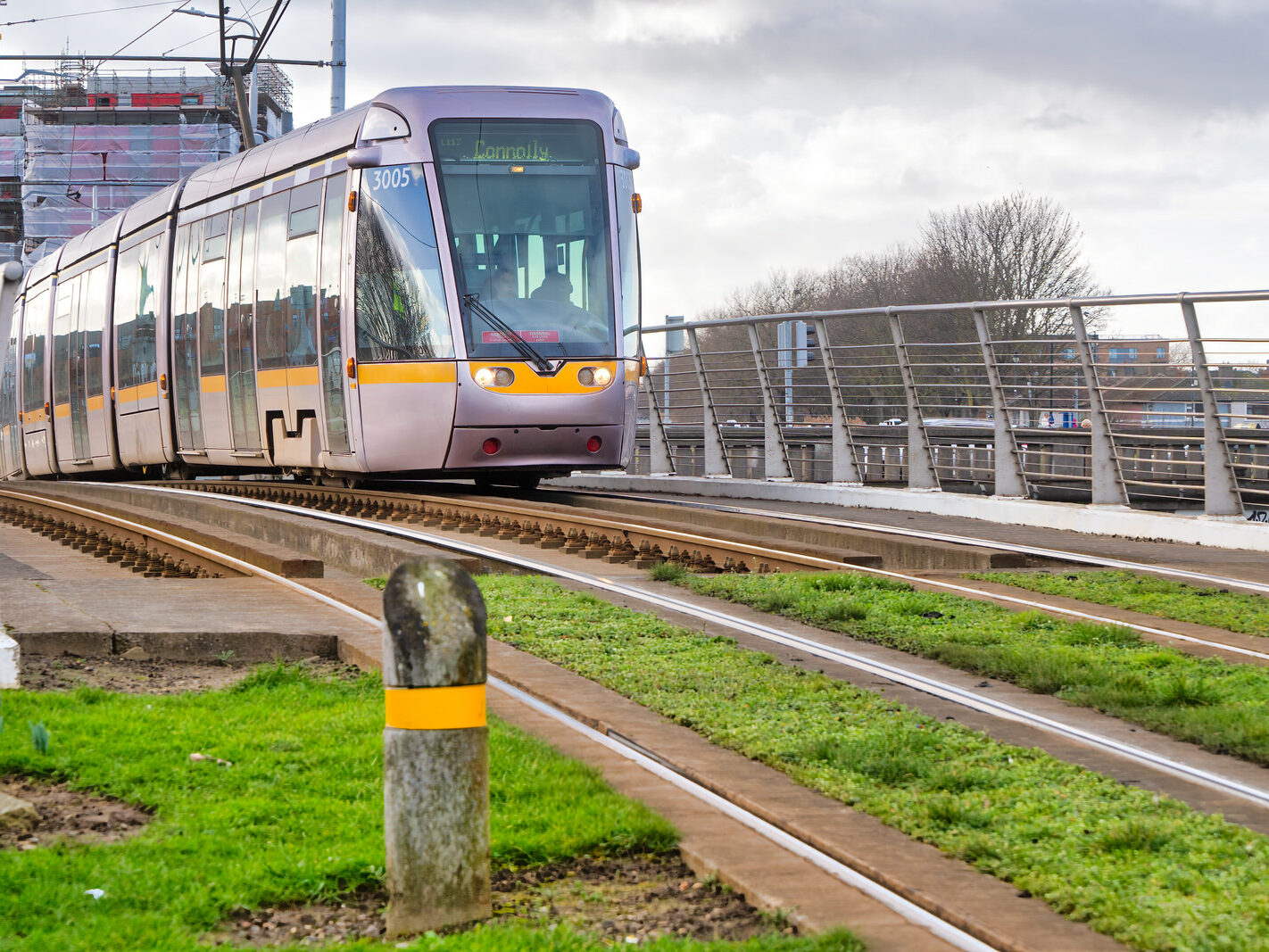
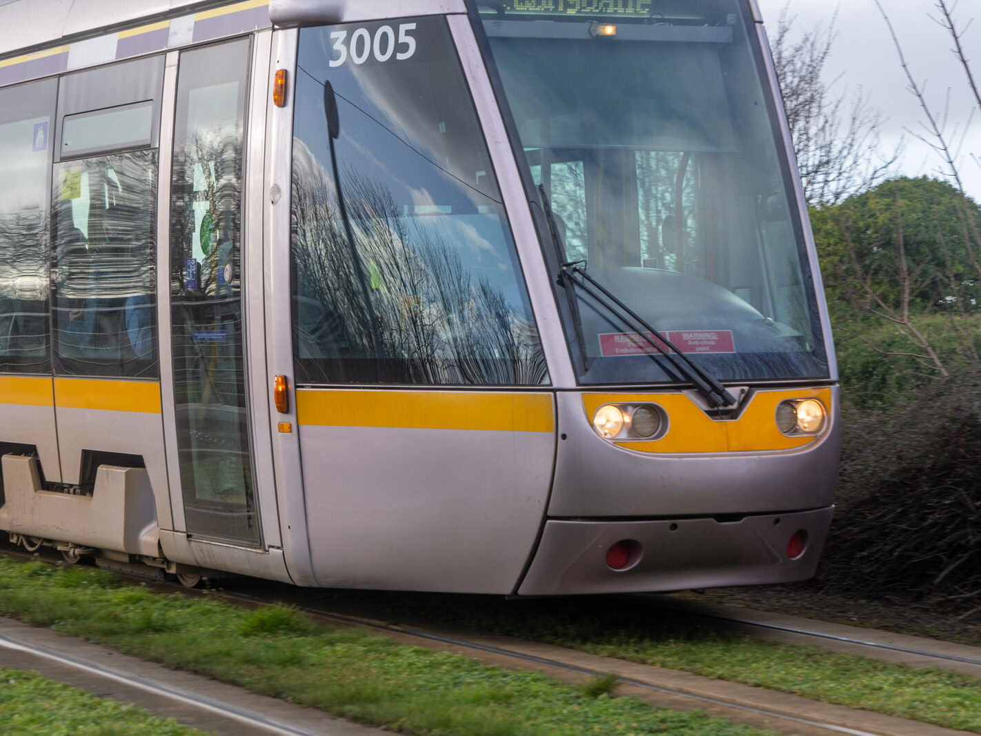
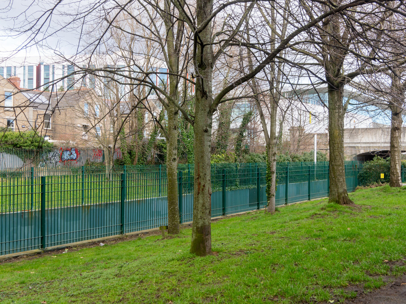
THE GRASS SECTION BETWEEN THE SUIR ROAD STOP AND THE RIALTO STOP


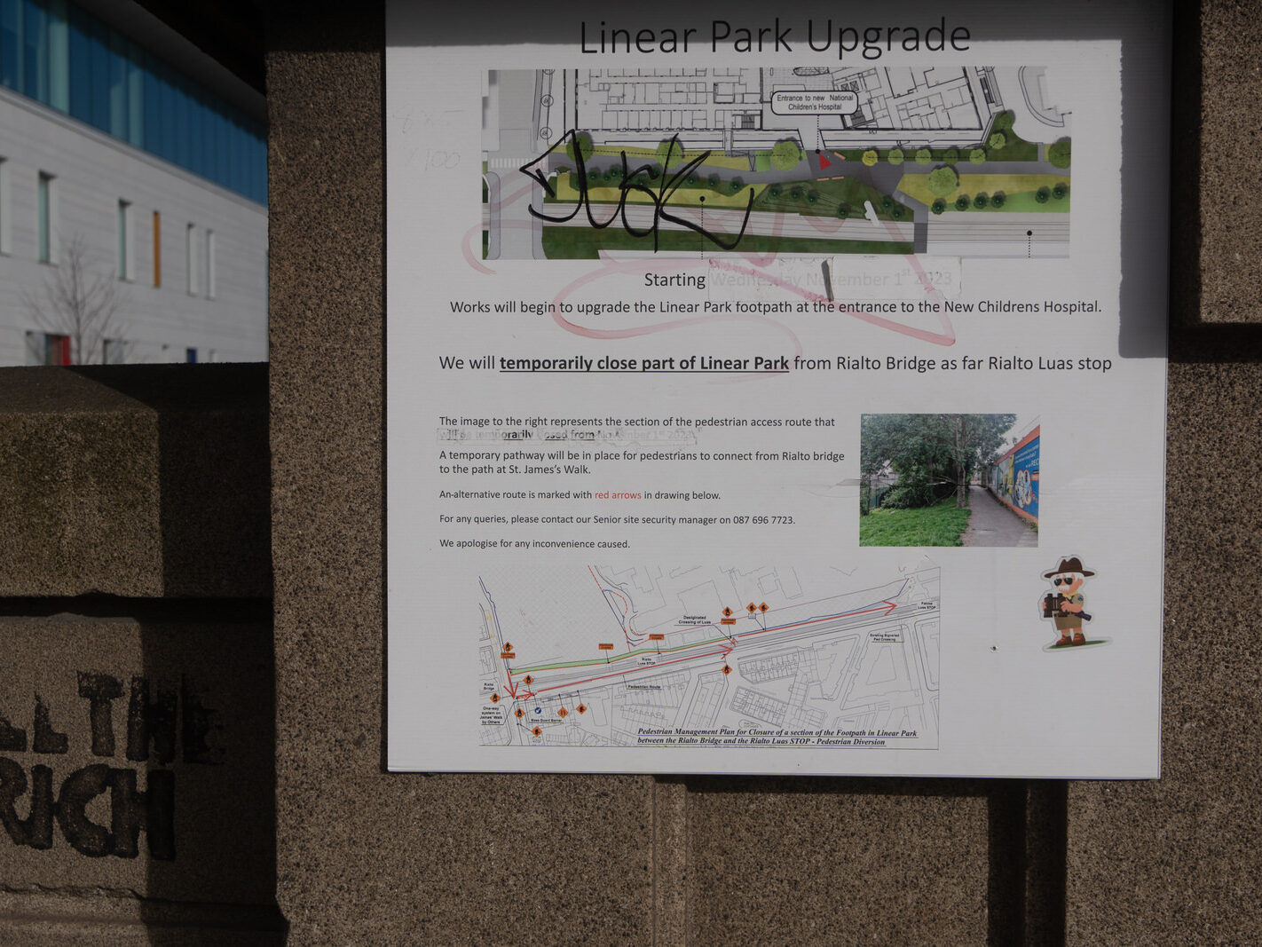
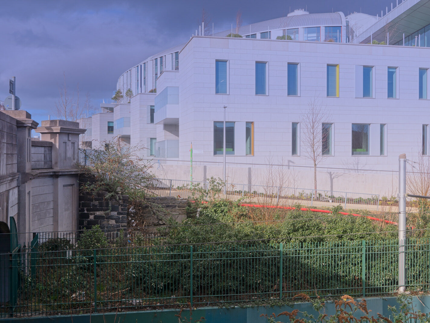
I visited the area as I wanted to explore the new Children’s Hospital.

From Canal to Rail: The story begins with the Grand Canal, a vital 18th and 19th-century transport network. James’s Street Harbour, a bustling hub connected to Guinness’s operations, was a key part of this system. However, the canal system declined due to the rise of railways, which offered faster and more efficient transport. Ironically, sections of these very canals, including the one connected to James’s Street Harbour, were later filled in. Now, history has come full circle: the LUAS Red Line, a 21st-century light rail system, utilises the path of this filled-in canal, demonstrating how old transport corridors can be repurposed for new technologies.

The Rise and Fall (and Rise Again) of Transport: We see a clear pattern: canals gave way to railways, which in turn faced competition from road transport. The wheel turns again as cities now grapple with traffic congestion and seek more sustainable solutions. Light rail, like the LUAS, re-emerges as a viable option, often utilising existing rights-of-way—in this case, the old canal route.

The Children’s Hospital Connection: Adding another layer to this historical tapestry, the new Children’s Hospital is located on land associated with the original James’s Street area, near the old harbour. This means that the land, once a hub for canal traffic connected to Guinness and other industries, is now home to a major medical facility served by a modern light rail system running along the path of the old canal.

A Full Circle: This sequence of events is a powerful illustration of how urban landscapes evolve. A transport system (canals) becomes obsolete, its infrastructure is repurposed, and then, a new transport system (light rail) reuses that repurposed land. The location of the Children’s Hospital on land associated with the old James’s Street Harbour further emphasises this cycle of change and adaptation. It’s a testament to how cities constantly reinvent themselves, often building the future on the foundations of the past.


Filed Under: Grand Canal, Infomatique, Luas Red Line, Photonique, Public Transport, Sony FX30, William, William Murphy Tagged With: accessibility, adaptation, barges, canals, Children's Hospital, commerce, cycle of infrastructure, Dublin, Dublin history, filled-in canal, Grand Canal, Guinness, healthcare, historical maps, history, hospital, industrial heritage, Infomatique, infrastructure, James's Street area, James's Street Harbour, light rail, LUAS Red Line, modernisation, obsolescence, Photonique, railways, regeneration, reuse, Rialto, right-of-way, road transport, Sony FE 24-70mm GM lens, Sony FX30, St. James's Gate Brewery, transportation, urban development, urban planning, William Murphy

  • Page 1
  • Page 2
  • Page 3
  • Go to Next Page »

Copyright © 2026 · Metro Pro on Genesis Framework · WordPress · Log in