PHOTOGRAPHED 22 FEBRUARY 2025
![LUAS TRAM STOP RIALTO [THIS WILL SERVICE THE NEW CHILDREN'S HOSPITAL]-247809-1](https://photonique.org/SouthOfTheRiverWordPress/wp-content/uploads/2025/02/LUAS-TRAM-STOP-RIALTO-THIS-WILL-SERVICE-THE-NEW-CHILDRENS-HOSPITAL-247809-1-1422x1067.jpg "LUAS TRAM STOP RIALTO [THIS WILL SERVICE THE NEW CHILDREN'S HOSPITAL]-247809-1")
![LUAS TRAM STOP RIALTO [THIS WILL SERVICE THE NEW CHILDREN'S HOSPITAL]-247807-1](https://photonique.org/SouthOfTheRiverWordPress/wp-content/uploads/2025/02/LUAS-TRAM-STOP-RIALTO-THIS-WILL-SERVICE-THE-NEW-CHILDRENS-HOSPITAL-247807-1-1422x1067.jpg "LUAS TRAM STOP RIALTO [THIS WILL SERVICE THE NEW CHILDREN'S HOSPITAL]-247807-1")
![LUAS TRAM STOP RIALTO [THIS WILL SERVICE THE NEW CHILDREN'S HOSPITAL]-247808-1](https://photonique.org/SouthOfTheRiverWordPress/wp-content/uploads/2025/02/LUAS-TRAM-STOP-RIALTO-THIS-WILL-SERVICE-THE-NEW-CHILDRENS-HOSPITAL-247808-1-1422x1067.jpg "LUAS TRAM STOP RIALTO [THIS WILL SERVICE THE NEW CHILDREN'S HOSPITAL]-247808-1")
![LUAS TRAM STOP RIALTO [THIS WILL SERVICE THE NEW CHILDREN'S HOSPITAL]-247806-1](https://photonique.org/SouthOfTheRiverWordPress/wp-content/uploads/2025/02/LUAS-TRAM-STOP-RIALTO-THIS-WILL-SERVICE-THE-NEW-CHILDRENS-HOSPITAL-247806-1-1422x1067.jpg "LUAS TRAM STOP RIALTO [THIS WILL SERVICE THE NEW CHILDREN'S HOSPITAL]-247806-1")
![LUAS TRAM STOP RIALTO [THIS WILL SERVICE THE NEW CHILDREN'S HOSPITAL]-247803-1](https://photonique.org/SouthOfTheRiverWordPress/wp-content/uploads/2025/02/LUAS-TRAM-STOP-RIALTO-THIS-WILL-SERVICE-THE-NEW-CHILDRENS-HOSPITAL-247803-1-1422x1067.jpg "LUAS TRAM STOP RIALTO [THIS WILL SERVICE THE NEW CHILDREN'S HOSPITAL]-247803-1")
![LUAS TRAM STOP RIALTO [THIS WILL SERVICE THE NEW CHILDREN'S HOSPITAL]-247805-1](https://photonique.org/SouthOfTheRiverWordPress/wp-content/uploads/2025/02/LUAS-TRAM-STOP-RIALTO-THIS-WILL-SERVICE-THE-NEW-CHILDRENS-HOSPITAL-247805-1-1422x1067.jpg "LUAS TRAM STOP RIALTO [THIS WILL SERVICE THE NEW CHILDREN'S HOSPITAL]-247805-1")
![LUAS TRAM STOP RIALTO [THIS WILL SERVICE THE NEW CHILDREN'S HOSPITAL]-247802-1](https://photonique.org/SouthOfTheRiverWordPress/wp-content/uploads/2025/02/LUAS-TRAM-STOP-RIALTO-THIS-WILL-SERVICE-THE-NEW-CHILDRENS-HOSPITAL-247802-1-1422x1067.jpg "LUAS TRAM STOP RIALTO [THIS WILL SERVICE THE NEW CHILDREN'S HOSPITAL]-247802-1")
![LUAS TRAM STOP RIALTO [THIS WILL SERVICE THE NEW CHILDREN'S HOSPITAL]-247804-1](https://photonique.org/SouthOfTheRiverWordPress/wp-content/uploads/2025/02/LUAS-TRAM-STOP-RIALTO-THIS-WILL-SERVICE-THE-NEW-CHILDRENS-HOSPITAL-247804-1-1422x1067.jpg "LUAS TRAM STOP RIALTO [THIS WILL SERVICE THE NEW CHILDREN'S HOSPITAL]-247804-1")
Rialto, Dublin 8, is a vibrant area with a strong sense of community. It is a diverse and dynamic neighbourhood with a rich history and a promising future.
Key Features:
Community and Atmosphere: Rialto is known for its friendly, village-like atmosphere, with a mix of longstanding residents and newcomers. The area boasts picturesque redbrick houses and a flower-filled roundabout, enhancing its charm.
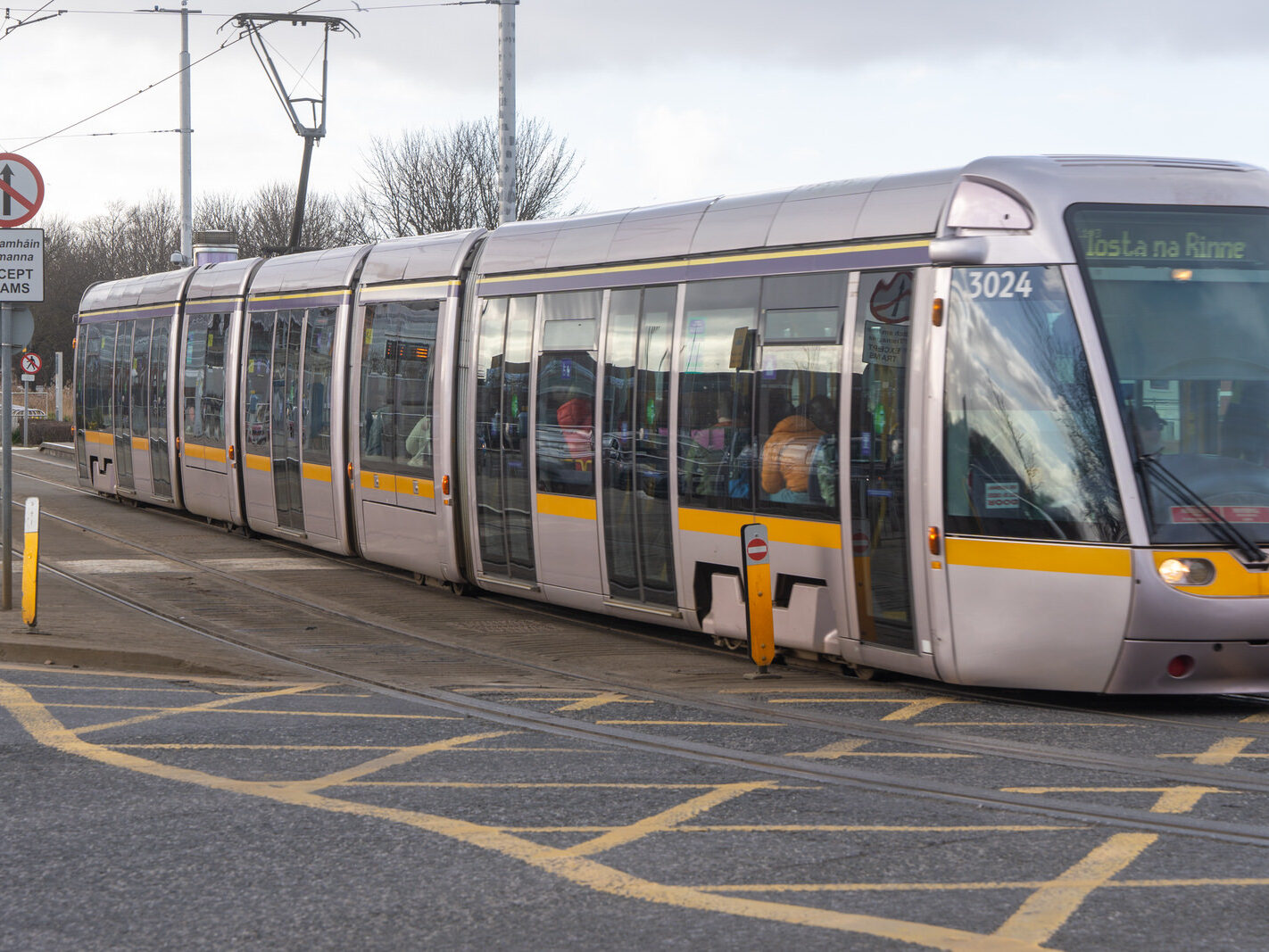
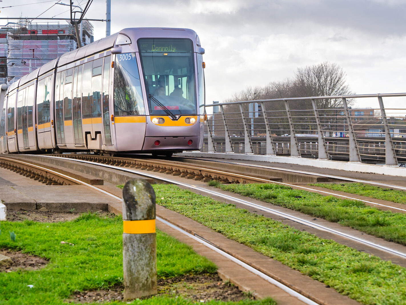
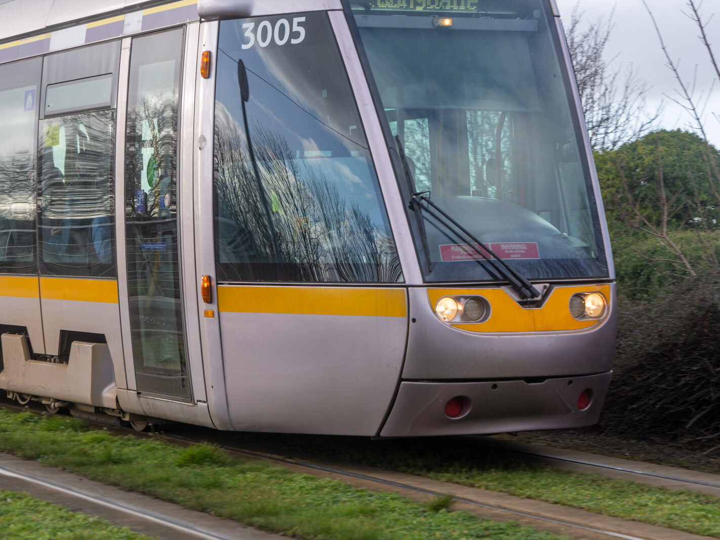
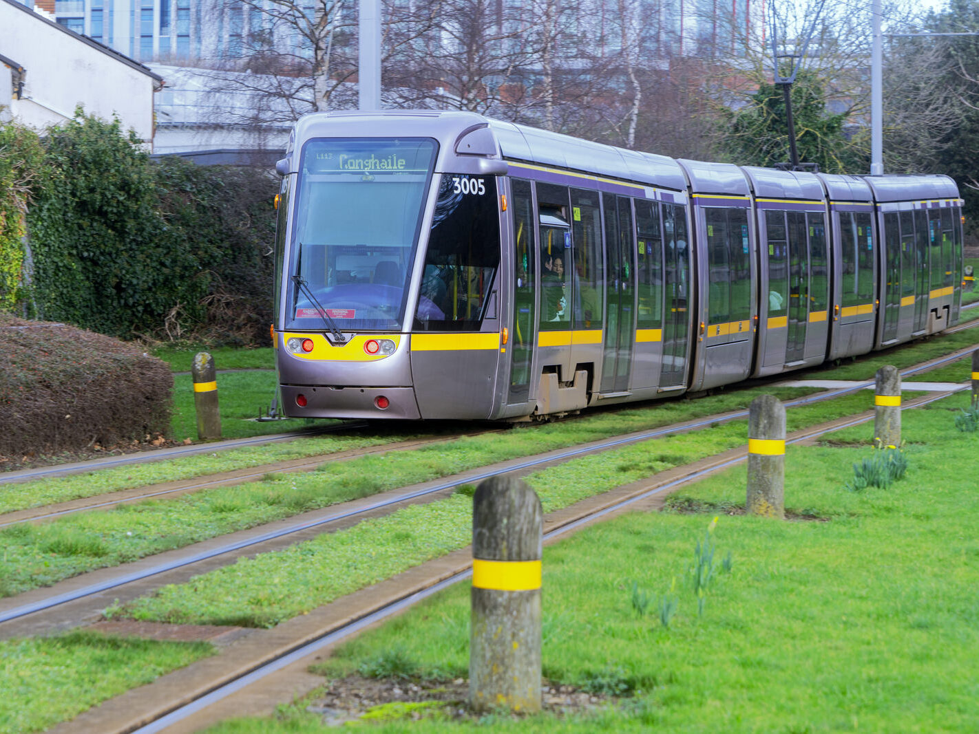
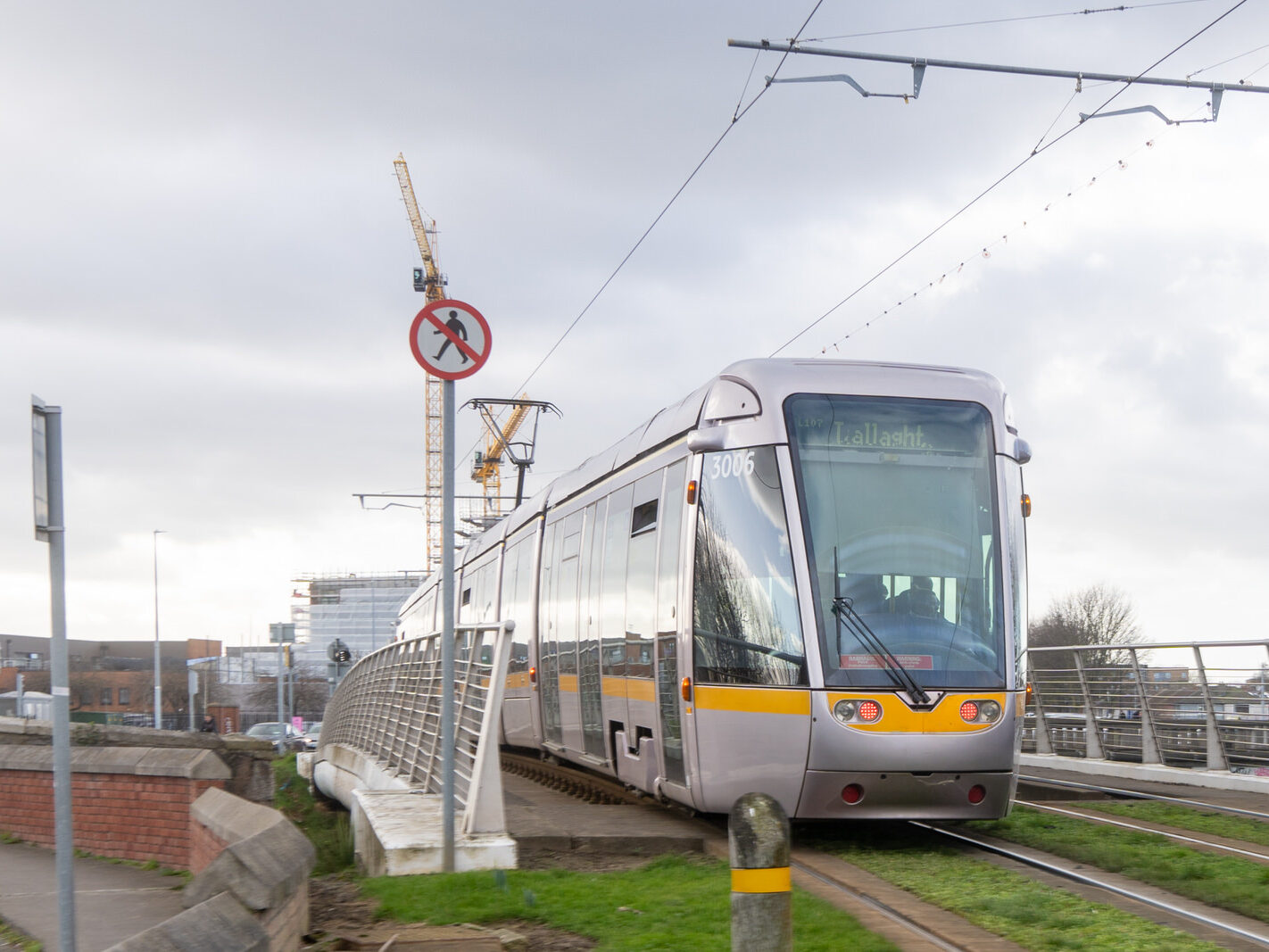
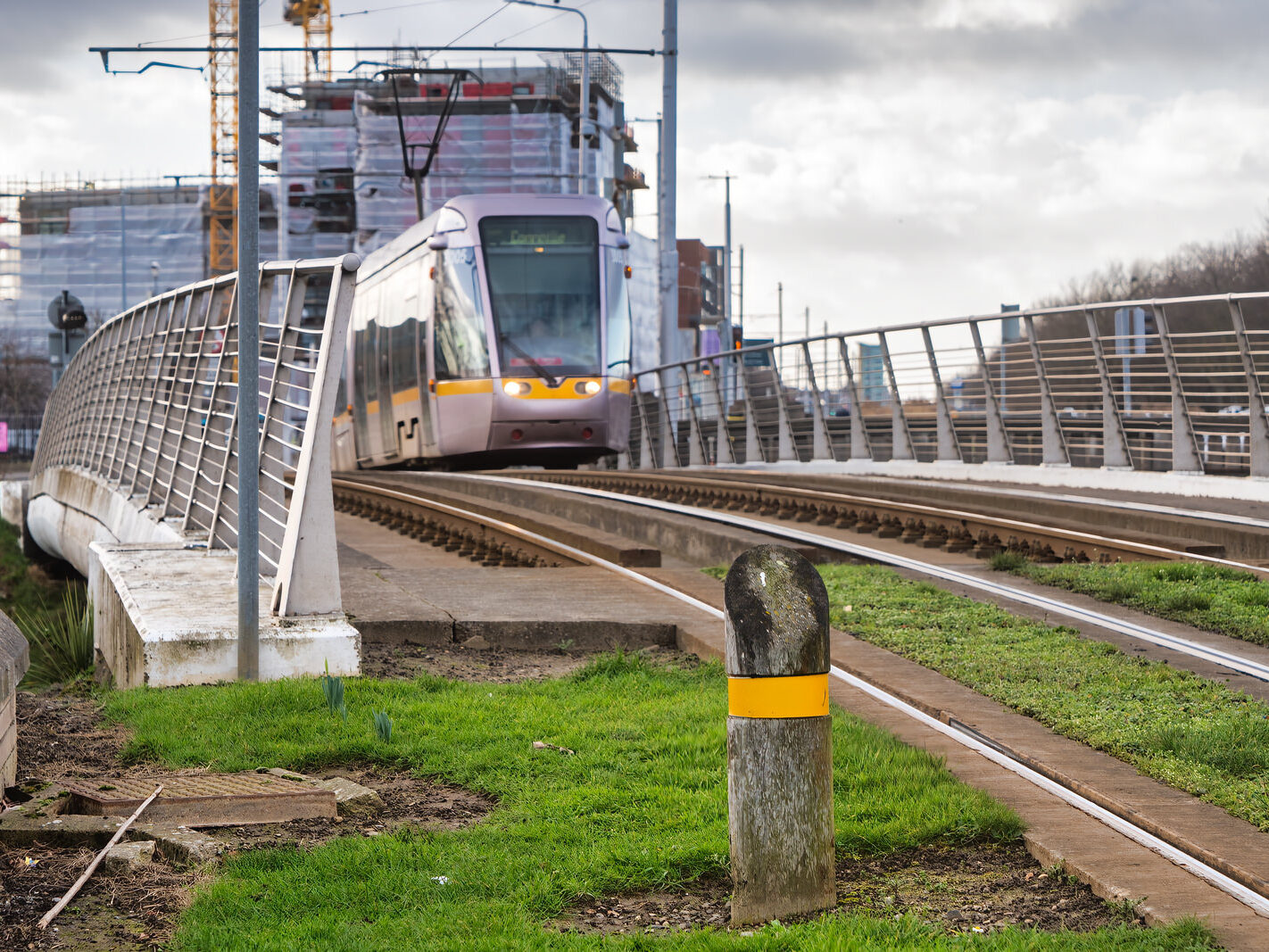
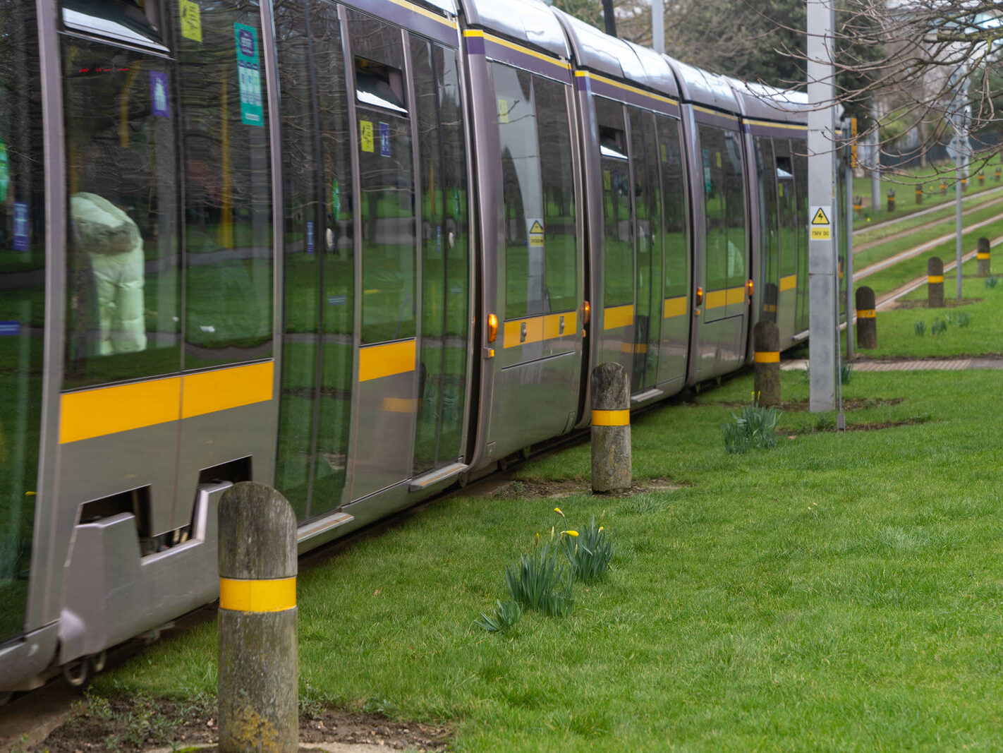
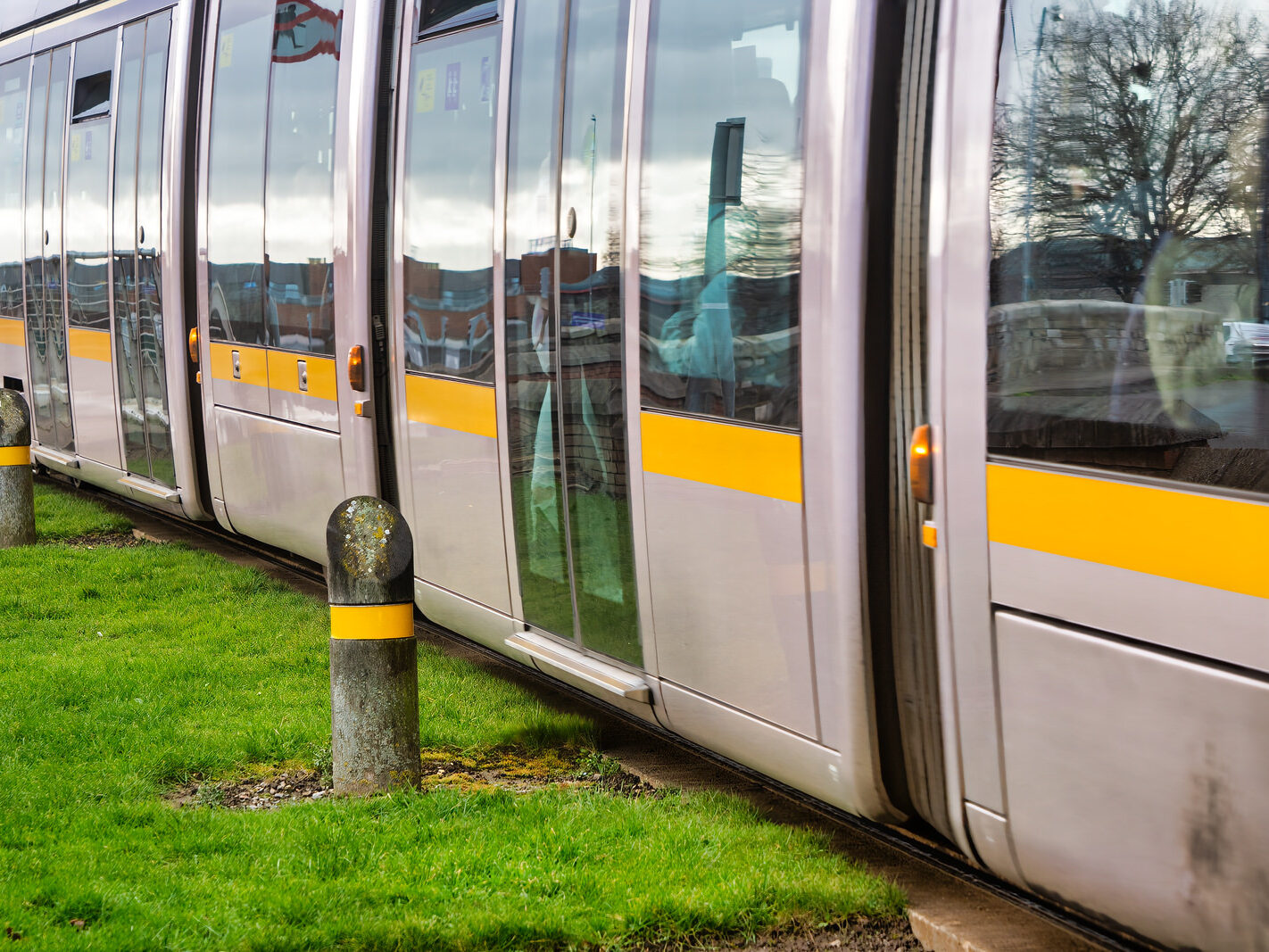
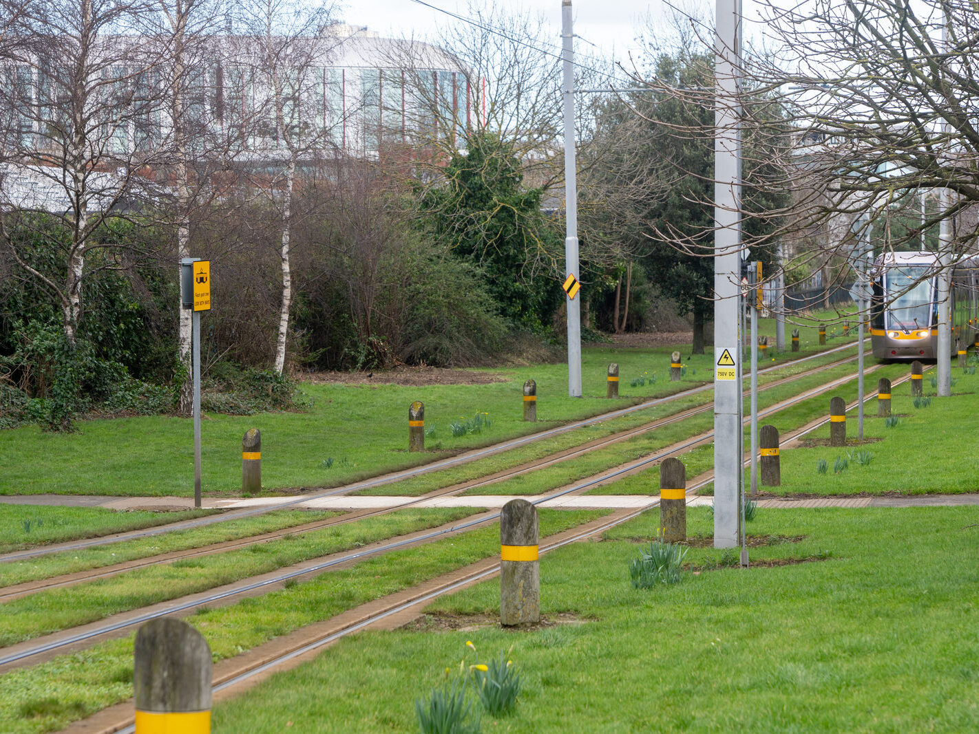
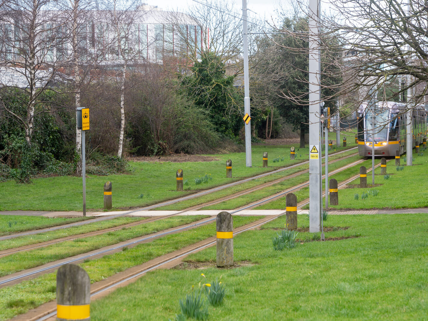
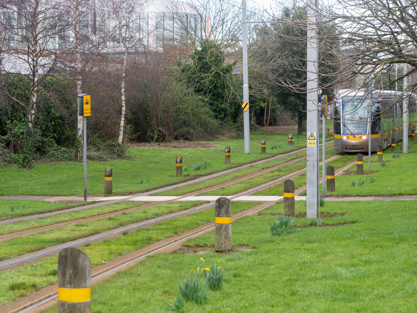
Amenities and Accessibility: Rialto is conveniently located just a short distance from Dublin’s city centre, making it easy for residents to access urban amenities. The area is well-served by public transportation, including several bus routes and the Luas red line, providing quick access to central locations.
Regeneration and Development: Rialto has experienced gradual gentrification without losing its original charm. This transformation has brought new businesses and improved housing options.
Rialto Luas Stop and the New Children’s Hospital:
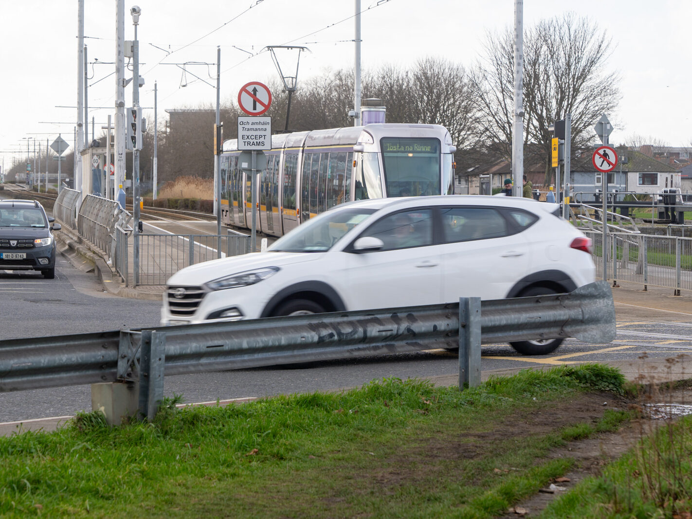
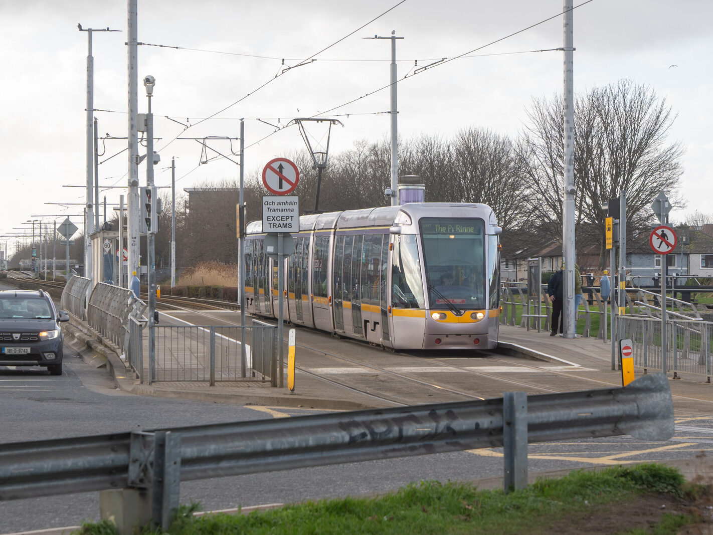
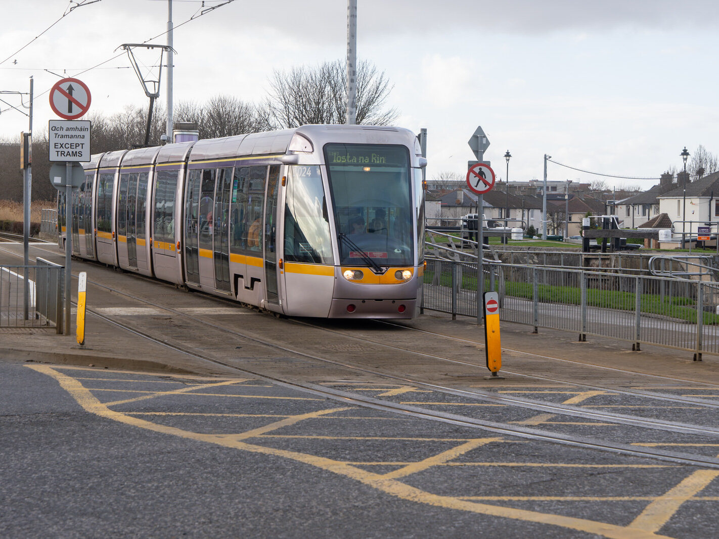
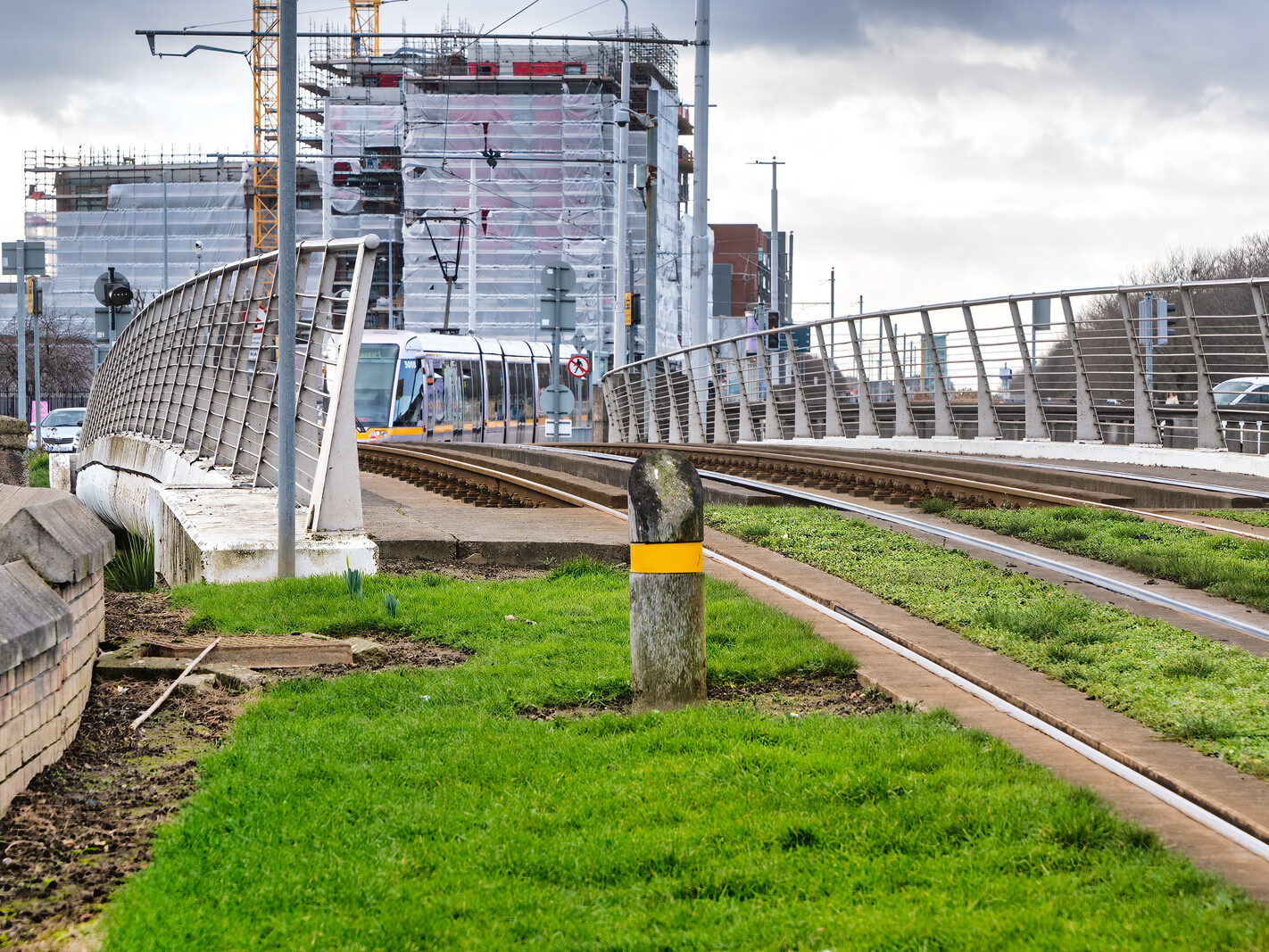
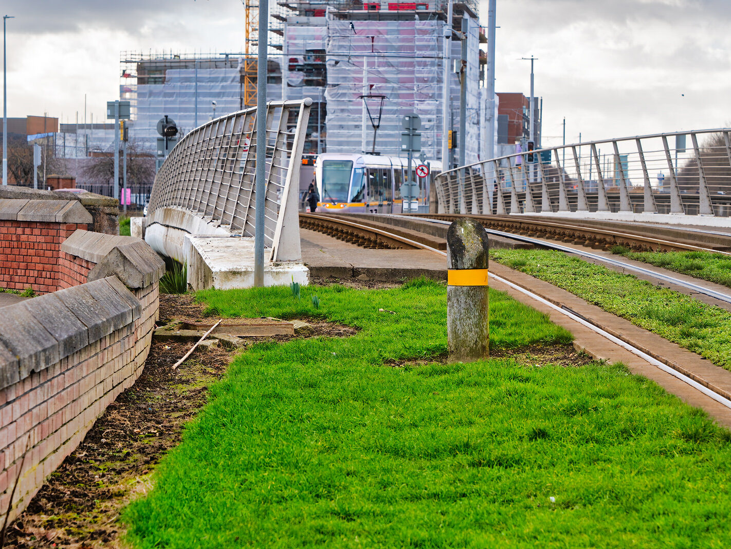
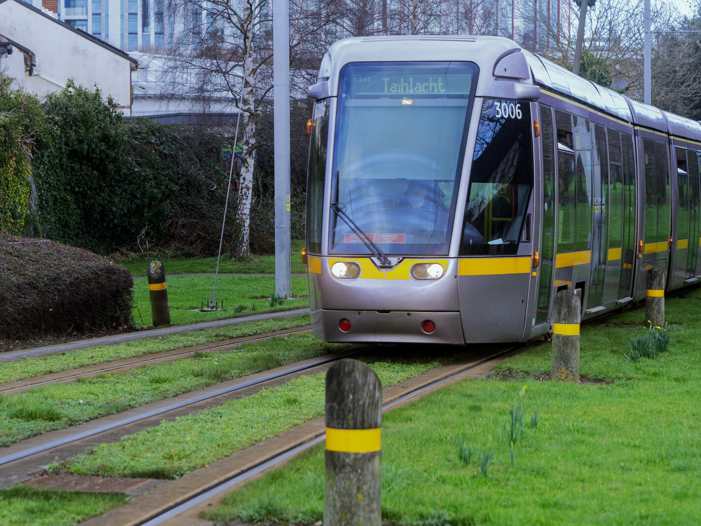
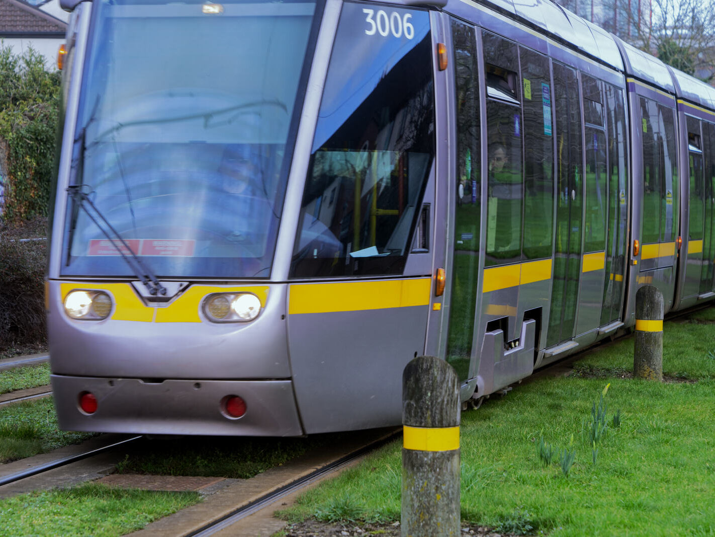
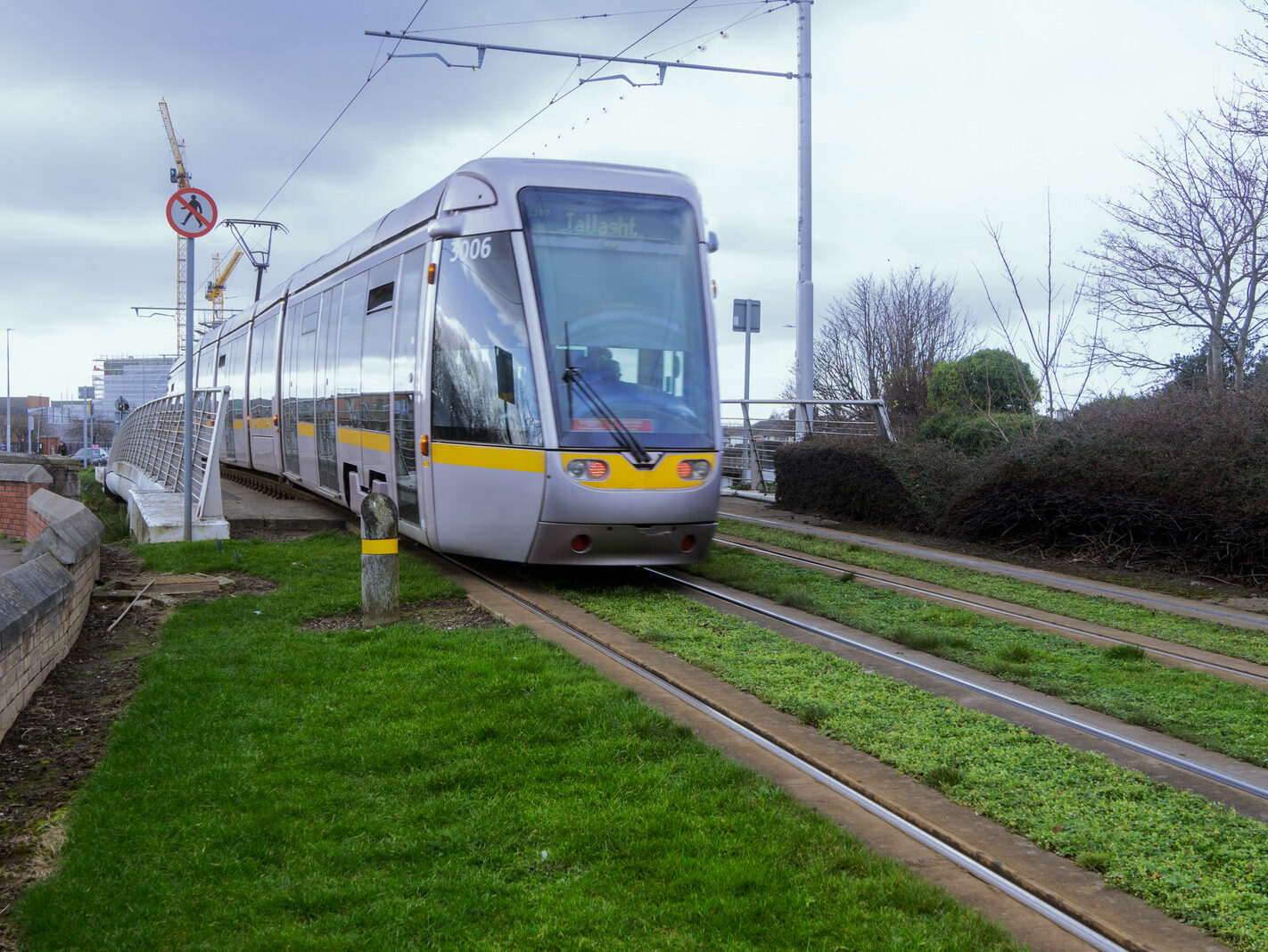
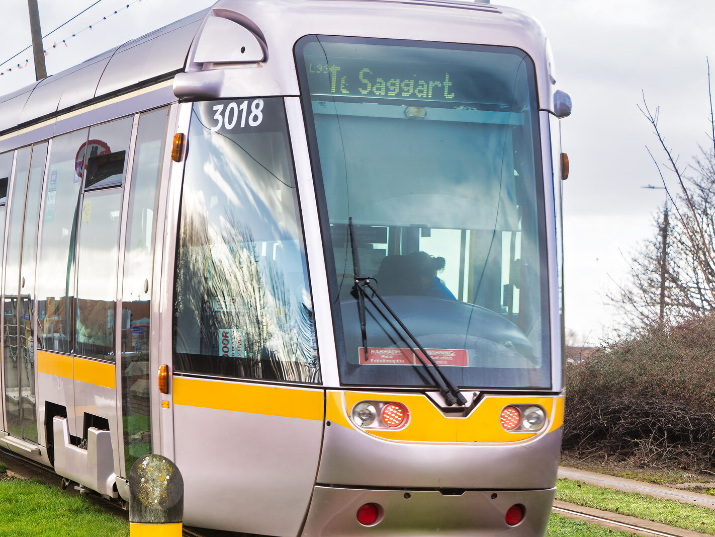
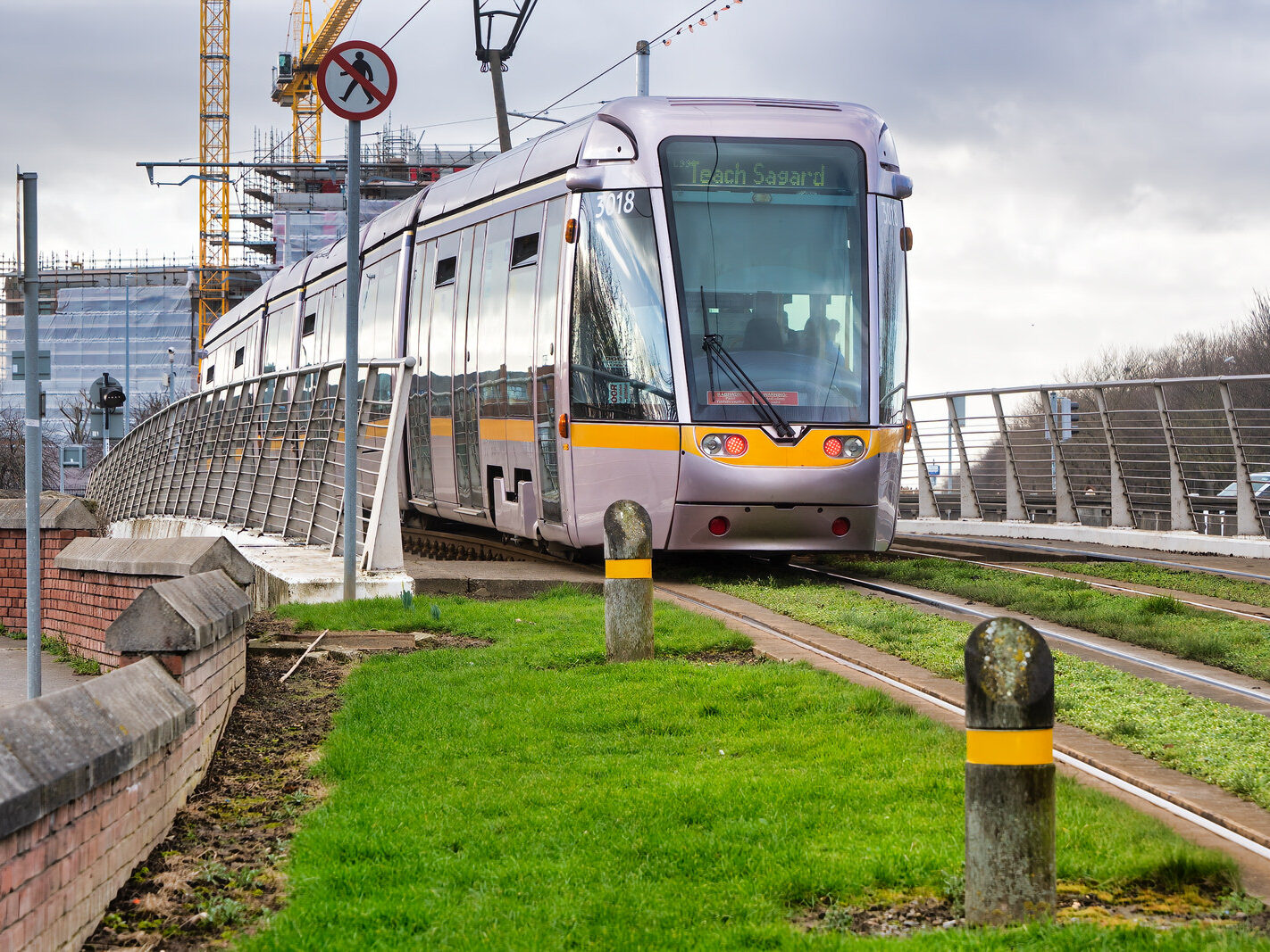
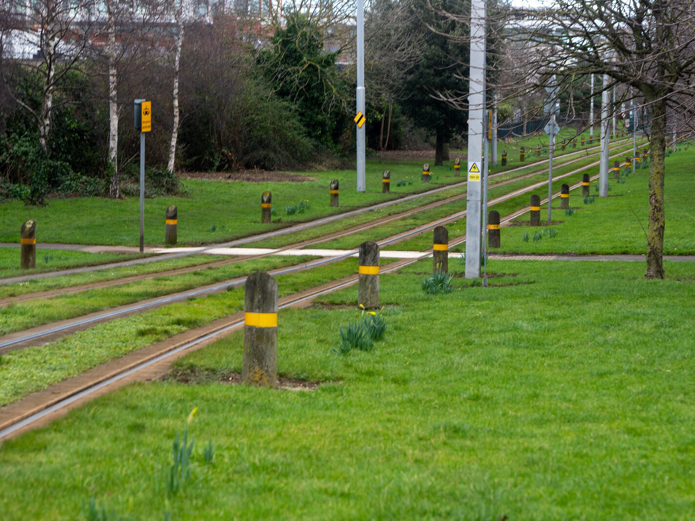
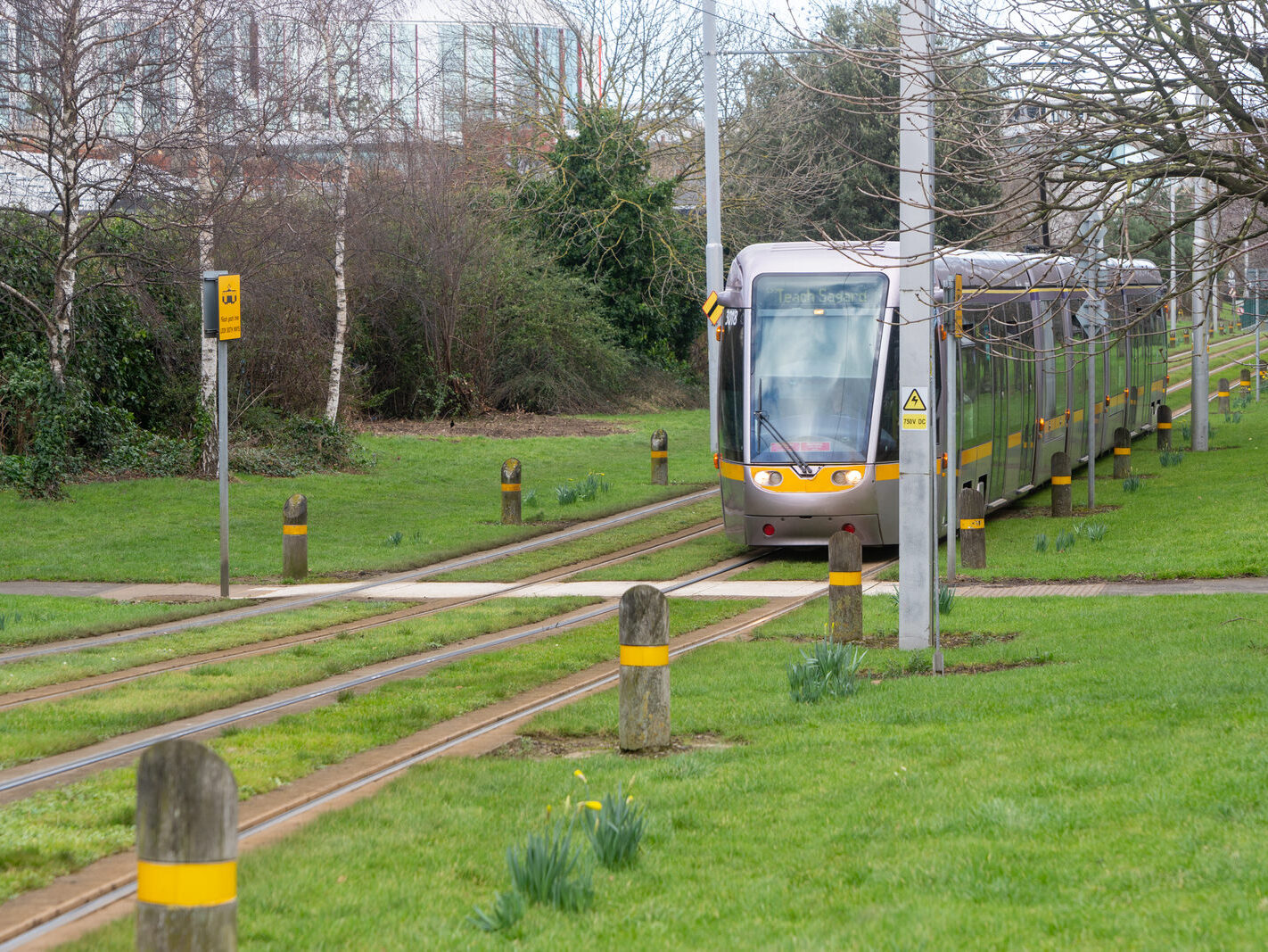
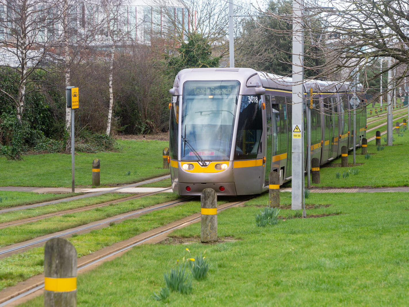
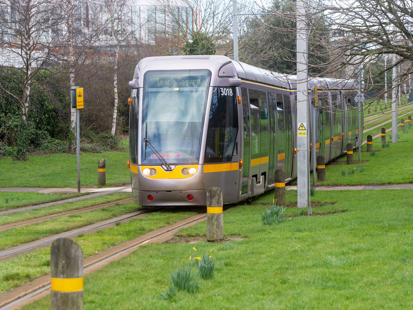
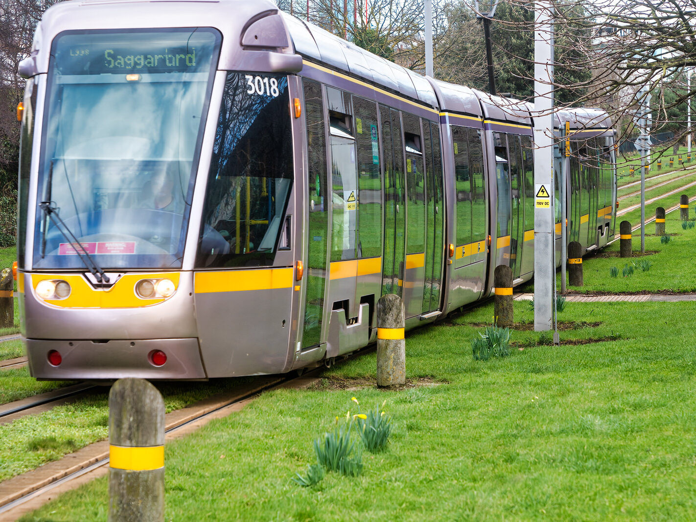
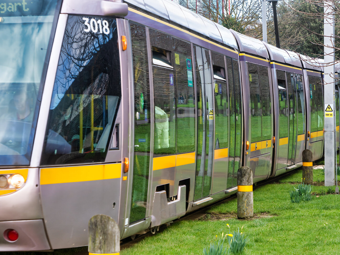
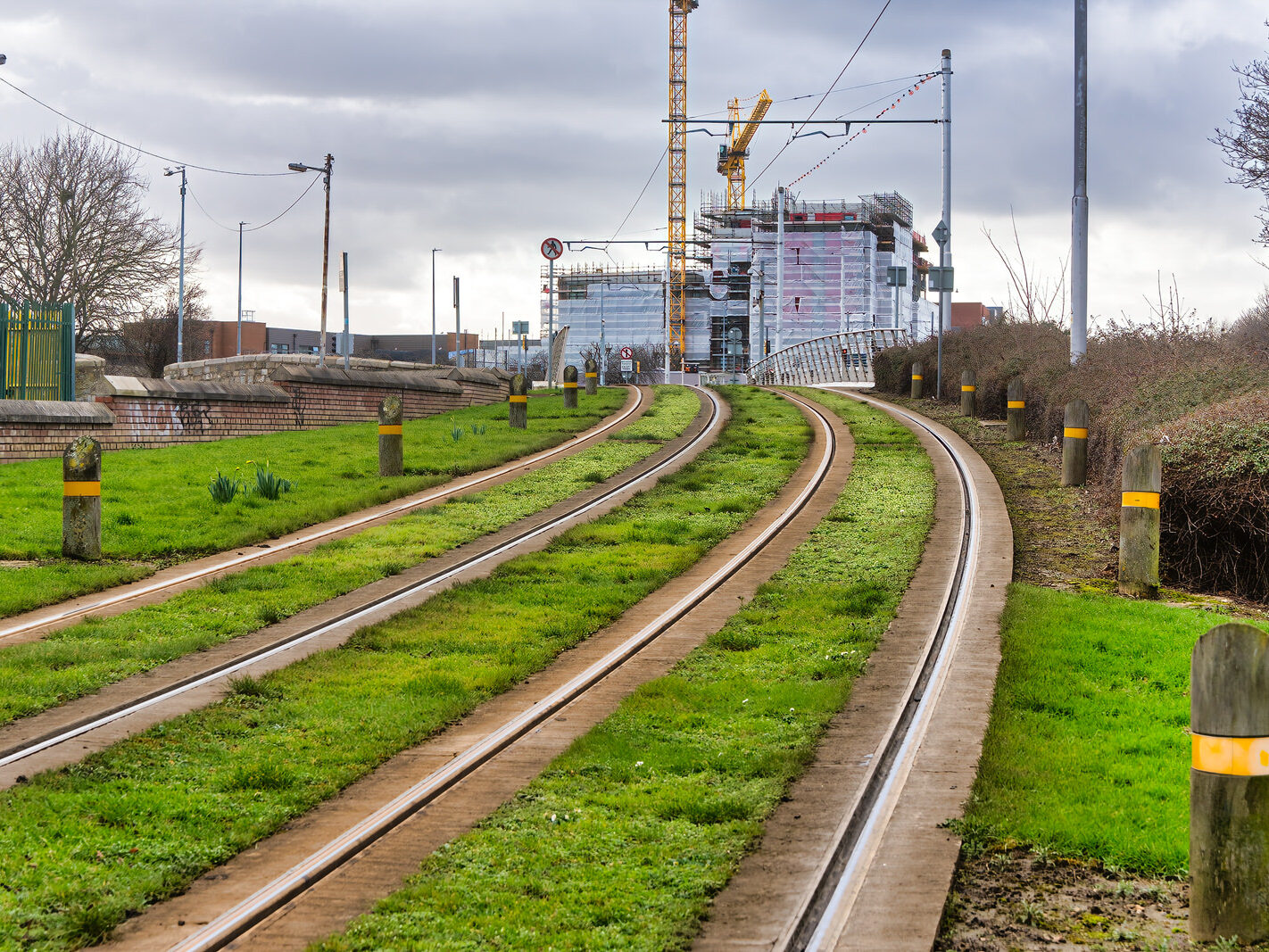
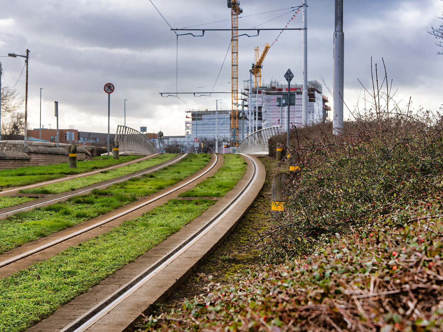
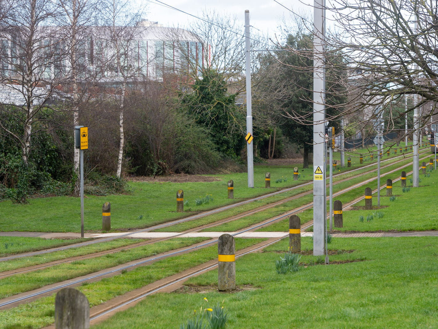
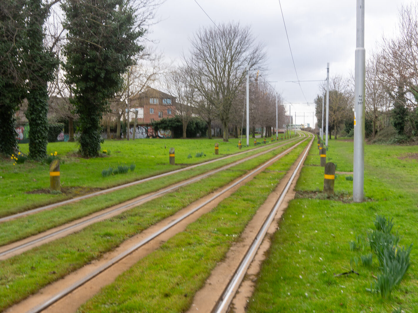
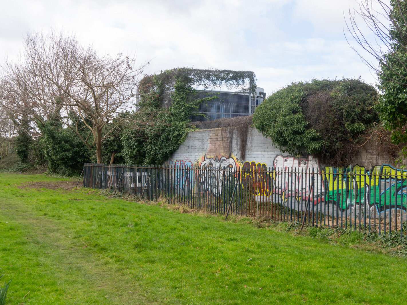
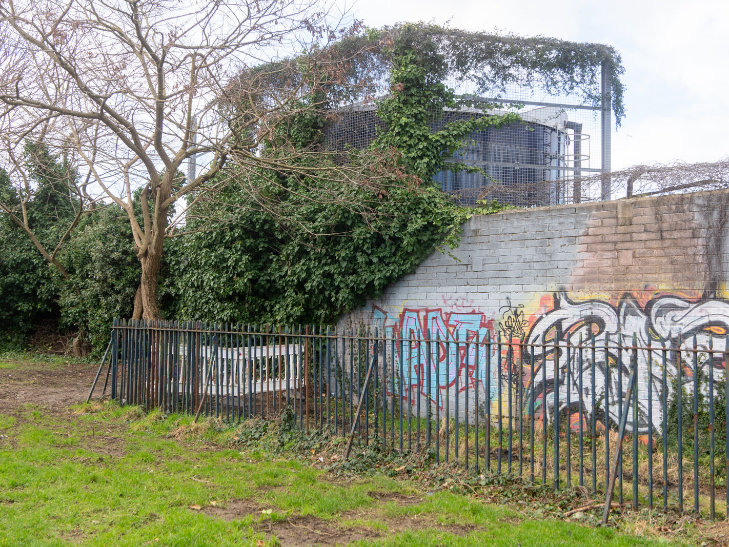
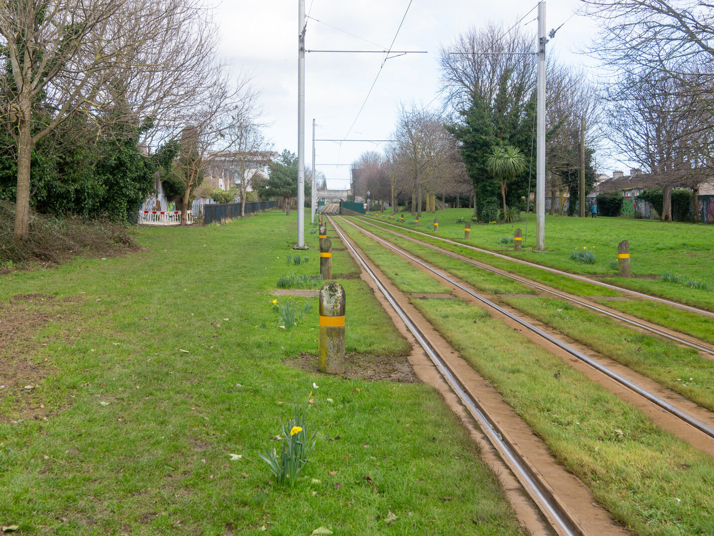
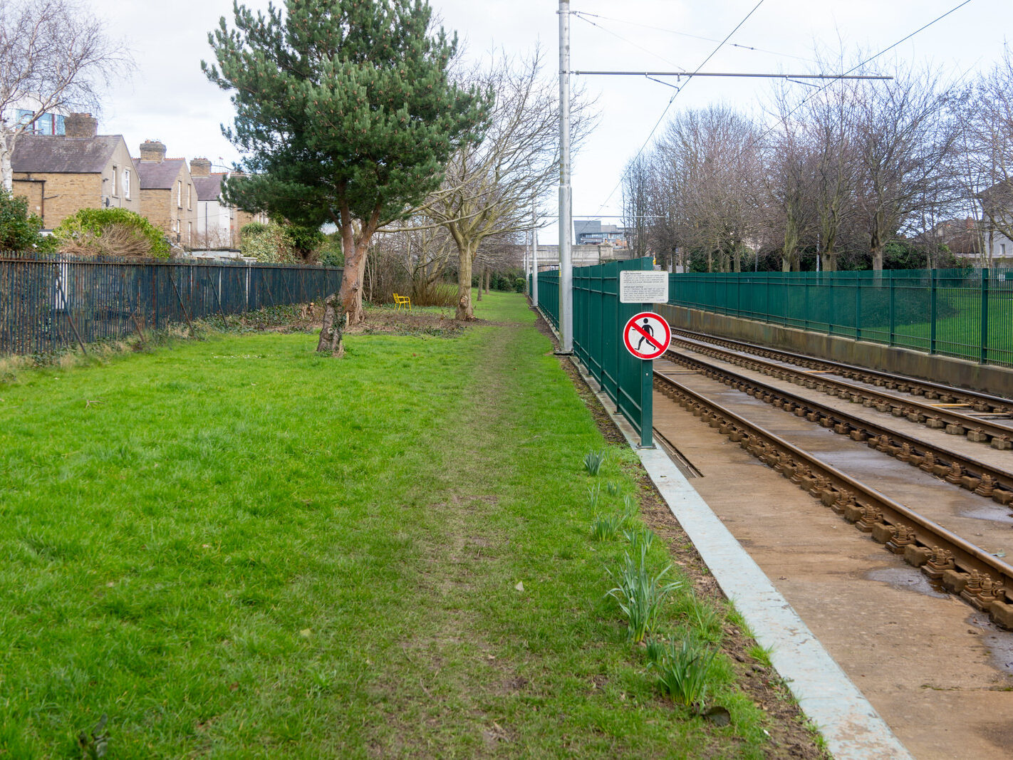
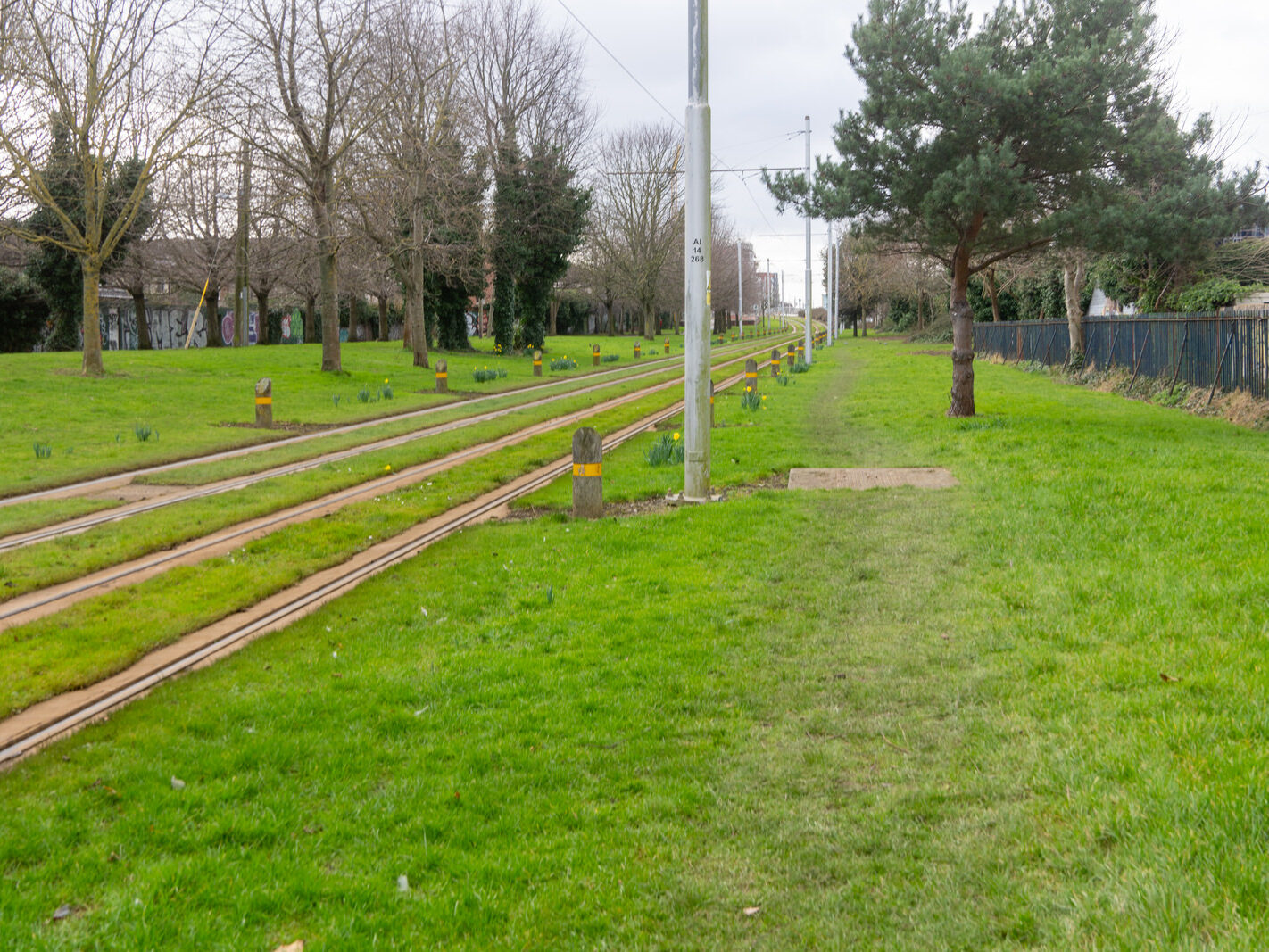
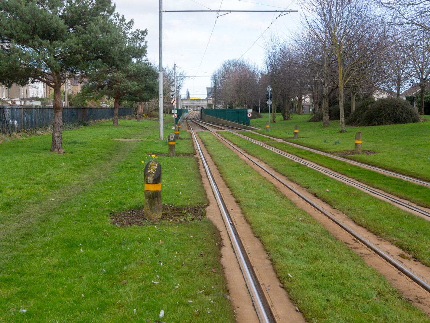
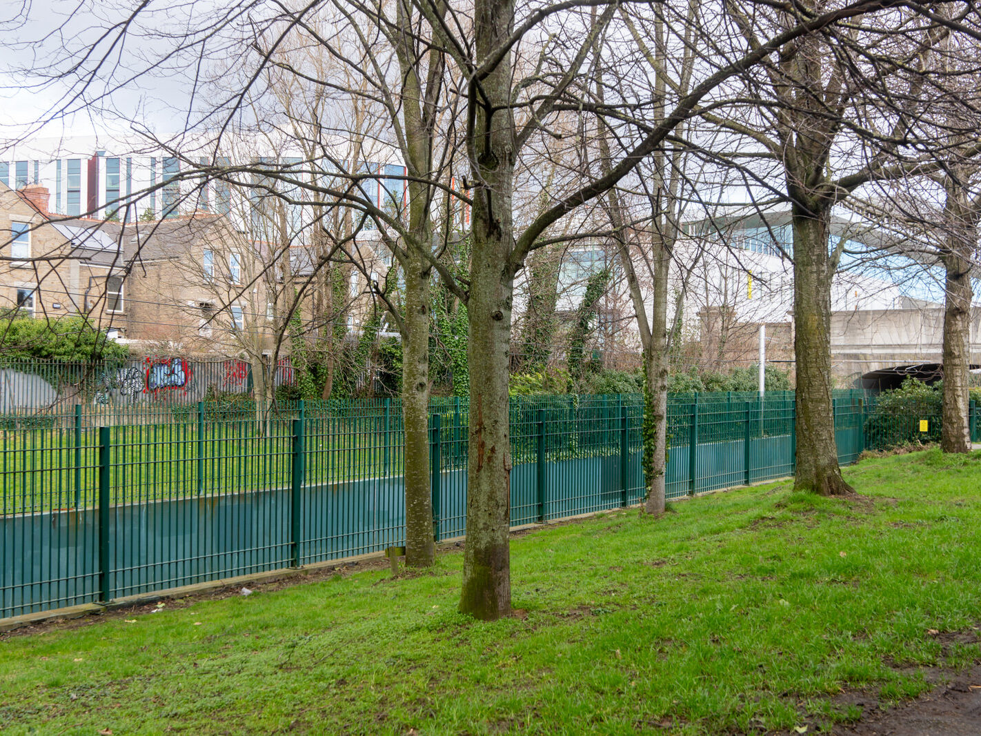
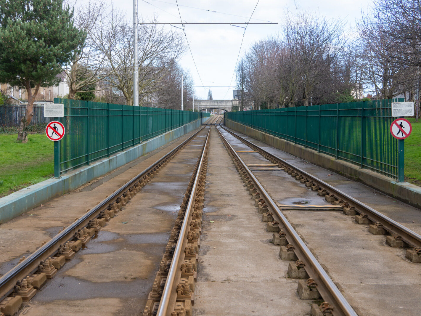
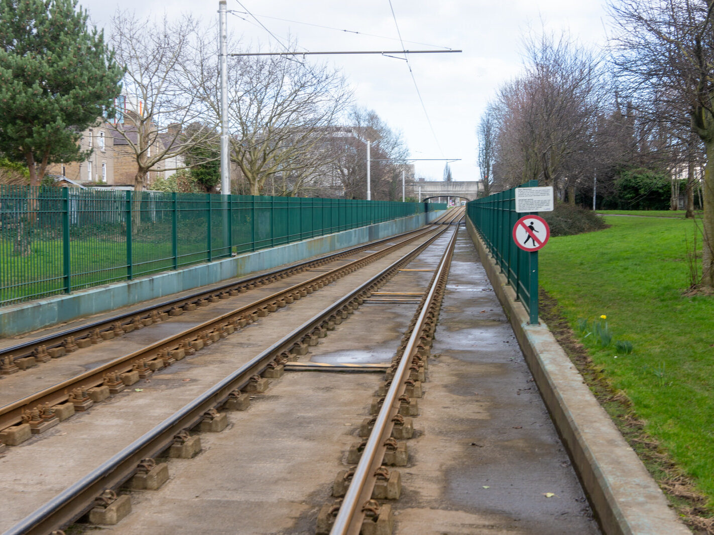
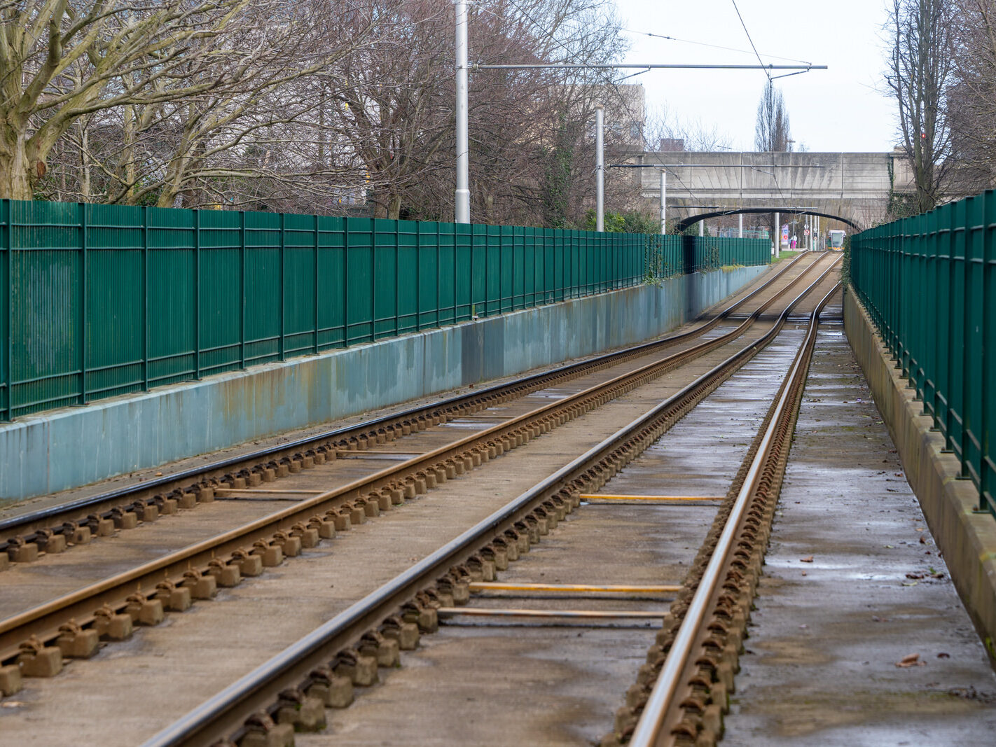
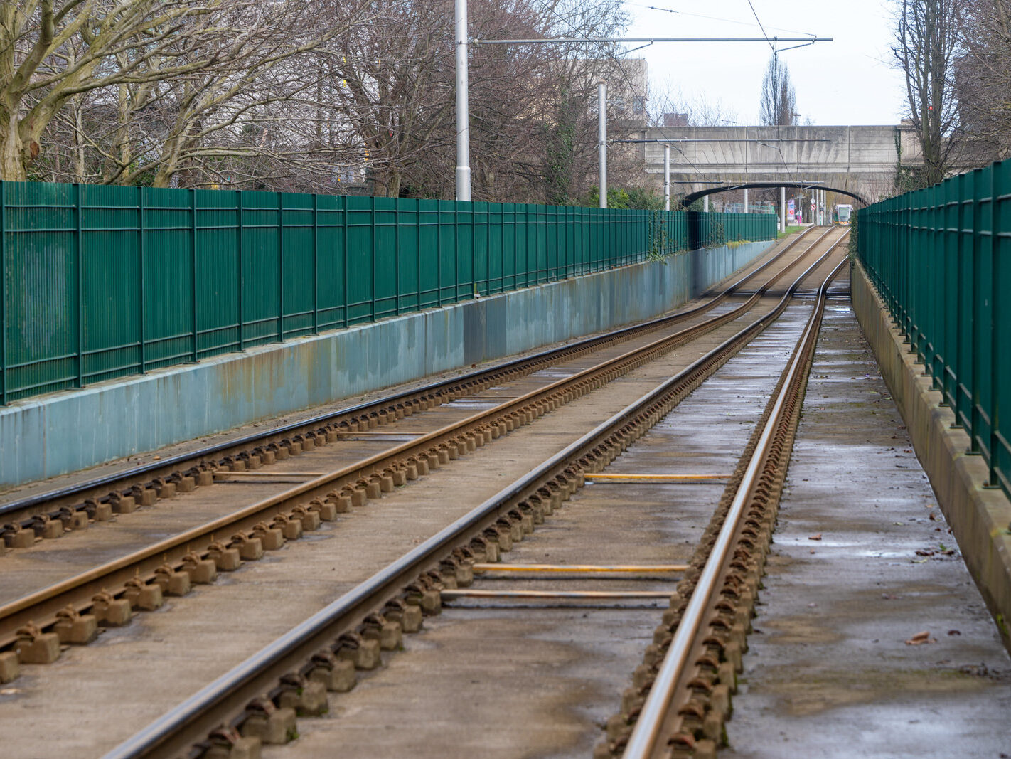
The Rialto Luas stop is a significant landmark in the area, providing convenient access to the city centre and surrounding areas. Its importance is set to be further amplified when it becomes the primary stop serving the new Children’s Hospital, due to open in 2026. This is expected to bring increased attention and activity to the area, with families and visitors from all over Ireland using the stop to access the hospital.

![THE WIND SHELTERS AND THE BANDSTAND ALONG CLONTARF PROMENADE [REMAIN AS A TRIBUTE TO HERBERT SIMMS]-246838-1](https://photonique.org/SouthOfTheRiverWordPress/wp-content/uploads/2025/01/THE-WIND-SHELTERS-AND-THE-BANDSTAND-ALONG-CLONTARF-PROMENADE-REMAIN-AS-A-TRIBUTE-TO-HERBERT-SIMMS-246838-1-1422x1067.jpg "THE WIND SHELTERS AND THE BANDSTAND ALONG CLONTARF PROMENADE [REMAIN AS A TRIBUTE TO HERBERT SIMMS]-246838-1")
![THE WIND SHELTERS AND THE BANDSTAND ALONG CLONTARF PROMENADE [REMAIN AS A TRIBUTE TO HERBERT SIMMS]-246839-1](https://photonique.org/SouthOfTheRiverWordPress/wp-content/uploads/2025/01/THE-WIND-SHELTERS-AND-THE-BANDSTAND-ALONG-CLONTARF-PROMENADE-REMAIN-AS-A-TRIBUTE-TO-HERBERT-SIMMS-246839-1-1422x1067.jpg "THE WIND SHELTERS AND THE BANDSTAND ALONG CLONTARF PROMENADE [REMAIN AS A TRIBUTE TO HERBERT SIMMS]-246839-1")
![THE WIND SHELTERS AND THE BANDSTAND ALONG CLONTARF PROMENADE [REMAIN AS A TRIBUTE TO HERBERT SIMMS]-246840-1](https://photonique.org/SouthOfTheRiverWordPress/wp-content/uploads/2025/01/THE-WIND-SHELTERS-AND-THE-BANDSTAND-ALONG-CLONTARF-PROMENADE-REMAIN-AS-A-TRIBUTE-TO-HERBERT-SIMMS-246840-1-1422x1067.jpg "THE WIND SHELTERS AND THE BANDSTAND ALONG CLONTARF PROMENADE [REMAIN AS A TRIBUTE TO HERBERT SIMMS]-246840-1")
![THE WIND SHELTERS AND THE BANDSTAND ALONG CLONTARF PROMENADE [REMAIN AS A TRIBUTE TO HERBERT SIMMS]-246841-1](https://photonique.org/SouthOfTheRiverWordPress/wp-content/uploads/2025/01/THE-WIND-SHELTERS-AND-THE-BANDSTAND-ALONG-CLONTARF-PROMENADE-REMAIN-AS-A-TRIBUTE-TO-HERBERT-SIMMS-246841-1-1422x1067.jpg "THE WIND SHELTERS AND THE BANDSTAND ALONG CLONTARF PROMENADE [REMAIN AS A TRIBUTE TO HERBERT SIMMS]-246841-1")
![THE WIND SHELTERS AND THE BANDSTAND ALONG CLONTARF PROMENADE [REMAIN AS A TRIBUTE TO HERBERT SIMMS]-246842-1](https://photonique.org/SouthOfTheRiverWordPress/wp-content/uploads/2025/01/THE-WIND-SHELTERS-AND-THE-BANDSTAND-ALONG-CLONTARF-PROMENADE-REMAIN-AS-A-TRIBUTE-TO-HERBERT-SIMMS-246842-1-1422x1067.jpg "THE WIND SHELTERS AND THE BANDSTAND ALONG CLONTARF PROMENADE [REMAIN AS A TRIBUTE TO HERBERT SIMMS]-246842-1")
![THE WIND SHELTERS AND THE BANDSTAND ALONG CLONTARF PROMENADE [REMAIN AS A TRIBUTE TO HERBERT SIMMS]-246831-1](https://photonique.org/SouthOfTheRiverWordPress/wp-content/uploads/2025/01/THE-WIND-SHELTERS-AND-THE-BANDSTAND-ALONG-CLONTARF-PROMENADE-REMAIN-AS-A-TRIBUTE-TO-HERBERT-SIMMS-246831-1-1422x1067.jpg "THE WIND SHELTERS AND THE BANDSTAND ALONG CLONTARF PROMENADE [REMAIN AS A TRIBUTE TO HERBERT SIMMS]-246831-1")
![THE WIND SHELTERS AND THE BANDSTAND ALONG CLONTARF PROMENADE [REMAIN AS A TRIBUTE TO HERBERT SIMMS]-246832-1](https://photonique.org/SouthOfTheRiverWordPress/wp-content/uploads/2025/01/THE-WIND-SHELTERS-AND-THE-BANDSTAND-ALONG-CLONTARF-PROMENADE-REMAIN-AS-A-TRIBUTE-TO-HERBERT-SIMMS-246832-1-1422x1067.jpg "THE WIND SHELTERS AND THE BANDSTAND ALONG CLONTARF PROMENADE [REMAIN AS A TRIBUTE TO HERBERT SIMMS]-246832-1")
![THE WIND SHELTERS AND THE BANDSTAND ALONG CLONTARF PROMENADE [REMAIN AS A TRIBUTE TO HERBERT SIMMS]-246833-1](https://photonique.org/SouthOfTheRiverWordPress/wp-content/uploads/2025/01/THE-WIND-SHELTERS-AND-THE-BANDSTAND-ALONG-CLONTARF-PROMENADE-REMAIN-AS-A-TRIBUTE-TO-HERBERT-SIMMS-246833-1-1422x1067.jpg "THE WIND SHELTERS AND THE BANDSTAND ALONG CLONTARF PROMENADE [REMAIN AS A TRIBUTE TO HERBERT SIMMS]-246833-1")
![THE WIND SHELTERS AND THE BANDSTAND ALONG CLONTARF PROMENADE [REMAIN AS A TRIBUTE TO HERBERT SIMMS]-246834-1](https://photonique.org/SouthOfTheRiverWordPress/wp-content/uploads/2025/01/THE-WIND-SHELTERS-AND-THE-BANDSTAND-ALONG-CLONTARF-PROMENADE-REMAIN-AS-A-TRIBUTE-TO-HERBERT-SIMMS-246834-1-1422x1067.jpg "THE WIND SHELTERS AND THE BANDSTAND ALONG CLONTARF PROMENADE [REMAIN AS A TRIBUTE TO HERBERT SIMMS]-246834-1")
![THE WIND SHELTERS AND THE BANDSTAND ALONG CLONTARF PROMENADE [REMAIN AS A TRIBUTE TO HERBERT SIMMS]-246835-1](https://photonique.org/SouthOfTheRiverWordPress/wp-content/uploads/2025/01/THE-WIND-SHELTERS-AND-THE-BANDSTAND-ALONG-CLONTARF-PROMENADE-REMAIN-AS-A-TRIBUTE-TO-HERBERT-SIMMS-246835-1-1422x1067.jpg "THE WIND SHELTERS AND THE BANDSTAND ALONG CLONTARF PROMENADE [REMAIN AS A TRIBUTE TO HERBERT SIMMS]-246835-1")
![THE WIND SHELTERS AND THE BANDSTAND ALONG CLONTARF PROMENADE [REMAIN AS A TRIBUTE TO HERBERT SIMMS]-246836-1](https://photonique.org/SouthOfTheRiverWordPress/wp-content/uploads/2025/01/THE-WIND-SHELTERS-AND-THE-BANDSTAND-ALONG-CLONTARF-PROMENADE-REMAIN-AS-A-TRIBUTE-TO-HERBERT-SIMMS-246836-1-1422x1067.jpg "THE WIND SHELTERS AND THE BANDSTAND ALONG CLONTARF PROMENADE [REMAIN AS A TRIBUTE TO HERBERT SIMMS]-246836-1")
![THE WIND SHELTERS AND THE BANDSTAND ALONG CLONTARF PROMENADE [REMAIN AS A TRIBUTE TO HERBERT SIMMS]-246837-1](https://photonique.org/SouthOfTheRiverWordPress/wp-content/uploads/2025/01/THE-WIND-SHELTERS-AND-THE-BANDSTAND-ALONG-CLONTARF-PROMENADE-REMAIN-AS-A-TRIBUTE-TO-HERBERT-SIMMS-246837-1-1422x1067.jpg "THE WIND SHELTERS AND THE BANDSTAND ALONG CLONTARF PROMENADE [REMAIN AS A TRIBUTE TO HERBERT SIMMS]-246837-1")
![THE WIND SHELTERS AND THE BANDSTAND ALONG CLONTARF PROMENADE [REMAIN AS A TRIBUTE TO HERBERT SIMMS]-246825-1](https://photonique.org/SouthOfTheRiverWordPress/wp-content/uploads/2025/01/THE-WIND-SHELTERS-AND-THE-BANDSTAND-ALONG-CLONTARF-PROMENADE-REMAIN-AS-A-TRIBUTE-TO-HERBERT-SIMMS-246825-1-1422x1067.jpg "THE WIND SHELTERS AND THE BANDSTAND ALONG CLONTARF PROMENADE [REMAIN AS A TRIBUTE TO HERBERT SIMMS]-246825-1")
![THE WIND SHELTERS AND THE BANDSTAND ALONG CLONTARF PROMENADE [REMAIN AS A TRIBUTE TO HERBERT SIMMS]-246826-1](https://photonique.org/SouthOfTheRiverWordPress/wp-content/uploads/2025/01/THE-WIND-SHELTERS-AND-THE-BANDSTAND-ALONG-CLONTARF-PROMENADE-REMAIN-AS-A-TRIBUTE-TO-HERBERT-SIMMS-246826-1-1422x1067.jpg "THE WIND SHELTERS AND THE BANDSTAND ALONG CLONTARF PROMENADE [REMAIN AS A TRIBUTE TO HERBERT SIMMS]-246826-1")
![THE WIND SHELTERS AND THE BANDSTAND ALONG CLONTARF PROMENADE [REMAIN AS A TRIBUTE TO HERBERT SIMMS]-246827-1](https://photonique.org/SouthOfTheRiverWordPress/wp-content/uploads/2025/01/THE-WIND-SHELTERS-AND-THE-BANDSTAND-ALONG-CLONTARF-PROMENADE-REMAIN-AS-A-TRIBUTE-TO-HERBERT-SIMMS-246827-1-1422x1067.jpg "THE WIND SHELTERS AND THE BANDSTAND ALONG CLONTARF PROMENADE [REMAIN AS A TRIBUTE TO HERBERT SIMMS]-246827-1")
![THE WIND SHELTERS AND THE BANDSTAND ALONG CLONTARF PROMENADE [REMAIN AS A TRIBUTE TO HERBERT SIMMS]-246828-1](https://photonique.org/SouthOfTheRiverWordPress/wp-content/uploads/2025/01/THE-WIND-SHELTERS-AND-THE-BANDSTAND-ALONG-CLONTARF-PROMENADE-REMAIN-AS-A-TRIBUTE-TO-HERBERT-SIMMS-246828-1-1422x1067.jpg "THE WIND SHELTERS AND THE BANDSTAND ALONG CLONTARF PROMENADE [REMAIN AS A TRIBUTE TO HERBERT SIMMS]-246828-1")
![THE WIND SHELTERS AND THE BANDSTAND ALONG CLONTARF PROMENADE [REMAIN AS A TRIBUTE TO HERBERT SIMMS]-246829-1](https://photonique.org/SouthOfTheRiverWordPress/wp-content/uploads/2025/01/THE-WIND-SHELTERS-AND-THE-BANDSTAND-ALONG-CLONTARF-PROMENADE-REMAIN-AS-A-TRIBUTE-TO-HERBERT-SIMMS-246829-1-1422x1067.jpg "THE WIND SHELTERS AND THE BANDSTAND ALONG CLONTARF PROMENADE [REMAIN AS A TRIBUTE TO HERBERT SIMMS]-246829-1")
![THE WIND SHELTERS AND THE BANDSTAND ALONG CLONTARF PROMENADE [REMAIN AS A TRIBUTE TO HERBERT SIMMS]-246830-1](https://photonique.org/SouthOfTheRiverWordPress/wp-content/uploads/2025/01/THE-WIND-SHELTERS-AND-THE-BANDSTAND-ALONG-CLONTARF-PROMENADE-REMAIN-AS-A-TRIBUTE-TO-HERBERT-SIMMS-246830-1-1422x1067.jpg "THE WIND SHELTERS AND THE BANDSTAND ALONG CLONTARF PROMENADE [REMAIN AS A TRIBUTE TO HERBERT SIMMS]-246830-1")
![THE WIND SHELTERS AND THE BANDSTAND ALONG CLONTARF PROMENADE [REMAIN AS A TRIBUTE TO HERBERT SIMMS]-246821-1](https://photonique.org/SouthOfTheRiverWordPress/wp-content/uploads/2025/01/THE-WIND-SHELTERS-AND-THE-BANDSTAND-ALONG-CLONTARF-PROMENADE-REMAIN-AS-A-TRIBUTE-TO-HERBERT-SIMMS-246821-1-1422x1067.jpg "THE WIND SHELTERS AND THE BANDSTAND ALONG CLONTARF PROMENADE [REMAIN AS A TRIBUTE TO HERBERT SIMMS]-246821-1")
![THE WIND SHELTERS AND THE BANDSTAND ALONG CLONTARF PROMENADE [REMAIN AS A TRIBUTE TO HERBERT SIMMS]-246824-1](https://photonique.org/SouthOfTheRiverWordPress/wp-content/uploads/2025/01/THE-WIND-SHELTERS-AND-THE-BANDSTAND-ALONG-CLONTARF-PROMENADE-REMAIN-AS-A-TRIBUTE-TO-HERBERT-SIMMS-246824-1-1422x1067.jpg "THE WIND SHELTERS AND THE BANDSTAND ALONG CLONTARF PROMENADE [REMAIN AS A TRIBUTE TO HERBERT SIMMS]-246824-1")
![THE WIND SHELTERS AND THE BANDSTAND ALONG CLONTARF PROMENADE [REMAIN AS A TRIBUTE TO HERBERT SIMMS]-246822-1](https://photonique.org/SouthOfTheRiverWordPress/wp-content/uploads/2025/01/THE-WIND-SHELTERS-AND-THE-BANDSTAND-ALONG-CLONTARF-PROMENADE-REMAIN-AS-A-TRIBUTE-TO-HERBERT-SIMMS-246822-1-1422x1067.jpg "THE WIND SHELTERS AND THE BANDSTAND ALONG CLONTARF PROMENADE [REMAIN AS A TRIBUTE TO HERBERT SIMMS]-246822-1")
![THE WIND SHELTERS AND THE BANDSTAND ALONG CLONTARF PROMENADE [REMAIN AS A TRIBUTE TO HERBERT SIMMS]-246823-1](https://photonique.org/SouthOfTheRiverWordPress/wp-content/uploads/2025/01/THE-WIND-SHELTERS-AND-THE-BANDSTAND-ALONG-CLONTARF-PROMENADE-REMAIN-AS-A-TRIBUTE-TO-HERBERT-SIMMS-246823-1-1422x1067.jpg "THE WIND SHELTERS AND THE BANDSTAND ALONG CLONTARF PROMENADE [REMAIN AS A TRIBUTE TO HERBERT SIMMS]-246823-1")
![CUFFE STREET [ON A REALLY WET DAY]-244002-1](https://photonique.org/SouthOfTheRiverWordPress/wp-content/uploads/2024/11/CUFFE-STREET-ON-A-REALLY-WET-DAY-244002-1.jpg "CUFFE STREET [ON A REALLY WET DAY]-244002-1")
![CUFFE STREET [ON A REALLY WET DAY]-243998-1](https://photonique.org/SouthOfTheRiverWordPress/wp-content/uploads/2024/11/CUFFE-STREET-ON-A-REALLY-WET-DAY-243998-1.jpg "CUFFE STREET [ON A REALLY WET DAY]-243998-1")
![CUFFE STREET [ON A REALLY WET DAY]-243999-1](https://photonique.org/SouthOfTheRiverWordPress/wp-content/uploads/2024/11/CUFFE-STREET-ON-A-REALLY-WET-DAY-243999-1.jpg "CUFFE STREET [ON A REALLY WET DAY]-243999-1")
![CUFFE STREET [ON A REALLY WET DAY]-244000-1](https://photonique.org/SouthOfTheRiverWordPress/wp-content/uploads/2024/11/CUFFE-STREET-ON-A-REALLY-WET-DAY-244000-1.jpg "CUFFE STREET [ON A REALLY WET DAY]-244000-1")
![CUFFE STREET [ON A REALLY WET DAY]-244001-1](https://photonique.org/SouthOfTheRiverWordPress/wp-content/uploads/2024/11/CUFFE-STREET-ON-A-REALLY-WET-DAY-244001-1.jpg "CUFFE STREET [ON A REALLY WET DAY]-244001-1")
![SHIP STREET GATE AREA INSIDE THE WALLS OF DUBLIN CASTLE [MUCH OF THIS STREET IS PARALLEL TO GREAT SHIP STREET]-243993-1](https://photonique.org/SouthOfTheRiverWordPress/wp-content/uploads/2024/11/SHIP-STREET-GATE-AREA-INSIDE-THE-WALLS-OF-DUBLIN-CASTLE-MUCH-OF-THIS-STREET-IS-PARALLEL-TO-GREAT-SHIP-STREET-243993-1.jpg "SHIP STREET GATE AREA INSIDE THE WALLS OF DUBLIN CASTLE [MUCH OF THIS STREET IS PARALLEL TO GREAT SHIP STREET]-243993-1")
![SHIP STREET GATE AREA INSIDE THE WALLS OF DUBLIN CASTLE [MUCH OF THIS STREET IS PARALLEL TO GREAT SHIP STREET]-243994-1](https://photonique.org/SouthOfTheRiverWordPress/wp-content/uploads/2024/11/SHIP-STREET-GATE-AREA-INSIDE-THE-WALLS-OF-DUBLIN-CASTLE-MUCH-OF-THIS-STREET-IS-PARALLEL-TO-GREAT-SHIP-STREET-243994-1.jpg "SHIP STREET GATE AREA INSIDE THE WALLS OF DUBLIN CASTLE [MUCH OF THIS STREET IS PARALLEL TO GREAT SHIP STREET]-243994-1")
![SHIP STREET GATE AREA INSIDE THE WALLS OF DUBLIN CASTLE [MUCH OF THIS STREET IS PARALLEL TO GREAT SHIP STREET]-243995-1](https://photonique.org/SouthOfTheRiverWordPress/wp-content/uploads/2024/11/SHIP-STREET-GATE-AREA-INSIDE-THE-WALLS-OF-DUBLIN-CASTLE-MUCH-OF-THIS-STREET-IS-PARALLEL-TO-GREAT-SHIP-STREET-243995-1.jpg "SHIP STREET GATE AREA INSIDE THE WALLS OF DUBLIN CASTLE [MUCH OF THIS STREET IS PARALLEL TO GREAT SHIP STREET]-243995-1")
![SHIP STREET GATE AREA INSIDE THE WALLS OF DUBLIN CASTLE [MUCH OF THIS STREET IS PARALLEL TO GREAT SHIP STREET]-243996-1](https://photonique.org/SouthOfTheRiverWordPress/wp-content/uploads/2024/11/SHIP-STREET-GATE-AREA-INSIDE-THE-WALLS-OF-DUBLIN-CASTLE-MUCH-OF-THIS-STREET-IS-PARALLEL-TO-GREAT-SHIP-STREET-243996-1.jpg "SHIP STREET GATE AREA INSIDE THE WALLS OF DUBLIN CASTLE [MUCH OF THIS STREET IS PARALLEL TO GREAT SHIP STREET]-243996-1")
![SHIP STREET GATE AREA INSIDE THE WALLS OF DUBLIN CASTLE [MUCH OF THIS STREET IS PARALLEL TO GREAT SHIP STREET]-243997-1](https://photonique.org/SouthOfTheRiverWordPress/wp-content/uploads/2024/11/SHIP-STREET-GATE-AREA-INSIDE-THE-WALLS-OF-DUBLIN-CASTLE-MUCH-OF-THIS-STREET-IS-PARALLEL-TO-GREAT-SHIP-STREET-243997-1.jpg "SHIP STREET GATE AREA INSIDE THE WALLS OF DUBLIN CASTLE [MUCH OF THIS STREET IS PARALLEL TO GREAT SHIP STREET]-243997-1")
![SHIP STREET GATE AREA INSIDE THE WALLS OF DUBLIN CASTLE [MUCH OF THIS STREET IS PARALLEL TO GREAT SHIP STREET]-243986-1](https://photonique.org/SouthOfTheRiverWordPress/wp-content/uploads/2024/11/SHIP-STREET-GATE-AREA-INSIDE-THE-WALLS-OF-DUBLIN-CASTLE-MUCH-OF-THIS-STREET-IS-PARALLEL-TO-GREAT-SHIP-STREET-243986-1.jpg "SHIP STREET GATE AREA INSIDE THE WALLS OF DUBLIN CASTLE [MUCH OF THIS STREET IS PARALLEL TO GREAT SHIP STREET]-243986-1")
![SHIP STREET GATE AREA INSIDE THE WALLS OF DUBLIN CASTLE [MUCH OF THIS STREET IS PARALLEL TO GREAT SHIP STREET]-243987-1](https://photonique.org/SouthOfTheRiverWordPress/wp-content/uploads/2024/11/SHIP-STREET-GATE-AREA-INSIDE-THE-WALLS-OF-DUBLIN-CASTLE-MUCH-OF-THIS-STREET-IS-PARALLEL-TO-GREAT-SHIP-STREET-243987-1.jpg "SHIP STREET GATE AREA INSIDE THE WALLS OF DUBLIN CASTLE [MUCH OF THIS STREET IS PARALLEL TO GREAT SHIP STREET]-243987-1")
![SHIP STREET GATE AREA INSIDE THE WALLS OF DUBLIN CASTLE [MUCH OF THIS STREET IS PARALLEL TO GREAT SHIP STREET]-243988-1](https://photonique.org/SouthOfTheRiverWordPress/wp-content/uploads/2024/11/SHIP-STREET-GATE-AREA-INSIDE-THE-WALLS-OF-DUBLIN-CASTLE-MUCH-OF-THIS-STREET-IS-PARALLEL-TO-GREAT-SHIP-STREET-243988-1.jpg "SHIP STREET GATE AREA INSIDE THE WALLS OF DUBLIN CASTLE [MUCH OF THIS STREET IS PARALLEL TO GREAT SHIP STREET]-243988-1")
![SHIP STREET GATE AREA INSIDE THE WALLS OF DUBLIN CASTLE [MUCH OF THIS STREET IS PARALLEL TO GREAT SHIP STREET]-243989-1](https://photonique.org/SouthOfTheRiverWordPress/wp-content/uploads/2024/11/SHIP-STREET-GATE-AREA-INSIDE-THE-WALLS-OF-DUBLIN-CASTLE-MUCH-OF-THIS-STREET-IS-PARALLEL-TO-GREAT-SHIP-STREET-243989-1.jpg "SHIP STREET GATE AREA INSIDE THE WALLS OF DUBLIN CASTLE [MUCH OF THIS STREET IS PARALLEL TO GREAT SHIP STREET]-243989-1")
![SHIP STREET GATE AREA INSIDE THE WALLS OF DUBLIN CASTLE [MUCH OF THIS STREET IS PARALLEL TO GREAT SHIP STREET]-243990-1](https://photonique.org/SouthOfTheRiverWordPress/wp-content/uploads/2024/11/SHIP-STREET-GATE-AREA-INSIDE-THE-WALLS-OF-DUBLIN-CASTLE-MUCH-OF-THIS-STREET-IS-PARALLEL-TO-GREAT-SHIP-STREET-243990-1.jpg "SHIP STREET GATE AREA INSIDE THE WALLS OF DUBLIN CASTLE [MUCH OF THIS STREET IS PARALLEL TO GREAT SHIP STREET]-243990-1")
![SHIP STREET GATE AREA INSIDE THE WALLS OF DUBLIN CASTLE [MUCH OF THIS STREET IS PARALLEL TO GREAT SHIP STREET]-243991-1](https://photonique.org/SouthOfTheRiverWordPress/wp-content/uploads/2024/11/SHIP-STREET-GATE-AREA-INSIDE-THE-WALLS-OF-DUBLIN-CASTLE-MUCH-OF-THIS-STREET-IS-PARALLEL-TO-GREAT-SHIP-STREET-243991-1.jpg "SHIP STREET GATE AREA INSIDE THE WALLS OF DUBLIN CASTLE [MUCH OF THIS STREET IS PARALLEL TO GREAT SHIP STREET]-243991-1")
![SHIP STREET GATE AREA INSIDE THE WALLS OF DUBLIN CASTLE [MUCH OF THIS STREET IS PARALLEL TO GREAT SHIP STREET]-243992-1](https://photonique.org/SouthOfTheRiverWordPress/wp-content/uploads/2024/11/SHIP-STREET-GATE-AREA-INSIDE-THE-WALLS-OF-DUBLIN-CASTLE-MUCH-OF-THIS-STREET-IS-PARALLEL-TO-GREAT-SHIP-STREET-243992-1.jpg "SHIP STREET GATE AREA INSIDE THE WALLS OF DUBLIN CASTLE [MUCH OF THIS STREET IS PARALLEL TO GREAT SHIP STREET]-243992-1")
![SHIP STREET GATE AREA INSIDE THE WALLS OF DUBLIN CASTLE [MUCH OF THIS STREET IS PARALLEL TO GREAT SHIP STREET]-243983-1](https://photonique.org/SouthOfTheRiverWordPress/wp-content/uploads/2024/11/SHIP-STREET-GATE-AREA-INSIDE-THE-WALLS-OF-DUBLIN-CASTLE-MUCH-OF-THIS-STREET-IS-PARALLEL-TO-GREAT-SHIP-STREET-243983-1.jpg "SHIP STREET GATE AREA INSIDE THE WALLS OF DUBLIN CASTLE [MUCH OF THIS STREET IS PARALLEL TO GREAT SHIP STREET]-243983-1")
![SHIP STREET GATE AREA INSIDE THE WALLS OF DUBLIN CASTLE [MUCH OF THIS STREET IS PARALLEL TO GREAT SHIP STREET]-243984-1](https://photonique.org/SouthOfTheRiverWordPress/wp-content/uploads/2024/11/SHIP-STREET-GATE-AREA-INSIDE-THE-WALLS-OF-DUBLIN-CASTLE-MUCH-OF-THIS-STREET-IS-PARALLEL-TO-GREAT-SHIP-STREET-243984-1.jpg "SHIP STREET GATE AREA INSIDE THE WALLS OF DUBLIN CASTLE [MUCH OF THIS STREET IS PARALLEL TO GREAT SHIP STREET]-243984-1")
![SHIP STREET GATE AREA INSIDE THE WALLS OF DUBLIN CASTLE [MUCH OF THIS STREET IS PARALLEL TO GREAT SHIP STREET]-243985-1](https://photonique.org/SouthOfTheRiverWordPress/wp-content/uploads/2024/11/SHIP-STREET-GATE-AREA-INSIDE-THE-WALLS-OF-DUBLIN-CASTLE-MUCH-OF-THIS-STREET-IS-PARALLEL-TO-GREAT-SHIP-STREET-243985-1.jpg "SHIP STREET GATE AREA INSIDE THE WALLS OF DUBLIN CASTLE [MUCH OF THIS STREET IS PARALLEL TO GREAT SHIP STREET]-243985-1")
![SHIP STREET GATE AREA INSIDE THE WALLS OF DUBLIN CASTLE [MUCH OF THIS STREET IS PARALLEL TO GREAT SHIP STREET]-243974-1](https://photonique.org/SouthOfTheRiverWordPress/wp-content/uploads/2024/11/SHIP-STREET-GATE-AREA-INSIDE-THE-WALLS-OF-DUBLIN-CASTLE-MUCH-OF-THIS-STREET-IS-PARALLEL-TO-GREAT-SHIP-STREET-243974-1.jpg "SHIP STREET GATE AREA INSIDE THE WALLS OF DUBLIN CASTLE [MUCH OF THIS STREET IS PARALLEL TO GREAT SHIP STREET]-243974-1")
![SHIP STREET GATE AREA INSIDE THE WALLS OF DUBLIN CASTLE [MUCH OF THIS STREET IS PARALLEL TO GREAT SHIP STREET]-243975-1](https://photonique.org/SouthOfTheRiverWordPress/wp-content/uploads/2024/11/SHIP-STREET-GATE-AREA-INSIDE-THE-WALLS-OF-DUBLIN-CASTLE-MUCH-OF-THIS-STREET-IS-PARALLEL-TO-GREAT-SHIP-STREET-243975-1.jpg "SHIP STREET GATE AREA INSIDE THE WALLS OF DUBLIN CASTLE [MUCH OF THIS STREET IS PARALLEL TO GREAT SHIP STREET]-243975-1")
![SHIP STREET GATE AREA INSIDE THE WALLS OF DUBLIN CASTLE [MUCH OF THIS STREET IS PARALLEL TO GREAT SHIP STREET]-243976-1](https://photonique.org/SouthOfTheRiverWordPress/wp-content/uploads/2024/11/SHIP-STREET-GATE-AREA-INSIDE-THE-WALLS-OF-DUBLIN-CASTLE-MUCH-OF-THIS-STREET-IS-PARALLEL-TO-GREAT-SHIP-STREET-243976-1.jpg "SHIP STREET GATE AREA INSIDE THE WALLS OF DUBLIN CASTLE [MUCH OF THIS STREET IS PARALLEL TO GREAT SHIP STREET]-243976-1")
![SHIP STREET GATE AREA INSIDE THE WALLS OF DUBLIN CASTLE [MUCH OF THIS STREET IS PARALLEL TO GREAT SHIP STREET]-243977-1](https://photonique.org/SouthOfTheRiverWordPress/wp-content/uploads/2024/11/SHIP-STREET-GATE-AREA-INSIDE-THE-WALLS-OF-DUBLIN-CASTLE-MUCH-OF-THIS-STREET-IS-PARALLEL-TO-GREAT-SHIP-STREET-243977-1.jpg "SHIP STREET GATE AREA INSIDE THE WALLS OF DUBLIN CASTLE [MUCH OF THIS STREET IS PARALLEL TO GREAT SHIP STREET]-243977-1")
![SHIP STREET GATE AREA INSIDE THE WALLS OF DUBLIN CASTLE [MUCH OF THIS STREET IS PARALLEL TO GREAT SHIP STREET]-243978-1](https://photonique.org/SouthOfTheRiverWordPress/wp-content/uploads/2024/11/SHIP-STREET-GATE-AREA-INSIDE-THE-WALLS-OF-DUBLIN-CASTLE-MUCH-OF-THIS-STREET-IS-PARALLEL-TO-GREAT-SHIP-STREET-243978-1.jpg "SHIP STREET GATE AREA INSIDE THE WALLS OF DUBLIN CASTLE [MUCH OF THIS STREET IS PARALLEL TO GREAT SHIP STREET]-243978-1")
![SHIP STREET GATE AREA INSIDE THE WALLS OF DUBLIN CASTLE [MUCH OF THIS STREET IS PARALLEL TO GREAT SHIP STREET]-243979-1](https://photonique.org/SouthOfTheRiverWordPress/wp-content/uploads/2024/11/SHIP-STREET-GATE-AREA-INSIDE-THE-WALLS-OF-DUBLIN-CASTLE-MUCH-OF-THIS-STREET-IS-PARALLEL-TO-GREAT-SHIP-STREET-243979-1.jpg "SHIP STREET GATE AREA INSIDE THE WALLS OF DUBLIN CASTLE [MUCH OF THIS STREET IS PARALLEL TO GREAT SHIP STREET]-243979-1")
![SHIP STREET GATE AREA INSIDE THE WALLS OF DUBLIN CASTLE [MUCH OF THIS STREET IS PARALLEL TO GREAT SHIP STREET]-243980-1](https://photonique.org/SouthOfTheRiverWordPress/wp-content/uploads/2024/11/SHIP-STREET-GATE-AREA-INSIDE-THE-WALLS-OF-DUBLIN-CASTLE-MUCH-OF-THIS-STREET-IS-PARALLEL-TO-GREAT-SHIP-STREET-243980-1.jpg "SHIP STREET GATE AREA INSIDE THE WALLS OF DUBLIN CASTLE [MUCH OF THIS STREET IS PARALLEL TO GREAT SHIP STREET]-243980-1")
![SHIP STREET GATE AREA INSIDE THE WALLS OF DUBLIN CASTLE [MUCH OF THIS STREET IS PARALLEL TO GREAT SHIP STREET]-243981-1](https://photonique.org/SouthOfTheRiverWordPress/wp-content/uploads/2024/11/SHIP-STREET-GATE-AREA-INSIDE-THE-WALLS-OF-DUBLIN-CASTLE-MUCH-OF-THIS-STREET-IS-PARALLEL-TO-GREAT-SHIP-STREET-243981-1.jpg "SHIP STREET GATE AREA INSIDE THE WALLS OF DUBLIN CASTLE [MUCH OF THIS STREET IS PARALLEL TO GREAT SHIP STREET]-243981-1")
![SHIP STREET GATE AREA INSIDE THE WALLS OF DUBLIN CASTLE [MUCH OF THIS STREET IS PARALLEL TO GREAT SHIP STREET]-243982-1](https://photonique.org/SouthOfTheRiverWordPress/wp-content/uploads/2024/11/SHIP-STREET-GATE-AREA-INSIDE-THE-WALLS-OF-DUBLIN-CASTLE-MUCH-OF-THIS-STREET-IS-PARALLEL-TO-GREAT-SHIP-STREET-243982-1.jpg "SHIP STREET GATE AREA INSIDE THE WALLS OF DUBLIN CASTLE [MUCH OF THIS STREET IS PARALLEL TO GREAT SHIP STREET]-243982-1")